Stanfords
United Kingdom
2020
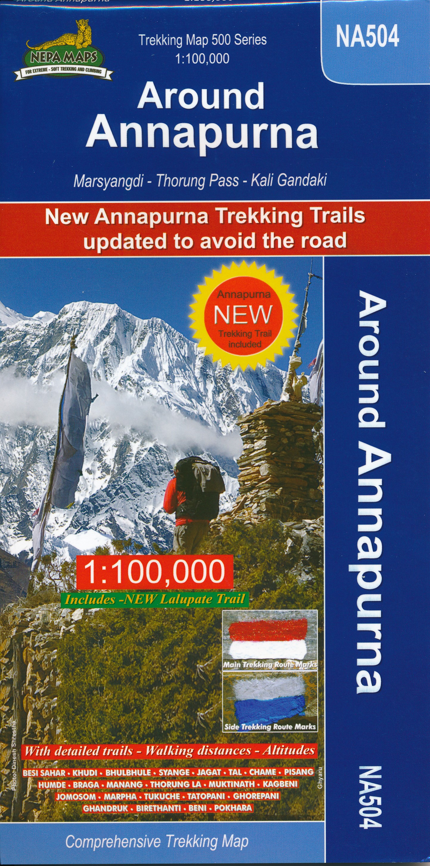
- Annapurna Himal
- Annapurna region at 1:100,000 in a series of detailed topographic maps of selected trekking areas of Nepal originally prepared by E. Schneider and now edited by the German Scientific Association of Comparative High-Mountain Research (Arbeitsgemeinschaft für vergleichende Hochgebirgsforschung). The map covers the whole of the Annapurna Circuit,... Read more