
Galicia
Beschreibung
Karte

Wanderwege Region
- Camino PrimitivoGPX
- GR1 Sendero Histórico, Senda TransversalGPX
- GR50 Ruta do MedievoGPX
- GR52 Ruta dos RíosGPX
- GR53 Sendero Panorámico de VigoGPX
- GR56 TransourensanoGPX
- GR57 Camí da FranqueiraGPX
- GR58 Sendero As GreasGPX
- GR59 Sender Roteiro Ecolóxico do MorrazoGPX
- GR65 Camino de SantiagoGPX
- GR94 Sendero Rural de GaliciaGPX
Links
Fakten
Berichte
Führer und Karten
Übernachtung
Organisationen
Reisebüros
GPS
Sonstiges
Bücher

The Book Depository
United Kingdom
United Kingdom
- The Road to Find Out
- A Modern Pilgrim and the Camino de Santiago Read more

The Book Depository
United Kingdom
United Kingdom
- There's something going on!
- Walking the Camino de Santiago Read more

The Book Depository
United Kingdom
2022
United Kingdom
2022
- Camino de Santiago - Via Podiensis
- Le Puy to the Pyrenees on the GR65 Read more
- Also available from:
- De Zwerver, Netherlands

De Zwerver
Netherlands
2022
Netherlands
2022
- Wandelgids Camino de Santiago - Via Podiensis GR65 | Cicerone
- Le Puy to the Pyrenees on the GR65 Read more

The Book Depository
United Kingdom
United Kingdom
- Turning 50 on El Camino de Santiago
- A Solo Woman's Travel Adventure Read more


The Book Depository
United Kingdom
2020
United Kingdom
2020
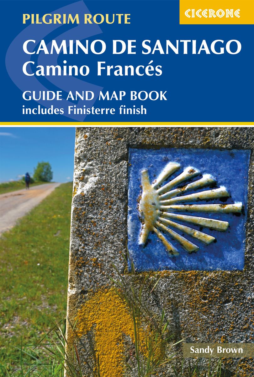
- Camino de Santiago: Camino Frances
- Guide and map book - includes Finisterre finish Read more
- Also available from:
- De Zwerver, Netherlands
De Zwerver
Netherlands
2020
Netherlands
2020
- Wandelgids - Pelgrimsroute Camino de Santiago - Camino Frances | Cicerone
- Guidebook and map book to walking the 784km Camino Frances from St Jean-Pied-de-Port in southern France to Santiago de Compostela in Spain, including an additional route to Finisterre. Split into 6 sections and 36 customisable stages, the guide lists over 500 pilgrim hostels. The map book covers the entire route, which can be walked in 4-5 weeks. Read more

The Book Depository
United Kingdom
2022
United Kingdom
2022
- A Pilgrim's Guide to Sarria - Santiago
- The Final 7 Stages of the Camino De Santiago Frances Read more

The Book Depository
United Kingdom
United Kingdom
- Pocket Pilgrim
- A wobbly journey along the Camino de Santiago Read more


The Book Depository
United Kingdom
United Kingdom
- Guided by Shadows
- A Westward Walk on Spain's Camino de Santiago Read more

The Book Depository
United Kingdom
2020
United Kingdom
2020
- Camino de Santiago Maps
- St. Jean Pied de Port - Santiago de Compostela Read more

The Book Depository
United Kingdom
2015
United Kingdom
2015
- Spain's Sendero Historico: The GR1
- Northern Spain - Picos to the Mediterranean Read more
- Also available from:
- De Zwerver, Netherlands
- Stanfords, United Kingdom

De Zwerver
Netherlands
2015
Netherlands
2015
- Wandelgids Spain's Sendero Historico: the GR1 | Cicerone
- Guidebook to the 1250km of Spain's Sendero Historico (GR1), traversing northern Spain from Puerto de Tarna in the province of Leon in the west to the Mediterranean near L'Escala in Catalonia, through fascinating, varied landscapes and the foothills of the Pyrenees. Described in 53 stages, about 25km each in length, with detailed mapping. Read more

Stanfords
United Kingdom
2015
United Kingdom
2015
- Spain`s Sendero Historico: The GR1: Northern Spain - Picos to the Mediterranean
- The Sendero Historico (the GR1) is a 1,250km long-distance path that takes you from Puerto de Tarna, on the border of Asturias and Castilla y León, east along the southern flank of the Cantabrian Mountains and the foothills of the Pyrenees before finishing on the Mediterranean coast near L`Escala.This walking guide splits the route that... Read more

The Book Depository
United Kingdom
United Kingdom
- A Walk in Spain
- Spiritual Awakening on the Camino de Santiago Read more

The Book Depository
United Kingdom
United Kingdom
- Toward Beauty
- Reigniting a Creative Life on the Camino de Santiago Read more
Weitere Bücher…

Karten
The Book Depository
United Kingdom
2006
United Kingdom
2006
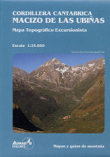
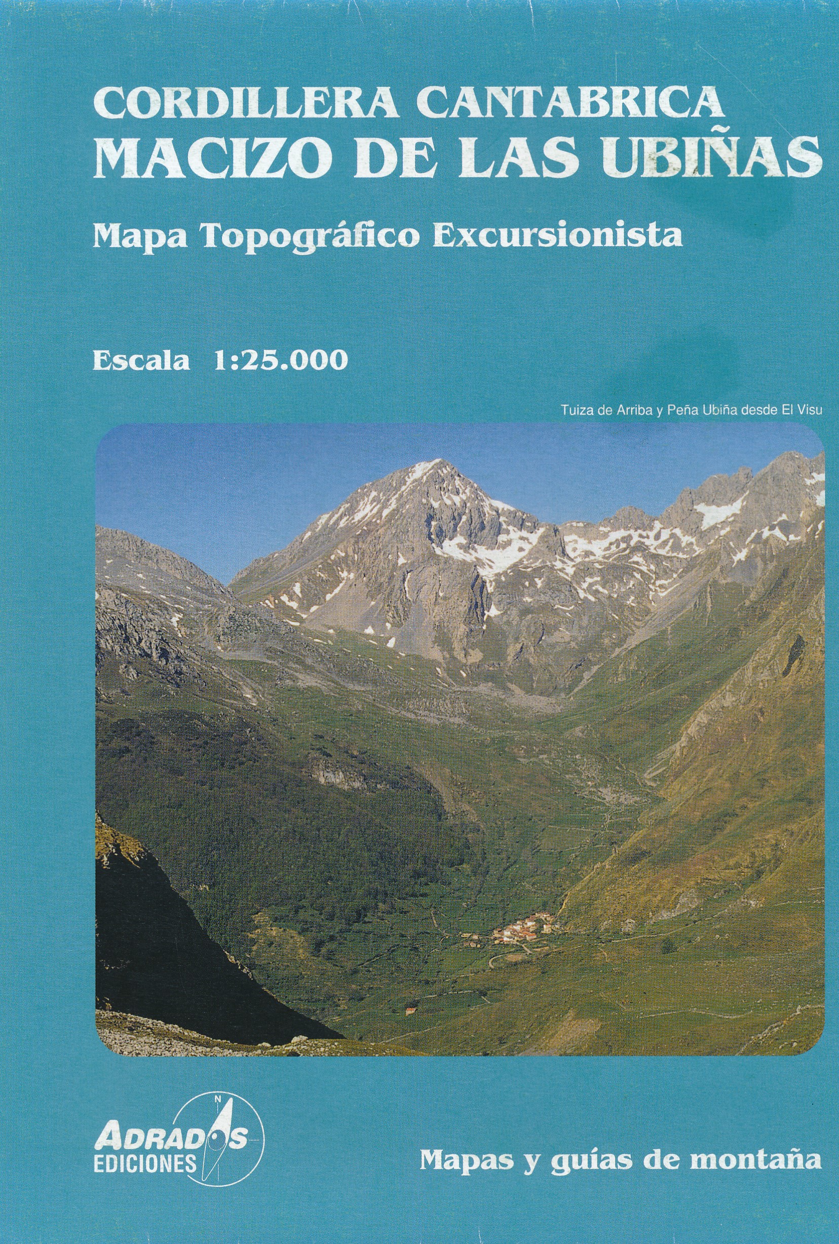
- Cordillera Canatabrica, Macito De Pena Ubina
- Topografische kaart van de Cordillera Cantabrica, Met de volgende toppen: Almagrera, Cerreros, Colines, Crestón del Pasu Malu, Fariñentu; Fontán; Huerto del Diablo, Mesa, Pachón; Ranchón; Rebollosas,etc. Read more
- Also available from:
- De Zwerver, Netherlands
De Zwerver
Netherlands
2006
Netherlands
2006
- Wandelkaart Macizo de las Ubinas | Adrados Ediciones
- Topografische kaart van de Cordillera Cantabrica, Met de volgende toppen: Almagrera, Cerreros, Colines, Crestón del Pasu Malu, Fariñentu; Fontán; Huerto del Diablo, Mesa, Pachón; Ranchón; Rebollosas,etc. Read more

De Zwerver
Netherlands
2020
Netherlands
2020
- Wandelatlas - Pelgrimsroute (kaart) 160 Camino de Santiago | Michelin
- Parcourez le Chemin Français (Camino Francés) avec ce petit atlas de poche Michelin. L'outil idéal pour mieux s'y retrouver lors de la préparation du voyage de randonnée sur ce sentier historique qui part de Saint-Jean-Pied-de-Port, dans le Pays basque français, et qui traverse tout le nord de l'Espagne... Read more

De Zwerver
Netherlands
2021
Netherlands
2021
- Also available from:
- Stanfords, United Kingdom

Stanfords
United Kingdom
2021
United Kingdom
2021
- France - Ways of St James IGN Map 922
- France: Ways of St James to Compostela Map from the IGN presents an overview of all the routes across France taken by pilgrims on their way to Santiago de Compostela and the tomb of the apostle St James - the greatest of all goals for thousands of pilgrims in Europe during the Middle Ages. The map was prepared by the IGN and the Association de... Read more

De Zwerver
Netherlands
2020
Netherlands
2020
- Wandelatlas - Pelgrimsroute (kaart) 161 Chemins de Compostelle GR65 | Michelin
- Véritable petit atlas détaillant chaque étape avec indications précises concernant les villes de départ et d'arrivée ainsi que pour les localités traversées (auberges, refuges, restaurants, pharmacies, gare, épiceries, Km parcourus, Km restants....).Ce petit atlas suit le chemin du... Read more

De Zwerver
Netherlands
Netherlands
- Pelgrimsroute (kaart) - Wandelkaart Camino de Santiago in Spanje | CNIG - Instituto Geográfico Nacional
- All roads leading to Santiago de Compostela in the Iberian Peninsula are represented on this Caminos de Santiago / The Way of St. James Map. Routes highlighted on a physical map of the Iberian Peninsula at 1:1,250,000 from IGN/CNIG, Spain civilian topographic survey organization. The base map with altitude colouring and relief shading provides... Read more
- Also available from:
- Stanfords, United Kingdom

Stanfords
United Kingdom
United Kingdom
- Caminos de Santiago / Ways of St. James on the Iberian Peninsula CNIG Overview Map
- All roads leading to Santiago de Compostela in the Iberian Peninsula are represented on this Caminos de Santiago / The Way of St. James Map. Routes highlighted on a physical map of the Iberian Peninsula at 1:1,250,000 from IGN/CNIG, Spain civilian topographic survey organization. The base map with altitude colouring and relief shading provides... Read more
De Zwerver
Netherlands
Netherlands
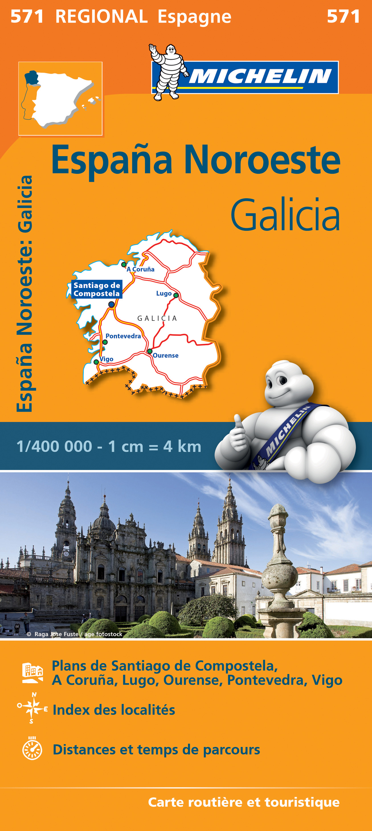
- Wegenkaart - landkaart 571 Galicia - Santiago de Compostela - Vigo - La Curuna (Galicië) noordwest Spanje | Michelin
- Une carte fiable pour parcourir les régions d'Europe Read more
De Zwerver
Netherlands
Netherlands
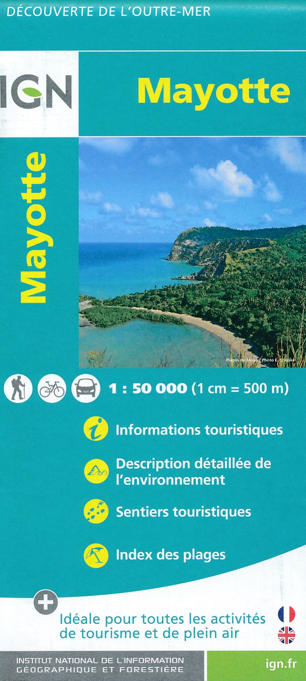
- Fietskaart - Wandelkaart Mayotte | IGN - Institut Géographique National
- MayotteLes cartes routières et touristiques de l?Outre-mer vous permettent de découvrir ces destinations exotiques. Read more
- Also available from:
- Stanfords, United Kingdom

Stanfords
United Kingdom
United Kingdom
- Mayotte IGN Map 84976
- Mayotte at 1:50,000 on a contoured and GPS compatible map from the IGN, with plans of Mazoudzou and Dzaoudzi, plus an index of beaches. Topography is shown by contours at 20m intervals with relief shading and spot heights, plus colouring and/or graphics for different types of vegetation. In the surrounding waters coral reefs are prominently... Read more
De Zwerver
Netherlands
2017
Netherlands
2017
De Zwerver
Netherlands
Netherlands
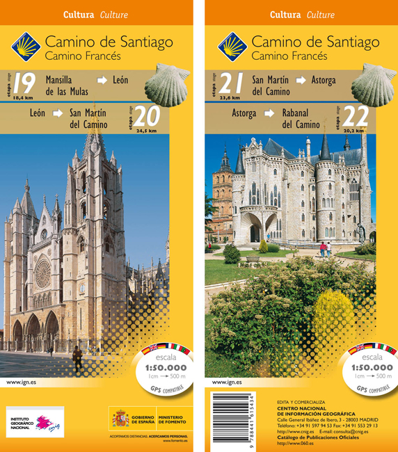
- Wandelkaart 19-22 Camino Santiago de Compostella Mansilla - Rabanal | CNIG - Instituto Geográfico Nacional
- Camino de Santiago: Stages 19/20/21/22, Mansilla de las Mulas/Rabanal del Camino, in a series of double-sided topographic maps at 1:50,000 from the Spanish civilian survey organization, overprinted with the route and sights, plus information of accommodation and other facilities, route profiles, etc.Each 1:50,000 map is double-sided and has... Read more
- Also available from:
- Stanfords, United Kingdom

Stanfords
United Kingdom
United Kingdom
- Camino de Santiago: Stages 19/20/21/22, Mansilla de las Mulas/Rabanal del Camino 50K CNIG Map
- Camino de Santiago: Stages 19/20/21/22, Mansilla de las Mulas/Rabanal del Camino, in a series of double-sided topographic maps at 1:50,000 from the Spanish civilian survey organization, overprinted with the route and sights, plus information of accommodation and other facilities, route profiles, etc.Each 1:50,000 map is double-sided and has... Read more
De Zwerver
Netherlands
Netherlands
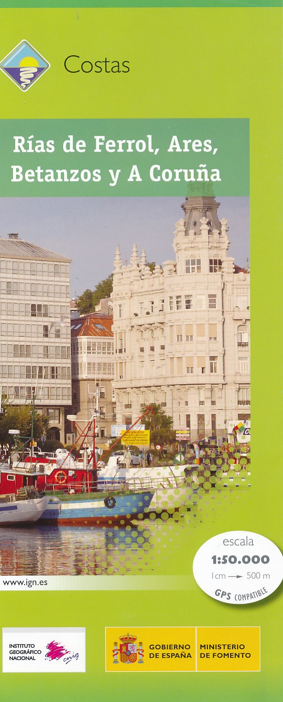
- Wandelkaart Costas - Rias de Ferrol - Ares - Betanzos - A Coruna | CNIG - Instituto Geográfico Nacional
- Topografische wandelkaart Spanje 1:50.000 met 20m hoogtelijnen en UTM grid. Verschillen in landgebruik en vegetatie zijn op de kaart aangeven, alsmede de grenzen van nationale parken. Read more
- Also available from:
- Stanfords, United Kingdom

Stanfords
United Kingdom
United Kingdom
- Rias de Ferrol - Ares - Betanzos and A Coruna CNIG Map
- The coast of Galicia between the towns of A Coruña and Ferrol on a detailed, GPS compatible topographic map at 1:50,000 from the country’s civilian survey organization, with additional nautical information in the bays of Ferrol, Ares, Betanzos and Coruña. The map has the cartography of Spain’s civilian topographic survey at 1:50,000 with... Read more
De Zwerver
Netherlands
2013
Netherlands
2013
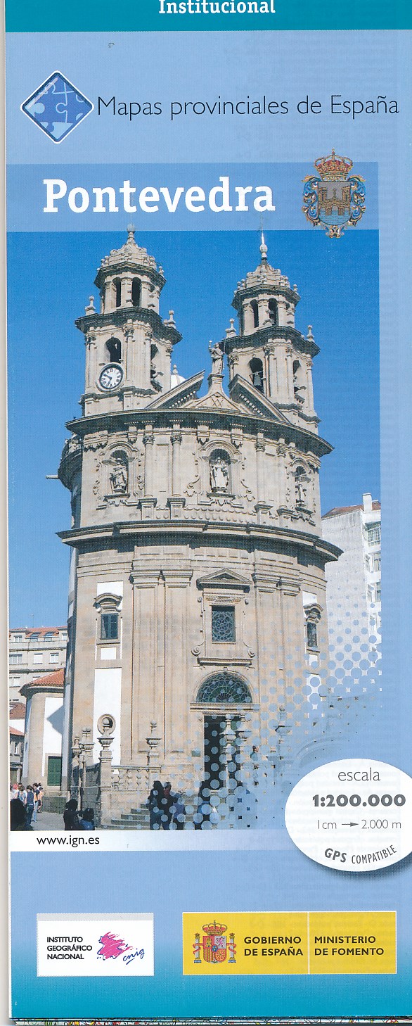
- Wegenkaart - landkaart Mapa Provincial Pontevedra | CNIG - Instituto Geográfico Nacional
- Pontevedra Province in a series of contoured, GPS-compatible, indexed road maps at 1:200,000 from the IGN - CNIG, Spain Read more
- Also available from:
- Stanfords, United Kingdom

Stanfords
United Kingdom
2013
United Kingdom
2013
- Pontevedra Province 200K CNIG Map No. 36
- Contoured, GPS-compatible, indexed road map at 1:200,000 from CNIG - Spain’s civilian survey organization, with exceptionally informative presentation of the landscape and highlighting for facilities and places of interest including campsites and paradors.Maps in CNIG’s 200K Provincial Series provide an excellent picture the topography through... Read more
De Zwerver
Netherlands
Netherlands
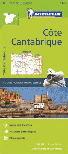
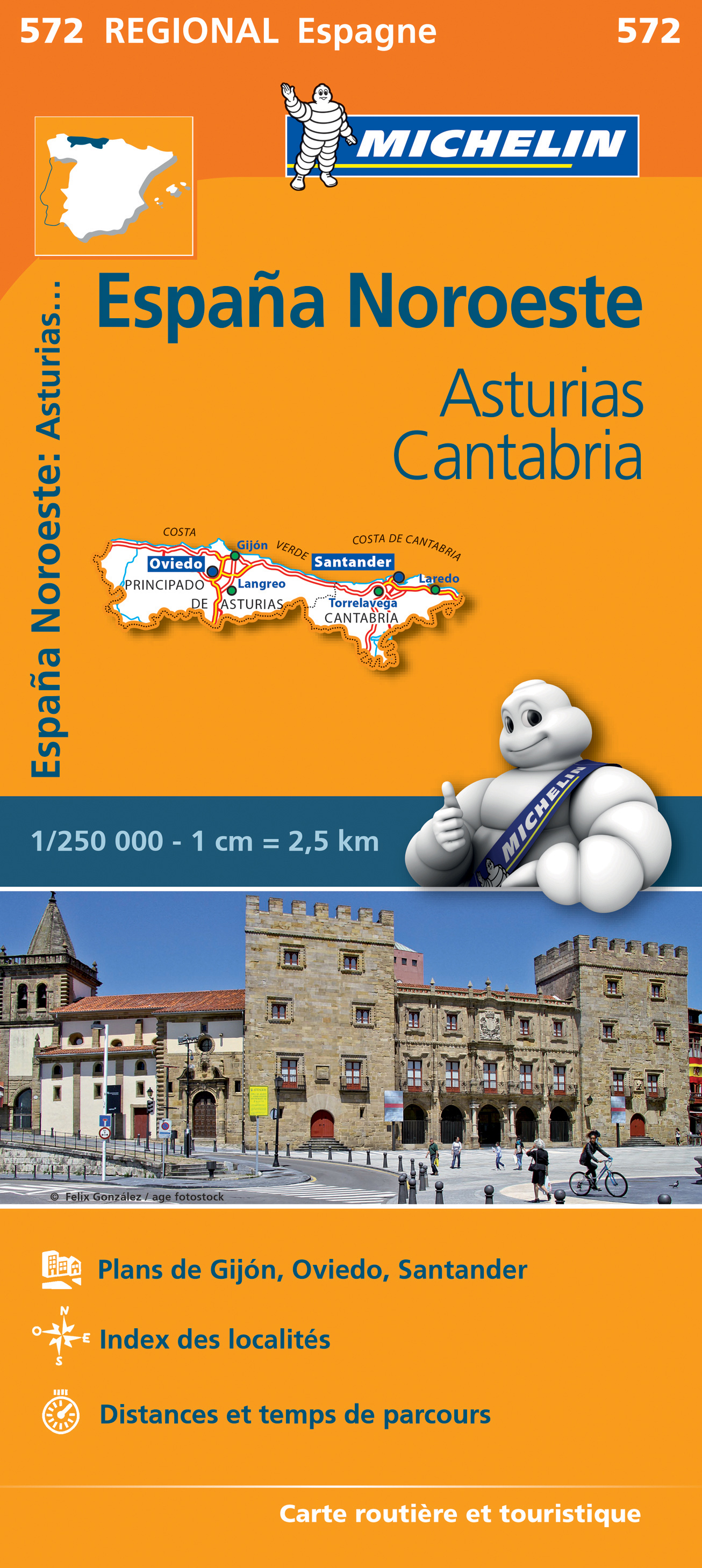
- Wegenkaart - landkaart 572 Asturias - Cantabria - Oviedo - Santander | Michelin
- Une carte fiable pour parcourir les régions d'Europe Read more
De Zwerver
Netherlands
2017
Netherlands
2017

De Zwerver
Netherlands
Netherlands
- Wandelkaart 23-26 Camino Santiago de Compostella Rabanal - Triacastela | CNIG - Instituto Geográfico Nacional
- Camino de Santiago: Stages 23/24/25/26, Rabanal del Camino/Triacastela, in a series of double-sided topographic maps at 1:50,000 from the Spanish civilian survey organization, overprinted with the route and sights, plus information of accommodation and other facilities, route profiles, etc.Each 1:50,000 map is double-sided and has four 57 x... Read more
- Also available from:
- Stanfords, United Kingdom

Stanfords
United Kingdom
United Kingdom
- Camino de Santiago: Stages 23/24/25/26, Rabanal del Camino/Triacastela 50K CNIG Map
- Camino de Santiago: Stages 23/24/25/26, Rabanal del Camino/Triacastela, in a series of double-sided topographic maps at 1:50,000 from the Spanish civilian survey organization, overprinted with the route and sights, plus information of accommodation and other facilities, route profiles, etc.Each 1:50,000 map is double-sided and has four 57 x... Read more
De Zwerver
Netherlands
2014
Netherlands
2014
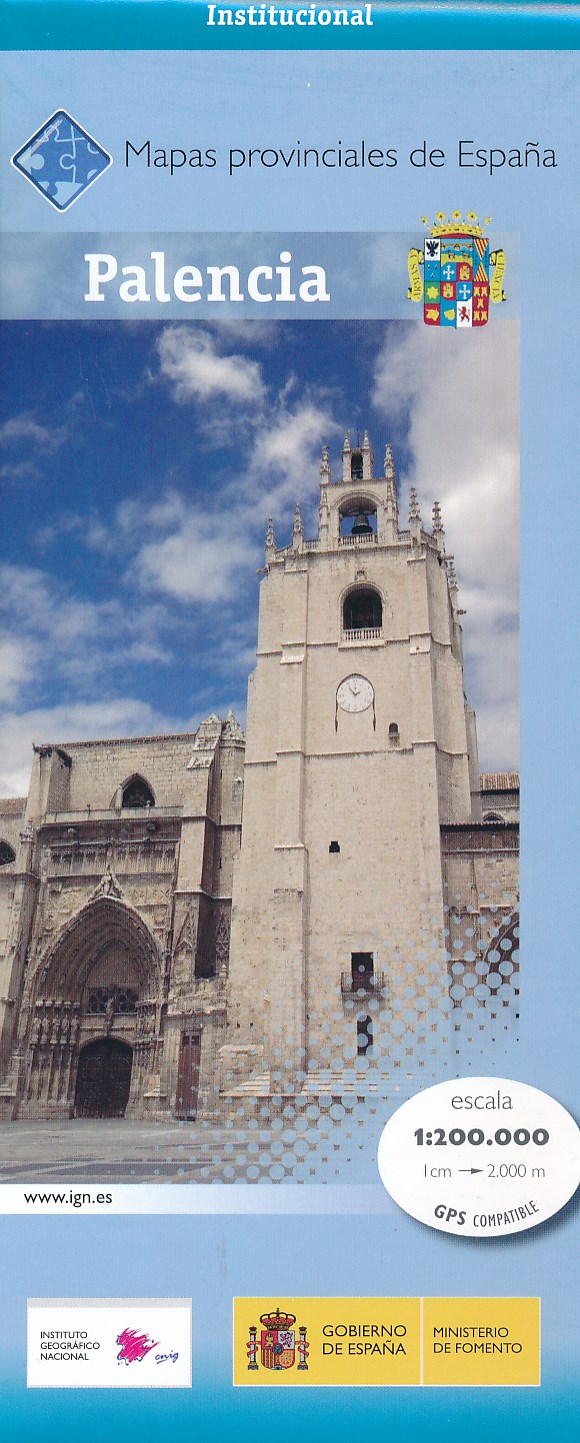
- Wegenkaart - landkaart Mapa Provincial Palencia | CNIG - Instituto Geográfico Nacional
- Palencia Province of Spain at 1:200,000 in a series of contoured, GPS-compatible, indexed road maps at 1:200,000 from the IGN/CNIG, the country’s civilian survey organization, with exceptionally informative presentation of the landscape and highlighting for facilities and places of interest including campsites and paradors.Maps in this series... Read more
- Also available from:
- Stanfords, United Kingdom

Stanfords
United Kingdom
2014
United Kingdom
2014
- Palencia Province 200K CNIG Map No. 35
- Contoured, GPS-compatible, indexed road map at 1:200,000 from CNIG - Spain’s civilian survey organization, with exceptionally informative presentation of the landscape and highlighting for facilities and places of interest including campsites and paradors.Maps in CNIG’s 200K Provincial Series provide an excellent picture the topography through... Read more