
Hkakabo Razi
Beschreibung
- Höhe 5881.00 m
The snow-capped Hkakabo Razi (5881 m) is Burma's highest peak, and part of the Myanmar Himalaya's. It is located on the border where China (Tibet), India and Burma meet.
Links
Fakten
Berichte
Führer und Karten
Übernachtung
Organisationen
Reisebüros
GPS
Sonstiges
Bücher
De Zwerver
Netherlands
Netherlands
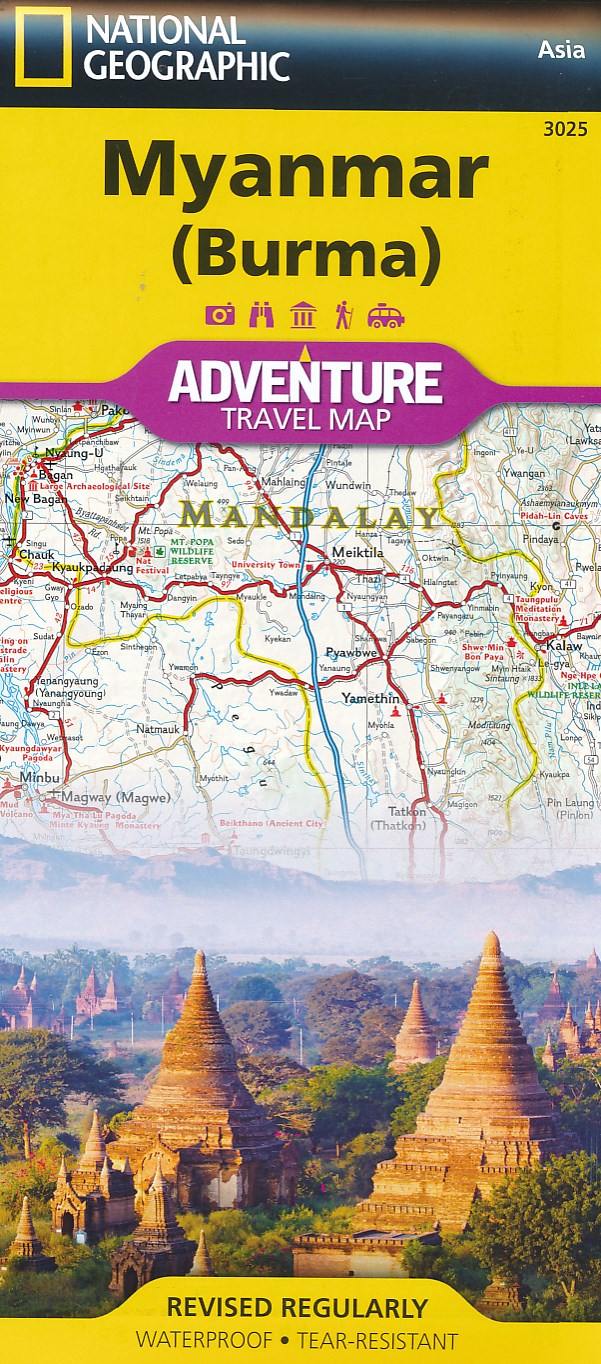
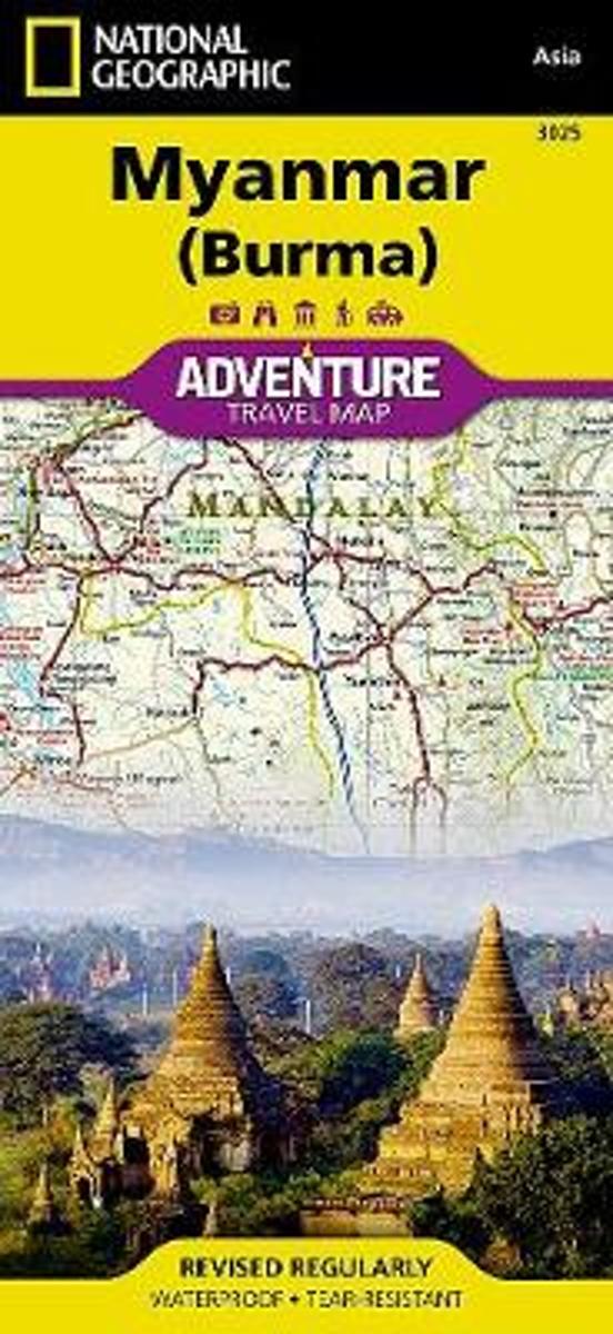
- Wegenkaart - landkaart Adventure Map Myanmar - Birma | National Geographic
- Waterproof Tear-Resistant Travel MapNational Geographic's Myanmar (Burma) Adventure Map is designed to meet the needs of adventure travelers with its durability and detailed, accurate information. This map includes the locations of cities and towns with a user-friendly index, a clearly marked road network complete with distances and... Read more
- Also available from:
- Bol.com, Netherlands
- Bol.com, Belgium
Bol.com
Netherlands
Netherlands
- Myanmar (burma)
- Waterproof Tear-Resistant Travel MapNational Geographic's Myanmar (Burma) Adventure Map is designed to meet the needs of adventure travelers with its durability and detailed, accurate information. This map includes the locations of cities and towns with a user-friendly index, a clearly marked road network complete with distances and... Read more
Bol.com
Belgium
Belgium
- Myanmar (burma)
- Waterproof Tear-Resistant Travel MapNational Geographic's Myanmar (Burma) Adventure Map is designed to meet the needs of adventure travelers with its durability and detailed, accurate information. This map includes the locations of cities and towns with a user-friendly index, a clearly marked road network complete with distances and... Read more