Kyushu Nature Trail
Beschreibung
- Name Kyushu Nature Trail
- Länge von Wanderweg 2,587 km, 1,607 Meilen
- Länge in Tagen 130 Tage
- Traildino Schwierigkeit MW, Mittelschwere Wanderung mit Rucksack
- Schwierigkeitsgrad Berg- und Alpinwanderung T1, Wandern
2587 km
九州自然歩道
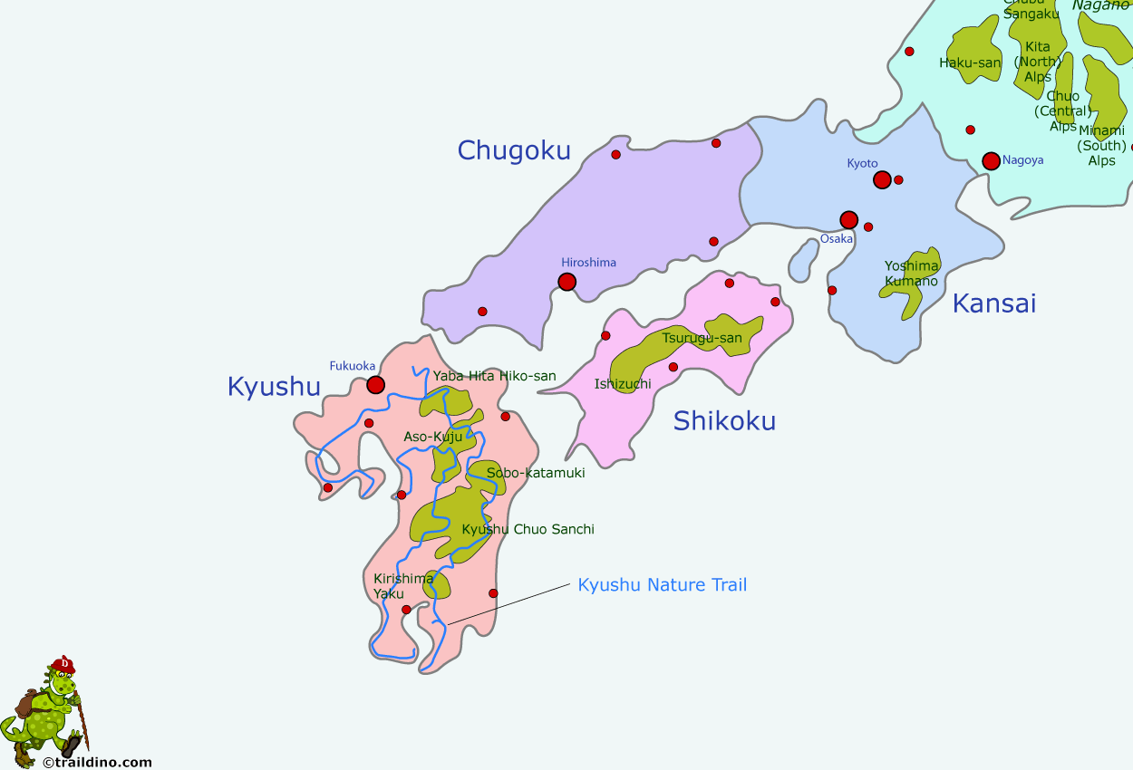
Prefectures of Fukuoka, Saga, Nagasaki, Kumamoto, Oita, Miyazaki and Kagoshima
Kyushu is the southernmost island of Japan. Volcanism is manifest here: Mt Aso in the centre of the island is an active volcano. The subtropical climate makes the island suitable for rice, tea, tobacco and silk. The island is prone to typhoons and heavy rainfall.
The Kyushu Nature Trail ventures into the mountains, passes hot springs, and explores several national parks.
Select some tracks
☐九州自然歩道 (Kyushu Nature Trail), 31km


