
Parseierspitze
Beschreibung
- Höhe 3036.00 m
Links
Fakten
Berichte
Führer und Karten
Übernachtung
Organisationen
Reisebüros
GPS
Sonstiges
Karten

The Book Depository
United Kingdom
United Kingdom
- Also available from:
- Stanfords, United Kingdom

Stanfords
United Kingdom
United Kingdom
- Lechtal Alps - Allgau Alps F&B WK351
- Lechtaler - Allgäuer Alpen - Oberstdorf - Landeck area of the Austrian and Bavarian Alps presented at 1:50,000 in a series of contoured and GPS compatible outdoor leisure map from Freytag & Berndt with hiking and cycling routes, mountain huts, campsites and youth hostels, local bus stops, plus other tourist information. To see the list of... Read more
De Zwerver
Netherlands
2022
Netherlands
2022

Stanfords
United Kingdom
United Kingdom
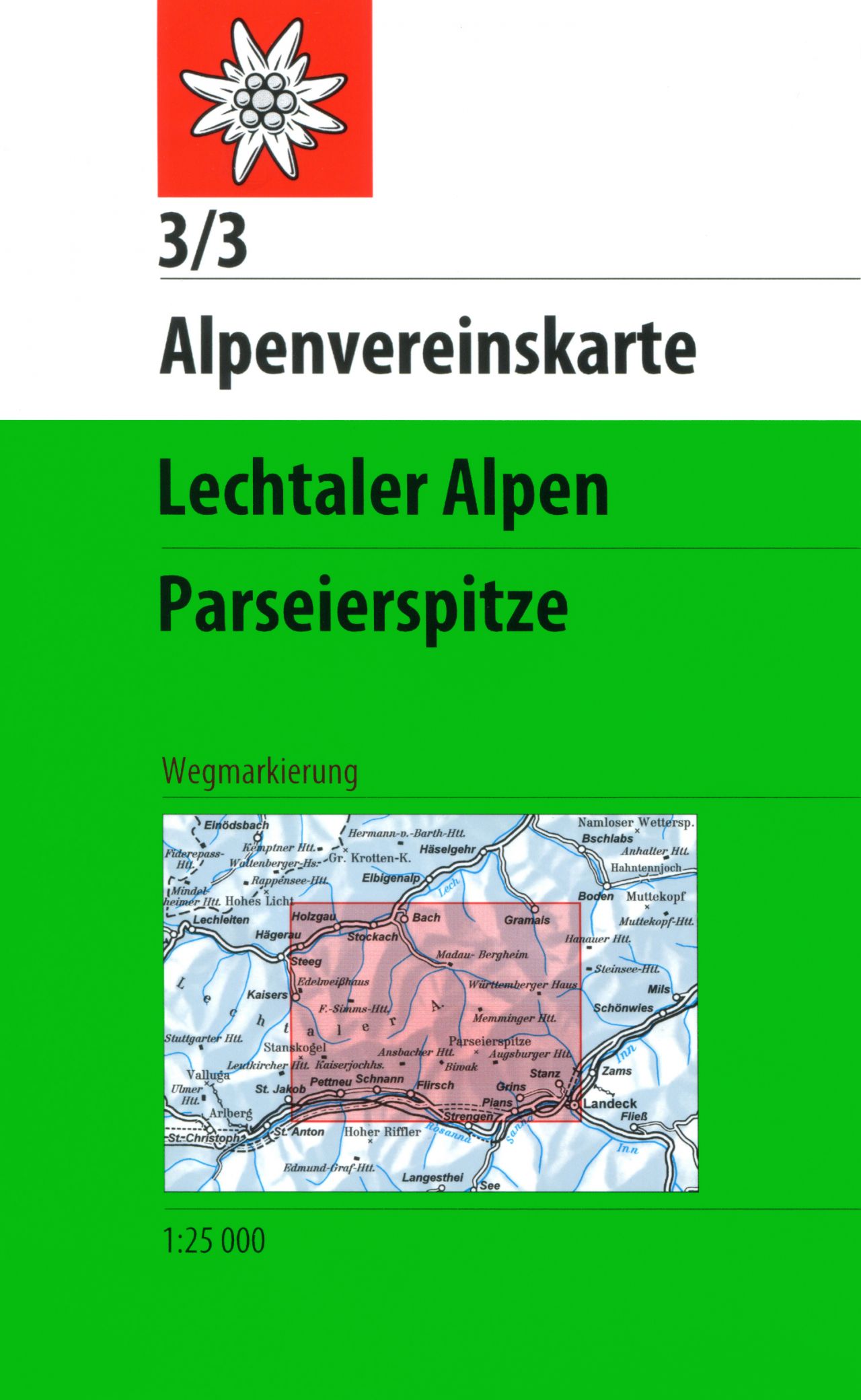
- Lechtal Alps - Parseierspitze Alpenverein Map 3/3
- Lechtaler Alps: Parseierspitze area of the Alps in a hiking edition at 1:25,000 from a series of detailed, GPS compatible maps published by the DAV - Deutscher Alpenverein and produced by the German and Austrian Alpine Clubs using cartography from their respective survey organizations. Maps in this series have topography vividly presented by... Read more