Kaisergebirge
Beschreibung

The Kaisergebirge is one of the highlights of the Northern Limestone Alps. The area lies in the north of Austria near the German border, near Kufstein, the best place to start.
It is a beautiful and popular mountain area, not that large, but exceptionally beautiful. On the north side is a mountain range called the Kaiser Zahmer. To the south lies the Wilder Kaiser, with the Ellmauer Halt (2344 m) as its highest summit. In between the charming Kaisertal is situated, with the spectacular limestone mountains towering above.
The dramatic walls and sharp peaks are a paradise for climbers. For the experienced walker, there are good hiking possibilities too, but the traverse of the limestone ranges themselves is not simple. The highest peaks can be reached by the average hiker. And those who like to climb along the Klettersteige (Via Ferrata) will find many routes.
A good and safe walk is a four day trip around the Wilder Kaiser massif. Alternatively, one can climb the Pyramidenspitze (1997 m), the highest point of the Zahmer Kaiser, or the Ellmauer Halt itself. Of course, you can expect a good selection of huts in the Kaisergebirge.
Karte

Wanderwege Region
Links
Fakten
Berichte
Führer und Karten
Übernachtung
Organisationen
Reisebüros
GPS
Sonstiges
Bücher

Netherlands
2022
Netherlands
2023
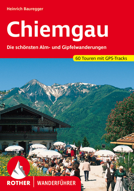
- Wandelgids 22 Chiemgau | Rother Bergverlag
- Uitstekende wandelgids met een groot aantal dagtochten in dal en hooggebergte. Met praktische informatie en beperkt kaartmateriaal! Wandelingen in verschillende zwaarte weergegeven in rood/blauw/zwart. Die Landschaft des Chiemgaus, mit ihren anheimelnden, schmucken Dörfern, ihren weiten, sanften Wiesenflächen, die von mehr oder weniger steil... Read more

Netherlands
2018
- Wandelgids Tourist route E4 in Bulgaria | Oilaripi
- Verrassend goede wandelgids van een deel van de E4 in Bulgarije. Goede kaarten, hoogteprofielen, prima beschrijvingen en praktische informatie maken het een volwaardige wandelgids die je in eerste instantie van dit gebied niet zou verwachten. Guidebook along the main ridge of the great alpine route E4 in Bulgaria, also known as �the fiv... Read more

Netherlands
2023

Netherlands
2015
- Wandelgids Österreich: Adlerweg - Oostenrijk | Conrad Stein Verlag
- Handzaam boekje met de routebeschrijving inclusief een heleboel praktische informatie. De beschrijving is uitstekend, maar kaarten zijn beperkt en schetsmatig aanwezig. Duits. Dieses OutdoorHandbuch beschreibt Tirols bekanntesten Fernwanderweg, den 320 km langen Adlerweg zwischen St. Johann i. T. im Osten und der Passhöhe des Arlbergpasses im... Read more

Netherlands
2012
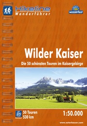
- Wandelgids Hikeline Wilder Kaiser | Esterbauer
- Handzame gids met een goede beschrijving van een groot aantal dagtochten in dit gebied. De gids is in spiraalbinding en elke pagina is op scheur- en watervast papier gedrukt. Daar is echt over nagedacht! Wilder Kaiser Das Kaisergebirge im österreichischen Bundesland Tirol liegt mit seinen beiden markanten Gebirgsstöcken, dem Zahmen und dem... Read more
Netherlands
2022
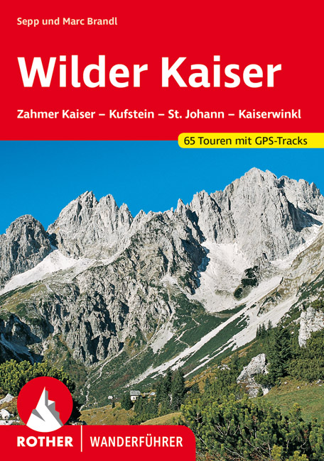
- Wandelgids Wilder Kaiser | Rother Bergverlag
- Zahmer Kaiser - Kufstein - St. Johann - Kössen. 56 ausgewählte Bergwanderungen in und um das Kaisergebirge Read more

Netherlands
2021
- Wandelgids Adlerweg - Adelaarsweg | Rother Bergverlag
- De Rother wandelgidsen beschrijven zeer goed de wandelingen in specifieke gebieden. In de gids vindt men kaarten, routebeschrijvingen en de nodige praktische informatie om van de wandelingen/trekkings een geslaagde onderneming te maken. 31 Höhenprofile; 32 Wanderkärtchen im Maßstab 1:75.000, zwei Übersichtskarten; GPS-Tracks zum Download »Auf... Read more

- Also available from:
- Bol.com, Netherlands
- Bol.com, Belgium

Netherlands
- My Favorite Central Sierra Nevada Hikes
- This book describes my favorite hikes over the last 20 years in the Central Sierra Nevada Mountains. These hikes include Vernal and Nevada Falls, Half Dome, Cloud's Rest, Vogelsang High Sierra Camp, Ostrander Lake, Pohono Trail and Chilnualna Falls in Yosemite National Park. They also include hikes in the Sierra National Forest including... Read more
Belgium
- My Favorite Central Sierra Nevada Hikes
- This book describes my favorite hikes over the last 20 years in the Central Sierra Nevada Mountains. These hikes include Vernal and Nevada Falls, Half Dome, Cloud's Rest, Vogelsang High Sierra Camp, Ostrander Lake, Pohono Trail and Chilnualna Falls in Yosemite National Park. They also include hikes in the Sierra National Forest including... Read more
Netherlands
2018
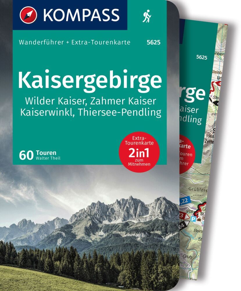
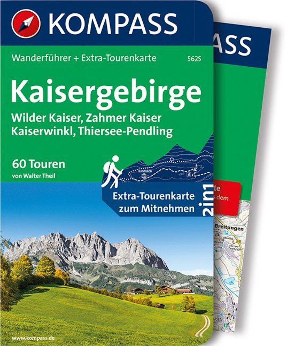
- WF5625 Kaisergebirge Kompass
- Destination:. Das Tourengebiet umfasst den Bereich des Wilden Kaisers und des Zahmen Kaisers, begrenzt durch die Linien Ebbs - Kössen - St. Johann - Söll - Ebbs, sowie die angrenzenden Gebiete des Kaiserwinkls im Norden, des Großachentals im Osten, der Kitzbüheler Aussichtsberge im Süden und des Pölven- und Pendlingkamms im Westen.. Der... Read more
- Also available from:
- Bol.com, Belgium
Belgium
2018
- WF5625 Kaisergebirge Kompass
- Destination:. Das Tourengebiet umfasst den Bereich des Wilden Kaisers und des Zahmen Kaisers, begrenzt durch die Linien Ebbs - Kössen - St. Johann - Söll - Ebbs, sowie die angrenzenden Gebiete des Kaiserwinkls im Norden, des Großachentals im Osten, der Kitzbüheler Aussichtsberge im Süden und des Pölven- und Pendlingkamms im Westen.. Der... Read more

Netherlands
2017
- Wandelgids E4 Kreta Lefka Ori und Lasithi | Conrad Stein Verlag
- OutdoorHandbuch. 3. Auflage. Read more
- Also available from:
- Bol.com, Netherlands
- Bol.com, Belgium

Netherlands
2017
- Griechenland: Trans Kreta E4
- Kein Geheimtipp und dennoch etwas in Vergessenheit geraten ist das ber 500 km lange Teilst ck des europ ischen Fernwanderweges E4 auf Kreta. Bereits seit den 1970er-Jahren geh rt dieser Abschnitt zu einem der beliebtesten des l ngsten europ ischen Fernwanderweges und ist somit ein echter Trekkingklassiker.Wer gut markierte Pfade und verl... Read more
Belgium
2017
- Griechenland: Trans Kreta E4
- Kein Geheimtipp und dennoch etwas in Vergessenheit geraten ist das ber 500 km lange Teilst ck des europ ischen Fernwanderweges E4 auf Kreta. Bereits seit den 1970er-Jahren geh rt dieser Abschnitt zu einem der beliebtesten des l ngsten europ ischen Fernwanderweges und ist somit ein echter Trekkingklassiker.Wer gut markierte Pfade und verl... Read more

- Also available from:
- Bol.com, Belgium
Netherlands
2012
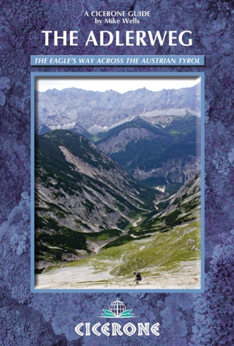
- The Adlerweg
- The Adlerweg (or Eagle's Way) is a well maintained and waymarked 300km path traversing the length of the Austrian Tyrol from St Johann in the east to St Anton in the west. It follows established mountain and valley tracks to traverse the length of the Austrian state of Tyrol from east to west. 6 low-level alternative stages and a challenging 8... Read more
- Also available from:
- Bol.com, Belgium
Belgium
2012
- The Adlerweg
- The Adlerweg (or Eagle's Way) is a well maintained and waymarked 300km path traversing the length of the Austrian Tyrol from St Johann in the east to St Anton in the west. It follows established mountain and valley tracks to traverse the length of the Austrian state of Tyrol from east to west. 6 low-level alternative stages and a challenging 8... Read more
Karten

United Kingdom
- Prespa - Vitsi - Voras
- Uitstekende topografische kaarten van een deel van Griekenland: zonder meer hele goede kaarten voor wandeltochten in een onbekend stuk Griekenland! Ze zijn gedrukt op scheurvast en watervast papier op een schaal van 1:50.000 met een UTM grid voor GPS gebruikers. Op de meeste kaarten is geven de hoogtelijnen een interval van 20m. aan. Met... Read more
- Also available from:
- De Zwerver, Netherlands
- Stanfords, United Kingdom

Netherlands
- Wandelkaart 6.2 Prespa - Vitsi - Voras | Anavasi
- Uitstekende topografische kaarten van een deel van Griekenland: zonder meer hele goede kaarten voor wandeltochten in een onbekend stuk Griekenland! Ze zijn gedrukt op scheurvast en watervast papier op een schaal van 1:50.000 met een UTM grid voor GPS gebruikers. Op de meeste kaarten is geven de hoogtelijnen een interval van 20m. aan. Met... Read more

United Kingdom
- Prespa - Vitsi - Voras Anavasi 6.2
- Prespa - Vitsi – Voras area of northern Greece at 1:50,000 on a light, waterproof and tear-resistant, GPS compatible, contoured map from Anavasi, with recommendations for three hiking trails and notes on the E4 and E6 cross-European trails. The map is double-sided; coverage in the west starts from the Prespa Lake on the border with Albania and... Read more

United Kingdom
- Also available from:
- Stanfords, United Kingdom

United Kingdom
- Kufstein - Kaisergebirge - Kitzbühel F&B WK301
- Kufstein - Kaisergebirge - Kitzbühel - Wörgl - St Johann in Tirol area of the Austrian Alps presented at 1:50,000 in a series of contoured and GPS compatible outdoor leisure map from Freytag & Berndt with hiking and cycling routes, mountain huts, campsites and youth hostels, local bus stops, plus other tourist information. To see the list of... Read more

United Kingdom
- Samaria - Sougia
- Uitstekende topografische kaarten van een deel van Griekenland: zonder meer hele goede kaarten voor wandeltochten in een onbekend stuk Griekenland! Ze zijn gedrukt op scheurvast en watervast papier op een schaal van 1:25.000 met een UTM grid voor GPS gebruikers. Op de meeste kaarten is geven de hoogtelijnen een interval van 20m. aan. Met... Read more
- Also available from:
- De Zwerver, Netherlands
- Stanfords, United Kingdom

Netherlands
- Wandelkaart 11.13 Samaria - Soughia - Kreta | Anavasi
- Uitstekende topografische kaarten van een deel van Griekenland: zonder meer hele goede kaarten voor wandeltochten in een onbekend stuk Griekenland! Ze zijn gedrukt op scheurvast en watervast papier op een schaal van 1:25.000 met een UTM grid voor GPS gebruikers. Op de meeste kaarten is geven de hoogtelijnen een interval van 20m. aan. Met... Read more

United Kingdom
- Samaria - Sougia - Paliochora Anavasi 11.13
- Samaria – Sougia area of the White Mountains on Crete on a waterproof and tear-resistant, GPS compatible and contoured hiking map at 1:25,000 from Anavasi, extending from the famous Gorge of Samaria westwards to Azogyres and Plemeniana, and north past Omalos and the peaks of Troili and Kaimeni Kafala.Topography is shown by contour lines at 20m... Read more

United Kingdom
- Crete West
- Western Crete on a double-sided, contoured and GPS compatible map at 1:100,000 from Harms Verlag, with highlighting for numerous places of interest and 20 recommended hiking trails, plus street plans of central Heraklion, Rethymnon and Chania and a plan of the archaeological site at Knossos. All place names are in both Greek and Latin alphabet.... Read more
- Also available from:
- De Zwerver, Netherlands

Netherlands
- Wandelkaart Kreta west | Harms IC Verlag
- Western Crete on a double-sided, contoured and GPS compatible map at 1:100,000 from Harms Verlag, with highlighting for numerous places of interest and 20 recommended hiking trails, plus street plans of central Heraklion, Rethymnon and Chania and a plan of the archaeological site at Knossos. All place names are in both Greek and Latin alphabet.... Read more

United Kingdom
- Fragokastelo - Plakias 2016
- Uitstekende topografische kaarten van een deel van Griekenland: zonder meer hele goede kaarten voor wandeltochten in een onbekend stuk Griekenland! Ze zijn gedrukt op scheurvast en watervast papier op een schaal van 1:25.000 met een UTM grid voor GPS gebruikers. Op de meeste kaarten is geven de hoogtelijnen een interval van 20m. aan. Met... Read more
- Also available from:
- De Zwerver, Netherlands
- Stanfords, United Kingdom

Netherlands
- Wandelkaart 11.17 Frangokastelo - Plakias - Kreta | Anavasi
- Uitstekende topografische kaarten van een deel van Griekenland: zonder meer hele goede kaarten voor wandeltochten in een onbekend stuk Griekenland! Ze zijn gedrukt op scheurvast en watervast papier op een schaal van 1:25.000 met een UTM grid voor GPS gebruikers. Op de meeste kaarten is geven de hoogtelijnen een interval van 20m. aan. Met... Read more

United Kingdom
- Frangokastelo - Plakias Anavasi 11.17
- The Frangokastelo – Plakias area on the southern coast of Crete at 1:25,000 in a series of contoured, GPS compatible hiking maps of Crete from Anavasi, printed waterproof and tear-resistant paper. Annotations provide useful hints for walkers. Coverage extends from Imbros Gorge in the west to Plakias in the east.Topography is shown by contour... Read more

United Kingdom
- Exo Mani 2018
- Uitstekende wandelkaart op scheur- en watervast papier van het wandelgebied rond Kardamyli maar ook nog met Agios Nikolaos. De wandelpaden staan er op ingetekend, zo ook alle bezienswaardigheden als klooster, kastelen en meerdere opgravingen. Mani is the middle and southernmost peninsula of the Peloponnese and is split between Laconia and... Read more
- Also available from:
- De Zwerver, Netherlands
- Stanfords, United Kingdom

Netherlands
- Wandelkaart 8.10 Exo Mani | Anavasi
- Uitstekende wandelkaart op scheur- en watervast papier van het wandelgebied rond Kardamyli maar ook nog met Agios Nikolaos. De wandelpaden staan er op ingetekend, zo ook alle bezienswaardigheden als klooster, kastelen en meerdere opgravingen. Mani is the middle and southernmost peninsula of the Peloponnese and is split between Laconia and... Read more

United Kingdom
- Exo Mani - Verga - Kardamyli - Trachila Anavasi 8.10
- The northern part of the western coast of the Mani Peninsula, the “middle finger” of the Peloponnese, on a light, waterproof and tear-resistant, double-sided, contoured and GPS-compatible map at 1:20,000 from Anavasi highlighting 24 hiking trails and various facilities and places of interest. Coverage, with a good overlap between the sides,... Read more

Netherlands
2016
- Wandelgids The Cretan Way E4 | Anavasi
- The Cretan Way is a 500km walking route which takes you from east to west across the varied and spectacular landscapes of Crete. It is the ideal way to discover the rural, mountainous and costal regions of this incredible island. This guide is based on a 28-day walk.This guide includes practical information, maps at a scale of 1:25.000 of... Read more
- Also available from:
- Stanfords, United Kingdom

United Kingdom
2016
- The Cretan Way - A 28 Day Walk
- The Cretan Way is a 500km walking route which takes you from east to west across the varied and spectacular landscapes of Crete. It is the ideal way to discover the rural, mountainous and costal regions of this incredible island. This guide is based on a 28-day walk.This guide includes practical information, maps at a scale of 1:25.000 of... Read more

Netherlands
- Wandelkaart Sredna Gora - Bulgarije | Domino
- Pirin Mountains at 1:50,000 on a large, double-sided, contoured map with GPS waypoints for shelters and chalets, peaks, etc. and highlighting hiking routes. Topography is shown by contours at 40m intervals with additional relief shading and graphics and colouring for sandstone stacks, single rocks over 5m high, marshlands and different types of... Read more

Netherlands
- Wandelkaart 1 Stara Planina gebergte | Domino
- Stara Planina Central: Zlatitsa to Kalofer map at 1:50,000 from Bulgarian publishers Domino, contoured and GPS compatible, with hiking trails, accommodation options including a list of local mountain refuges, etc. The map is double-sided and covers the mountains from just west of Ribaritsa and Zlatitsa eastwards beyond Kalofer to the peak of... Read more
- Also available from:
- Stanfords, United Kingdom

United Kingdom
- Stara Planina Central: Zlatitsa to Kalofer Domino Map
- Stara Planina Central: Zlatitsa to Kalofer map at 1:50,000 from Bulgarian publishers Domino, contoured and GPS compatible, with hiking trails, accommodation options including a list of local mountain refuges, etc. The map is double-sided and covers the mountains from just west of Ribaritsa and Zlatitsa eastwards beyond Kalofer to the peak of... Read more

Netherlands
- Wandelkaart 2.4 Nafpaktos - Panaitoliko - Karpenisi | Anavasi
- Prespa - Vitsi – Voras area of northern Greece at 1:50,000 on a light, waterproof and tear-resistant, GPS compatible, contoured map from Anavasi, with recommendations for three hiking trails and notes on the E4 and E6 cross-European trails. The map is double-sided; coverage in the west starts from the Prespa Lake on the border with Albania and... Read more

Netherlands
- Wandelkaart 2.1 Mt. Parnassos | Anavasi
- Parnassos - Kirfis area in a series of waterproof and tear-resistant hiking maps at scales varying from 1:50,000 to 1:10,000, with a UTM grid for GPS users. Contour interval varies depending on the scale, on most maps it is 20m. Relief shading, spot heights, springs, seasonal streams and, in most titles, landscape/land-use variations, e.g.... Read more
Netherlands
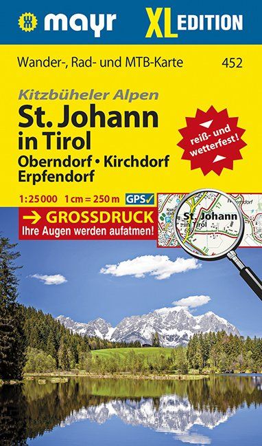
- Wandelkaart 452 XL Sankt Johann in Tirol | Mayr
- Oberndorf, Kirchforf, Erpfendorf. Kitzbüheler Alpen. Wander-, Rad- und Mountainbikekarte. GPS-genau. 1 : 25 000 Mayr Wanderkarten. Neuauflage. Read more

Netherlands
- Wandelkaart 2 Stara Planina gebergte | Domino
- Stara Planina Central: Uzana to Vratnik map at 1:50,000 from Bulgarian publishers Domino, contoured and GPS compatible, with hiking trails, accommodation options including a list of local mountain refuges, etc. The map is double-sided and covers the mountains from just west of the Uzana massif, the geographical centre of Bulgaria, eastwards to... Read more
- Also available from:
- Stanfords, United Kingdom

United Kingdom
- Stara Planina Central: Uzana to Vratnik Domino Map
- Stara Planina Central: Uzana to Vratnik map at 1:50,000 from Bulgarian publishers Domino, contoured and GPS compatible, with hiking trails, accommodation options including a list of local mountain refuges, etc. The map is double-sided and covers the mountains from just west of the Uzana massif, the geographical centre of Bulgaria, eastwards to... Read more

Netherlands
- Wandelkaart - Fietskaart - Wegenkaart - landkaart 448 Western Crete - Kreta West | Terrain maps
- Western Crete at 1:100,000 on an indexed, GPS compatible road map from Terrain Editions, printed on light, waterproof and tear-resistant plastic paper, with a street plan of central Chania.This title is part of a series which covers Crete in three sheets. The maps have contours at 100m intervals, enhanced by relief shading with spot heights and... Read more
- Also available from:
- Stanfords, United Kingdom

United Kingdom
- Western Crete Terrain Editions 448
- Western Crete at 1:100,000 on an indexed, GPS compatible road map from Terrain Editions, printed on light, waterproof and tear-resistant plastic paper, with a street plan of central Chania.This title is part of a series which covers Crete in three sheets. The maps have contours at 100m intervals, enhanced by relief shading with spot heights and... Read more