
Zillertal
Beschreibung
- Zugängliche Orte Mayrhofen, St. Jakob, St. Johann.
 The Zillertaler Alpen constitute the border between Austria and Italy, North and South Tirol, near the Brenner Pass. The central part is packed in glaciers, but of course also here the ice melts. Much of this mountain area is protected, and therefore a hikers paradise. The Hochfeiler / Gran Pilastro is, with its 3510 m, the highest peak. The Zillertal Alps is one of the most popular areas in Austria for the adventurous trekker and mountaineer. Between the about 30 huts, one can make numerous trips, often including the crossing of glaciers.
The popular Berliner Höhenweg located in this area, and this route does not involve crossing of real glaciers. Also, the Via Alpina traverses the Zillertal Alps. On the Italian side one will find the Pfunderer Höhenweg. On the Italian side are fewer glaciers and more trails.
The area to the north is best reached via Mayrhofen. On the Italian side best start is St. Jakob or St. Johann.
Karte

Wanderwege Region
Links
Fakten
Berichte
Führer und Karten
Übernachtung
Organisationen
Reisebüros
GPS
Sonstiges
Bücher

Netherlands
2018
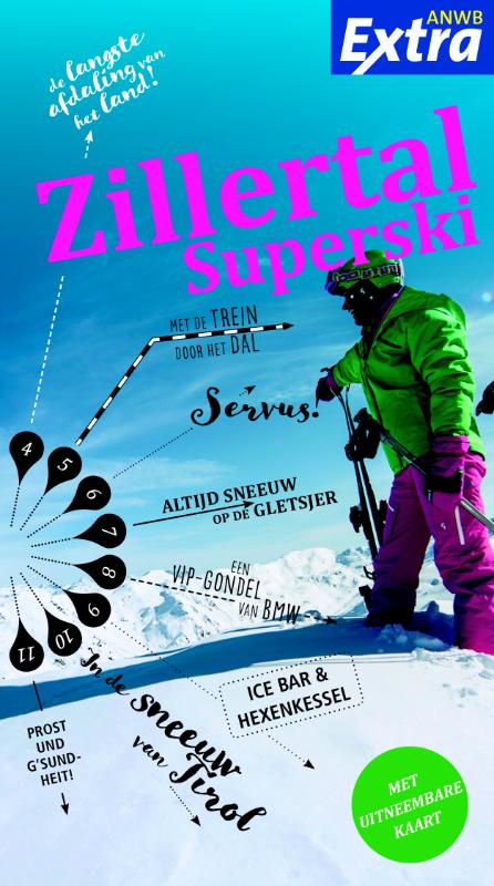
- Reisgids ANWB extra Zillertal superski | ANWB Media
- Beleef het Oostenrijkse Zillertal met de nieuwe reisgids ANWB Extra Zillertal Superski! Van beginner tot zeer ervaren skiër; het grote en veelzijdige Zillertal heeft voor elke wintersportfanaat wat wils. In het Zillertal vind je die echte Tiroler gezelligheid. Het gebied bestaat uit vier uitgebreide ski- gebieden die samen goed zijn voor zo’n... Read more

Netherlands
2022
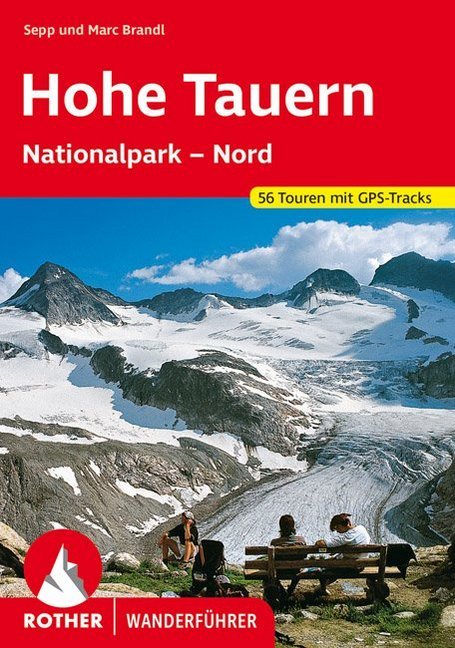
- Wandelgids Hohe Tauern - NP nord | Rother Bergverlag
- Uitstekende wandelgids met een groot aantal dagtochten in dal en hooggebergte. Met praktische informatie en beperkt kaartmateriaal! Wandelingen in verschillende zwaarte weergegeven in rood/blauw/zwart. Die Hohen Tauern sind eine der bekanntesten Hochgebirgsregionen der Ostalpen - mit riesigen Gletschern und zwei der berühmtesten Berge... Read more

Netherlands
2019
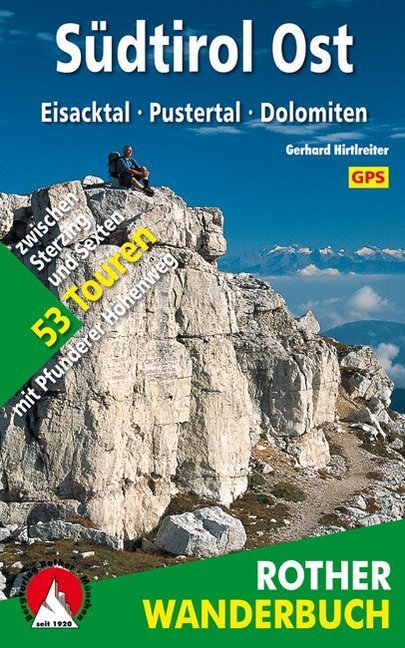
- Wandelgids Südtirol Ost Eisacktal - Pustertal - Dolomiten | Rother Bergverlag
- De ‘Rother Wanderbücher’ behandelen telkens de 50 mooiste wandelingen, die variëren van eenvoudige kindvriendelijke wandelingen tot routes die aanzienlijk meer ervaring vereisen. Uitvoerige routebeschrijvingen, een aantrekkelijke lay-out met vele kleurenfoto’s, niets aan duidelijkheid te wensen gelaten hoogteprofielen, kaartjes met de... Read more
Netherlands
2022
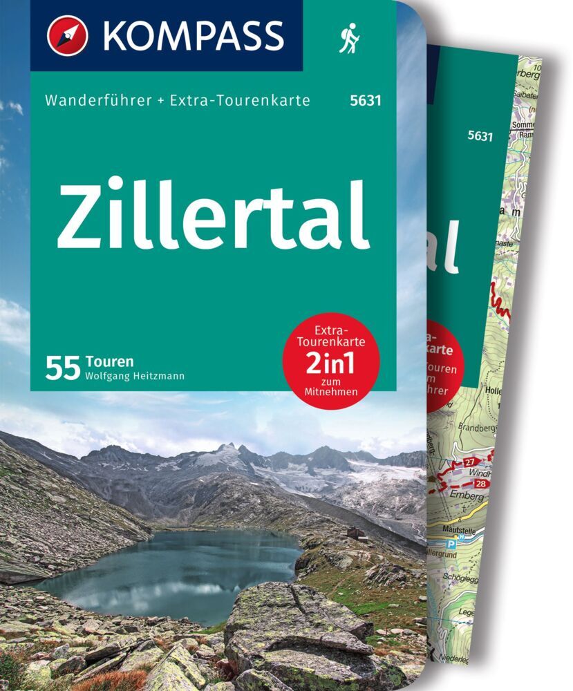
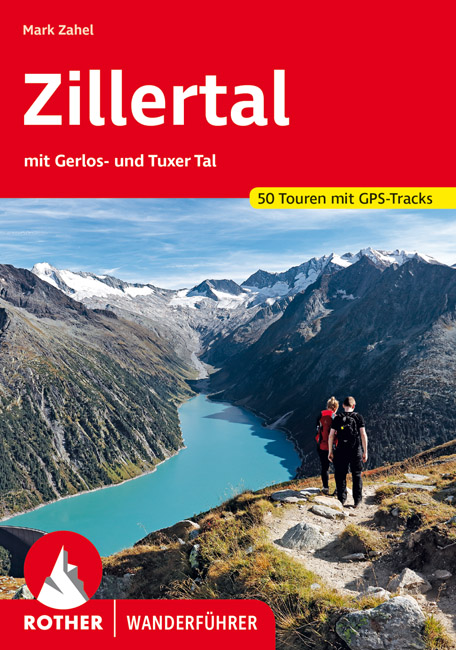
- Wandelgids Zillertal | Rother Bergverlag
- Uitstekende wandelgids met een groot aantal dagtochten in dal en hooggebergte. Met praktische informatie en beperkt kaartmateriaal! Wandelingen in verschillende zwaarte weergegeven in rood/blauw/zwart. Met Gerlos-, und Tuxer Tal 50 Höhenprofile, 50 Wanderkärtchen im Maßstab 1:50.000 und 1:75.000, eine Übersichtskarte im Maßstab 1:350.000,... Read more
Netherlands
2022
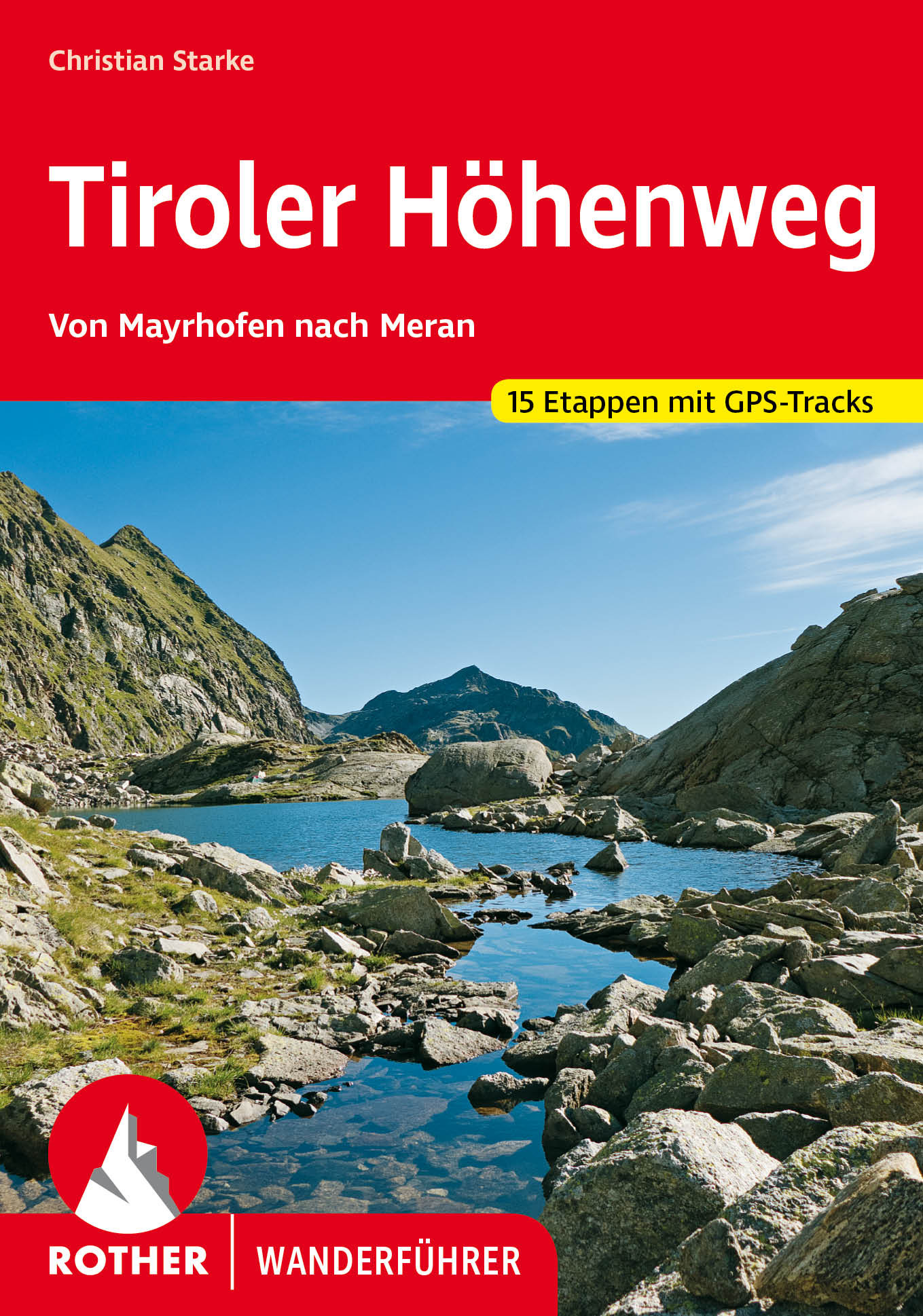
- Wandelgids Tiroler Höhenweg | Rother Bergverlag
- Uitstekende beschrijvingen van deze steeds populairder wordende bergtocht! Goede routebeschrijving, veel praktische informatie, hoogteprofielen en redelike kaartjes. Met alle noodzakelijke info. Zie voor beschrijving de duitse tekst hieronder ... Der Tiroler Höhenweg ist ein hochalpiner Weitwanderweg der Superlative, der in grandioser... Read more
Netherlands
2023

Netherlands
2022
- Wandelgids Munchen - Venetie, München - Venedig | Rother Bergverlag
- Beschrijving van een lange afstand pad dwars door de Alpen van Munchen naar Venetie: goede beschrijvingen van de etappes, kaarten redelijk. Die anspruchsvolle Alpenüberquerung von München nach Venedig verläuft auf einer der interessantesten aller möglichen Routen über das höchste Gebirge Europas. Im Herzen Münchens beginnt die Tour am... Read more
United Kingdom
2021
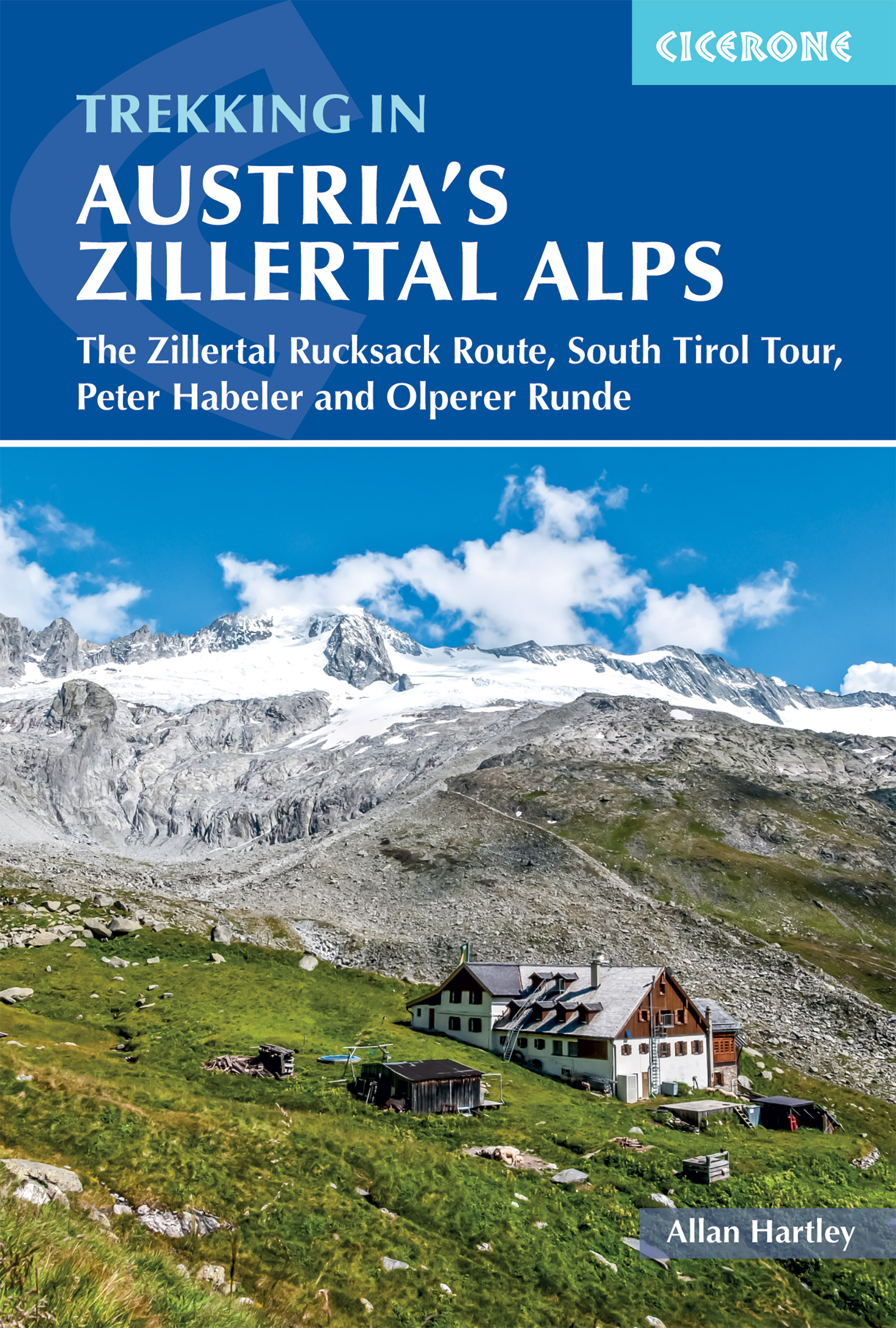
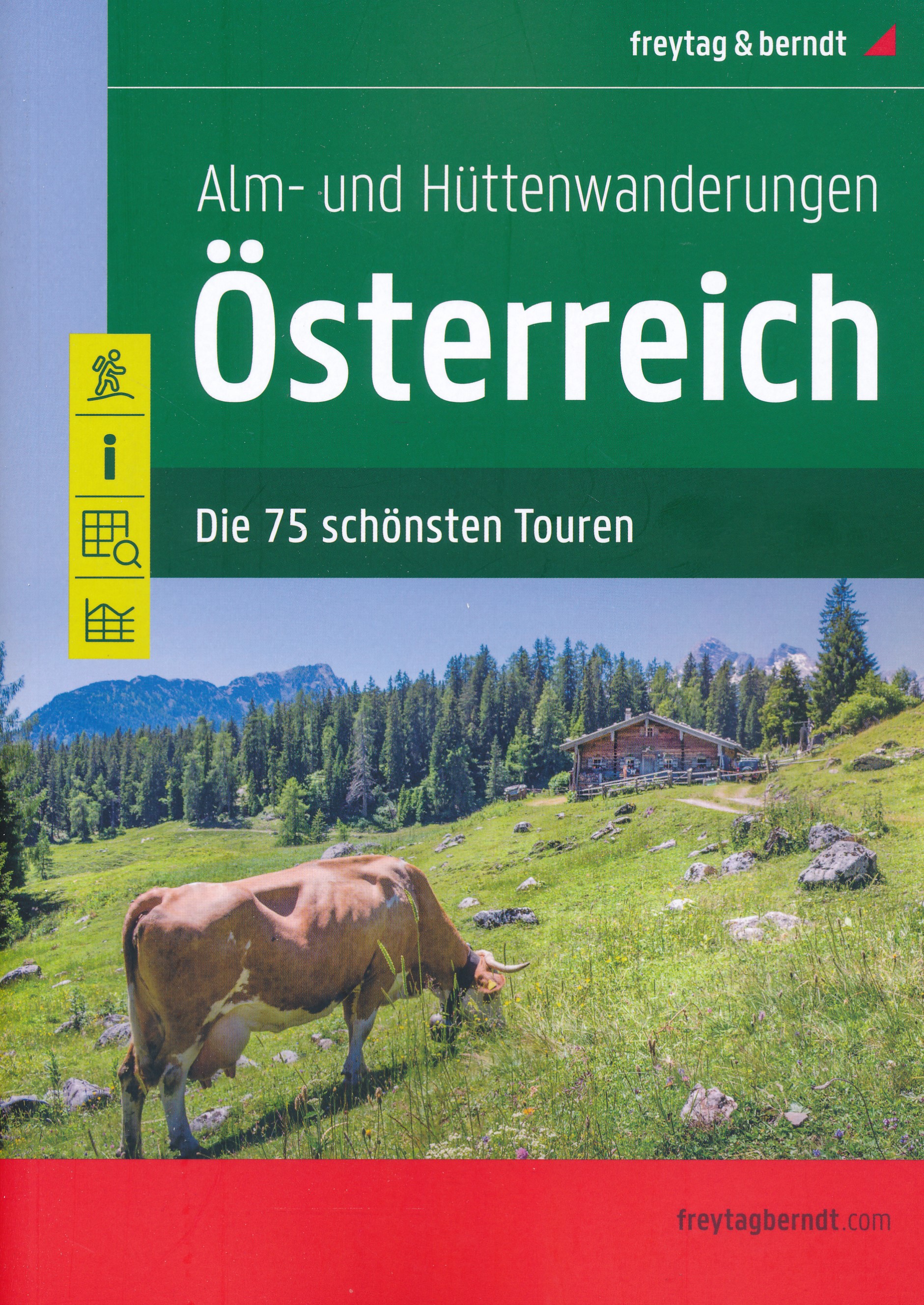
- Austria F&B Alp and Hut-to-Hut Hiking Guide
- A comprehensive guidebook detailing walking routes in Austria. The 101 walks reflect the diversity of this popular region and cover Austria`s magnificent Alps - including the Ratikon, Silvretta, Stubai and Zillertal - as well as the Dachsteingebirge, Hohe Tauern and the Karawanken. Graded according to difficulty and ranging from short walks of... Read more

United Kingdom
2016
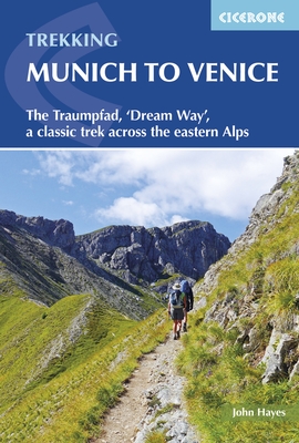
- Trekking Munich to Venice
- The Traumpfad, 'Dream Way', a classic trek across the eastern Alps Read more
- Also available from:
- De Zwerver, Netherlands
- Bol.com, Netherlands
- Bol.com, Belgium
Netherlands
2016
- Wandelgids Munich to Venice, The Traumpfad | Cicerone
- Guidebook to Der Traumpfad, 'Dream Way', through Germany and Italy, 570km from Munich to Venice across some of the best scenery in the Alps. Split into 30 stages, with 5 alternate stages and a day's via ferrata in the Dolomites, the guidebook has full information needed for the trek, including accommodation and points of interest. Read more
Netherlands
2016
- Trekking Munich to Venice
- This guidebook describes the 570km (354 mile) Traumpfad or 'Dream Way', an Alpine trek from Munich's Marienplatz to the Piazza San Marco in Venice. The route is broken into 30 stages of between 5hrs 30mins and 9hrs, graded according to difficulty, with 5 alternative stages and the option to spend a day traversing a section of via ferrata in the... Read more
Belgium
2016
- Trekking Munich to Venice
- This guidebook describes the 570km (354 mile) Traumpfad or 'Dream Way', an Alpine trek from Munich's Marienplatz to the Piazza San Marco in Venice. The route is broken into 30 stages of between 5hrs 30mins and 9hrs, graded according to difficulty, with 5 alternative stages and the option to spend a day traversing a section of via ferrata in the... Read more

Netherlands
2014
- Walking in the Bavarian Alps
- Guidebook describing a both valley and mountain walks and treks in the Bavarian Alps. 85 walks are covered, including graded mountain routes, gentler valley walks, hut-to-hut routes and two multi-day tours, arranged by region with practical information on transport, accommodation and the like. Since the last edition of this guide many of the... Read more
- Also available from:
- Bol.com, Belgium
Belgium
2014
- Walking in the Bavarian Alps
- Guidebook describing a both valley and mountain walks and treks in the Bavarian Alps. 85 walks are covered, including graded mountain routes, gentler valley walks, hut-to-hut routes and two multi-day tours, arranged by region with practical information on transport, accommodation and the like. Since the last edition of this guide many of the... Read more
Karten

United Kingdom
- Dachstein - Ausseerland - Filzmoos - Ramsau Hiking + Leisure Map 1:50 000
- Dachstein - Ausseer Land - Filzmoos - Ramsau - Bad Ischl - Schladming area of the Austrian Alps presented at 1:50,000 in a series of contoured and GPS compatible outdoor leisure map from Freytag & Berndt with hiking and cycling routes, mountain huts, campsites and youth hostels, local bus stops, plus other tourist information. To see the list... Read more
- Also available from:
- Stanfords, United Kingdom

United Kingdom
- Dachstein - Ausseerland - Filzmoos - Ramsau F&B WK281
- Dachstein - Ausseer Land - Filzmoos - Ramsau - Bad Ischl - Schladming area of the Austrian Alps presented at 1:50,000 in a series of contoured and GPS compatible outdoor leisure map from Freytag & Berndt with hiking and cycling routes, mountain huts, campsites and youth hostels, local bus stops, plus other tourist information. To see the list... Read more

United Kingdom
- Also available from:
- Stanfords, United Kingdom

United Kingdom
- Zillertal - Tuxer Alps - Jenbach - Schwaz F&B WK151
- Zillertal - Tuxer Alps - Jenbach – Schwaz - Mayrhofen area of the Austrian Alps presented at 1:50,000 in a series of contoured and GPS compatible outdoor leisure map from Freytag & Berndt with hiking and cycling routes, mountain huts, campsites and youth hostels, local bus stops, plus other tourist information.To see the list of currently... Read more

United Kingdom
- Also available from:
- Stanfords, United Kingdom

United Kingdom
- Carinthian Alps - Gailtal - Gitschtal - Nassfeld - Lesachtal - Weissensee - Upper Drautal F&B WK223
- Naturarena Kärnten - Gailtal - Gitschtal -Lesachtal - Weissensee - Oberes Drautal area of Carinthia presented at 1:50,000 in a series of contoured and GPS compatible outdoor leisure map from Freytag & Berndt with hiking and cycling routes, mountain huts, campsites and youth hostels, local bus stops, plus other tourist information.To see the... Read more

Netherlands
- Wandelkaart 04 Massiccio del Monte Bianco | IGC - Istituto Geografico Centrale
- The Mont Blanc Massif in a series contoured hiking maps at 1:50,000 with local trails, long-distance footpaths, mountain accommodation, etc, from the Turin based Istituto Geografico Centrale. This new edition published in late 2013 highlights, among other routes, the Alta Via 1 and the northern section of the Alta Via 2, both of which join up... Read more
- Also available from:
- Stanfords, United Kingdom

United Kingdom
- Mont Blanc Massif IGC 4
- The Mont Blanc Massif in a series contoured hiking maps at 1:50,000 with local trails, long-distance footpaths, mountain accommodation, etc, from the Turin based Istituto Geografico Centrale. The map highlights, among other routes, the Alta Via 1 and the northern section of the Alta Via 2, both of which join up with TMB, as well as the local... Read more

Netherlands
- Wandelkaart 20 Il Monferrato da Asti a Casale Monferrato | IGC - Istituto Geografico Centrale
- Il Monferrato, map no. 20, in a series contoured hiking maps at 1:50,000 with local trails, long-distance footpaths, mountain accommodation, etc. from the Turin based Istituto Geografico Centrale covering the Italian Alps and Piedmont, the lakes and northern Lombardy, and the Italian Riviera.The maps have contours at 50m intervals, enhanced by... Read more
- Also available from:
- Stanfords, United Kingdom

United Kingdom
- Il Monferrato: Asti - Casale Monferrato 50K IGC Map No. 20
- The Monferrato region of Piedmont east of Turin, between Asti and Casale Monferrato, in a series contoured hiking maps at 1:50,000 with local trails, long-distance footpaths, mountain accommodation, etc. from the Turin based Istituto Geografico Centrale. This title also shows local cycle routes.Maps in this series have contours at 50m... Read more

- Also available from:
- Stanfords, United Kingdom

United Kingdom
- Langhe Meridionali IGC 18
- The southern part of the Langhe region of Piedmont, famous for its wines, cheeses, and truffles, in a series contoured hiking maps at 1:50,000 with local trails, long-distance footpaths, mountain accommodation, etc. from the Turin based Istituto Geografico Centrale.Maps in this series have contours at 50m intervals, enhanced by shading and... Read more
Netherlands
2017
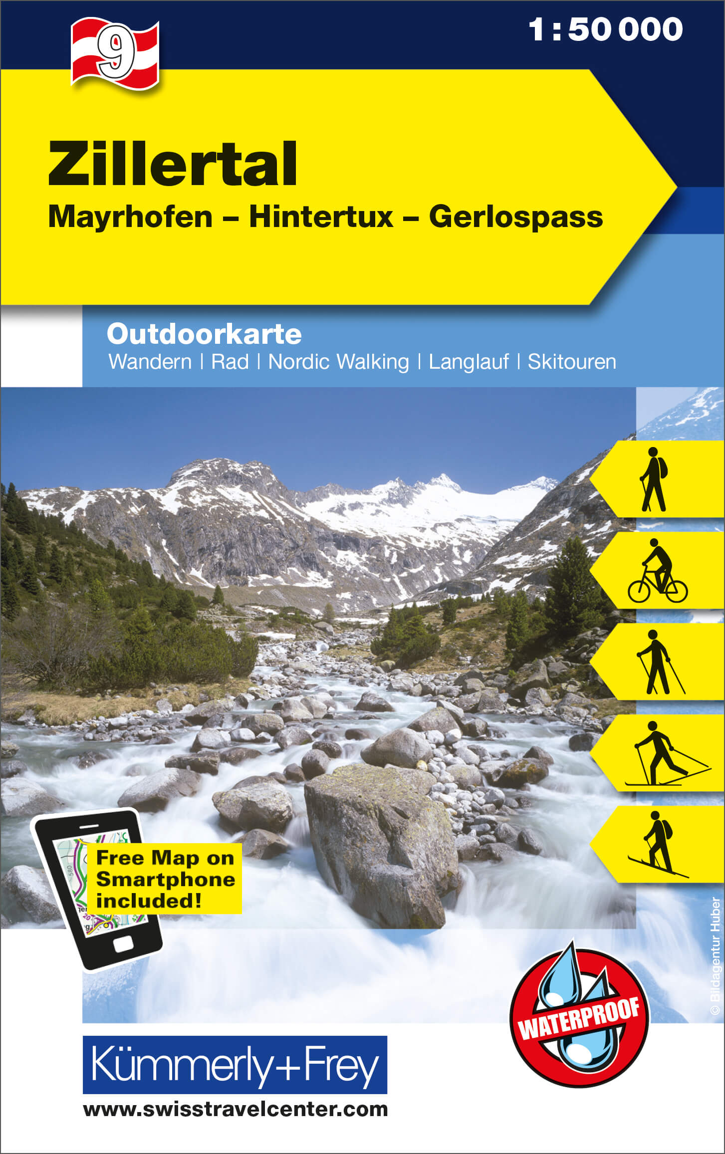
- Wandelkaart 09 Outdoorkarte AT Zillertal | Kümmerly & Frey
- Zillertal - Mayrhofen - Hintertux - Gerlospass area of the Tyrol at 1:35,000 on a GPS compatible, double-sided map from Kümmerly+Frey printed on sturdy, waterproof and tear-resistant synthetic paper; contoured, with hiking, cycling and ski routes, accommodation facilities, locations for other recreational activities, etc.Maps in the K+F... Read more
- Also available from:
- Stanfords, United Kingdom

United Kingdom
2017
- Zillertal - Mayrhofen - Hintertux - Gerlospass K+F Outdoor Map 9
- Zillertal - Mayrhofen - Hintertux - Gerlospass area of the Tyrol at 1:50,000 on a GPS compatible, double-sided map from Kümmerly+Frey printed on sturdy, waterproof and tear-resistant synthetic paper; contoured, with hiking, cycling and ski routes, accommodation facilities, locations for other recreational activities, etc.Maps in the K+F... Read more

Netherlands
- Wandelkaart 05 Cervino Matterhorn e Monte Rosa | IGC - Istituto Geografico Centrale
- Matterhorn/M.Cervino and Monte Rosa, map no. 5, in a series contoured hiking maps at 1:50,000 with local trails, long-distance footpaths, mountain accommodation, etc. from the Turin based Istituto Geografico Centrale covering the Italian Alps and Piedmont, the lakes and northern Lombardy, and the Italian Riviera.The maps have contours at 50m... Read more
- Also available from:
- Stanfords, United Kingdom

United Kingdom
- Matterhorn / M. Cervino - Monte Rosa IGC 5
- The Italian side of the Matterhorn and Monte Rosa, with coverage extending from Zermatt to Aosta, in a series contoured hiking maps at 1:50,000 with local trails, long-distance footpaths, mountain accommodation, etc. from the Turin based Istituto Geografico Centrale. Maps in this series have contours at 50m intervals, enhanced by shading and... Read more

Netherlands
- Wandelkaart 21 Il Canavese da Ivrea a Chivasso | IGC - Istituto Geografico Centrale
- Il Canavese: Ivrea to Chiavasso, map no. 21, in a series contoured hiking maps at 1:50,000 with local trails, long-distance footpaths, mountain accommodation, etc. from the Turin based Istituto Geografico Centrale covering the Italian Alps and Piedmont, the lakes and northern Lombardy, and the Italian Riviera.The maps have contours at 50m... Read more
- Also available from:
- Stanfords, United Kingdom

United Kingdom
- Il Canavese: Ivrea to Chiavasso 50K IGC Map No. 21
- Il Canavesea area including Ivrea and Chiavasso in a series contoured hiking maps at 1:50,000 with local trails, long-distance footpaths, mountain accommodation, etc. from the Turin based Istituto Geografico Centrale. This title also shows cycle routes.Maps in this series have contours at 50m intervals, enhanced by shading and graphic relief.... Read more

Netherlands
- Wandelkaart 07 Valli Maira, grana e stura | IGC - Istituto Geografico Centrale
- Maira, Grana and Stura Valleys, map no. 7, in a series contoured hiking maps at 1:50,000 with local trails, long-distance footpaths, mountain accommodation, etc. from the Turin based Istituto Geografico Centrale covering the Italian Alps and Piedmont, the lakes and northern Lombardy, and the Italian Riviera.The maps have contours at 50m... Read more
- Also available from:
- Stanfords, United Kingdom

United Kingdom
- Maira, Grana and Stura Valleys IGC 7
- Maira, Grana and Stura Valleys in a series contoured hiking maps at 1:50,000 with local trails, long-distance footpaths, mountain accommodation, etc. from the Turin based Istituto Geografico Centrale.Maps in this series have contours at 50m intervals, enhanced by shading and graphic relief. An overprint highlights local footpaths and... Read more
- Also available from:
- Stanfords, United Kingdom

United Kingdom
2021
- Trans-Alpine Crossing - Tegernsee to Venice Kompass 2555
- The 184km long Transalpine Route from the German Alps across the Austrian Tyrol to the Dolomites on a waterproof and tear-resistant, contoured and GPS compatible concertina map from Kompass presenting the route on 13 panels, each 17.5x20cm, plus accommodations recommendations and street plans. Leading from Gmund on lake Tegernsee in Bavaria,... Read more

Netherlands
- Wandelkaart 09 Ivrea, Biella e Bassa Valle d'Aosta | IGC - Istituto Geografico Centrale
- Ivrea - Biela - Lower Aosta Valley, map no. 9, in a series contoured hiking maps at 1:50,000 with local trails, long-distance footpaths, mountain accommodation, etc. from the Turin based Istituto Geografico Centrale covering the Italian Alps and Piedmont, the lakes and northern Lombardy, and the Italian Riviera.The maps have contours at 50m... Read more
- Also available from:
- Stanfords, United Kingdom

United Kingdom
- Ivrea - Biela - Lower Aosta Valley 50K IGC Map No. 9
- Ivrea - Biela - Lower Aosta Valley area in a series contoured hiking maps at 1:50,000 with local trails, long-distance footpaths, mountain accommodation, etc. from the Turin based Istituto Geografico Centrale. Maps in this series have contours at 50m intervals, enhanced by shading and graphic relief. An overprint highlights local footpaths and... Read more

Netherlands
- Wandelkaart 12 Laghi Maggiore, d'Orta e di Varese | IGC - Istituto Geografico Centrale
- Lake Maggiore - Lake Orta - Lake Varase, map no. 12, in a series contoured hiking maps at 1:50,000 with local trails, long-distance footpaths, mountain accommodation, etc. from the Turin based Istituto Geografico Centrale covering the Italian Alps and Piedmont, the lakes and northern Lombardy, and the Italian Riviera.The maps have contours at... Read more

Netherlands
- Wandelkaart 24 Il Cuneese - Cuneo | IGC - Istituto Geografico Centrale
- Il Cuneese, map no. 24, in a series contoured hiking maps at 1:50,000 with local trails, long-distance footpaths, mountain accommodation, etc. from the Turin based Istituto Geografico Centrale covering the Italian Alps and Piedmont, the lakes and northern Lombardy, and the Italian Riviera.The maps have contours at 50m intervals, enhanced by... Read more
- Also available from:
- Stanfords, United Kingdom

United Kingdom
- Il Cuneese: Cuneo - Saluzzo - Carmagnola 75K IGC Map No. 24
- Il Cuneese area of Piedmont, including Cuneo, Saluzzo and Carmagnola, at 1:75,000 in a series contoured hiking maps with local trails, long-distance footpaths, mountain accommodation, etc. from the Turin based Istituto Geografico Centrale. This title also includes an overprint showing cycle routes.Maps in this series have contours at 50m... Read more