
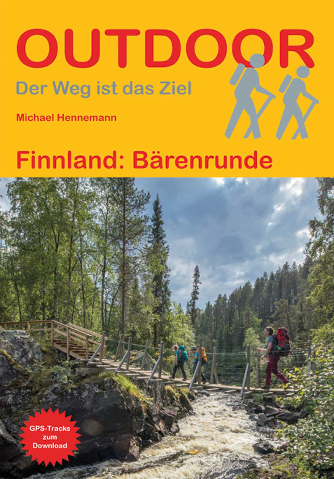
Karhunkierros Trail
Beschreibung
- Name Karhunkierros Trail
- Länge von Wanderweg 80 km, 50 Meilen
- Länge in Tagen 4 Tage
- Traildino Schwierigkeit MW, Mittelschwere Wanderung mit Rucksack
- Schwierigkeitsgrad Berg- und Alpinwanderung T1, Wandern
80 km. Province of Oulu and Lapland, Northern Ostrobothnia Region, Oulanka National Park.
Links
Fakten
Berichte
Führer und Karten
Übernachtung
Organisationen
Reisebüros
GPS
Sonstiges
Bücher
De Zwerver
Netherlands
2020
Netherlands
2020

Stanfords
United Kingdom
United Kingdom
- Cami de l`Ossa - Madriu-Perafita-Claror Valley Editorial Piolet Hiking Map
- The Bear Trail, Camí de l`Óssa, a circular hiking route in Andorra on a contoured and GPS compatible map at 1:15,000 from Editorial Piolet, with eight additional recommended walks from Encamp. The map has contours at 10m intervals enhanced by bold relief shading. The overprint also indicates other waymarked paths, hotels, campsites, mountain... Read more
Karten
- Also available from:
- Stanfords, United Kingdom

Stanfords
United Kingdom
United Kingdom
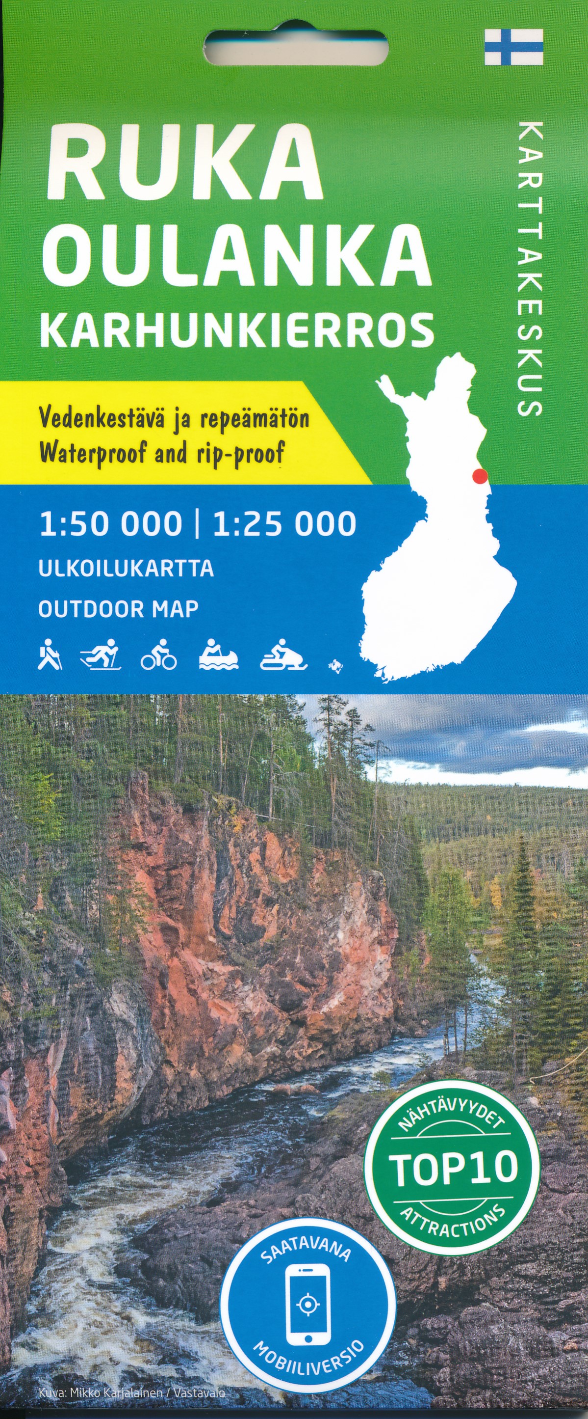
- Ruka - Oulanka Karhunkierros National Park
- Ruka - Oulanka National Park region just south of the Arctic Circle on Finland`s eastern border at 1:50,000 on a double-sided, GPS compatible map from Karttakeskus, the country’s national survey organization, with enlargements for Ruikatunturi area and the Pieni Karhunkierros Bear Trail near Juuma. Contours are at 5m intervals, with colours... Read more
De Zwerver
Netherlands
2021
Netherlands
2021

Stanfords
United Kingdom
United Kingdom
- La Senda de Camille Editorial Alpina
- La Senda de Camille, the Pyrenean Bear Trail, a 104-km circuit in the central Pyrenees, on a contoured GPS compatible map at 1:25,000 from Editorial Alpina, plus a booklet providing information on mountain refuges. The route, which crosses over from the Spanish side to the Parc National des Pyrénées in France and incorporates part of the... Read more