Provence
Beschreibung

The south of France, along the Mediterranean coast, is a popular destination. Many trails cross this varied region.
Karte

Wanderwege Region
- E7GPX
- GR4GPX
- GR42GPX
- GR49GPX
- GR51 - Balcons de la MéditerranéeGPX
- GR510 - Sentier des huit valléesGPX
- GR52 - Vallée des MerveillesGPX
- GR6GPX
- GR63GPX
- GR653 - Via TolosanaGPX
- GR653A - Via AureliaGPX
- GR653D - Voie d’ArlesGPX
- GR9GPX
- GR90GPX
- GR91 - Traversée du VercorsGPX
- GR92GPX
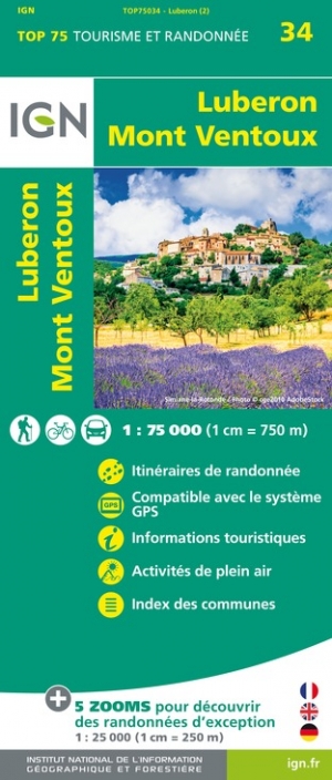
- GR97 - Tour du LuberonGPX
- GR98 - Les CalanquesGPX
- GR99 - Gorges du VerdonGPX
- GR99AGPX
Links
Fakten
Berichte
Führer und Karten
Übernachtung
Organisationen
Reisebüros
GPS
Sonstiges
Bücher


The Book Depository
United Kingdom
United Kingdom
- Where the Wild Winds Are
- Walking Europe's Winds from the Pennines to Provence Read more
- Also available from:
- Stanfords, United Kingdom

Stanfords
United Kingdom
United Kingdom
- Where the Wild Winds Are: Walking Europe`s Winds from the Pennines to Provence Signed Copy
- Signed by the authorShortlisted for the 2018 Edward Stanford Travel Writing Award`s Stanford Dolman Travel Book of the YearNick Hunt sets off on an unlikely quest: to follow four of Europe`s winds across the continent. His wind-walks begin on Cross Fell, the highest point of the Pennines, as he chases the roaring Helm - the only named wind in... Read more

- Also available from:
- De Zwerver, Netherlands
De Zwerver
Netherlands
2022
Netherlands
2022

The Book Depository
United Kingdom
2014
United Kingdom
2014
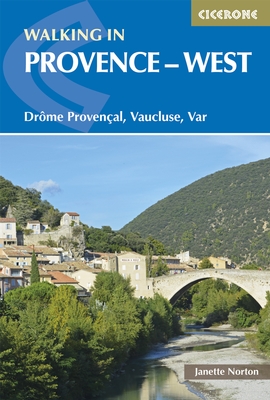
- Walking in Provence - West
- DrAme ProvenAal, Vaucluse, Var Read more
- Also available from:
- De Zwerver, Netherlands
- Stanfords, United Kingdom
De Zwerver
Netherlands
2014
Netherlands
2014
- Wandelgids Walking in Provence - West | Cicerone
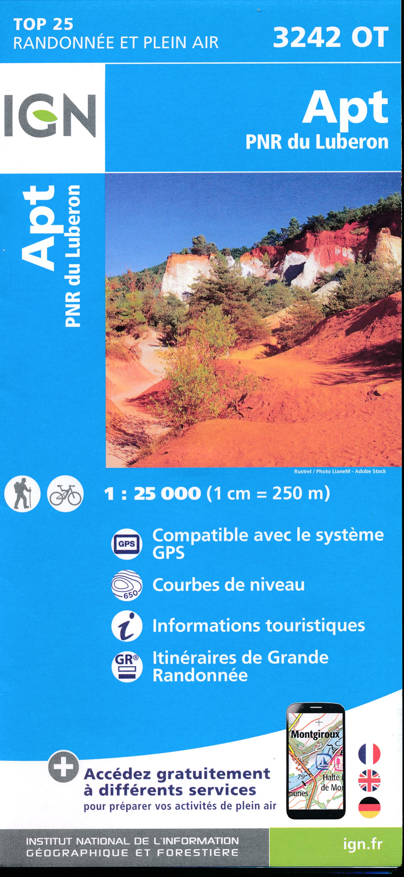
- Guidebook to 30 varied day walks in the west of Provence in the Drôme Provençale, the Vaucluse and the Var, with practical information for the walker. Walks span from the Baronnies in the north to the Ste-Baume ridge in the south and can be tackled from charming bases such as Nyons, Apt and Aix-en-Provence. Read more

Stanfords
United Kingdom
2014
United Kingdom
2014
- Provence - West (Drôme Provençal, Vaucluse, Var) Walking Guide
- Guidebook to a range of 30 varied, graded day walks in the sunny south-east of France in the Drome Provencale, the Vaucluse and the Var regions of Provence.Provence`s lower western regions offer wonderful walking - the vineyards, lavender fields and rolling hills of the Drome Provencale, the historic old towns and castles set in the river... Read more

The Book Depository
United Kingdom
United Kingdom
- The Way of Saint James Along the Via Domitia
- A Travel Guide and a Journey of Love from Oulx to Arles Read more

The Book Depository
United Kingdom
United Kingdom
- Where the Wild Winds Are
- Walking Europe's Winds from the Pennines to Provence Read more
- Also available from:
- De Zwerver, Netherlands


- Also available from:
- De Zwerver, Netherlands
- Stanfords, United Kingdom

Stanfords
United Kingdom
2021
United Kingdom
2021
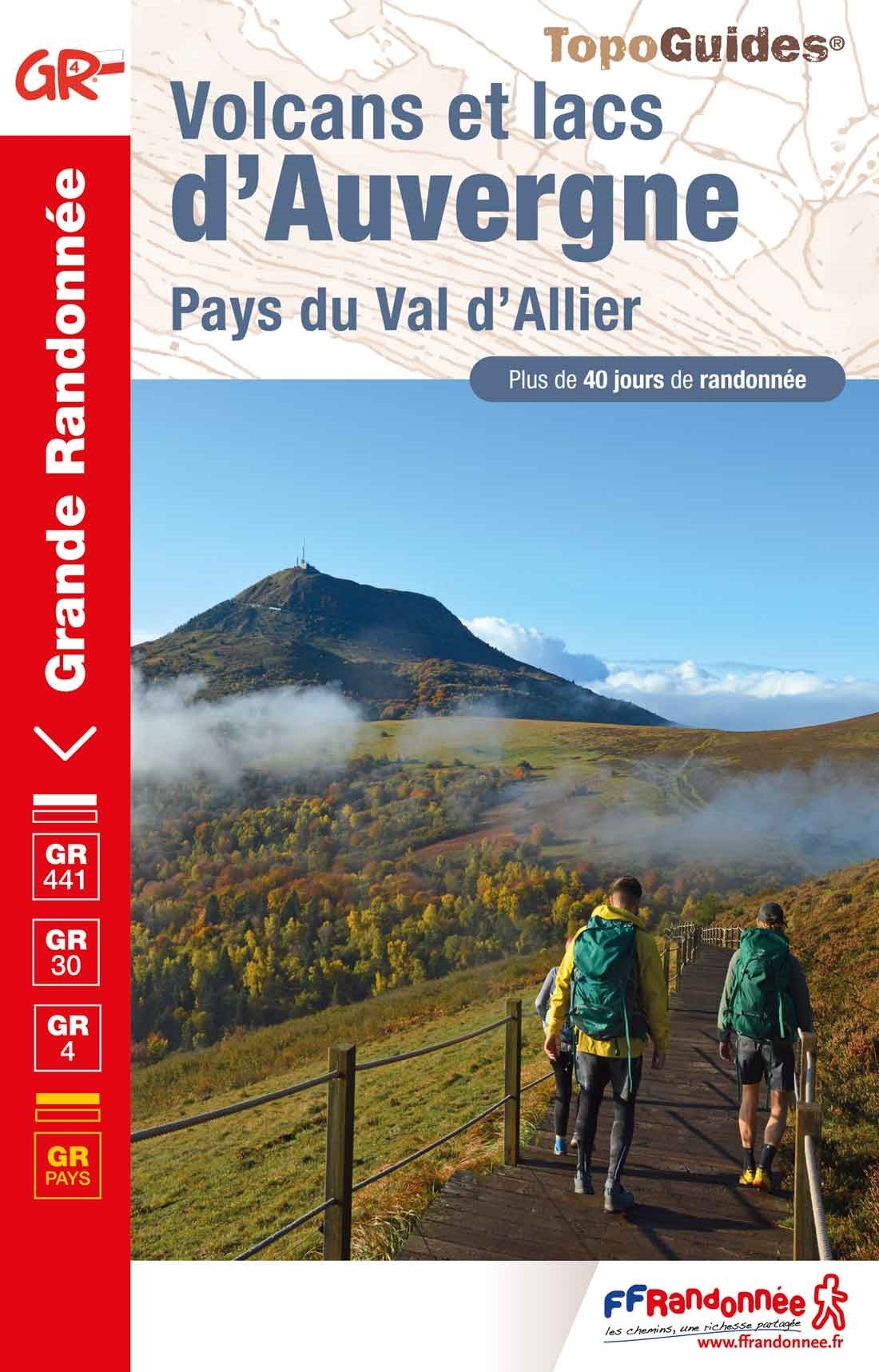
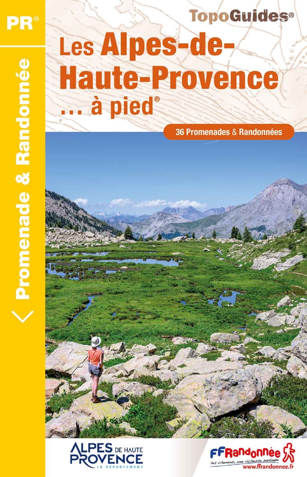
- Les Alpes-de-Haute-Provence a pied
- 36 walks through the Montagne de Lure, the Valensole plateau, the Verdon gorges, the Luberon and Mercantour parks ... Edition 2017Alps (France) Read more

The Book Depository
United Kingdom
2021
United Kingdom
2021
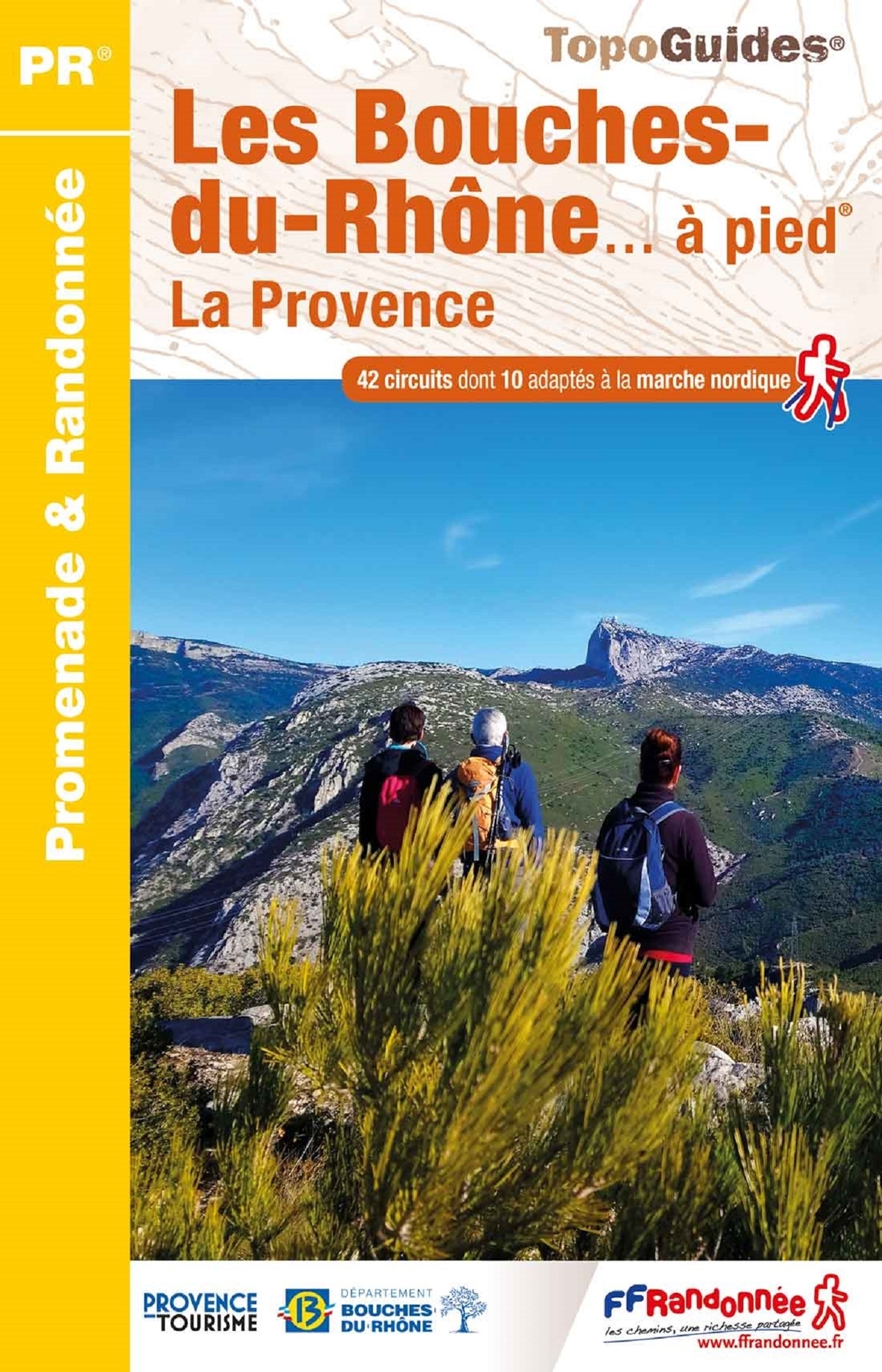
- Bouches-du-Rhone a pied la Provence
- Les Bouche-du-Rhône à pied, FFRP topo-guide Ref. No. D013, with 42 day walks of varying length and difficulty in the Department of Bouche-du-Rhône on the Mediterranean coast of France. Coverage includes walks near Marseille, Aix-les-Provence, the Alpilles chain with St-Rémy-de Provence, Arles, etc. Each walk is presented on a separate colour... Read more
- Also available from:
- De Zwerver, Netherlands
- Stanfords, United Kingdom
De Zwerver
Netherlands
2021
Netherlands
2021
- Wandelgids D013 Les Bouches-du-Rhône a pied | FFRP
- Les Bouche-du-Rhône à pied, FFRP topo-guide Ref. No. D013, with 42 day walks of varying length and difficulty in the Department of Bouche-du-Rhône on the Mediterranean coast of France. Coverage includes walks near Marseille, Aix-les-Provence, the Alpilles chain with St-Rémy-de Provence, Arles, etc. Each walk is presented on a separate colour... Read more

Stanfords
United Kingdom
2021
United Kingdom
2021
- Les Bouches-du-Rhone ... a Pied - La Provence
- Les Bouche-du-Rhône à pied, FFRP topo-guide Ref. No. D013, with 42 day walks of varying length and difficulty in the Department of Bouche-du-Rhône on the Mediterranean coast of France. Coverage includes walks near Marseille, Aix-les-Provence, the Alpilles chain with St-Rémy-de Provence, Arles, etc. Each walk is presented on a separate colour... Read more


- Also available from:
- De Zwerver, Netherlands


The Book Depository
United Kingdom
2021
United Kingdom
2021
The Book Depository
United Kingdom
2022
United Kingdom
2022
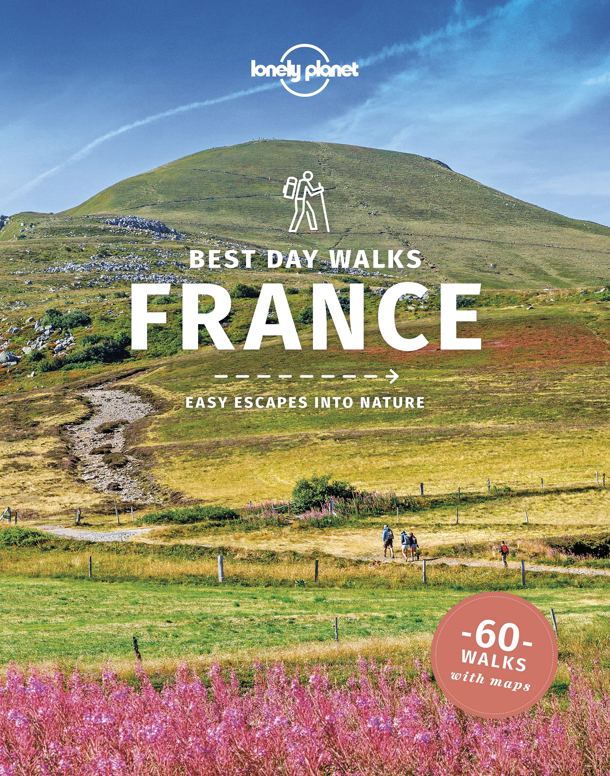
- Lonely Planet Best Day Walks France
- Lonely Planet`s Best Day Walks France is your passport to 60 easy escapes into nature. Stretch your legs away from the city by picking a walk that works for you, from just a couple of hours to a full day, from easy to hard. Explore the Pyrenees, hike the French Alps, and marvel at beautiful Corsica. Inside Lonely Planet`s Best Day Walks... Read more
- Also available from:
- De Zwerver, Netherlands
- Stanfords, United Kingdom

De Zwerver
Netherlands
2022
Netherlands
2022
- Wandelgids Best Day Walks France - Frankrijk | Lonely Planet
- Lonely Planet`s Best Day Walks France is your passport to 60 easy escapes into nature. Stretch your legs away from the city by picking a walk that works for you, from just a couple of hours to a full day, from easy to hard. Explore the Pyrenees, hike the French Alps, and marvel at beautiful Corsica. Inside Lonely Planet`s Best Day Walks... Read more
Stanfords
United Kingdom
2022
United Kingdom
2022
- Lonely Planet Best Day Walks France
- Lonely Planet`s Best Day Walks France is your passport to 60 easy escapes into nature. Stretch your legs away from the city by picking a walk that works for you, from just a couple of hours to a full day, from easy to hard. Explore the Pyrenees, hike the French Alps, and marvel at beautiful Corsica. Inside Lonely Planet`s Best Day Walks... Read more

The Book Depository
United Kingdom
2023
United Kingdom
2023
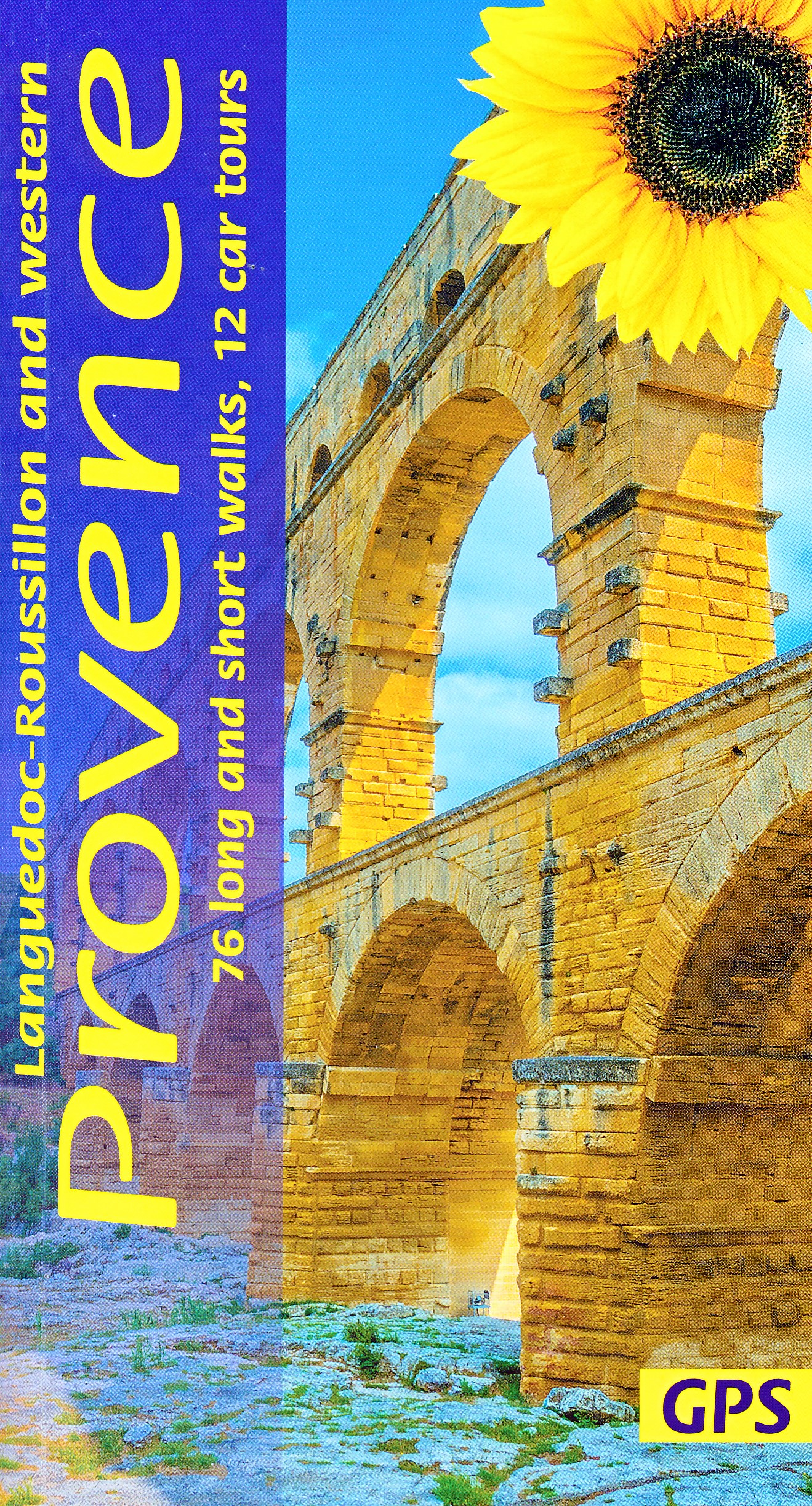
- Western Provence Sunflower Walking Guide
- 76 long and short walks, 12 car tours Read more
- Also available from:
- De Zwerver, Netherlands
De Zwerver
Netherlands
2023
Netherlands
2023
- Reisgids - Wandelgids Languedoc-Roussillon and Western Provence | Sunflower books
- 76 long and short walks, 12 car tours Read more
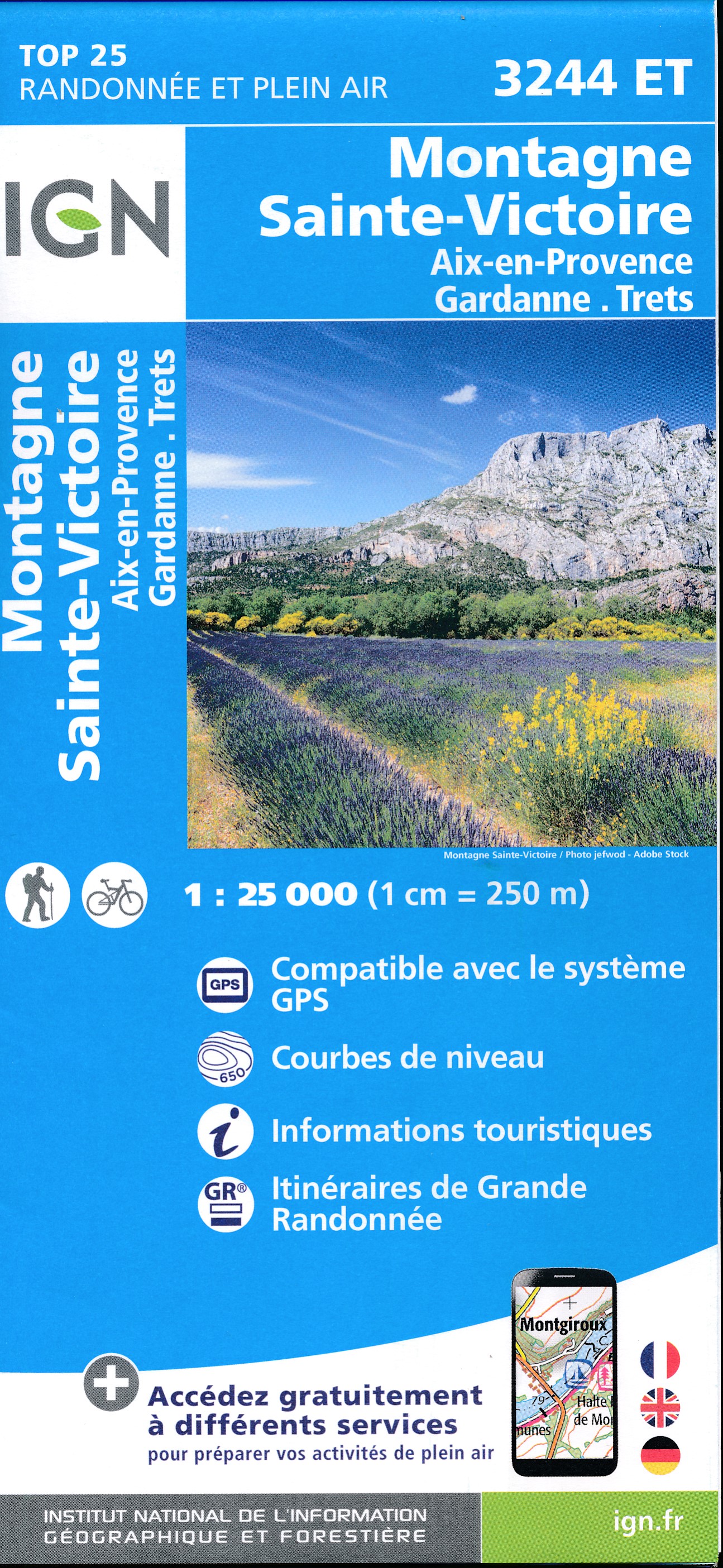
Karten

- Also available from:
- De Zwerver, Netherlands

The Book Depository
United Kingdom
United Kingdom
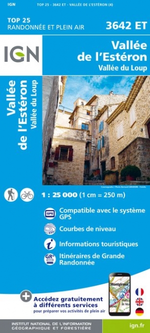
- Vallee de l'Esteron / Vallee du Loup 2018
- De wandelkaart die de perfectie benadert! Werkelijk alle topografische details zijn er op te vinden; van hoogtelijnen tot aan bruggetjes en allerlei wandelpaden. Daarnaast hebben de makers een flinke dosis toeristische informatie op de kaart verwerkt: campings, gites d étape; restaurants en ingetekende doorgaande wandelpaden, de grandes... Read more
- Also available from:
- De Zwerver, Netherlands
De Zwerver
Netherlands
Netherlands
- Wandelkaart - Topografische kaart 3642ET Vallée de l'Esteron | IGN - Institut Géographique National
- De wandelkaart die de perfectie benadert! Werkelijk alle topografische details zijn er op te vinden; van hoogtelijnen tot aan bruggetjes en allerlei wandelpaden. Daarnaast hebben de makers een flinke dosis toeristische informatie op de kaart verwerkt: campings, gites d étape; restaurants en ingetekende doorgaande wandelpaden, de grandes... Read more

- Also available from:
- De Zwerver, Netherlands


- Also available from:
- De Zwerver, Netherlands

The Book Depository
United Kingdom
United Kingdom
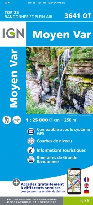
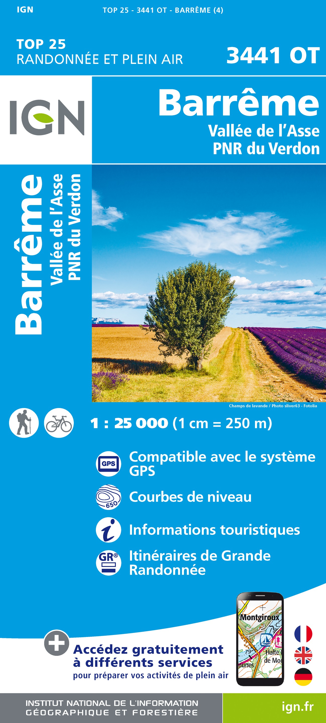
- Barreme / Vallee de l'Asse / PNR du Verdon
- Topographic survey of France at 1:25,000 in IGN`s excellent TOP25 / Série Bleue series. All the maps are GPS compatible, with a 1km UTM grid plus latitude and longitude lines at 5’ intervals. Contours are at 5m intervals except for mountainous areas where the maps have contours at 10m intervals, vividly enhanced by hill shading and graphics for... Read more
- Also available from:
- De Zwerver, Netherlands
De Zwerver
Netherlands
Netherlands
- Wandelkaart - Topografische kaart 3441OT Barrême | IGN - Institut Géographique National
- Topographic survey of France at 1:25,000 in IGN`s excellent TOP25 / Série Bleue series. All the maps are GPS compatible, with a 1km UTM grid plus latitude and longitude lines at 5’ intervals. Contours are at 5m intervals except for mountainous areas where the maps have contours at 10m intervals, vividly enhanced by hill shading and graphics for... Read more

- Also available from:
- De Zwerver, Netherlands

- Also available from:
- De Zwerver, Netherlands

The Book Depository
United Kingdom
United Kingdom
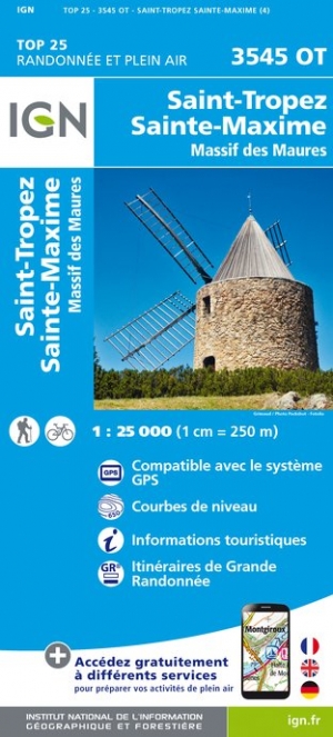
- St-Tropez / Ste-Maxime / Massif des Maures
- Topographic survey of France at 1:25,000 in IGN`s excellent TOP25 / S�rie Bleue series. All the maps are GPS compatible, with a 1km UTM grid plus latitude and longitude lines at 5� intervals. Contours are at 5m intervals except for mountainous areas where the maps have contours at 10m intervals, vividly enhanced by hill shading and graphics for ... Read more
- Also available from:
- De Zwerver, Netherlands
De Zwerver
Netherlands
Netherlands
- Wandelkaart - Topografische kaart 3545OT Saint-Tropez - Sainte-Maxime | IGN - Institut Géographique National
- Topographic survey of France at 1:25,000 in IGN`s excellent TOP25 / S�rie Bleue series. All the maps are GPS compatible, with a 1km UTM grid plus latitude and longitude lines at 5� intervals. Contours are at 5m intervals except for mountainous areas where the maps have contours at 10m intervals, vividly enhanced by hill shading and graphics for ... Read more

- Also available from:
- De Zwerver, Netherlands

- Also available from:
- De Zwerver, Netherlands
- Also available from:
- De Zwerver, Netherlands


- Also available from:
- De Zwerver, Netherlands

- Also available from:
- De Zwerver, Netherlands

The Book Depository
United Kingdom
United Kingdom
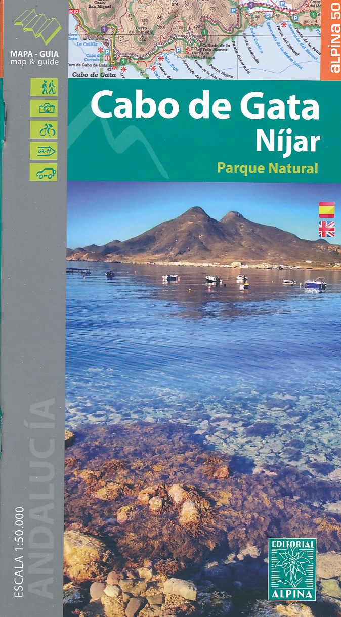
- Cabo de Gata / Nijar
- Gedetailleerde wandelkaart van een interessant wandelgebied. Uitstekend leesbaar, inhoudelijk een goede kaart met allerhande informatie op topografische basis waarbij wandelroutes, campings en hutten. Bij een aantal Alpina kaarten is een boekje bijgevoegd met routes. Door de toevoeging van gradengrid is deze kaart bruikbaar voor GPS. Cabo da... Read more
- Also available from:
- De Zwerver, Netherlands
De Zwerver
Netherlands
Netherlands
- Wandelkaart Cabo de Gata - Nijar | Editorial Alpina
- Gedetailleerde wandelkaart van een interessant wandelgebied. Uitstekend leesbaar, inhoudelijk een goede kaart met allerhande informatie op topografische basis waarbij wandelroutes, campings en hutten. Bij een aantal Alpina kaarten is een boekje bijgevoegd met routes. Door de toevoeging van gradengrid is deze kaart bruikbaar voor GPS. Cabo da... Read more

- Also available from:
- De Zwerver, Netherlands