
Tarn
Beschreibung
- Zugängliche Orte Department and river in the south of France.
Wanderwege Region
Links
Fakten
Berichte
Führer und Karten
Übernachtung
Organisationen
Reisebüros
GPS
Sonstiges
Bücher

- Also available from:
- De Zwerver, Netherlands
- Stanfords, United Kingdom
Stanfords
United Kingdom
2016
United Kingdom
2016
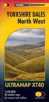
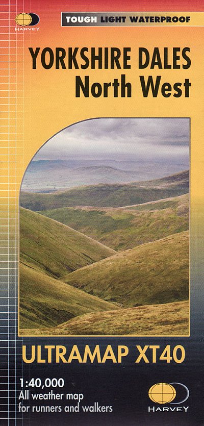
- Yorkshire Dales North West Harvey Ultramap XT40
- The north-western part of the Yorkshire Dales at 1:40,000 on a waterproof and tear-resistant, pocket-size Ultramap from Harvey Map Services with the same cartography as their Superwalker map of this area. Coverage extends from Kirkby Stephen southwards beyond Hawes in the upper part of Wensleydale to the Great Knoutberry Hill, and includes The... Read more

The Book Depository
United Kingdom
United Kingdom
- Walk Ambleside, Rydal & Grasmere
- 21 Walks around and above Ambleside Read more
- Also available from:
- Stanfords, United Kingdom

Stanfords
United Kingdom
United Kingdom
- Walk Ambleside, Rydal & Grasmere: 21 Walks around and above Ambleside
- Walk Ambleside, Rydal and Grasmere is a practical walking guidebook to twenty one walks in the Lake District around and above Ambleside, Waterhead, Rydal and Grasmere.Including all the classic high tops, the low fells and easy valley walks around lake, wood, waterfall and tarn, each walk is presented on a double page spread with clear... Read more

- Also available from:
- Stanfords, United Kingdom

Stanfords
United Kingdom
United Kingdom
- Lake District a Dog Walker`s Guide
- There`s nowhere in the country to compare with the Lake District and now dogs and their owners can enjoy walking across this dramatic landscape with 20 stimulating circular walks chosen and researched specifically for dog walkers. The routes are mainly off-road, with easily passed stiles and avoiding grazing live-stock wherever possible, or... Read more

- Also available from:
- De Zwerver, Netherlands
- Stanfords, United Kingdom
De Zwerver
Netherlands
Netherlands

Stanfords
United Kingdom
United Kingdom
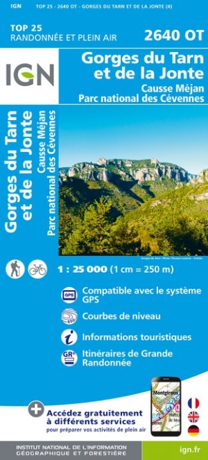
- Gorges du Tarn et de la Jonte - Causse Mejan - PN des Cevennes IGN 2640OT
- Topographic survey of France at 1:25,000 in IGN`s excellent TOP25 / Série Bleue series. All the maps are GPS compatible, with a 1km UTM grid plus latitude and longitude lines at 5’ intervals. Contours are at 5m intervals except for mountainous areas where the maps have contours at 10m intervals, vividly enhanced by hill shading and graphics for... Read more

The Book Depository
United Kingdom
2014
United Kingdom
2014
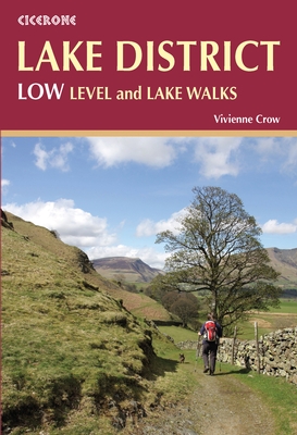
- Lake District: Low Level and Lake Walks
- Walking in the Lake District - Windermere, Grasmere and more Read more
- Also available from:
- De Zwerver, Netherlands
- Stanfords, United Kingdom
De Zwerver
Netherlands
2018
Netherlands
2018
- Wandelgids Lake District: Low Level and Lake Walks | Cicerone
- This guidebook describes 30 of the best low-level walks in the Lake District. From delightful wooded glades and sparkling tarns, to waterfalls and glacier-carved valleys towered over by craggy mountains. The walks described aim to seek out the best walking that the lower areas of the Lake District have to offer. Read more

Stanfords
United Kingdom
2014
United Kingdom
2014
- Lake District: Low Level and Lake Walks
- This guidebook offers 30 delightful but low-level graded day walks in the valleys, beside the lakes and on the low fells of the English Lake District, suitable for walkers of all abilities. Walkers who know the Lakes well may have missed some of the lower gems covered here and the gentler charms of the dales, woodlands and lakeside paths;... Read more
De Zwerver
Netherlands
2011
Netherlands
2011
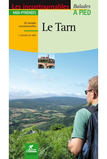
- Wandelgids le Tarn | Chamina
- Franstalige wandelgids (met Ned. woordenlijst) met gedetailleerde kaarten, routebeschrijvingen en wetenswaardigheden. Fraai geillustreerd. Le territoire concerné Couverture harmonieuse de tout le département, de l’Albigeois (Albi est classée Patrimoine Mondial de l’Unesco depuis août 2010), aux monts de Lacaune en passant par la Montagne Noire,... Read more
De Zwerver
Netherlands
2021
Netherlands
2021
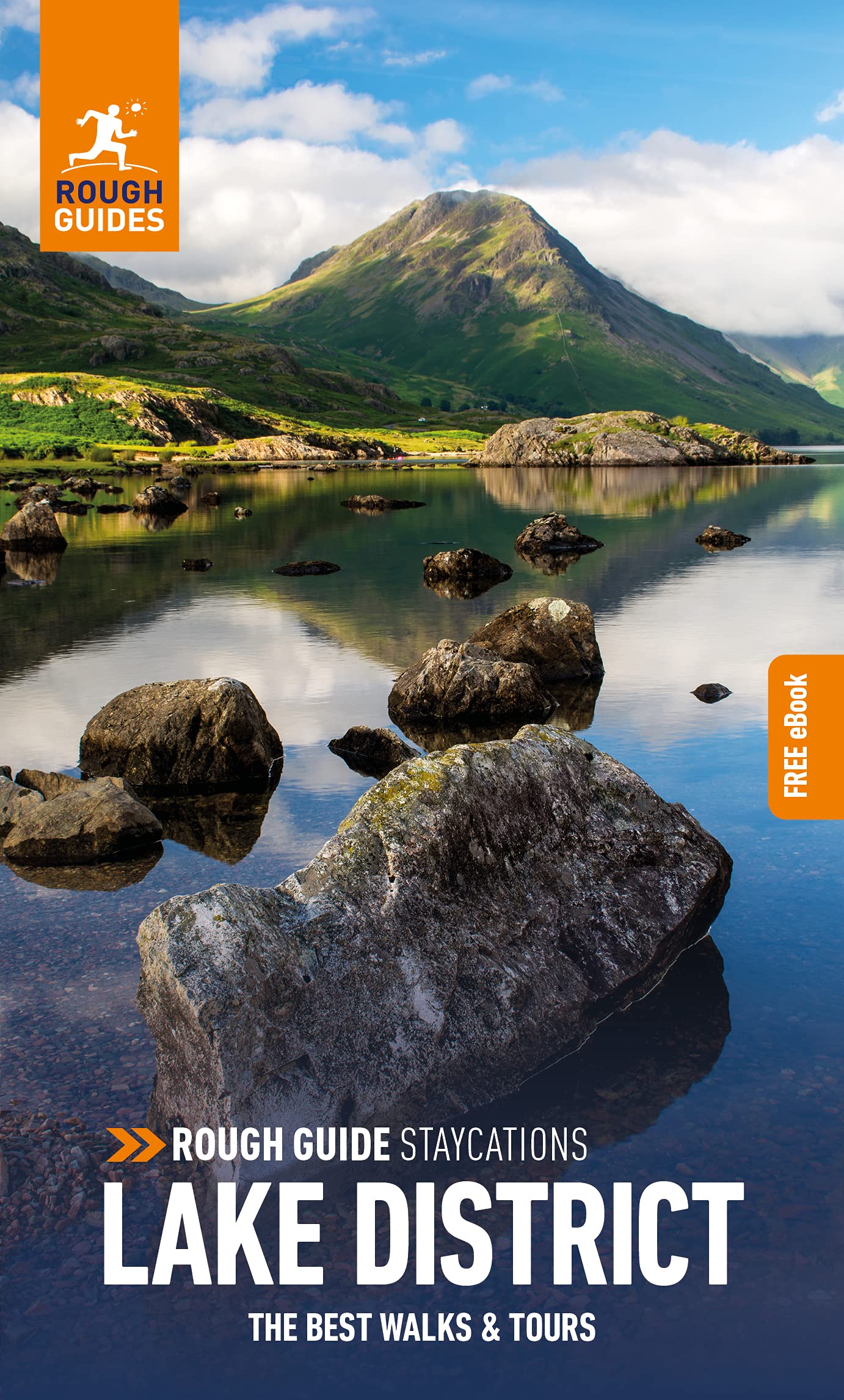
- Reisgids Lake District | Rough Guides
- Rough Guides Staycations Lake District Make the most of your time on Earth with the ultimate travel guides.Inspirational and informative new pocket guide, with free eBook, making the most of holidaying at home in the UK through clearly laid-out walks and tours. Explore the best of the Lake District with this unique travel guide, packed full of... Read more
- Also available from:
- Stanfords, United Kingdom

Stanfords
United Kingdom
2021
United Kingdom
2021
- Pocket Rough Guide Staycations Lake District (Travel Guide with Free eBook)
- Rough Guides Staycations Lake District Make the most of your time on Earth with the ultimate travel guides.Inspirational and informative new pocket guide, with free eBook, making the most of holidaying at home in the UK through clearly laid-out walks and tours. Explore the best of the Lake District with this unique travel guide, packed full of... Read more
De Zwerver
Netherlands
2014
Netherlands
2014
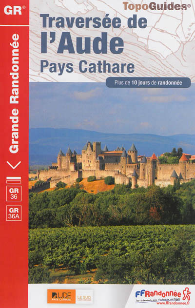
- Wandelgids 360 Traversée de l'Aude - Pays Cathare GR36 - GR36A | FFRP
- Guide FFRandonnée Traversée de l'Aude - Pays Cathare - 360 - GR36 , 36A150 km de sentiers au cœur de l'Occitanie, à la rencontre des richesses naturelles et patrimoniales de l'Aude, Pays Cathare.Cheminant de la Normandie à l'Espagne, le GR® 36 traverse l'Aude de part en part, du nord au sud. Frais ombrages du Canal du Midi, Cité médiévale de... Read more
- Also available from:
- Stanfords, United Kingdom

Stanfords
United Kingdom
2014
United Kingdom
2014
- GR36/36A: Traversée de l`Aude - Pays Cathare FFRP Topo-guide No. 360
- Traversée de l`Aude - Pays Cathare, FFRP topoguide Ref. No.360, covering the 150km long GR360 across the department of Aude in south-western France from the Montaigne Noire via Carcassonne to St-Paul-de-Fenouillet in the Pyrenees. Several variants from the southern half of the route offer possibilities for shorter local tours. Current edition... Read more
- Also available from:
- Stanfords, United Kingdom

Stanfords
United Kingdom
2016
United Kingdom
2016
- Yorkshire Dales North West Harvey Superwalker XT25
- The north-western part of the Yorkshire Dales at 1:25,000 on a light, waterproof and tear-resistant map from Harvey Map Services in their Superwalker series. Coverage extends from Kirkby Stephen southwards beyond Hawes in the upper part of Wensleydale to the Great Knoutberry Hill, and includes The Calf, West and East Baugh Fell, Tarn Rigg Hill,... Read more
De Zwerver
Netherlands
Netherlands
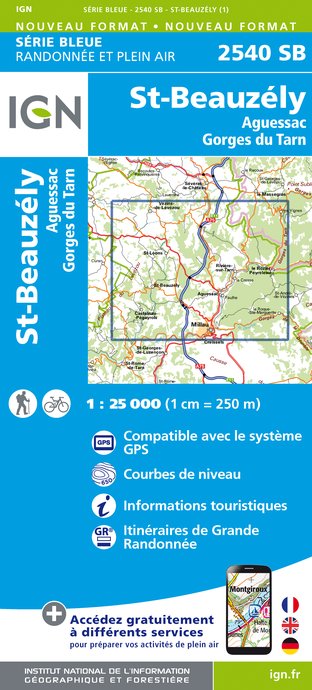
- Wandelkaart - Topografische kaart 2540SB St-Beauzély, Aguessac, Gorges-du-Tarn | IGN - Institut Géographique National
- L'indispensable carte de randonnée IGN aux alentours de Saint-Beauzély - Aguessac - Gorges du Tarn. A conserver dans son sac à dos. Read more
- Also available from:
- Stanfords, United Kingdom

Stanfords
United Kingdom
United Kingdom
- St-Beauzely - Aguessac - Gorges du Tarn IGN 25K Série Bleue Map 2540SB
- Topographic survey of France at 1:25,000 in IGN`s excellent TOP25 / Série Bleue series. All the maps are GPS compatible, with a 1km UTM grid plus latitude and longitude lines at 5’ intervals. Contours are at 5m intervals except for mountainous areas where the maps have contours at 10m intervals, vividly enhanced by hill shading and graphics for... Read more

Stanfords
United Kingdom
2012
United Kingdom
2012
- GR62B/GR36/GR46 Le Chemin de Conques à Toulouse FFRP Topo-guide No. 3646
- Le Chemin de Conques à Toulouse, FFRP topoguide Ref. no. 3646, covering 563kms of various GR routes in the region of Quercy and the Gorges of the Aveyron between Conques and Cahors in the north and Toulouse and Albi in the south: le Chemin de Conques à Toulouse along the GR62B, 36 and 46; GR 36 from Cahors to Albi; GR46 along the Gorges of the... Read more

Stanfords
United Kingdom
United Kingdom
- Top 10 Walks to the Tarns in the Lake District
- The new revised edition of this popular guide gives walkers ten of the finest walks to small upland lakes or tarns in the Lake District National Park, in a popular pocketable format. With clear information, an overview and introduction for each walk, expertly written numbered directions, large scale Ordnance Survey maps, superb eye-grabbing... Read more
Karten

- Also available from:
- Stanfords, United Kingdom

Stanfords
United Kingdom
United Kingdom
- Gorges du Tarn et de la Jonte - Causse Mejan - PN des Cevennes IGN WATERPROOF 2640OTR
- Topographic survey of France at 1:25,000 in IGN`s excellent TOP25 / Série Bleue series. All the maps are GPS compatible, with a 1km UTM grid plus latitude and longitude lines at 5’ intervals. Contours are at 5m intervals except for mountainous areas where the maps have contours at 10m intervals, vividly enhanced by hill shading and graphics for... Read more

- Also available from:
- De Zwerver, Netherlands
- Stanfords, United Kingdom
De Zwerver
Netherlands
Netherlands

Stanfords
United Kingdom
United Kingdom
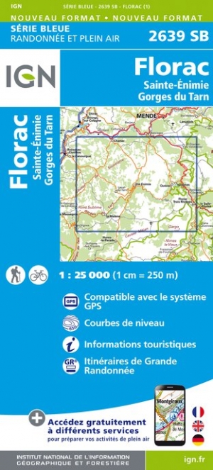
- Florac - Sainte-Enimie - Gorges du Tarn IGN 2639SB
- Topographic survey of France at 1:25,000 in IGN`s excellent TOP25 / Série Bleue series. All the maps are GPS compatible, with a 1km UTM grid plus latitude and longitude lines at 5’ intervals. Contours are at 5m intervals except for mountainous areas where the maps have contours at 10m intervals, vividly enhanced by hill shading and graphics for... Read more
De Zwerver
Netherlands
2024
Netherlands
2024


Stanfords
United Kingdom
United Kingdom
- Appleby-in-Westmorland 1860-1866
- Map No. 91, Appleby-in-Westmorland 1860-1866, in the Cassini Historical Series of old Ordnance Survey mapping of England and Wales at 1:50,000 in a format designed to offer a convenient comparison with the present day coverage from the OS, and most locations in three different editions. Old historical maps have been combined so that the sheet... Read more
Stanfords
United Kingdom
United Kingdom
- Wensleydale and Upper Wharfedale 1924-1925
- Map No. 98, Wensleydale and Upper Wharfedale 1924-1925, in the Cassini Historical Series of old Ordnance Survey mapping of England and Wales at 1:50,000 in a format designed to offer a convenient comparison with the present day coverage from the OS, and most locations in three different editions. Old historical maps have been combined so that... Read more
Stanfords
United Kingdom
United Kingdom
- Appleby-in-Westmorland 1925
- Map No. 91, Appleby-in-Westmorland 1925, in the Cassini Historical Series of old Ordnance Survey mapping of England and Wales at 1:50,000 in a format designed to offer a convenient comparison with the present day coverage from the OS, and most locations in three different editions. Old historical maps have been combined so that the sheet lines... Read more

Stanfords
United Kingdom
United Kingdom
- Wensleydale and Upper Wharfedale 1903-1904
- Map No. 98, Wensleydale and Upper Wharfedale 1903-1904, in the Cassini Historical Series of old Ordnance Survey mapping of England and Wales at 1:50,000 in a format designed to offer a convenient comparison with the present day coverage from the OS, and most locations in three different editions. Old historical maps have been combined so that... Read more
Stanfords
United Kingdom
United Kingdom
- Appleby-in-Westmorland 1903-1904
- Map No. 91, Appleby-in-Westmorland 1903-1904, in the Cassini Historical Series of old Ordnance Survey mapping of England and Wales at 1:50,000 in a format designed to offer a convenient comparison with the present day coverage from the OS, and most locations in three different editions. Old historical maps have been combined so that the sheet... Read more

Stanfords
United Kingdom
United Kingdom
- Appleby-in-Westmorland 1860-1925 (3-map set)
- Map No. 91, Appleby-in-Westmorland 1860-1925 (3-map set), in the Cassini Historical Series of old Ordnance Survey mapping of England and Wales at 1:50,000 in a format designed to offer a convenient comparison with the present day coverage from the OS, and most locations in three different editions. Old historical maps have been combined so that... Read more
Stanfords
United Kingdom
United Kingdom
- Wensleydale and Upper Wharfedale 1852-1925 (3-map set)
- Map No. 98, Wensleydale and Upper Wharfedale 1852-1925 (3-map set), in the Cassini Historical Series of old Ordnance Survey mapping of England and Wales at 1:50,000 in a format designed to offer a convenient comparison with the present day coverage from the OS, and most locations in three different editions. Old historical maps have been... Read more