
Val d'Aosta
Beschreibung
Karte

Links
Fakten
Berichte
Führer und Karten
Übernachtung
Organisationen
Reisebüros
GPS
Sonstiges
Bücher

The Book Depository
United Kingdom
2022
United Kingdom
2022
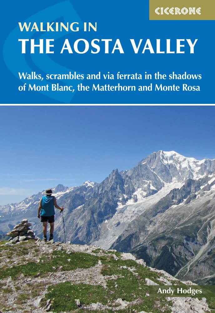
- Walking in the Aosta Valley
- Walks and scrambles in the shadows of Mont Blanc, the Matterhorn and Monte Rosa Read more
- Also available from:
- De Zwerver, Netherlands
- Stanfords, United Kingdom
De Zwerver
Netherlands
2022
Netherlands
2022
- Wandelgids Walking in the Aosta Valley | Cicerone
- A stunning, autonomous region in the Italian Alps, the Aosta valley is a walker`s paradise. This guidebook describes 32 varied and scenic routes both within the main valley and those to the north (including the Lys valley, Valpelline, Valtournenche and Grand St Bernard). The routes vary in difficulty and distance, offering something for walkers... Read more

Stanfords
United Kingdom
2022
United Kingdom
2022
- Walking in the Aosta Valley: Walks and scrambles in the shadows of Mont Blanc, the Matterhorn and Monte Rosa
- A stunning, autonomous region in the Italian Alps, the Aosta valley is a walker`s paradise. This guidebook describes 32 varied and scenic routes both within the main valley and those to the north (including the Lys valley, Valpelline, Valtournenche and Grand St Bernard). The routes vary in difficulty and distance, offering something for walkers... Read more

Bol.com
Netherlands
Netherlands
- Alps Mountain Biking
- Alps Mountain Biking is a guide to the western Alps. It reveals epic rocky descents, high-altitude blasts and hidden Alpine singletrack, all set against a backdrop of snowy peaks, pine forests and clear blue skies. This is some of the greatest singletrack, enduro and downhill riding the mountains have to offer. Featuring the Alpine hot spots... Read more
- Also available from:
- Bol.com, Belgium
Bol.com
Belgium
Belgium
- Alps Mountain Biking
- Alps Mountain Biking is a guide to the western Alps. It reveals epic rocky descents, high-altitude blasts and hidden Alpine singletrack, all set against a backdrop of snowy peaks, pine forests and clear blue skies. This is some of the greatest singletrack, enduro and downhill riding the mountains have to offer. Featuring the Alpine hot spots... Read more

The Book Depository
United Kingdom
2018
United Kingdom
2018
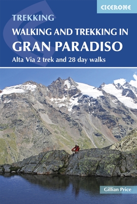
- Walking and Trekking in the Gran Paradiso
- Alta Via 2 trek and 28 day walks Read more
- Also available from:
- Stanfords, United Kingdom
- Bol.com, Netherlands
- Bol.com, Belgium

Stanfords
United Kingdom
2018
United Kingdom
2018
- Walking and Trekking in the Gran Paradiso: Alta Via 2 Trek and 28 Day Walks
- A guidebook to walking in the Gran Paradiso National Park in the Italian Alps, describing the 12-stage Alta Via 2 trek between Courmayeur and Chardonnay, and 28 walks ranging from 2 to 33km, as well as suggestions for combining routes into long-distance hikes. The Gran Paradiso sits in the Valle d`Aosta, in northwestern Italy, a region verging... Read more
Bol.com
Netherlands
2018
Netherlands
2018
- Walking and Trekking in the Gran Paradiso
- A guidebook to walking in the Gran Paradiso National Park in the Italian Alps, describing the 12-stage Alta Via 2 trek between Courmayeur and Chardonnay, and 28 walks ranging from 2 to 33km, as well as suggestions for combining routes into long-distance hikes. The Gran Paradiso sits in the Valle d'Aosta, in northwestern Italy, a region verging... Read more
Bol.com
Belgium
2018
Belgium
2018
- Walking and Trekking in the Gran Paradiso
- A guidebook to walking in the Gran Paradiso National Park in the Italian Alps, describing the 12-stage Alta Via 2 trek between Courmayeur and Chardonnay, and 28 walks ranging from 2 to 33km, as well as suggestions for combining routes into long-distance hikes. The Gran Paradiso sits in the Valle d'Aosta, in northwestern Italy, a region verging... Read more
Bol.com
Netherlands
Netherlands
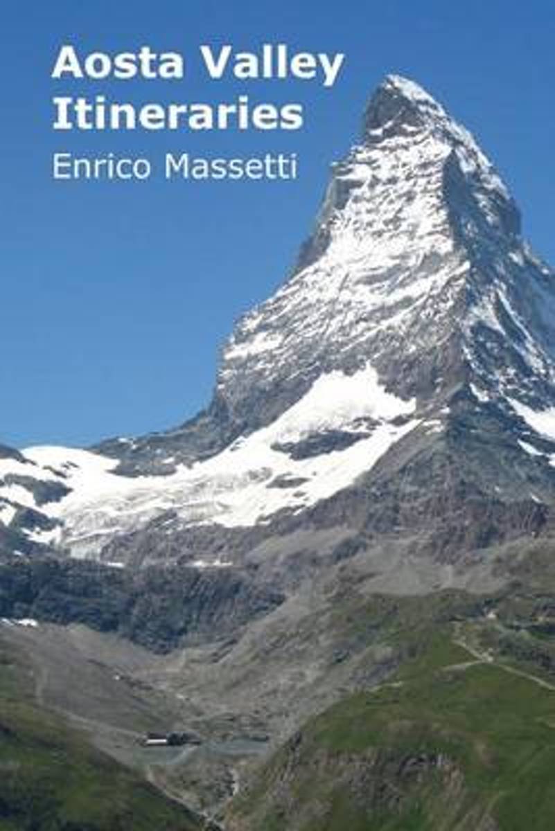
- Aosta Valley Itineraries
- This guide covers visits to the mountain region of Aosta Valley, with description of several itineraries to visit the valley. The locations covered are the city of Aosta, the lower valley with its castles, a visit to Cogne and the Gran Paradiso Park, a visit to Morgex, La Thuille and the Piccolo San Bernardo Pass, one to Courmayeur, one to... Read more
- Also available from:
- Bol.com, Belgium
Bol.com
Belgium
Belgium
- Aosta Valley Itineraries
- This guide covers visits to the mountain region of Aosta Valley, with description of several itineraries to visit the valley. The locations covered are the city of Aosta, the lower valley with its castles, a visit to Cogne and the Gran Paradiso Park, a visit to Morgex, La Thuille and the Piccolo San Bernardo Pass, one to Courmayeur, one to... Read more
Bol.com
Netherlands
Netherlands
- Aosta Valley Itineraries
- Valle d'Aosta is a vertical region, you might say, and not just in the physical sense, for the many high peaks that surround it (including Mont Blanc, the highest mountain in Europe at 4,807 meters), but also for the surprising concentration, in a region of such reduced dimensions, of so many natural splendors, of so many monuments, of so much... Read more
- Also available from:
- Bol.com, Belgium
Bol.com
Belgium
Belgium
- Aosta Valley Itineraries
- Valle d'Aosta is a vertical region, you might say, and not just in the physical sense, for the many high peaks that surround it (including Mont Blanc, the highest mountain in Europe at 4,807 meters), but also for the surprising concentration, in a region of such reduced dimensions, of so many natural splendors, of so many monuments, of so much... Read more
Bol.com
Netherlands
Netherlands
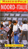
- Marco Polo Reisgids Noord-Italie
- Ontdek Noord-ItaliëOlijven- en citrusbomen aan de voet van de besneeuwde Alpentoppen, een modern leven in 2000 jaar oude stadjes. Als het echt helder is, wat in de vochtige nevels van de Povlakte niet vaak gebeurt, kan men vanaf het dak van de Dom van Milaan de machtige bergketens van de Centrale Alpen in het noorden en de eerste hoge heuvels... Read more
- Also available from:
- Bol.com, Belgium
Bol.com
Belgium
Belgium
- Marco Polo Reisgids Noord-Italie
- Ontdek Noord-ItaliëOlijven- en citrusbomen aan de voet van de besneeuwde Alpentoppen, een modern leven in 2000 jaar oude stadjes. Als het echt helder is, wat in de vochtige nevels van de Povlakte niet vaak gebeurt, kan men vanaf het dak van de Dom van Milaan de machtige bergketens van de Centrale Alpen in het noorden en de eerste hoge heuvels... Read more
Bol.com
Netherlands
Netherlands
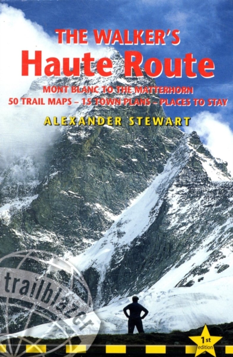
- Walkers' Haute Route
- The Alps offer almost unlimited adventure, and the Walkers Haute Route is probably the single finest way of getting deep into these mountains. Trekking the Walkers Haute Route, from Mont Blanc to the Matterhorn, from Chamonix to Zermatt, you ll traverse one of the finest stretches of the Pennine Alps ? the mountain range in the western Alps... Read more
- Also available from:
- Bol.com, Belgium
Bol.com
Belgium
Belgium
- Walkers' Haute Route
- The Alps offer almost unlimited adventure, and the Walkers Haute Route is probably the single finest way of getting deep into these mountains. Trekking the Walkers Haute Route, from Mont Blanc to the Matterhorn, from Chamonix to Zermatt, you ll traverse one of the finest stretches of the Pennine Alps ? the mountain range in the western Alps... Read more
Karten
De Zwerver
Netherlands
2023
Netherlands
2023
De Zwerver
Netherlands
2019
Netherlands
2019
De Zwerver
Netherlands
2022
Netherlands
2022
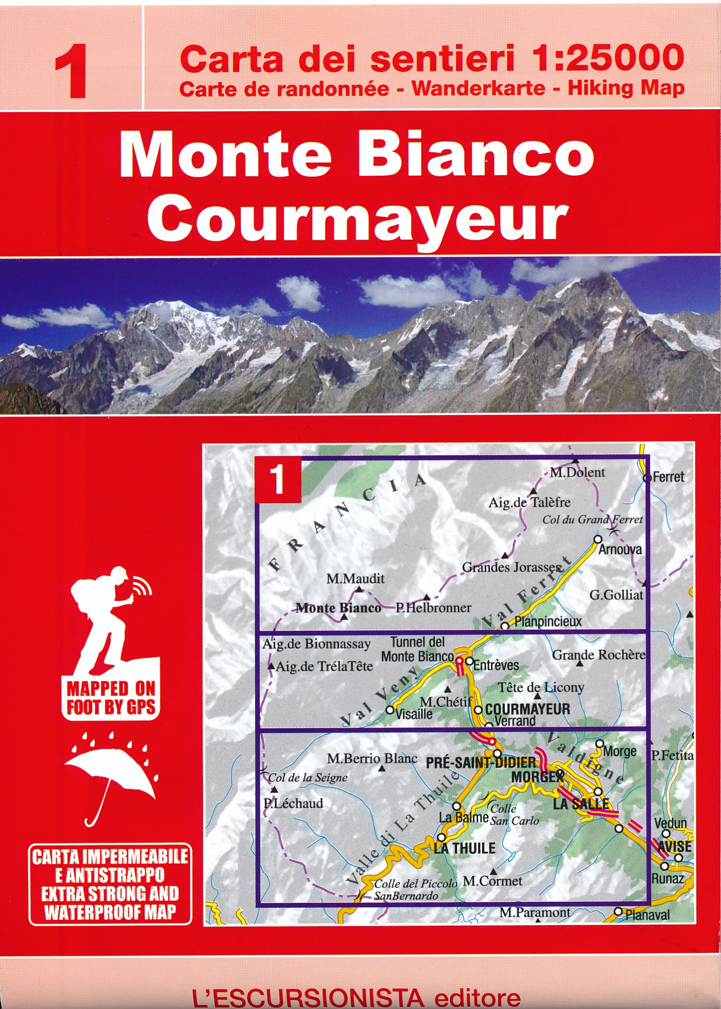
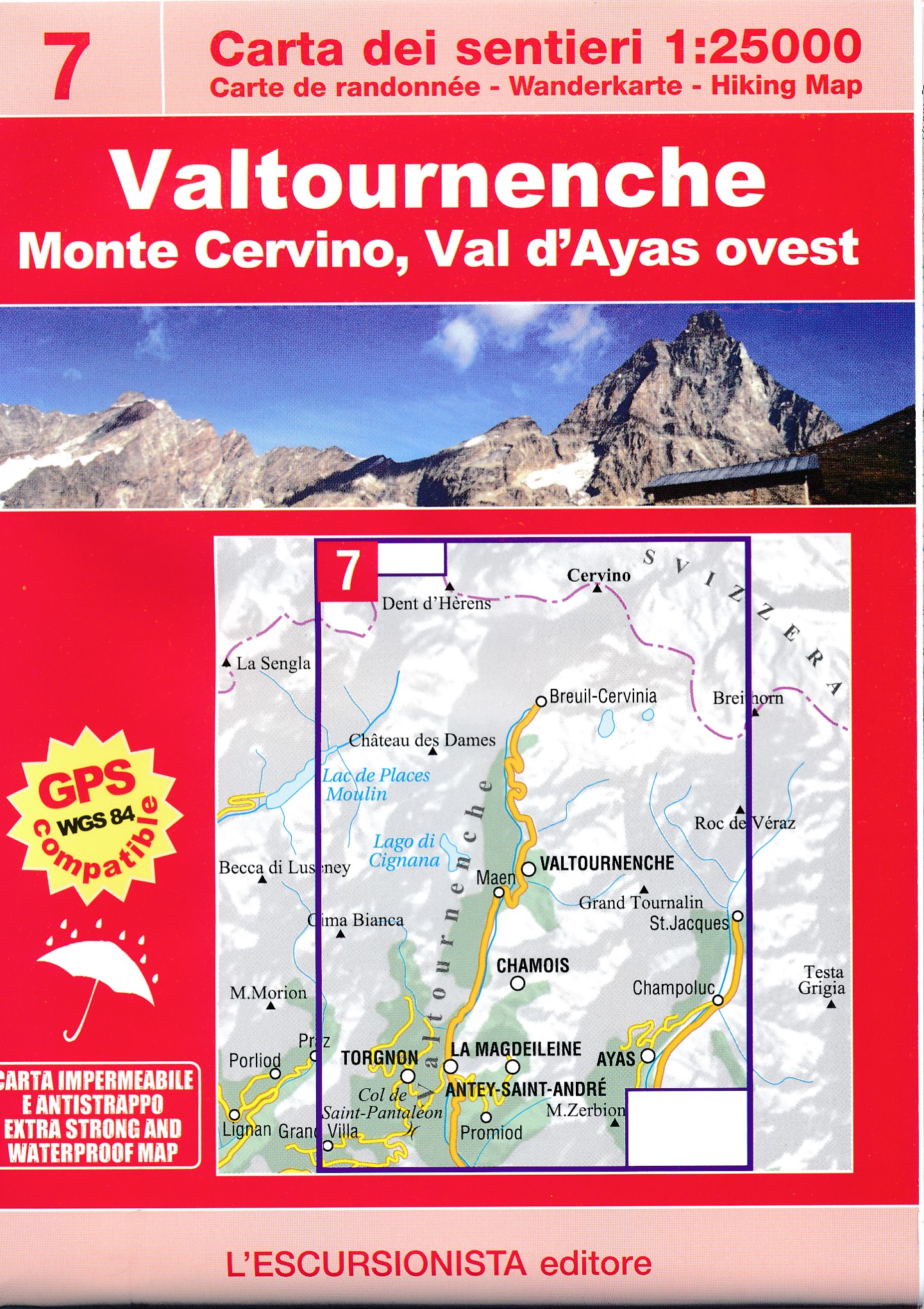
- Wandelkaart 07 Valtournenche, Monte Cervino | L'Escursionista editore
- Voor weinig gebieden in Italië zijn echt goede wandelkaarten beschikbaar. Dit is gelukkig zo'n serie: voor de noordwestelijke Alpen van Italië; Gran Paradiso, Mont Blanc en Aosta en omgeving. Met GPS grid uitgeruste detailkaart, schaal 1:25.000 met alle noodzakelijke wandelinformatie als ingetekende routes, Via Ferrata routes, campings,... Read more

De Zwerver
Netherlands
Netherlands
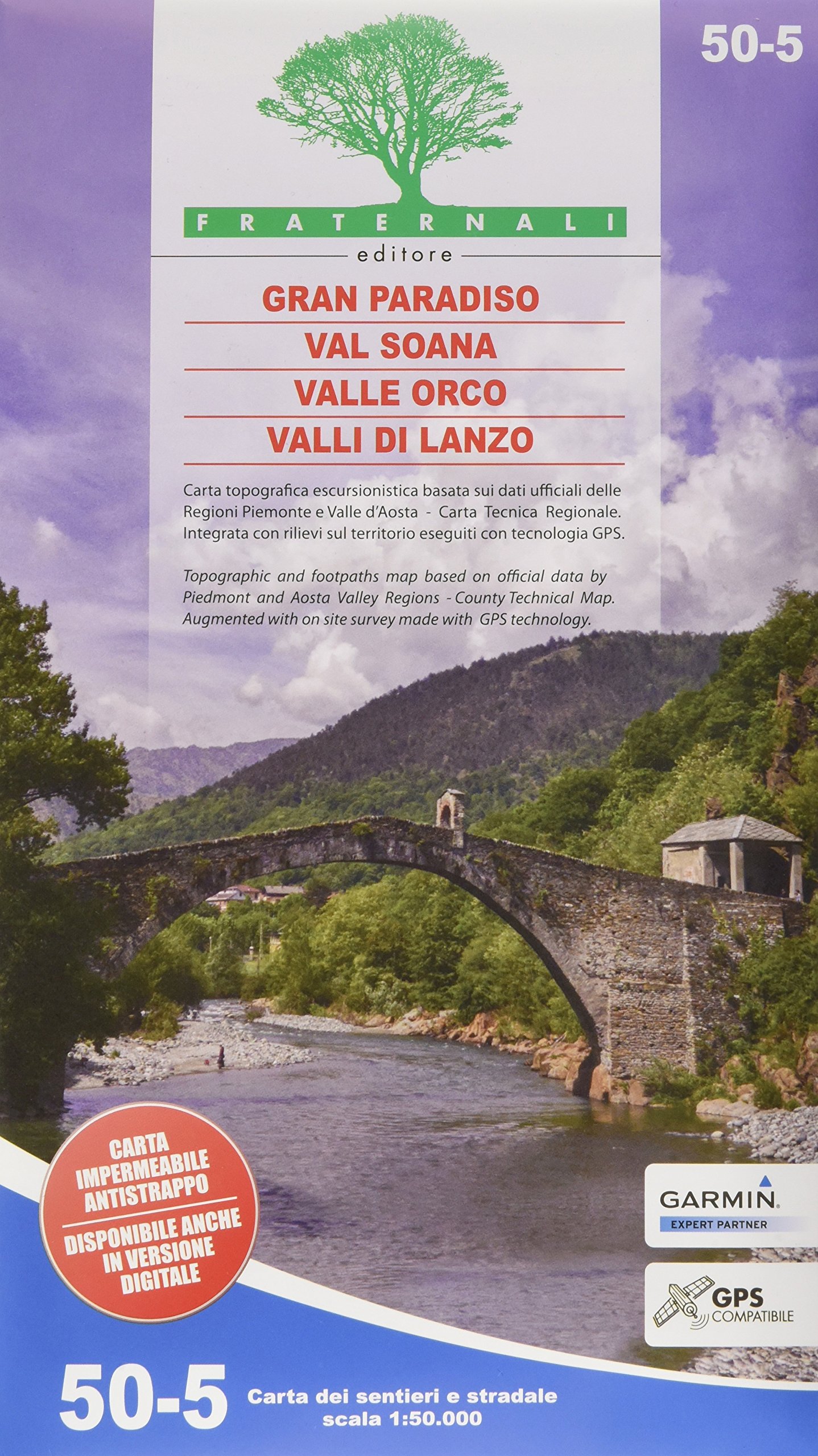
- Wandelkaart 03 Il parco nazionale del Gran Paradiso | IGC - Istituto Geografico Centrale
- Gran Paradiso National Park in a series contoured hiking maps at 1:50,000 with local trails, long-distance footpaths, mountain accommodation, etc, from the Turin based Istituto Geografico Centrale. This new edition published in late 2013 highlights, among other routes, the GTA (Grande Traversata delle Alpi), Via Alpina and Alta Via 2. Coverage... Read more
- Also available from:
- Stanfords, United Kingdom

Stanfords
United Kingdom
United Kingdom
- Gran Paradiso National Park IGC 3
- Gran Paradiso National Park in a series contoured hiking maps at 1:50,000 with local trails, long-distance footpaths, mountain accommodation, etc, from the Turin based Istituto Geografico Centrale. The map highlights, among other routes, the GTA (Grande Traversata delle Alpi), Via Alpina and Alta Via 2. Coverage extends from Aosta at the top of... Read more
De Zwerver
Netherlands
2023
Netherlands
2023
De Zwerver
Netherlands
2022
Netherlands
2022