
Vinschgau
Beschreibung
Region in South Tirol, Italy.
Links
Fakten
Berichte
Führer und Karten
Übernachtung
Organisationen
Reisebüros
GPS
Sonstiges
Bücher
De Zwerver
Netherlands
2015
Netherlands
2015
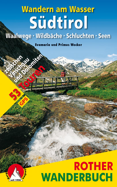
- Wandelgids Zuid Tirol -Wandern am Wasser Südtirol | Rother Bergverlag
- Waalwege · Wildbäche · Schluchten · Seen. 53 Touren zwischen Vinschgau und Dolomiten. Mit GPS-Tracks. Read more
De Zwerver
Netherlands
2022
Netherlands
2022
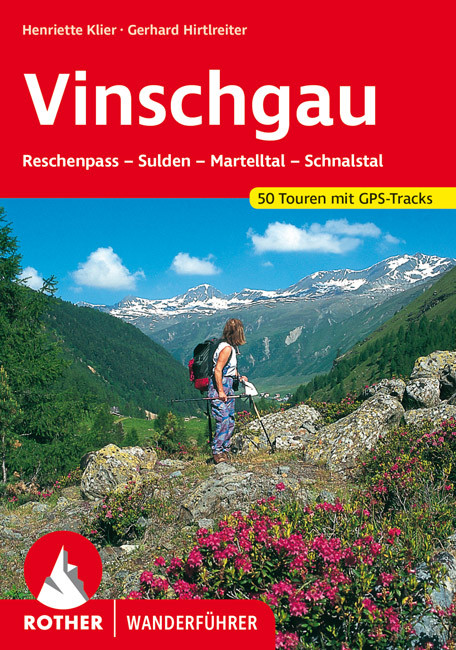
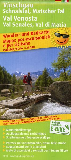
- Wandelgids 99 Vinschgau | Rother Bergverlag
- Uitstekende wandelgids met 50 dagtochten in dal en hooggebergte. Met praktische informatie en beperkt kaartmateriaal! Wandelingen in verschillende zwaarte weergegeven in rood/blauw/zwart. Duits. Der Vinschgau, der das Etschtal vom Reschenpass bis zur Talenge vor Töll bei Meran sowie das Schnalstal, das Martelltal und das Suldener Tal erfasst,... Read more
De Zwerver
Netherlands
2012
Netherlands
2012
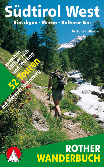
- Wandelgids Südtirol West - zuid tirol | Rother Bergverlag
- De ‘Rother Wanderbücher’ behandelen telkens de 50 mooiste wandelingen, die variëren van eenvoudige kindvriendelijke wandelingen tot routes die aanzienlijk meer ervaring vereisen. Uitvoerige routebeschrijvingen, een aantrekkelijke lay-out met vele kleurenfoto’s, niets aan duidelijkheid te wensen gelaten hoogteprofielen, kaartjes met de... Read more
- Also available from:
- Bol.com, Belgium
Bol.com
Netherlands
1995
Netherlands
1995
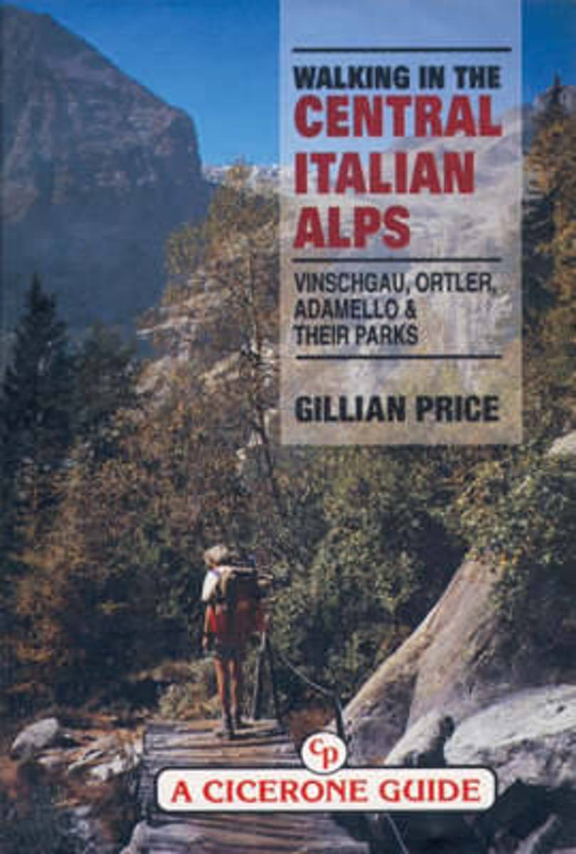
- Walking in the Central Italian Alps
- Guidebook by local expert Gillian Price to walking and trekking in the Central Italian Alps, Italy, Europe presenting a kaleidoscope of walking routes through Italy's largest National Park as well as several Nature Parks. Unusual wildlife, brilliant flora at incredible altitudes, desolate glacial valleys and picturesque legends about the icy... Read more
- Also available from:
- Bol.com, Belgium
Bol.com
Belgium
1995
Belgium
1995
- Walking in the Central Italian Alps
- Guidebook by local expert Gillian Price to walking and trekking in the Central Italian Alps, Italy, Europe presenting a kaleidoscope of walking routes through Italy's largest National Park as well as several Nature Parks. Unusual wildlife, brilliant flora at incredible altitudes, desolate glacial valleys and picturesque legends about the icy... Read more
Bol.com
Netherlands
Netherlands
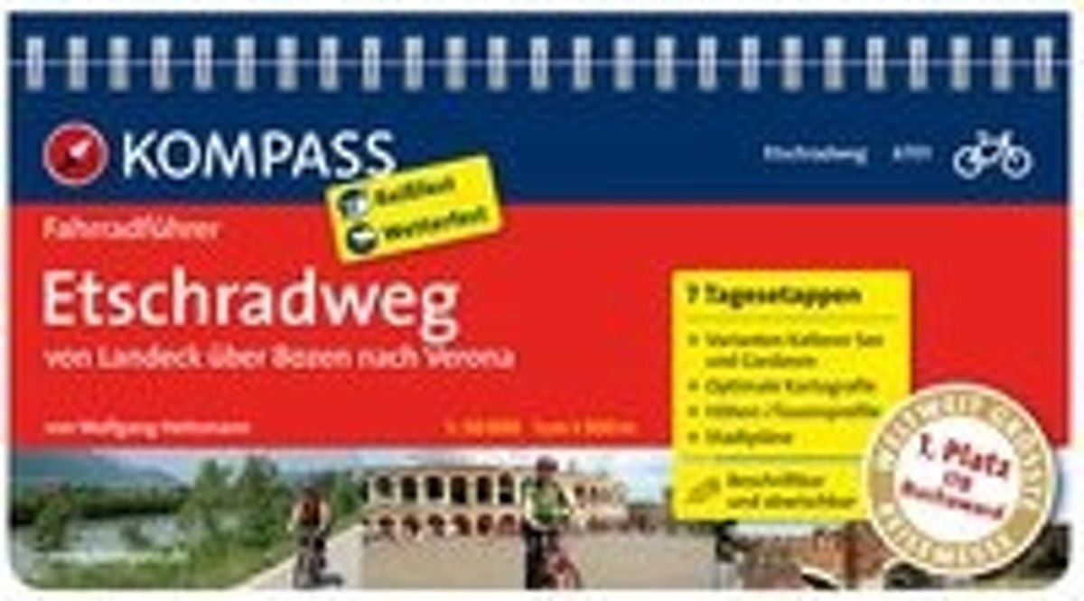
- Etschradweg RF6701 Kompass
- . Von den Alpengletschern bis zum Mittelmeerklima, von den Tiroler Bergbauern bis zu den Relikten der Römer: der Etschradweg ist wohl Europas schönste Nord-Süd-Transversale, die man im Radsattel erleben kann.. Rund 350 Kilometer hat die Strecke vom Nordtiroler Inntal bis nach Verona. Unterwegs gibt es viel zu entdecken! Kirchen und mächtige... Read more
- Also available from:
- Bol.com, Belgium
Bol.com
Belgium
Belgium
- Etschradweg RF6701 Kompass
- . Von den Alpengletschern bis zum Mittelmeerklima, von den Tiroler Bergbauern bis zu den Relikten der Römer: der Etschradweg ist wohl Europas schönste Nord-Süd-Transversale, die man im Radsattel erleben kann.. Rund 350 Kilometer hat die Strecke vom Nordtiroler Inntal bis nach Verona. Unterwegs gibt es viel zu entdecken! Kirchen und mächtige... Read more
Bol.com
Netherlands
Netherlands
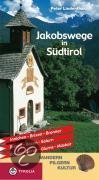
- Jakobswege in Südtirol
- Auf den Spuren der mittelalterlichen Pilger durch Bergtäler und Weinberge.Der bekannte Autor und Jakobswegforscher Peter Lindenthal beschreibt in seinem neuen Pilgerführer die Routen der Jakobspilger in Südtirol. Im Schnittpunkt zentraleuropäischer Verkehrslinien zwischen Nord und Süd, aber auch zwischen Ost und West, zeugen Hospize und... Read more
- Also available from:
- Bol.com, Belgium
Bol.com
Belgium
Belgium
- Jakobswege in Südtirol
- Auf den Spuren der mittelalterlichen Pilger durch Bergtäler und Weinberge.Der bekannte Autor und Jakobswegforscher Peter Lindenthal beschreibt in seinem neuen Pilgerführer die Routen der Jakobspilger in Südtirol. Im Schnittpunkt zentraleuropäischer Verkehrslinien zwischen Nord und Süd, aber auch zwischen Ost und West, zeugen Hospize und... Read more
Bol.com
Netherlands
Netherlands
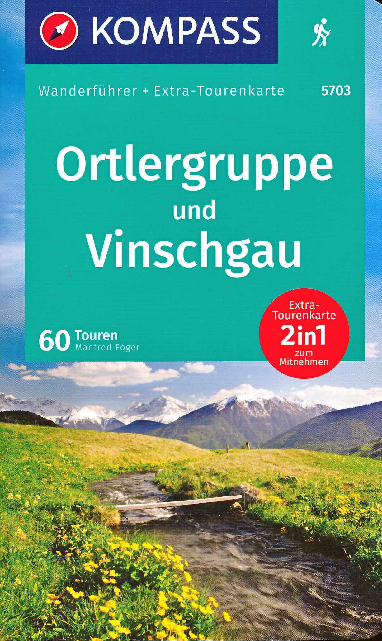
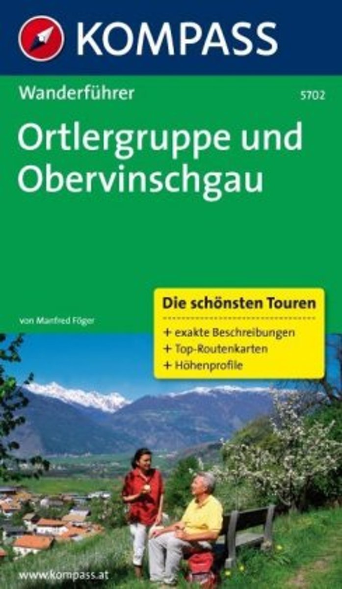
- WF5702 Ortlergruppe und Obervinschgau Kompass
- De Kompass wandelgids + kaart geeft een overzicht van alle wandelroutes in het gebied met nauwkeurige routeaanwijzingen en hoogteaanduidingen, De extra grote kaart, schaal 1:35 000, is ideaal om van te voren uw route uit te stippelen en om onderweg te gebruiken • naast de bekende bestemmingen, worden ook de minder bekende vermeld • openbaar... Read more
- Also available from:
- Bol.com, Belgium
Bol.com
Belgium
Belgium
- WF5702 Ortlergruppe und Obervinschgau Kompass
- De Kompass wandelgids + kaart geeft een overzicht van alle wandelroutes in het gebied met nauwkeurige routeaanwijzingen en hoogteaanduidingen, De extra grote kaart, schaal 1:35 000, is ideaal om van te voren uw route uit te stippelen en om onderweg te gebruiken • naast de bekende bestemmingen, worden ook de minder bekende vermeld • openbaar... Read more
Bol.com
Netherlands
Netherlands
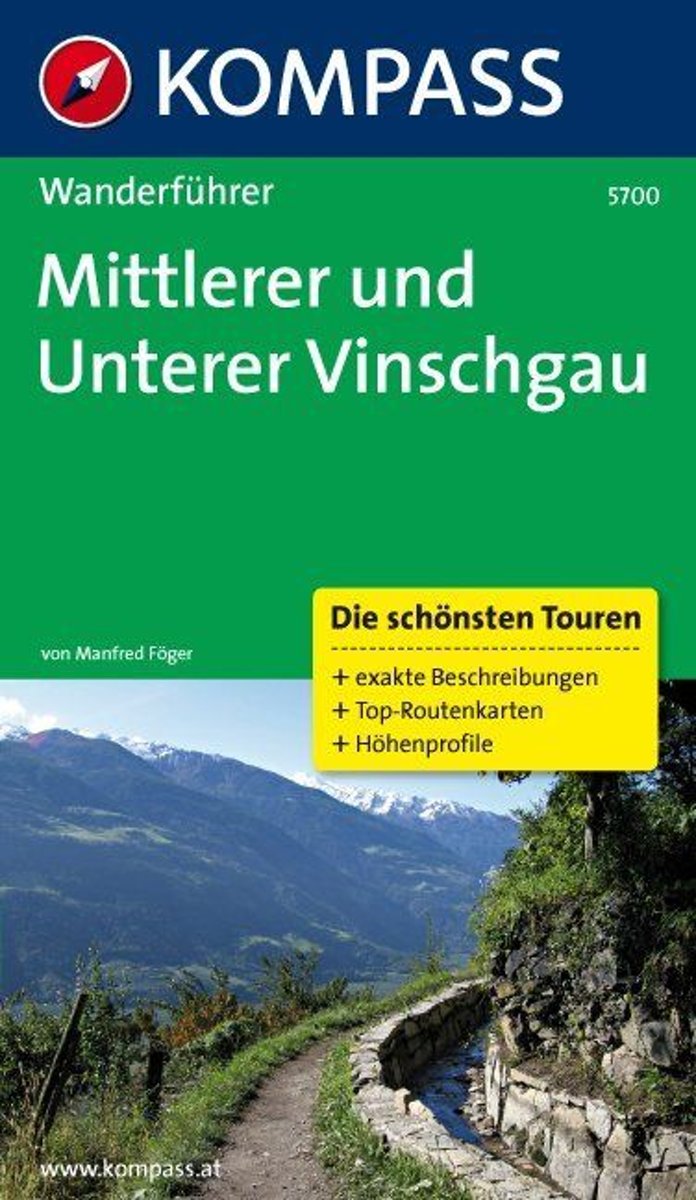
- WF5700 Vinschgau, Mittlelrr und Unterer Kompass
- De Kompass wandelgids + kaart geeft een overzicht van alle wandelroutes in het gebied met nauwkeurige routeaanwijzingen en hoogteaanduidingen, De extra grote kaart, schaal 1:35 000, is ideaal om van te voren uw route uit te stippelen en om onderweg te gebruiken • naast de bekende bestemmingen, worden ook de minder bekende vermeld • openbaar... Read more
- Also available from:
- Bol.com, Belgium
Bol.com
Belgium
Belgium
- WF5700 Vinschgau, Mittlelrr und Unterer Kompass
- De Kompass wandelgids + kaart geeft een overzicht van alle wandelroutes in het gebied met nauwkeurige routeaanwijzingen en hoogteaanduidingen, De extra grote kaart, schaal 1:35 000, is ideaal om van te voren uw route uit te stippelen en om onderweg te gebruiken • naast de bekende bestemmingen, worden ook de minder bekende vermeld • openbaar... Read more
Karten

The Book Depository
United Kingdom
United Kingdom
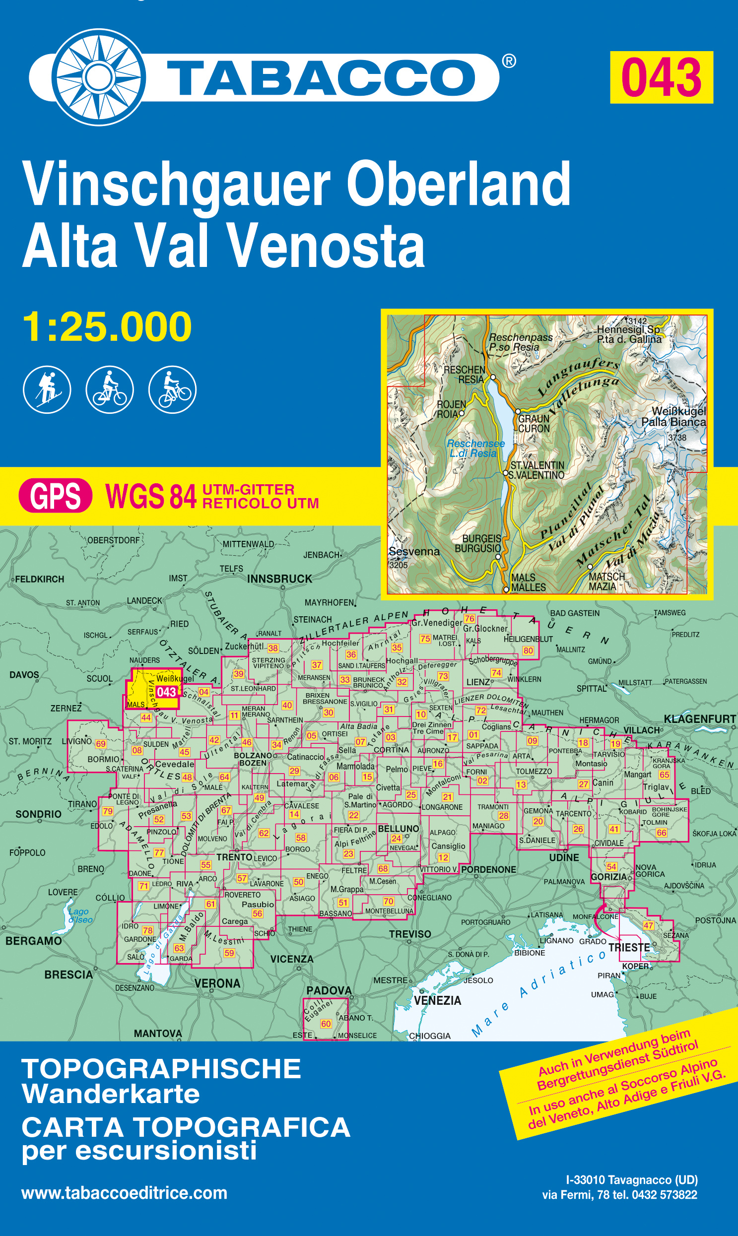
- Alta Val Venosta
- Alta Val Venosta/Vinschgauer Oberland area in a series of Tabacco maps at 1:25,000 covering the Dolomites and the mountains of north-eastern Italy - Stanfords Read more
The Book Depository
United Kingdom
2021
United Kingdom
2021
- Alta Val Venosta/Vinschgauer Oberland
- Alta Val Venosta/Vinschgauer Oberland area in a series of Tabacco maps at 1:25,000 covering the Dolomites and the mountains of north-eastern Italy - Stanfords’ most popular coverage for this region, with excellent cartography and extensive overprint for hiking routes and other recreational activities, local bus stops, etc. Additional overprint... Read more
- Also available from:
- De Zwerver, Netherlands
- Stanfords, United Kingdom
De Zwerver
Netherlands
2021
Netherlands
2021
- Wandelkaart 043 Vinschgauer Oberland - Alta Val Venosta | Tabacco Editrice
- Alta Val Venosta/Vinschgauer Oberland area in a series of Tabacco maps at 1:25,000 covering the Dolomites and the mountains of north-eastern Italy - Stanfords’ most popular coverage for this region, with excellent cartography and extensive overprint for hiking routes and other recreational activities, local bus stops, etc. Additional overprint... Read more

Stanfords
United Kingdom
2021
United Kingdom
2021
- Alta Val Venosta / Vinschgauer Oberland Tabacco 043
- Alta Val Venosta/Vinschgauer Oberland area in a series of Tabacco maps at 1:25,000 covering the Dolomites and the mountains of north-eastern Italy - Stanfords’ most popular coverage for this region, with excellent cartography and extensive overprint for hiking routes and other recreational activities, local bus stops, etc. Additional overprint... Read more

The Book Depository
United Kingdom
United Kingdom
De Zwerver
Netherlands
2023
Netherlands
2023
De Zwerver
Netherlands
Netherlands
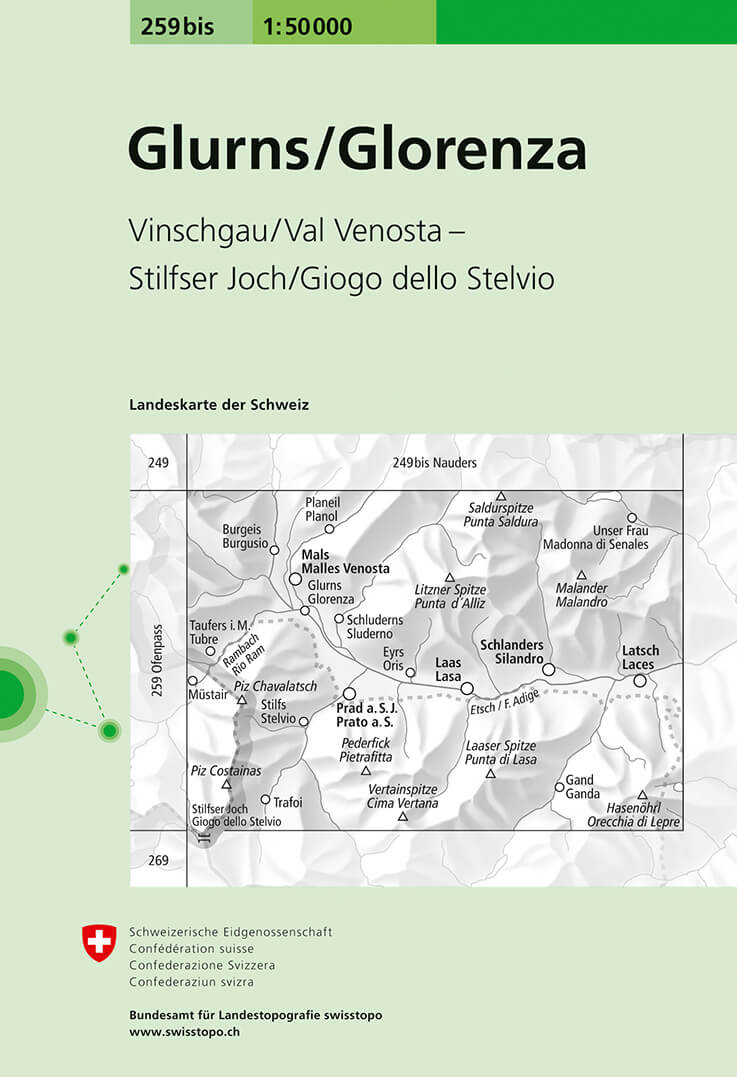
- Wandelkaart - Topografische kaart 259bis Glorenza/Glurns | Swisstopo
- Glorenza/Glurns, map No. 259bis, in the standard topographic survey of Switzerland at 1:50,000 from Swisstopo, i.e. without the special overprint highlighting walking trails, local bus stops, etc, presented in Swisstopo Read more
- Also available from:
- Stanfords, United Kingdom

Stanfords
United Kingdom
United Kingdom
- Glorenza / Glurns Swisstopo 259bis
- Glorenza/Glurns, map No. 259bis, in the standard topographic survey of Switzerland at 1:50,000 from Swisstopo, i.e. without the special overprint highlighting walking trails, local bus stops, etc, presented in Swisstopo’s hiking editions of the 50K survey. The map covers mainly Val Venosta / Vinschgau valley on the Italian side of the... Read more
De Zwerver
Netherlands
2020
Netherlands
2020
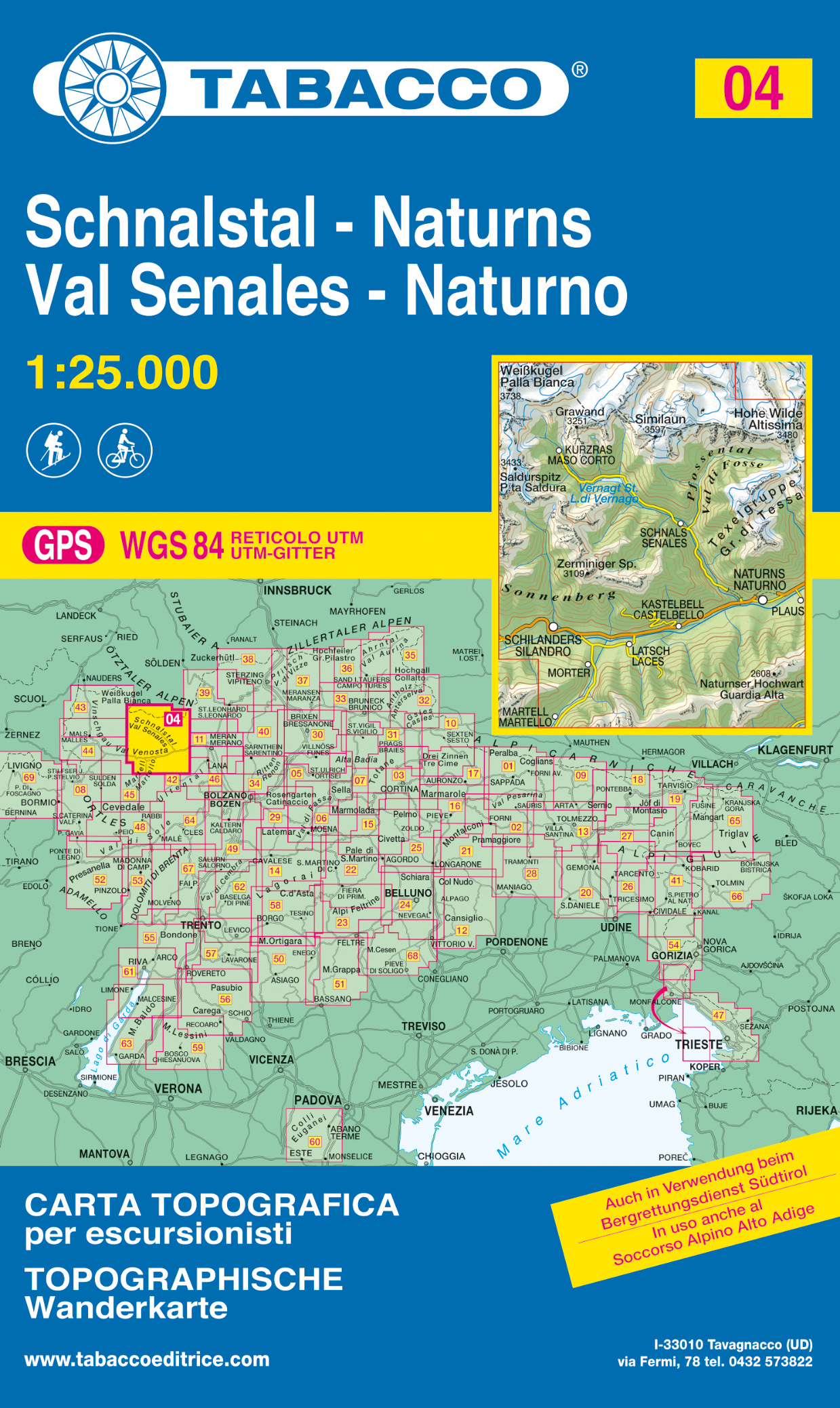
- Wandelkaart 004 Schnalstal - Naturns - Val Senales - Naturno | Tabacco Editrice
- Val Senales/Schnalstal - Naturno/Naturns area in a series of Tabacco maps at 1:25,000 covering the Dolomites and the mountains of north-eastern Italy - Stanfords Read more
- Also available from:
- Stanfords, United Kingdom

Stanfords
United Kingdom
2020
United Kingdom
2020
- Val Senales / Schnalstal - Naturno / Naturns Tabacco 04
- Val Senales/Schnalstal - Naturno/Naturns area in a series of Tabacco maps at 1:25,000 covering the Dolomites and the mountains of north-eastern Italy - Stanfords’ most popular coverage for this region, with excellent cartography and extensive overprint for hiking routes and other recreational activities, local bus stops, etc. Additional... Read more

Stanfords
United Kingdom
United Kingdom
- Val Venosta / Vinschgau K+F Outdoor Map 1
- Val Venosta / Vinschgau area in the Dolomites at 1:50,000 in a series of waterproof and tear-resistant, GPS compatible and contoured recreational maps from Kümmerly + Frey with both local and long-distance hiking and cycling trails, ski routes, sites for other outdoor pursuits, accommodation, bus stops, etc. Coverage includes the Ortles/Ortler... Read more

Stanfords
United Kingdom
United Kingdom
- Vinschgau North Supertrail Map
- The new Supertrail Maps show the best singletrails in Europe’s hottest mountain bike spots. These unique topographic maps make the knowledge of locals available to other mountain bikers. Consistent difficulty rating and useful additional information prevent the user from critical situations on the trails. The best singletrails in the best... Read more

Stanfords
United Kingdom
United Kingdom
- Vinschgau East Supertrail Map
- The new Supertrail Maps show the best singletrails in Europe’s hottest mountain bike spots. These unique topographic maps make the knowledge of locals available to other mountain bikers. Consistent difficulty rating and useful additional information prevent the user from critical situations on the trails. The best singletrails in the best... Read more

Stanfords
United Kingdom
United Kingdom
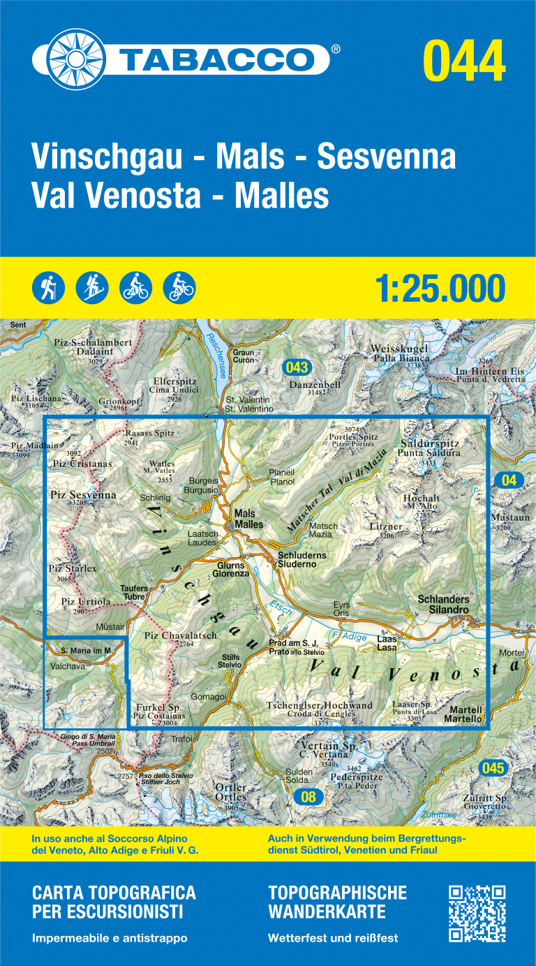
- Val Venosta / Vinschgau - Sesvenna Tabacco 044
- Val Venosta/Vinschgau - Sesvenna area in a series of Tabacco maps at 1:25,000 covering the Dolomites and the mountains of north-eastern Italy - Stanfords’ most popular coverage for this region, with excellent cartography and extensive overprint for hiking routes and other recreational activities, local bus stops, etc. Additional overprint in... Read more

Stanfords
United Kingdom
United Kingdom
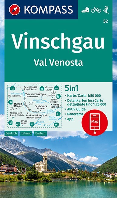
- Val Venosta / Vinschgau Kompass 52
- Val Venosta/Vinschgau area of the Dolomites on a GPS compatible hiking and recreational map at 1:50,000 from Kompass, printed on durable, waterproof and tear-resistant synthetic paper. KOMPASS HIKING MAPS OF ITALY: this title is part of an extensive series of walking maps from Kompass covering selected areas of Italy at mainly 1:50,000, with a... Read more

Stanfords
United Kingdom
United Kingdom
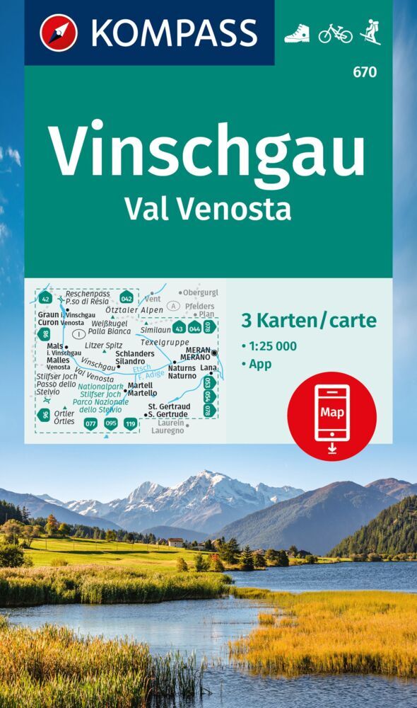
- Val Venosta / Vinschgau 3-Map Set Kompass 670
- Val Venosta / Vinschgau in the South Tyrol on a set of three contoured and GPS compatible maps at 1:25,000 from Kompass in their series of detailed maps of the Dolomites. Coverage extends from Merano westwards to the Rèsia lake and pass in the north-west and includes the Stelvio / Stilfser Joch National Par, with the Ortles/Ortler group and... Read more

Stanfords
United Kingdom
United Kingdom
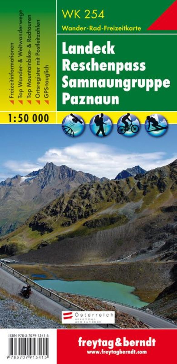
- Landeck - Reschenpass - Samnaungruppe - Paznaun F&B WK254
- Landeck - Reschenpass - Samnaun Alps - Paznaun area of the Austrian Alps presented at 1:50,000 in a series of contoured and GPS compatible outdoor leisure map from Freytag & Berndt with hiking and cycling routes, mountain huts, campsites and youth hostels, local bus stops, plus other tourist information.To see the list of currently available... Read more
- Also available from:
- Bol.com, Netherlands
- Bol.com, Belgium
Bol.com
Netherlands
Netherlands
- FB WK254 Landeck • Reschenpass • Samnaungruppe • Paznaun
- Fiets- en wandelkaart • schaal 1:50 000 • activiteiten gids • plaatsnamenregister met postcodes • fietspaden en mountainbikeroutes • vermelding GPS-punten • met ski- en langlaufroutes Read more
Bol.com
Belgium
Belgium
- FB WK254 Landeck • Reschenpass • Samnaungruppe • Paznaun
- Fiets- en wandelkaart • schaal 1:50 000 • activiteiten gids • plaatsnamenregister met postcodes • fietspaden en mountainbikeroutes • vermelding GPS-punten • met ski- en langlaufroutes Read more