
Ötztal
Beschreibung

The Ötztal Alps, together with the Hohe Tauern, is one of the best known mountain destinations in Austria. The reason is this: the Ötztal is a spectacular high alpine region. This vast area of snow, ice and rock counts many trails. Many of them can be done by the average mountain hiker. Even many of the glacier crossings are not too difficult, although they obviously require the correct use of rope, ice ax and crampons.
The area forms the border between Italy and Austria. The Italian side is called Val Venoste. The weather is often fair, because the area is on the southern side of the Alps.
The center of this mountain region is the Ötztal proper. The main towns here, the best places to start your expedition, are Sölden and Vent. The valley to the west is called the Pitztal. This is as good a starting point for longer or shorter hikes. Here, Mittelberg and Imst and the places to search for. Mountain huts abound.
Among the many high mountains, the highest is the Wildspitze, 3774 m, the second highest mountain in Austria.
In 1991 two hikers found a body of a man, half buried into the ice. This man, it turned out, died 5300 years ago. The body had miraculously been preserved over the millennia. A great find, from which we can learn a lot about the earliest inhabitants of the continent. Ötzi, the iceman, is now on display in Bolzano, in his own museum.
Karte

Wanderwege Region
Links
Fakten
Berichte
Führer und Karten
Übernachtung
Organisationen
Reisebüros
GPS
Sonstiges
Bücher
Netherlands
2011
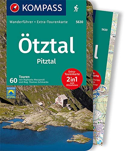
- Wandelgids Hikeline Ötztal | Esterbauer
- Goede handzame wandelgids met duidelijke kaarten en informatieve tekst. / Gedetailleerde wandelgidsen met ingetekende lange afstandsroute. Goede omschrijving van de route met tevens praktische informatie voor onderweg. Länge, Höhenmeter und Anforderungen Die fünfzig Touren dieses Buches decken eine große Bandbreite von kurzen Spaziergängen über... Read more

Netherlands
2007
- Wandelgids Across the eastern alps: E5 | Cicerone
- From Lake Constance in Germany, this guidebook describes walking the E5 trek that runs 600km through a remarkable kaleidoscope of landscapes and culture in Switzerland, Austria and Italy, to its destination at Verona. It traverses the Allgauer, Lechtaler and Ötztaler Alps. There is a good network of alpine refuges and guesthouses on the route. Read more
Netherlands
2021
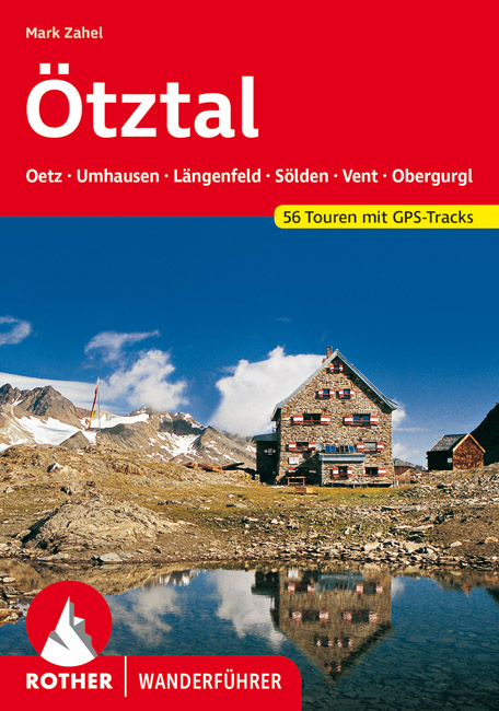
- Wandelgids Otztal | Rother Bergverlag
- Uitstekende wandelgids met een groot aantal dagtochten in dal en hooggebergte. Met praktische informatie en beperkt kaartmateriaal! Wandelingen in verschillende zwaarte weergegeven in rood/blauw/zwart. Das Ötztal ist ein Tal der Superlative. Es ist mit siebzig Kilometern nicht nur das längste Seitental des Inns, es wird auch von über 300... Read more
Netherlands
2022
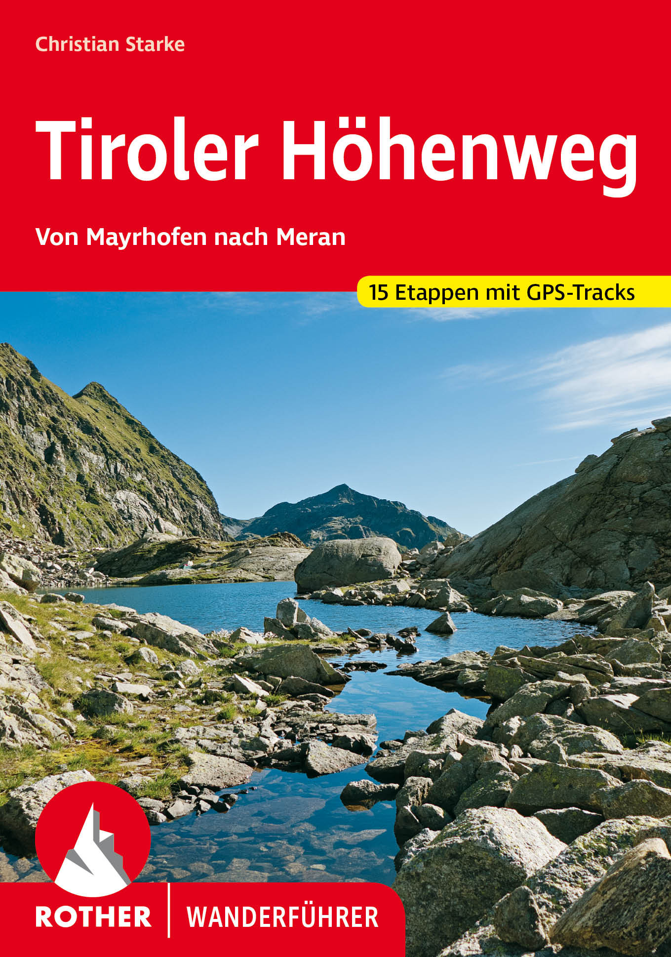
- Wandelgids Tiroler Höhenweg | Rother Bergverlag
- Uitstekende beschrijvingen van deze steeds populairder wordende bergtocht! Goede routebeschrijving, veel praktische informatie, hoogteprofielen en redelike kaartjes. Met alle noodzakelijke info. Zie voor beschrijving de duitse tekst hieronder ... Der Tiroler Höhenweg ist ein hochalpiner Weitwanderweg der Superlative, der in grandioser... Read more
Netherlands
2022
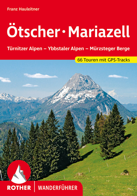
- Wandelgids 70 Ötscher -Mariazell | Rother Bergverlag
- Uitstekende wandelgids met een groot aantal dagtochten in dal en hooggebergte. Met praktische informatie en beperkt kaartmateriaal! Wandelingen in verschillende zwaarte weergegeven in rood/blauw/zwart. Im Bergland um Mariazell und Türnitz vereinen sich grüne Täler und tiefe Schluchten, steil aufragende Wald- und Felsgipfel, stäubende... Read more


Netherlands
2022

Netherlands
2011
- Wandelgids Tirol Oberinntal | Rother Bergverlag
- 50 Touren zwischen Innsbruck und Arlberg Rother Wanderbuch. 1. Auflage. Read more

Netherlands
2022
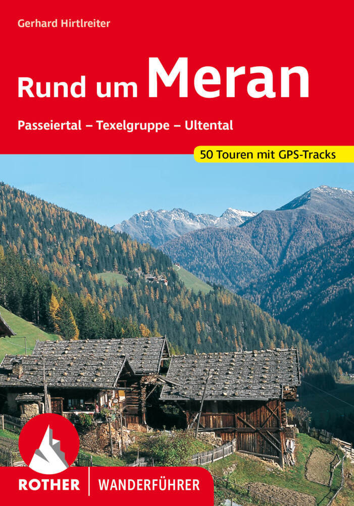
- Wandelgids 63 Rund um Meran - Merano | Rother Bergverlag
- Uitstekende wandelgids met 50 dagtochten in dal en hooggebergte. Met praktische informatie en beperkt kaartmateriaal! Wandelingen in verschillende zwaarte weergegeven in rood/blauw/zwart. Duits. Meran und Schloss Tirol waren der Mittelpunkt des alten Tirol. Heute bildet die Stadt Meran mit ihrer Umgebung ein beliebtes Ziel für Wanderer und... Read more

Netherlands
2022
- Wandelgids Munchen - Venetie, München - Venedig | Rother Bergverlag
- Beschrijving van een lange afstand pad dwars door de Alpen van Munchen naar Venetie: goede beschrijvingen van de etappes, kaarten redelijk. Die anspruchsvolle Alpenüberquerung von München nach Venedig verläuft auf einer der interessantesten aller möglichen Routen über das höchste Gebirge Europas. Im Herzen Münchens beginnt die Tour am... Read more

Netherlands
2022
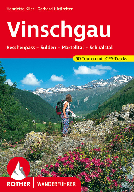
- Wandelgids 99 Vinschgau | Rother Bergverlag
- Uitstekende wandelgids met 50 dagtochten in dal en hooggebergte. Met praktische informatie en beperkt kaartmateriaal! Wandelingen in verschillende zwaarte weergegeven in rood/blauw/zwart. Duits. Der Vinschgau, der das Etschtal vom Reschenpass bis zur Talenge vor Töll bei Meran sowie das Schnalstal, das Martelltal und das Suldener Tal erfasst,... Read more
Netherlands
2016
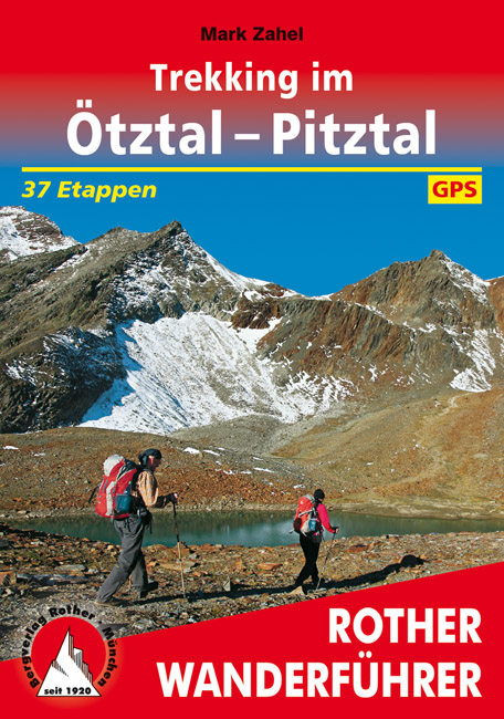
- Wandelgids trekking im Otztal - Pitztal | Rother Bergverlag
- Vijf meerdaagse tochten van hut naar hut. Goed beschreven met een uitvoerige routebeschrijving en veel praktische informatie. Elke route is voorzien van een hoogteprofiel en kaartmateriaal (met een schaal van 1:75.000 enigszins te grof) Die Niederungen des Alltags hinter sich zu lassen und tagelang durch unberührte Bergnatur zu wandern, stets... Read more
- Also available from:
- Bol.com, Netherlands
- Bol.com, Belgium

Netherlands
2016
- Trekking im Ötztal-Pitztal
- F nf mehrt gige Trekkings laden Wanderer zu hochalpinen Streifz gen von H tte zu H tte ein: einde ideale M glichkeit die grosshartige Bergwelt um tztal und Pitztal zu erkunden. Read more
Belgium
2016
- Trekking im Ötztal-Pitztal
- F nf mehrt gige Trekkings laden Wanderer zu hochalpinen Streifz gen von H tte zu H tte ein: einde ideale M glichkeit die grosshartige Bergwelt um tztal und Pitztal zu erkunden. Read more
Karten

United Kingdom
- Also available from:
- Stanfords, United Kingdom

United Kingdom
- Ötztal - Pitztal - Kaunertal - Wildspitze F&B WK251
- Ötztal - Pitztal - Kaunertal - Wildspitze area of the Austrian Alps presented at 1:50,000 in a series of contoured and GPS compatible outdoor leisure map from Freytag & Berndt with hiking and cycling routes, mountain huts, campsites and youth hostels, local bus stops, plus other tourist information.To see the list of currently available titles... Read more

United Kingdom

United Kingdom
- Dachstein - Ausseerland - Filzmoos - Ramsau Hiking + Leisure Map 1:50 000
- Dachstein - Ausseer Land - Filzmoos - Ramsau - Bad Ischl - Schladming area of the Austrian Alps presented at 1:50,000 in a series of contoured and GPS compatible outdoor leisure map from Freytag & Berndt with hiking and cycling routes, mountain huts, campsites and youth hostels, local bus stops, plus other tourist information. To see the list... Read more
- Also available from:
- Stanfords, United Kingdom

United Kingdom
- Dachstein - Ausseerland - Filzmoos - Ramsau F&B WK281
- Dachstein - Ausseer Land - Filzmoos - Ramsau - Bad Ischl - Schladming area of the Austrian Alps presented at 1:50,000 in a series of contoured and GPS compatible outdoor leisure map from Freytag & Berndt with hiking and cycling routes, mountain huts, campsites and youth hostels, local bus stops, plus other tourist information. To see the list... Read more

United Kingdom
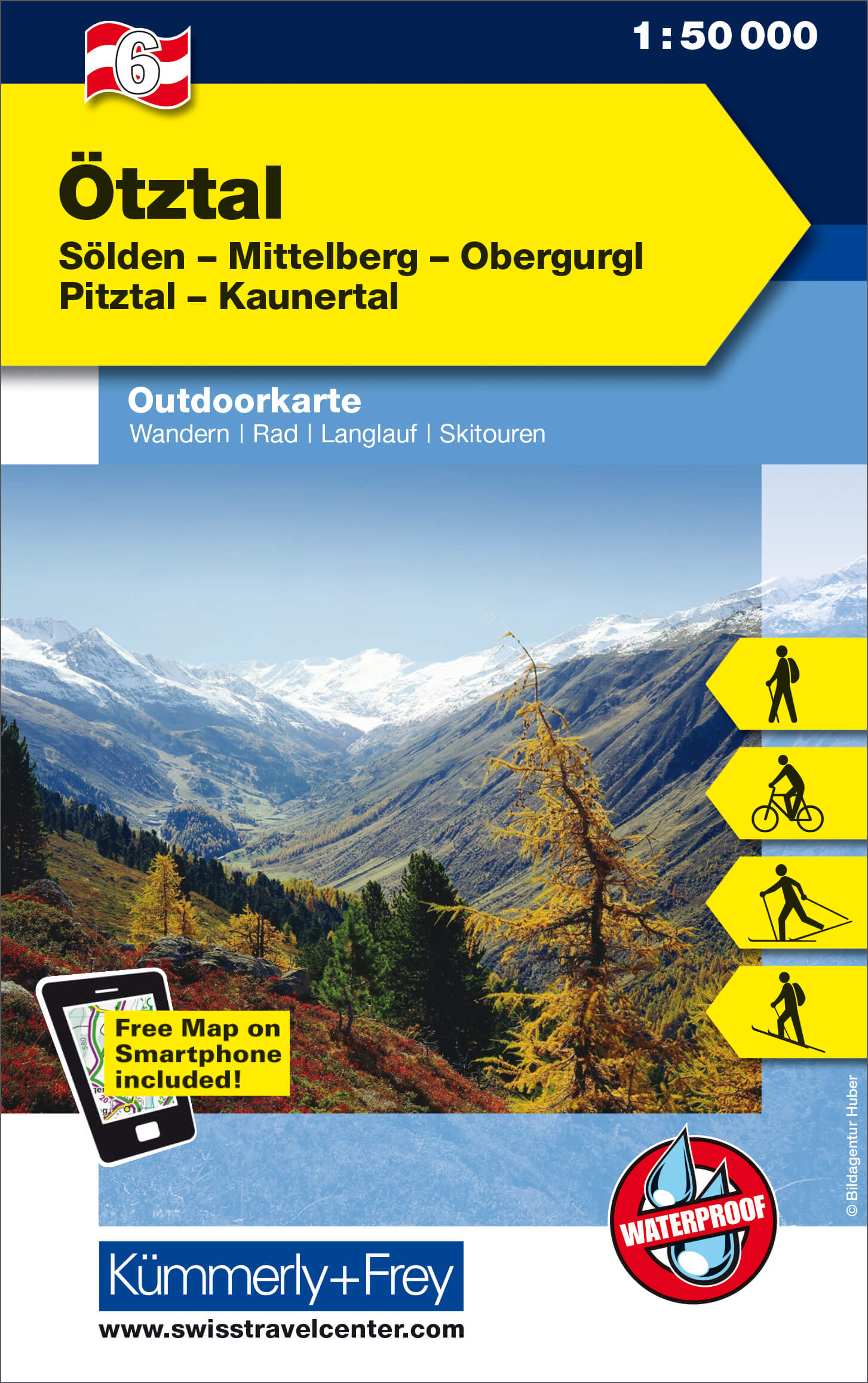
- Oetztal
- Ötztal - Sölden - Mittelberg - Obergurgl - Pitztal - Kaunertal area of the Tyrol at 1:50,000 on a GPS compatible, double-sided map from Kümmerly+Frey printed on sturdy, waterproof and tear-resistant synthetic paper; contoured, with hiking, cycling and ski routes, accommodation facilities, locations for other recreational activities, etc.Maps in... Read more
- Also available from:
- De Zwerver, Netherlands
- Stanfords, United Kingdom
Netherlands
- Wandelkaart 06 Outdoorkarte AT Ötztal | Kümmerly & Frey
- Ötztal - Sölden - Mittelberg - Obergurgl - Pitztal - Kaunertal area of the Tyrol at 1:50,000 on a GPS compatible, double-sided map from Kümmerly+Frey printed on sturdy, waterproof and tear-resistant synthetic paper; contoured, with hiking, cycling and ski routes, accommodation facilities, locations for other recreational activities, etc.Maps in... Read more

United Kingdom
- Ötztal - Sölden - Mittelberg - Obergurgl - Pitztal - Kaunertal K+F Outdoor Map 6
- Ötztal - Sölden - Mittelberg - Obergurgl - Pitztal - Kaunertal area of the Tyrol at 1:50,000 on a GPS compatible, double-sided map from Kümmerly+Frey printed on sturdy, waterproof and tear-resistant synthetic paper; contoured, with hiking, cycling and ski routes, accommodation facilities, locations for other recreational activities, etc.Maps in... Read more

United Kingdom
- Also available from:
- Stanfords, United Kingdom

United Kingdom
- Carinthian Alps - Gailtal - Gitschtal - Nassfeld - Lesachtal - Weissensee - Upper Drautal F&B WK223
- Naturarena Kärnten - Gailtal - Gitschtal -Lesachtal - Weissensee - Oberes Drautal area of Carinthia presented at 1:50,000 in a series of contoured and GPS compatible outdoor leisure map from Freytag & Berndt with hiking and cycling routes, mountain huts, campsites and youth hostels, local bus stops, plus other tourist information.To see the... Read more

Netherlands
- Wandelkaart 07 Valli Maira, grana e stura | IGC - Istituto Geografico Centrale
- Maira, Grana and Stura Valleys, map no. 7, in a series contoured hiking maps at 1:50,000 with local trails, long-distance footpaths, mountain accommodation, etc. from the Turin based Istituto Geografico Centrale covering the Italian Alps and Piedmont, the lakes and northern Lombardy, and the Italian Riviera.The maps have contours at 50m... Read more
- Also available from:
- Stanfords, United Kingdom

United Kingdom
- Maira, Grana and Stura Valleys IGC 7
- Maira, Grana and Stura Valleys in a series contoured hiking maps at 1:50,000 with local trails, long-distance footpaths, mountain accommodation, etc. from the Turin based Istituto Geografico Centrale.Maps in this series have contours at 50m intervals, enhanced by shading and graphic relief. An overprint highlights local footpaths and... Read more
Netherlands
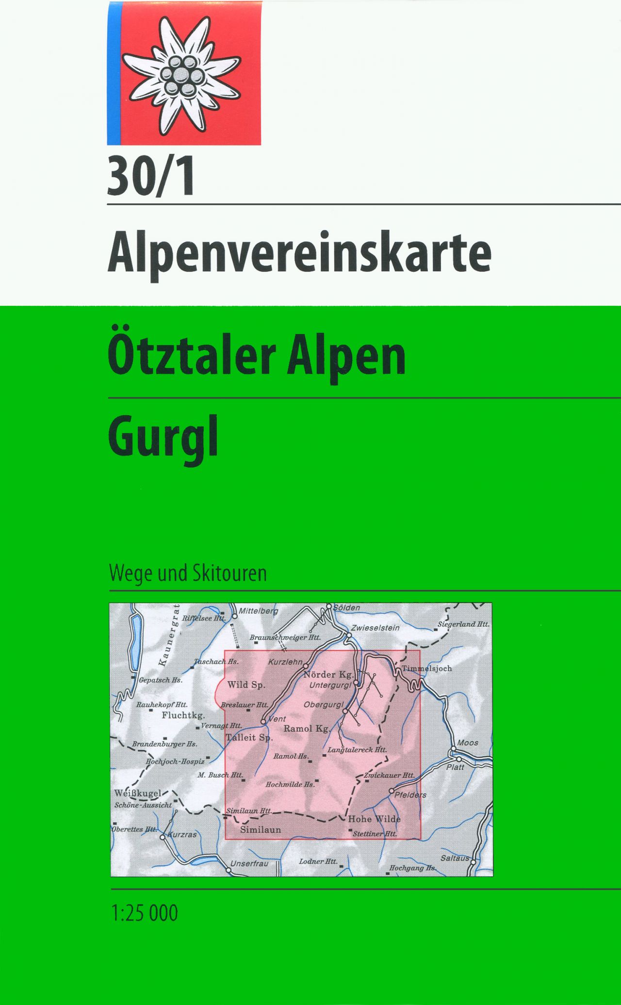
- Wandelkaart 30/1 Alpenvereinskarte Ötztaler Alpen - Gurgl | Alpenverein
- De beste en meest gedetailleerde kaarten van met name de Oostenrijkse alpen: wandelroutes zijn naar zwaarte onderscheidend gemarkeerd, gletsjeroverschrijdingen staan aangegeven en de verschillende soorten hutten ingetekend. Met als ondergrond de topografische kaarten bieden ze een schat aan informatie voor elke beginnende en gevorderde... Read more
- Also available from:
- Stanfords, United Kingdom

United Kingdom
- Otztal Alps - Gurgl Alpenverein KOMBI Map 30/1
- Ötztaler Alps: Gurgl area of the Alps in a hiking edition at 1:25,000 from a series of detailed, GPS compatible maps published by the DAV - Deutscher Alpenverein and produced by the German and Austrian Alpine Clubs using cartography from their respective survey organizations. Maps in this series have topography vividly presented by contours at... Read more

Netherlands
- Wandelkaart 19 Asti, Alba, Acqui terme | IGC - Istituto Geografico Centrale
- Asti - Alba - Acqui Terme area in a series contoured hiking maps at 1:50,000 with local trails, long-distance footpaths, mountain accommodation, etc. from the Turin based Istituto Geografico Centrale.Maps in this series have contours at 50m intervals, enhanced by shading and graphic relief. An overprint highlights local footpaths and... Read more
- Also available from:
- Stanfords, United Kingdom

United Kingdom
- Asti - Alba - Acqui Terme IGC 19
- Asti - Alba - Acqui Terme area in a series contoured hiking maps at 1:50,000 with local trails, long-distance footpaths, mountain accommodation, etc. from the Turin based Istituto Geografico Centrale.Maps in this series have contours at 50m intervals, enhanced by shading and graphic relief. An overprint highlights local footpaths and... Read more

Netherlands
- Wandelkaart 09 Ivrea, Biella e Bassa Valle d'Aosta | IGC - Istituto Geografico Centrale
- Ivrea - Biela - Lower Aosta Valley, map no. 9, in a series contoured hiking maps at 1:50,000 with local trails, long-distance footpaths, mountain accommodation, etc. from the Turin based Istituto Geografico Centrale covering the Italian Alps and Piedmont, the lakes and northern Lombardy, and the Italian Riviera.The maps have contours at 50m... Read more
- Also available from:
- Stanfords, United Kingdom

United Kingdom
- Ivrea - Biela - Lower Aosta Valley 50K IGC Map No. 9
- Ivrea - Biela - Lower Aosta Valley area in a series contoured hiking maps at 1:50,000 with local trails, long-distance footpaths, mountain accommodation, etc. from the Turin based Istituto Geografico Centrale. Maps in this series have contours at 50m intervals, enhanced by shading and graphic relief. An overprint highlights local footpaths and... Read more
Netherlands
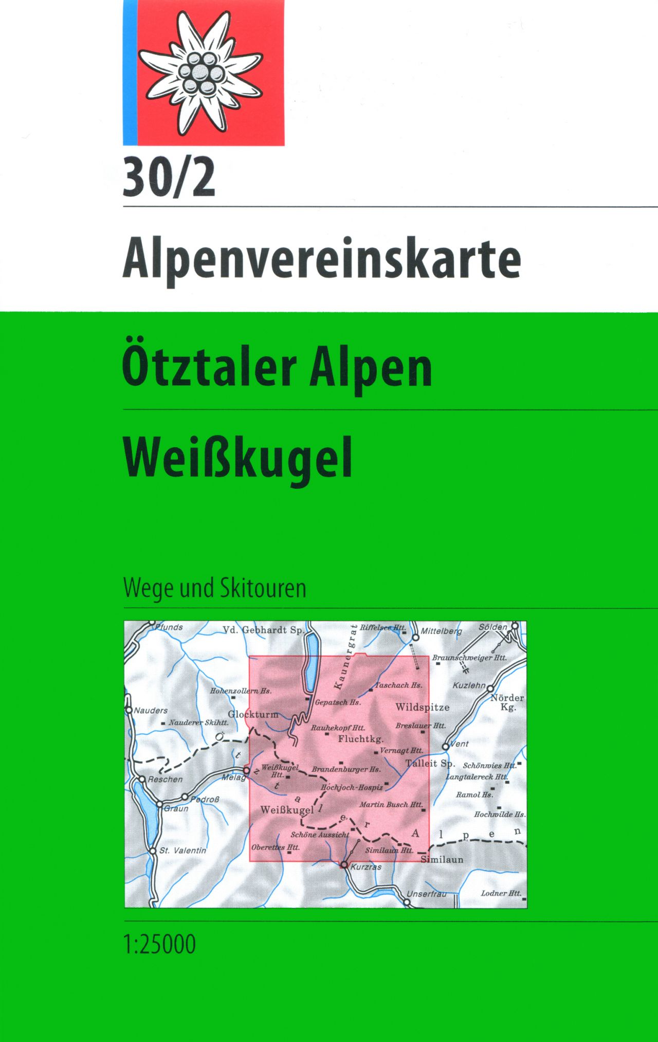
- Wandelkaart 30/2 Alpenvereinskarte Ötztaler Alpen - Weißkugel | Alpenverein
- De beste en meest gedetailleerde kaarten van met name de Oostenrijkse alpen: wandelroutes zijn naar zwaarte onderscheidend gemarkeerd, gletsjeroverschrijdingen staan aangegeven en de verschillende soorten hutten ingetekend. Met als ondergrond de topografische kaarten bieden ze een schat aan informatie voor elke beginnende en gevorderde... Read more
- Also available from:
- Stanfords, United Kingdom

United Kingdom
- Otztal Alps - Weisskugel Alpenverein KOMBI Map 30/2
- Ötztaler Alps: Weißkugel area of the Alps in a combined hiking and ski edition at 1:25,000 from a series of detailed, GPS compatible maps published by the DAV - Deutscher Alpenverein and produced by the German and Austrian Alpine Clubs using cartography from their respective survey organizations. Maps in this series have topography vividly... Read more

Netherlands
- Wandelkaart 2558 Europäischer Fernwanderweg E5 | Kompass
- Ideal für die Planung und für unterwegs! • Übersichtliche Karten im idealen Maßstab 1:50 000 • Handliches Format 100 x 175 mm • Reiß- und wetterfestes Papier – ideal für jede Witterung • Kompakte Reiseführer-Infos zu den Highlights am Weg und Übernachtungsverzeichnis • Extra Stadtpläne mit Infos zu Apotheken, Geldautomaten, Werkstätten usw. Read more
- Also available from:
- Stanfords, United Kingdom

United Kingdom
- Lake Constance to Verona - E5 European Long-Distance Trail Kompass 2558
- The 601km eastern half of Europe’s E5 long distance footpaths from Lake Constance across the Austrian Alps to Verona on a waterproof and tear-resistant, contoured and GPS compatible concertina map from Kompass presenting the route on 40 panels, each 17.5x20cm. Plus accommodations recommendations and street plans.The route is highlighted on maps... Read more

Netherlands
- Wandelkaart 12 Laghi Maggiore, d'Orta e di Varese | IGC - Istituto Geografico Centrale
- Lake Maggiore - Lake Orta - Lake Varase, map no. 12, in a series contoured hiking maps at 1:50,000 with local trails, long-distance footpaths, mountain accommodation, etc. from the Turin based Istituto Geografico Centrale covering the Italian Alps and Piedmont, the lakes and northern Lombardy, and the Italian Riviera.The maps have contours at... Read more

Netherlands
- Wandelkaart 24 Il Cuneese - Cuneo | IGC - Istituto Geografico Centrale
- Il Cuneese, map no. 24, in a series contoured hiking maps at 1:50,000 with local trails, long-distance footpaths, mountain accommodation, etc. from the Turin based Istituto Geografico Centrale covering the Italian Alps and Piedmont, the lakes and northern Lombardy, and the Italian Riviera.The maps have contours at 50m intervals, enhanced by... Read more
- Also available from:
- Stanfords, United Kingdom

United Kingdom
- Il Cuneese: Cuneo - Saluzzo - Carmagnola 75K IGC Map No. 24
- Il Cuneese area of Piedmont, including Cuneo, Saluzzo and Carmagnola, at 1:75,000 in a series contoured hiking maps with local trails, long-distance footpaths, mountain accommodation, etc. from the Turin based Istituto Geografico Centrale. This title also includes an overprint showing cycle routes.Maps in this series have contours at 50m... Read more

Netherlands
- Wandelkaart 15 Finale Ligure Alassio Savona | IGC - Istituto Geografico Centrale
- The coast of the Italian Riviera around Albenga, Alassio and Savona in a series contoured hiking maps at 1:50,000 with local trails, long-distance footpaths, mountain accommodation, etc. from the Turin based Istituto Geografico Centrale.Maps in this series have contours at 50m intervals, enhanced by shading and graphic relief. An overprint... Read more
- Also available from:
- Stanfords, United Kingdom

United Kingdom
- Finale Ligure - Alassio - Savona IGC 15
- The coast of the Italian Riviera around Albenga, Alassio and Savona in a series contoured hiking maps at 1:50,000 with local trails, long-distance footpaths, mountain accommodation, etc. from the Turin based Istituto Geografico Centrale.Maps in this series have contours at 50m intervals, enhanced by shading and graphic relief. An overprint... Read more
Netherlands
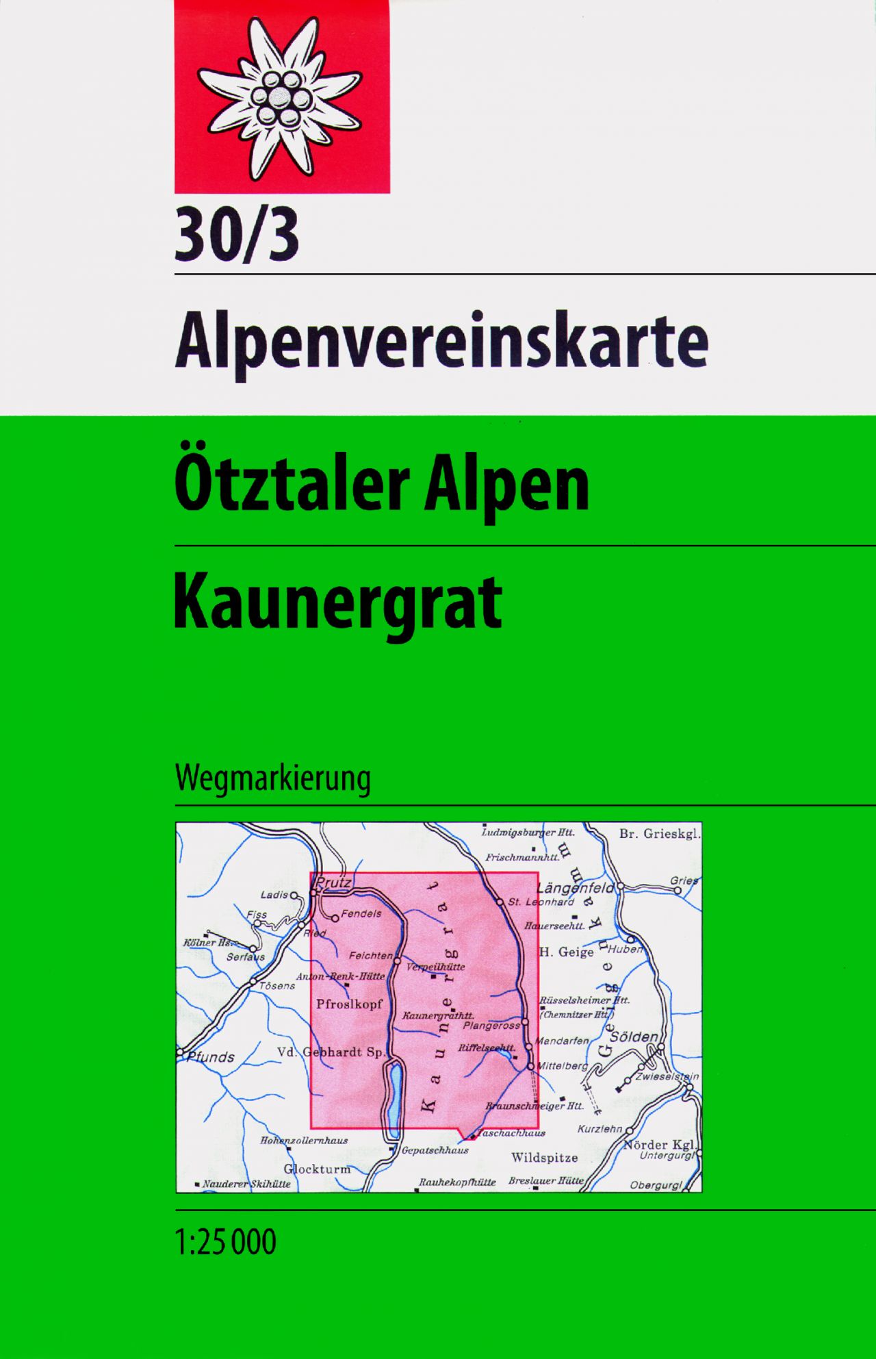
- Wandelkaart 30/3 Alpenvereinskarte Ötztaler Alpen - Kaunergrat | Alpenverein
- De beste en meest gedetailleerde kaarten van met name de Oostenrijkse alpen: wandelroutes zijn naar zwaarte onderscheidend gemarkeerd, gletsjeroverschrijdingen staan aangegeven en de verschillende soorten hutten ingetekend. Met als ondergrond de topografische kaarten bieden ze een schat aan informatie voor elke beginnende en gevorderde... Read more
- Also available from:
- Stanfords, United Kingdom

United Kingdom
- Otztal Alps - Kaunergrat Alpenverein KOMBI Map 30/3
- Ötztaler Alps: Kaunergrat area of the Alps in a hiking edition at 1:25,000 from a series of detailed, GPS compatible maps published by the DAV - Deutscher Alpenverein and produced by the German and Austrian Alpine Clubs using cartography from their respective survey organizations. Maps in this series have topography vividly presented by... Read more