
Alta Via dei Monti Liguri
Beschreibung
- Name Alta Via dei Monti Liguri (AVML)
- Länge von Wanderweg 442 km, 275 Meilen
- Länge in Tagen 22 Tage


AV

442 km.
Select some tracks
☐Folta - Monte Bagastese - Alta Via dei Monti Liguri, 5.2km
☐La Pianaccia - Madrignano - Novegina di Cima - Nasso - Calice al Cornoviglio - Santa Maria - Le Cassorane - Bivio AVML, 12km
☐Casa Maestra - Giandì - Ponte Garolo - Costa dei Tosi - Fontana Fredda - Bivio AVML, 13km
☐Bivio AVML (Cardeia) - Casa Menage - Prato del Malone (Strada dei carrelli), 5.7km
☐Bivio AVML - Tirolo - Case Solegnana - Case Cavanon - Bagatello, 3.8km
☐relation mantained by AlfredoSP (CAI-SP), 2.5km
☐Ponte Parano – Cadonica – Passo del Cavallo – Sorgenti del Vara - Bivio AVML, 8.5km
☐Santa Maria Mezzano - Campeggi - La Rocchetta (Alta Via dei Monti Liguri), 5.6km
☐relation maintained by Capataz (CAI Parma), 3.6km
☐Collegamento AVML - Sentiero cerchio barrato, 3.5km
☐Raccordo AVML, 3.5km
☐Raccordo AVML: Ventarola - Passo della Ventarola Nord, 3.1km
☐Farfanosa - AVML, 3.7km
☐Sentiero Balcone, 6.2km
☐Collegamento AVG-AVML, 5.7km
☐(no name), 9.2km


Links
Fakten
Berichte
Führer und Karten
Übernachtung
Organisationen
Reisebüros
GPS
Sonstiges
Bücher
De Zwerver
Netherlands
2011
Netherlands
2011
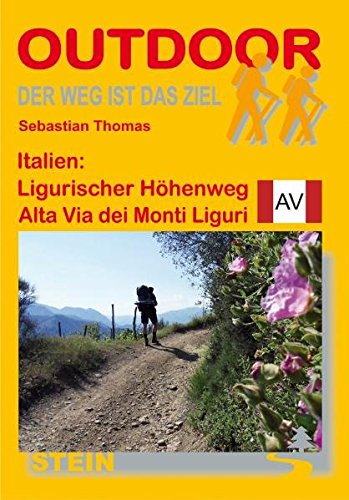
- Wandelgids Ligurischer Höhenweg Alta Via dei Monti Liguri | Conrad Stein Verlag
- Der ligurische Höhenweg ist ein markierter Fernwanderweg, der Ligurien der Länge nach durchmisst. Der Ausgangspunkt liegt in Ventimilia an der französischen Grenze, das Ziel befindet sich in Ceparana, einem kleinen Städtchen vor den Toren La Spezias. Dazwischen liegen 440 km Wegstrecke. Zu Beginn prägt die grandiose Hochgebirgskulisse der... Read more

The Book Depository
United Kingdom
2011
United Kingdom
2011
- Trekking in the Alps
- An inspirational guidebook to 20 classic treks in the Alps. As well as introducing new hiking areas in the Alps, classics such as the Tour of Mont Blanc, and Chamonix to Zermatt are included. Trekking in the Alps is immensely satisfying, and this book celebrates the rich and scenic diversity for which this great mountain range is renowned. Read more
- Also available from:
- De Zwerver, Netherlands
- Stanfords, United Kingdom
- Bol.com, Netherlands
- Bol.com, Belgium

De Zwerver
Netherlands
2019
Netherlands
2019
- Wandelgids Trekking in the Alps | Cicerone
- An inspirational guidebook to 20 classic treks in the Alps. As well as introducing new hiking areas in the Alps, classics such as the Tour of Mont Blanc, and Chamonix to Zermatt are included. Trekking in the Alps is immensely satisfying, and this book celebrates the rich and scenic diversity for which this great mountain range is renowned. Read more

Stanfords
United Kingdom
2011
United Kingdom
2011
- Alps Trekking
- An inspirational walking guide to 20 summer treks in the European Alps in Italy, Austria, Switzerland, France and Slovenia, by 8 Alpine trekking experts, including the classics such as the Tour of Mont Blanc and lesser-known routes like the Traverse of the Slovenian Alps. All the rich scenic diversity for which the Alps are renowned is... Read more

Bol.com
Netherlands
2011
Netherlands
2011
- Trekking in the Alps
- An inspirational guide to the delights of Alpine multi-day hikes. With 20 hikes described, including classics such as the Tour of Mont Blanc and the Tour of the Vanoise as well as new multi-day routes like the Traverse of the Slovenian Alps, this guide celebrates the rich scenic diversity for which the Alps are renowned.The eight talented... Read more
Bol.com
Belgium
2011
Belgium
2011
- Trekking in the Alps
- An inspirational guide to the delights of Alpine multi-day hikes. With 20 hikes described, including classics such as the Tour of Mont Blanc and the Tour of the Vanoise as well as new multi-day routes like the Traverse of the Slovenian Alps, this guide celebrates the rich scenic diversity for which the Alps are renowned.The eight talented... Read more
Karten

Stanfords
United Kingdom
United Kingdom
- Monti Sibillini National Park Edizioni Multigraphic 60/61
- Monti Sibillini National Park at 1:25,000 on a double-sided contoured map from Edizioni Multigraphic highlighting local waymarked hiking routes including the GAS – Grand Anello dei Sibilini, the circular tour around the mountains.The map has contours at 25m intervals with colouring for woodlands. Waymarked routes are highlighted and annotated... Read more

Stanfords
United Kingdom
United Kingdom
- Gruppi Argentera e Marguareis Edizioni Multigraphic 109/115
- Gruppi Argentera e Marguareis, map no. 109/115 at 1:25,000 from Edizioni Multigraphic covering the Italian Alps along the southern part of the border between Piedmont and France, south of Cuneo. Coverage includes the Pallanfre Reserve, Colle di Tenda / Col de Tende, and Parco Naturale Valle Pesio. Map corners give latitude and longitude based... Read more

Stanfords
United Kingdom
United Kingdom
- La Spezia Province: Golfo della Spezia - Val di Marga 25K Ed. Multigraphic Map No. SP2
- The Gulf of La Spezia and Val di Magra, the eastern part of the La Spezia Province, presented at 1:25,000 on a contoured and GPS compatible map from Edizioni Multigraphic showing local paths with their official numbers, long distance routes, etc. Contours at 20m intervals with relief shading and plenty of spot heights show the topography. Local... Read more

Stanfords
United Kingdom
United Kingdom
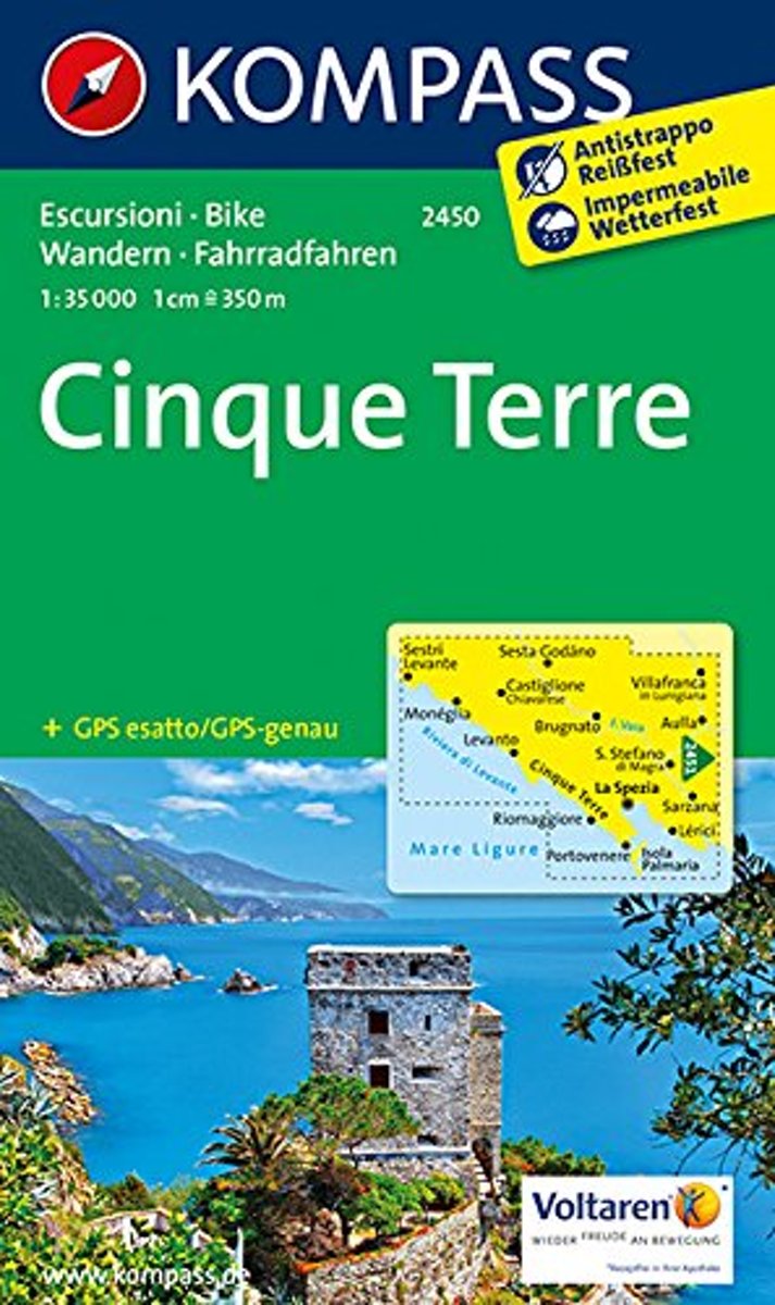
- Cinque Terre Kompass 2450
- Cinque Terra area of the Ligurian Coast on a double-sided, contoured and GPS compatible recreational map at 1:50,000 from Kompass, printed on durable, waterproof and tear-resistant synthetic paper. Coverage Montemarcello Magra Regional Park. In addition to numerous local hiking trails and long-distance routes such as the Alta Via dei Monti... Read more

Stanfords
United Kingdom
United Kingdom
- Riviera di Ponente - Albisola Marina to Noli Edizioni Multigraphic 103
- Map No. 103, covering at 1:25,000 the coast of the Italian Riviera from Albisola Marina across Savona to Noli and inland to Altare. The map is part of a series of walking maps from Edizioni Multigraphic covering the Ligurian Alps and the coast, the crest of the Apennines along the border between Tuscany with the neighbouring regions, and parts... Read more

Stanfords
United Kingdom
United Kingdom
- Alta Via dei Monti Liguri Western Part: from Passo del Faiallo to Passo dei Giovi 25K Ed. Multigraphic Map No. AVML1
- Alta Via dei Monti Liguri in the Genoa Province: the western part from Passo del Faiallo to Passo dei Giovi presented at 1:25,000 on a contoured and GPS compatible map from Edizioni Multigraphic showing the high route and local paths, refuges, places of interest, plus on the reverse lovely drawings of local views and monuments.Contours at 20m... Read more

Stanfords
United Kingdom
United Kingdom
- Alta Via dei Monti Liguri Central - Passo dei Giovi to Sella Giassina
- Alta Via dei Monti Liguri in the Genoa Province: the central part from Passo dei Giovi to Sella Giassina presented at 1:25,000 on a contoured and GPS compatible map from Edizioni Multigraphic showing the high route and local paths, refuges, places of interest, plus on the reverse lovely drawings of local views and monuments.Contours at 20m... Read more

Stanfords
United Kingdom
United Kingdom
- Alta Via dei Monti Liguri Eastern Part: From Sella Giassina to Passo del Bocco 25K Ed. Multigraphic Map No. AVML3
- Alta Via dei Monti Liguri in the Genoa Province: the eastern part from Sella Giassina to Passo del Bocco presented at 1:25,000 on a contoured and GPS compatible map from Edizioni Multigraphic showing the high route and local paths, refuges, places of interest, plus on the reverse lovely drawings of local views and monuments.Contours at 20m... Read more
Stanfords
United Kingdom
United Kingdom
- Riviera di Ponente: Finale Ligure to Albenga 25K Ed. Multigraphic Map No. 104
- Map No. 104, covering at 1:25,000 the coast of the Italian Riviera from Finale Ligure to Albenga and inland beyond Monte Carmo. The map is part of a series of walking maps from Edizioni Multigraphic covering the Ligurian Alps and the coast, the crest of the Apennines along the border between Tuscany with the neighbouring regions, and parts of... Read more
Bol.com
Netherlands
Netherlands
- Kompass WK2450 Cinque Terre
- Deze Kompass wandelkaart is ideaal om uw route uit te stippelen en om onderweg te gebruiken • naast de bekende bestemmingen, worden ook de minder bekende vermeld • openbaar vervoer bij begin- of eindpunt van een route aangegeven • eenvoudige wandelingen tot pittige (berg)tochten, voor getrainde en ongetrainde wandelaars • met heel veel nieuwe... Read more
- Also available from:
- Bol.com, Belgium
Bol.com
Belgium
Belgium
- Kompass WK2450 Cinque Terre
- Deze Kompass wandelkaart is ideaal om uw route uit te stippelen en om onderweg te gebruiken • naast de bekende bestemmingen, worden ook de minder bekende vermeld • openbaar vervoer bij begin- of eindpunt van een route aangegeven • eenvoudige wandelingen tot pittige (berg)tochten, voor getrainde en ongetrainde wandelaars • met heel veel nieuwe... Read more