
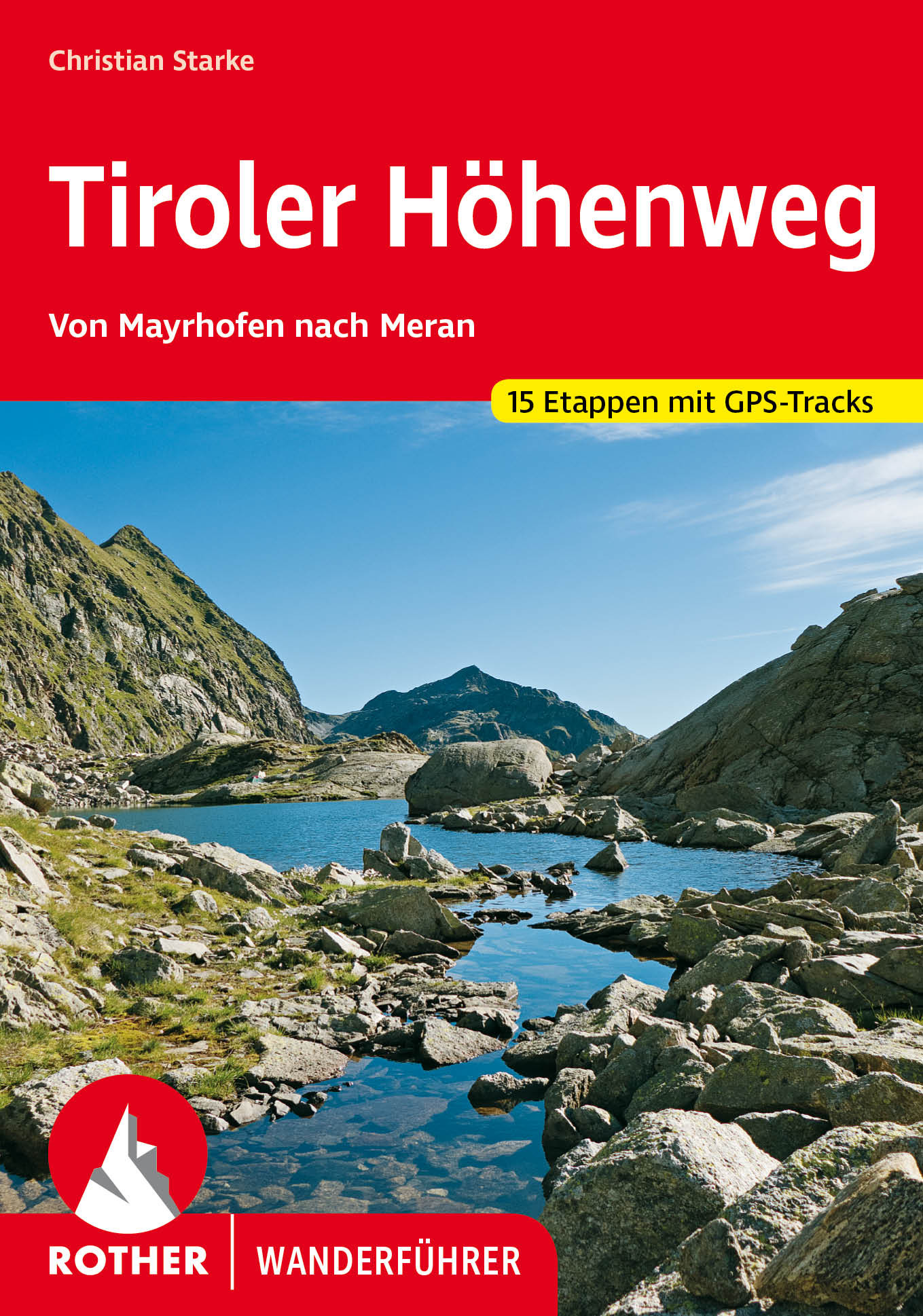
Tiroler Höhenweg
Beschreibung
- Name Tiroler Höhenweg
- Länge von Wanderweg 130 km, 81 Meilen
- Länge in Tagen 11 Tage
- Anfang von Wanderweg Mayrhofen
- Ende von Wanderweg Merano
- Traildino Schwierigkeit SW, Anspruchsvolle Wanderung, Bergwanderung
- Schwierigkeitsgrad Berg- und Alpinwanderung T2, Bergwandern

Tiroler Höhenweg, Mayrhofen (Austria) to Merano (Italy), 130 km, 11 days
The Tiroler Höhenweg combines Nord Tirol in Austria and Süd Tirol in Italy. The trail starts in Mayrhofen, centre of the Zillertal. In about 11 days (some will need more time, others maybe one or two days less) one crosses the entire region, up till the Italian city of Merano. This involves a lot of going up and down, up till passes of some 2.800 m.
By the time you arive in Merano, you will have climbed 9.000 m, descended 10.000 of them, slept in 5 mountain huts and some 5 village hotels. A sportive trail, but not a difficult one, for healthy hikers.
Karte

Links
Fakten
Berichte
Führer und Karten
Übernachtung
Organisationen
Reisebüros
GPS
Sonstiges
Bücher
De Zwerver
Netherlands
2022
Netherlands
2022
- Wandelgids Tiroler Höhenweg | Rother Bergverlag
- Uitstekende beschrijvingen van deze steeds populairder wordende bergtocht! Goede routebeschrijving, veel praktische informatie, hoogteprofielen en redelike kaartjes. Met alle noodzakelijke info. Zie voor beschrijving de duitse tekst hieronder ... Der Tiroler Höhenweg ist ein hochalpiner Weitwanderweg der Superlative, der in grandioser... Read more