
Trollheimen
Beschreibung

South of Trondheim, the principal city in central Norway, lies Trollheimen, an area consisting of several plateaus and valleys reaching out to the fjords. As you will understand, Trollheimen means "home of the Trolls", just as Jotunheimen is "home of the Giants". This is a tourist name, actually, albeit a very old one, invented in the 1880's.
Maybe the entrance from the west, is the best in this case. Innerdalen is a beloved valley, with a lush vegetation, and surrounded by high mountains. From Innerdalen continue to the north east, and enter the mountains and valleys of Trollheimen. In its center lie Trollheimshytta, Gjevilvasshytta and Jøldalshytta with the most popular hikes around. From here, several mountains can be climbed. Of course, many huts from DNT and the Trondheim mountain organisation are at your disposal.
Karte

Links
Fakten
Berichte
Führer und Karten
Übernachtung
Organisationen
Reisebüros
GPS
Sonstiges
Karten
Netherlands
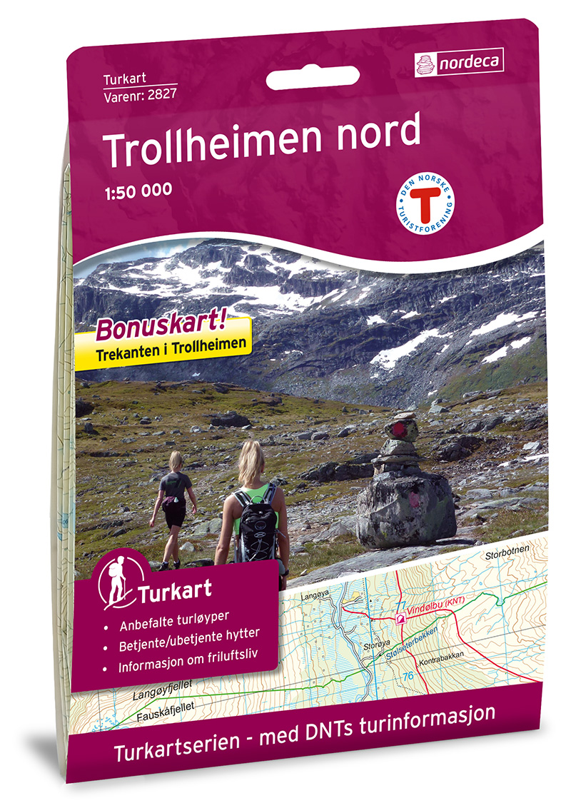
- Wandelkaart 2827 Turkart Trollheimen - Nord | Nordeca
- Uitstekende wandelkaart van een deel van Noorwegen. De Noren zelf gebruiken deze kaarten ook voor hun wandeltochten in de berggebieden. Afhankelijk van de moeilijkheidsgraad van het gebied voldoet een 1:25.000, 1:50.000 of 1:100.000 kaart. Gebied: Surnadalen i nord til Trollheimshytta i sør og fra Todalen i vest til Jølfjellet i øst. Alle... Read more
Netherlands
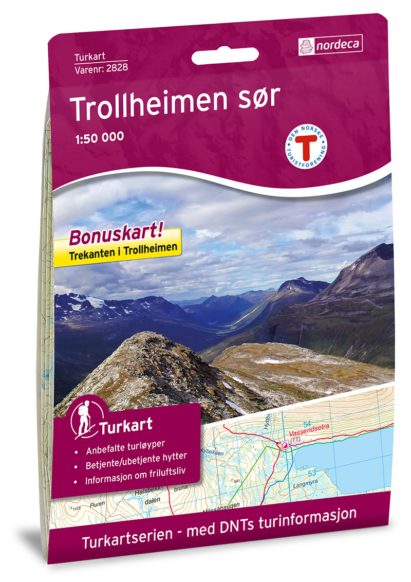
- Wandelkaart 2828 Turkart Trollheimen - Sør | Nordeca
- Uitstekende wandelkaart van een deel van Noorwegen. De Noren zelf gebruiken deze kaarten ook voor hun wandeltochten in de berggebieden. Afhankelijk van de moeilijkheidsgraad van het gebied voldoet een 1:25.000, 1:50.000 of 1:100.000 kaart. Alle noodzakelijke informatie vind je er op terug: bemande en onbemande hutten, campings,... Read more

United Kingdom
- Trollheimen North Nordeca 2827
- Trollheimen area in Norway in a series of GPS compatible recreational maps at 1:50,000 with cartography from Norway’s topographic survey and additional tourist information. Contours lines are drawn at 20m intervals. The overprint varies from title to title, but includes local footpaths, in some cases distinguishing between easy and more... Read more

United Kingdom
- Trollheimen South Nordeca 2828
- Trollheimen area in Norway in a series of GPS compatible recreational maps at 1:50,000 with cartography from Norway’s topographic survey and additional tourist information. Contours lines are drawn at 20m intervals. The overprint varies from title to title, but includes local footpaths, in some cases distinguishing between easy and more... Read more