
GR36 Sierra de Espadán
Beschreibung
- Name GR36 Sierra de Espadán (GR36)
- Länge von Wanderweg 65 km, 40 Meilen
- Länge in Tagen 4 Tage
- Traildino Schwierigkeit MW, Mittelschwere Wanderung mit Rucksack
- Schwierigkeitsgrad Berg- und Alpinwanderung T1, Wandern


36
Sierra de Espadán, GR36 Sierra de Espadán. 65 km, 4 stages. Valencia
Select some tracks
☐GR36 - Grande Rota do Douro Internacional, 186km
Karte

Links
Fakten
Berichte
Führer und Karten
Übernachtung
Organisationen
Reisebüros
GPS
Sonstiges
Bücher
De Zwerver
Netherlands
2014
Netherlands
2014
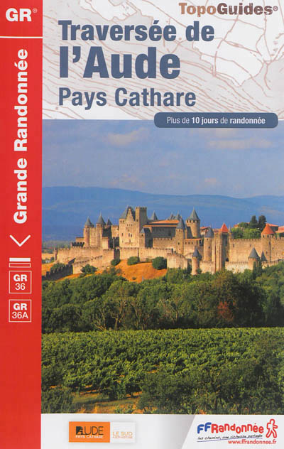
- Wandelgids 360 Traversée de l'Aude - Pays Cathare GR36 - GR36A | FFRP
- Guide FFRandonnée Traversée de l'Aude - Pays Cathare - 360 - GR36 , 36A150 km de sentiers au cœur de l'Occitanie, à la rencontre des richesses naturelles et patrimoniales de l'Aude, Pays Cathare.Cheminant de la Normandie à l'Espagne, le GR® 36 traverse l'Aude de part en part, du nord au sud. Frais ombrages du Canal du Midi, Cité médiévale de... Read more
- Also available from:
- Stanfords, United Kingdom

Stanfords
United Kingdom
2014
United Kingdom
2014
- GR36/36A: Traversée de l`Aude - Pays Cathare FFRP Topo-guide No. 360
- Traversée de l`Aude - Pays Cathare, FFRP topoguide Ref. No.360, covering the 150km long GR360 across the department of Aude in south-western France from the Montaigne Noire via Carcassonne to St-Paul-de-Fenouillet in the Pyrenees. Several variants from the southern half of the route offer possibilities for shorter local tours. Current edition... Read more

Stanfords
United Kingdom
2012
United Kingdom
2012
- GR62B/GR36/GR46 Le Chemin de Conques à Toulouse FFRP Topo-guide No. 3646
- Le Chemin de Conques à Toulouse, FFRP topoguide Ref. no. 3646, covering 563kms of various GR routes in the region of Quercy and the Gorges of the Aveyron between Conques and Cahors in the north and Toulouse and Albi in the south: le Chemin de Conques à Toulouse along the GR62B, 36 and 46; GR 36 from Cahors to Albi; GR46 along the Gorges of the... Read more
Karten

Stanfords
United Kingdom
2019
United Kingdom
2019
- Pyrénées Orientales et tours du Capcir, du Carlit et de Cerdagne GR10/GR36
- More than 30 days of hiking, including 12 to join Banyuls in Mérens-les-Vals.Pyrénées Orientales, FFRP topoguide, Ref. No. 1092, covering the fourth and last section of the GR10 along the Pyrenees from the Atlantic to the Mediterranean – a 196-km long walk from Mérens-les-Vals to Banyuls-sur-Mer. The guide also covers a 177-km trail along the... Read more