
Ticino
Beschreibung
Karte

Wanderwege Region
Links
Fakten
Berichte
Führer und Karten
Übernachtung
Organisationen
Reisebüros
GPS
Sonstiges
Bücher

The Book Depository
United Kingdom
2023
United Kingdom
2023
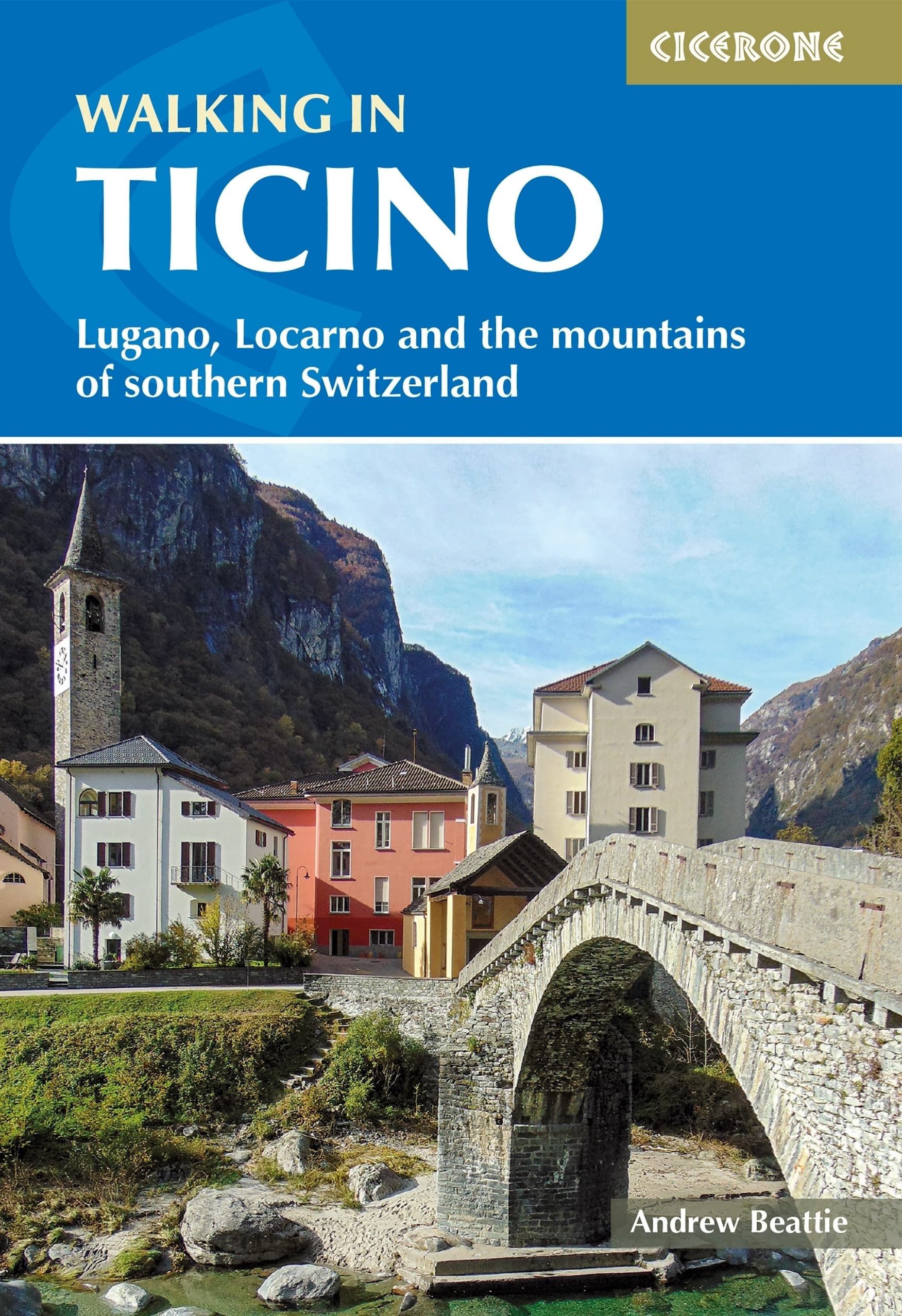
- Walking in Ticino
- Lugano, Locarno and the mountains of southern Switzerland Read more
- Also available from:
- De Zwerver, Netherlands
De Zwerver
Netherlands
2023
Netherlands
2023
- Wandelgids Walking in Ticino | Cicerone
- Lugano, Locarno and the mountains of southern Switzerland Read more

- Also available from:
- De Zwerver, Netherlands
De Zwerver
Netherlands
2012
Netherlands
2012
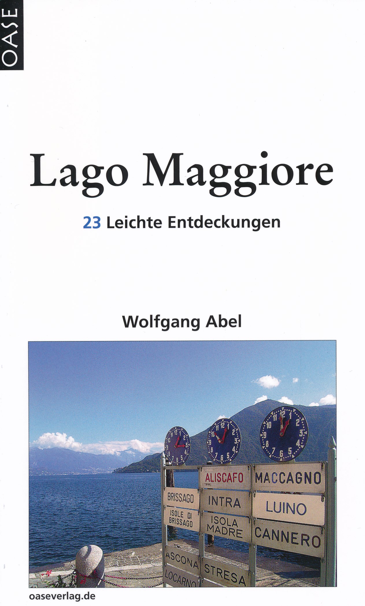
- Reisgids Lago Maggiore | Oase Verlag
- 23 Leichte Entdeckungen. 6. Auflage 2012. Read more

De Zwerver
Netherlands
2017
Netherlands
2017
- Wandelgids 411 Kautokeino - Nordkap E1 | Conrad Stein Verlag
- Handzaam boekje met de routebeschrijving inclusief een heleboel praktische informatie. De beschrijving is uitstekend, maar kaarten zijn wat beperkt. Duits. Die 330 km lange Wanderung auf dem E1 von Kautokeino zum Nordkap ist ein unvergessliches Wanderabenteuer. In 15 Etappen laufen Sie durch die Wildnis Nordnorwegens und überqueren die... Read more

De Zwerver
Netherlands
2022
Netherlands
2022
De Zwerver
Netherlands
2022
Netherlands
2022
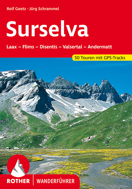
- Wandelgids Surselva | Rother Bergverlag
- Uitstekende wandelgids met een groot aantal dagtochten in dal en hooggebergte. Met praktische informatie en beperkt kaartmateriaal! Wandelingen in verschillende zwaarte weergegeven in rood/blauw/zwart. Die Surselva, auch bekannt unter den Bezeichnungen ",Bündner Oberland" oder "Vorderrheintal", ist außerhalb der Schweiz noch... Read more


De Zwerver
Netherlands
2016
Netherlands
2016
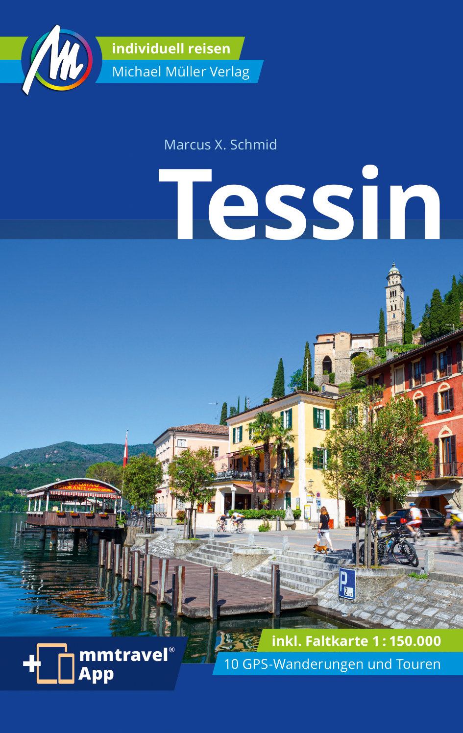
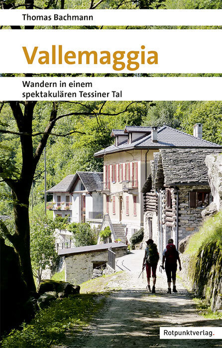
- Wandelgids Tessin | Rother Bergverlag
- De ‘Rother Wanderbücher’ behandelen telkens de 50 mooiste wandelingen, die variëren van eenvoudige kindvriendelijke wandelingen tot routes die aanzienlijk meer ervaring vereisen. Uitvoerige routebeschrijvingen, een aantrekkelijke lay-out met vele kleurenfoto’s, niets aan duidelijkheid te wensen gelaten hoogteprofielen, kaartjes met de... Read more
Karten

The Book Depository
United Kingdom
United Kingdom
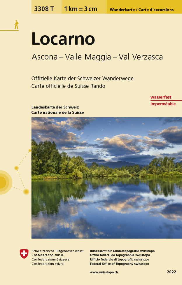
- Locarno
- Een nieuwe serie van de Zwitserse topografische dienst: eindelijk goede wandelkaarten met ingetekende wandelroutes op scheur- en watervast papier. Vooralsnog zijn ze uitgebracht van de populaire wandelgebieden en niet landelijk dekkend (zie overzicht) Op een gedetailleerde schaal van 1:33.333 met als ondergrond de onovertroffen topografische... Read more
- Also available from:
- De Zwerver, Netherlands
- Stanfords, United Kingdom
De Zwerver
Netherlands
Netherlands
- Wandelkaart - Topografische kaart 3308T Locarno | Swisstopo
- Een nieuwe serie van de Zwitserse topografische dienst: eindelijk goede wandelkaarten met ingetekende wandelroutes op scheur- en watervast papier. Vooralsnog zijn ze uitgebracht van de populaire wandelgebieden en niet landelijk dekkend (zie overzicht) Op een gedetailleerde schaal van 1:33.333 met als ondergrond de onovertroffen topografische... Read more

Stanfords
United Kingdom
United Kingdom
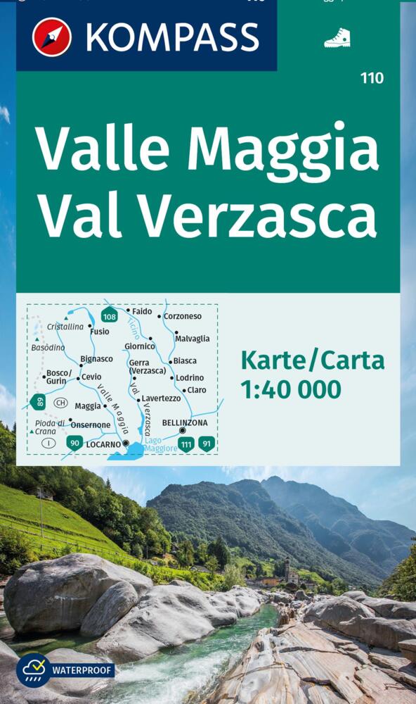
- Locarno - Ascona - Valle Maggia - Val Verzasca Swisstopo Hiking 3308T
- Locarno - Ascona - Valle Maggia - Val Verzasca area of Ticino at 1:33,333 on light, waterproof and tear-resistant map No. 3308T published by Swisstopo in cooperation with the Swiss Hiking Federation. Cartography is the same as in Swisstopo’s 50K hiking maps, simply enlarged to 1:33,333 for extra clarity but without additional information.... Read more
De Zwerver
Netherlands
Netherlands
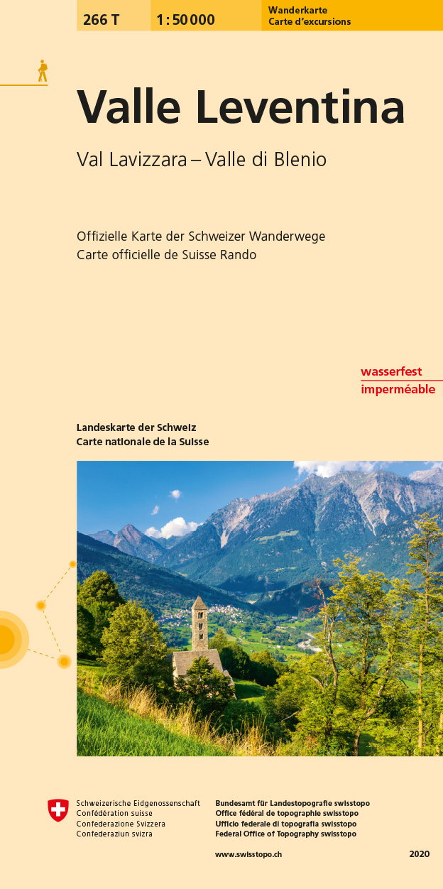
- Wandelkaart 266T Valle Leventina | Swisstopo
- Valle Leventina area, map No. 266T, at 1:50,000 in a special hiking edition of the country Read more
- Also available from:
- Stanfords, United Kingdom

Stanfords
United Kingdom
United Kingdom
- Valle Leventina Swisstopo Hiking 266T
- Valle Leventina area, map No. 266T, at 1:50,000 in a special hiking edition of the country’s topographic survey, published by Swisstopo in cooperation with the Swiss Hiking Federation. Cartography, identical to the standard version of the survey, is highly regarded for its superb use of graphic relief and hill shading to provide an almost 3-D... Read more
De Zwerver
Netherlands
Netherlands
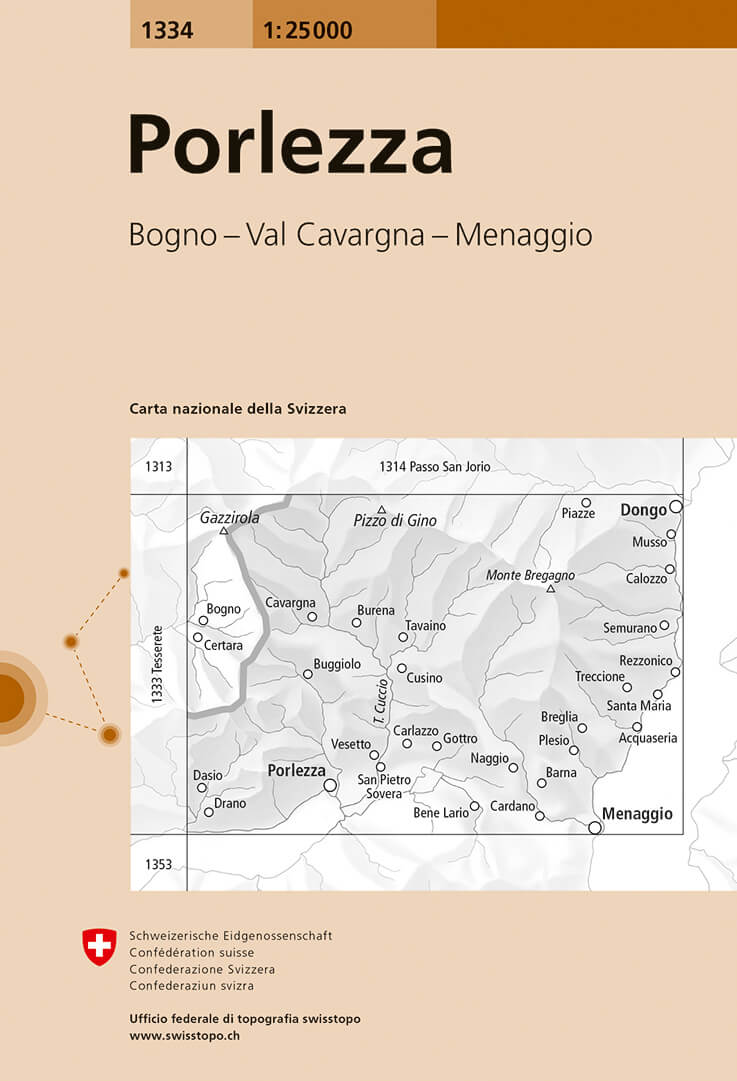
- Wandelkaart - Topografische kaart 1334 Porlezza | Swisstopo
- Map No. 1334, Porlezza, in the topographic survey of Switzerland at 1:25,000 from Bundesamt f Read more
- Also available from:
- Stanfords, United Kingdom

Stanfords
United Kingdom
United Kingdom
- Porlezza Swisstopo 1334
- Map No. 1334, Porlezza, in the topographic survey of Switzerland at 1:25,000 from Bundesamt für Landestopographie (swisstopo), covering the whole country on 247 small format sheets, with special larger maps published for popular regions including some titles now available in hiking versions.Highly regarded for their superb use of graphic relief... Read more
De Zwerver
Netherlands
Netherlands
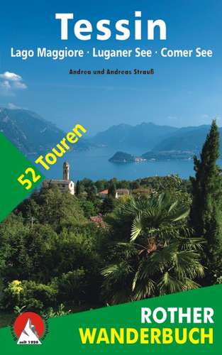
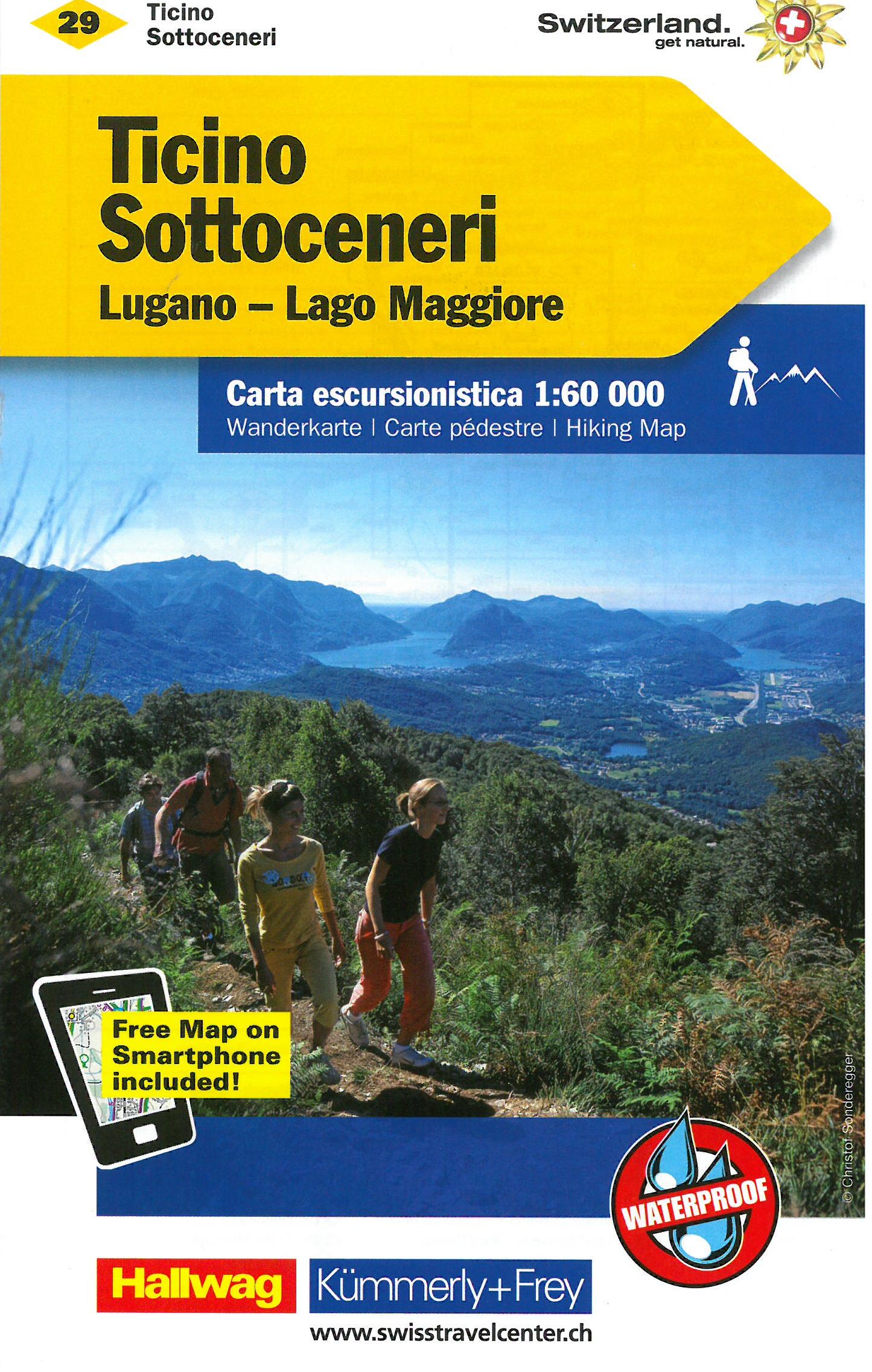
- Wandelkaart 29 Tessin - Sottoceneri - Lugano - Lago Maggiore | Kümmerly & Frey
- Zeer duidelijke wandelkaart van een deel van Zwitserland. Deze kaart - gemaakt op scheur en watervast papier - is bedoeld voor de gewone en gemiddelde bergwandelaar. Ook voor huttentochten is deze zeker geschikt. Slechts voor de gevorderde wandelaar die glesjers gaat overschrijden zijn de 25.000 topografische kaarten aan te raden. Op deze... Read more
De Zwerver
Netherlands
Netherlands
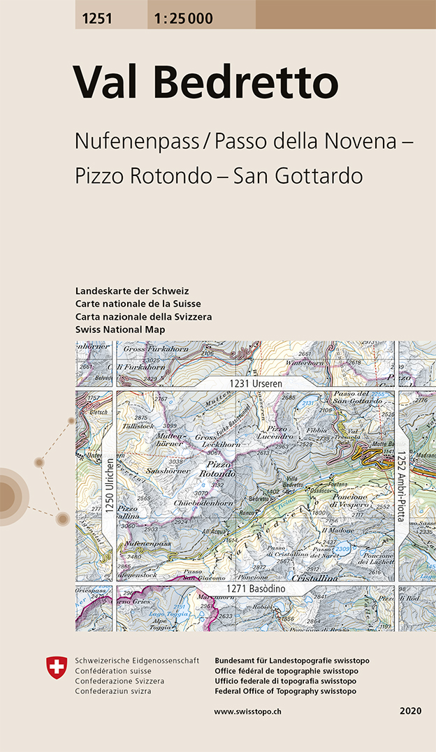
- Wandelkaart - Topografische kaart 1251 Val Bedretto | Swisstopo
- Map No. 1251, Val Bedretto, in the topographic survey of Switzerland at 1:25,000 from Bundesamt f Read more
- Also available from:
- Stanfords, United Kingdom
Stanfords
United Kingdom
United Kingdom
- Val Bedretto Swisstopo 1251
- Map No. 1251, Val Bedretto, in the topographic survey of Switzerland at 1:25,000 from Bundesamt für Landestopographie (swisstopo), covering the whole country on 247 small format sheets, with special larger maps published for popular regions including some titles now available in hiking versions.Highly regarded for their superb use of graphic... Read more
De Zwerver
Netherlands
Netherlands
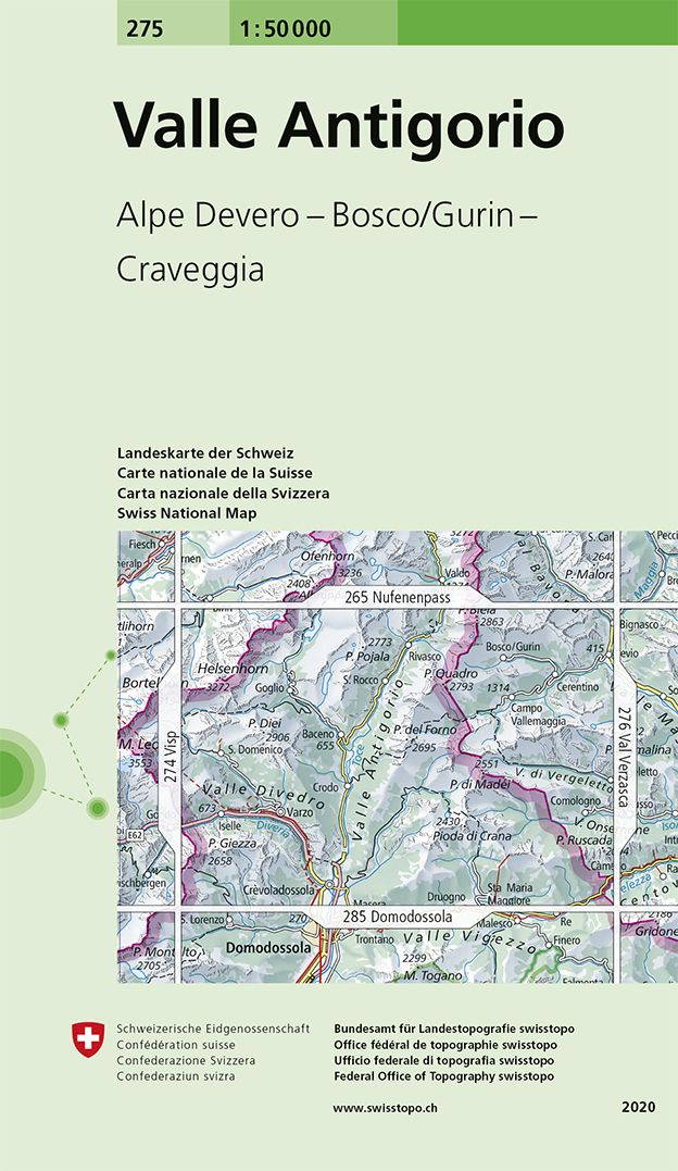
- Wandelkaart - Topografische kaart 275 Valle Antigorio | Swisstopo
- Valle Antigorio, map No. 275, in the standard topographic survey of Switzerland at 1:50,000 from Swisstopo, i.e. without the special overprint highlighting walking trails, local bus stops, etc, presented in Swisstopo Read more
- Also available from:
- Stanfords, United Kingdom

Stanfords
United Kingdom
United Kingdom
- Valle Antigorio Swisstopo 275
- Valle Antigorio, map No. 275, in the standard topographic survey of Switzerland at 1:50,000 from Swisstopo, i.e. without the special overprint highlighting walking trails, local bus stops, etc, presented in Swisstopo’s hiking editions of the 50K survey. The map covers mainly the Italian side of the border.Highly regarded for their superb use of... Read more
De Zwerver
Netherlands
Netherlands
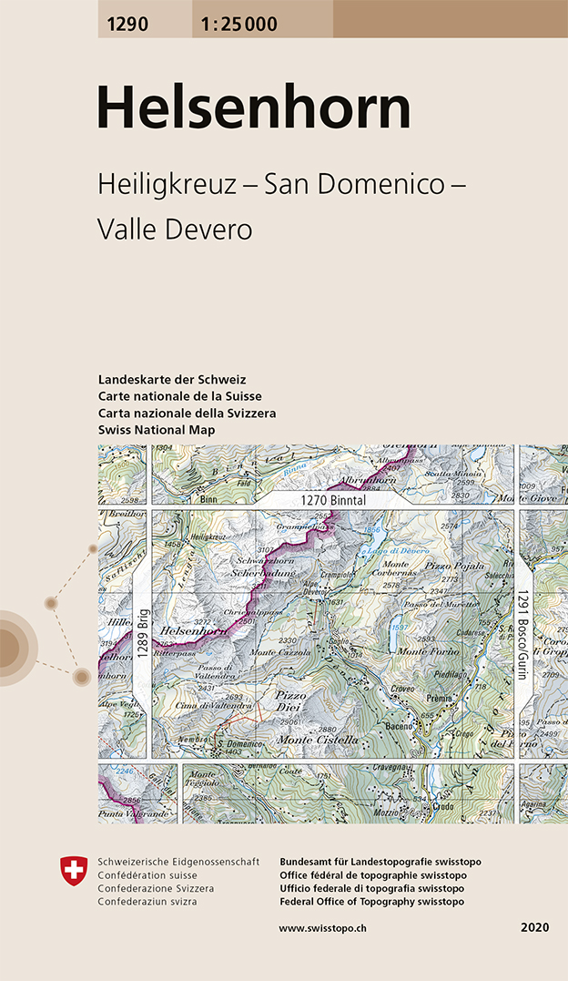
- Wandelkaart - Topografische kaart 1290 Helsenhorn | Swisstopo
- Map No. 1290, Helsenhorn, in the topographic survey of Switzerland at 1:25,000 from Bundesamt f Read more
- Also available from:
- Stanfords, United Kingdom
Stanfords
United Kingdom
United Kingdom
- Helsenhorn Swisstopo 1290
- Map No. 1290, Helsenhorn, in the topographic survey of Switzerland at 1:25,000 from Bundesamt für Landestopographie (swisstopo), covering the whole country on 247 small format sheets, with special larger maps published for popular regions including some titles now available in hiking versions.Highly regarded for their superb use of graphic... Read more
De Zwerver
Netherlands
Netherlands
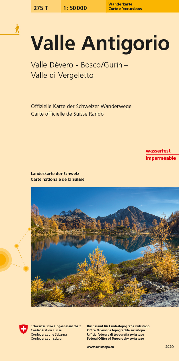
- Wandelkaart 275T Valle Antigorio | Swisstopo
- 5Valle Antigorio area, map No. 275T, at 1:50,000 in a special hiking edition of the country Read more
- Also available from:
- Stanfords, United Kingdom

Stanfords
United Kingdom
United Kingdom
- Valle Antigorio Swisstopo Hiking 275T
- 5Valle Antigorio area, map No. 275T, at 1:50,000 in a special hiking edition of the country’s topographic survey, published by Swisstopo in cooperation with the Swiss Hiking Federation. Cartography, identical to the standard version of the survey, is highly regarded for its superb use of graphic relief and hill shading to provide an almost 3-D... Read more
De Zwerver
Netherlands
Netherlands
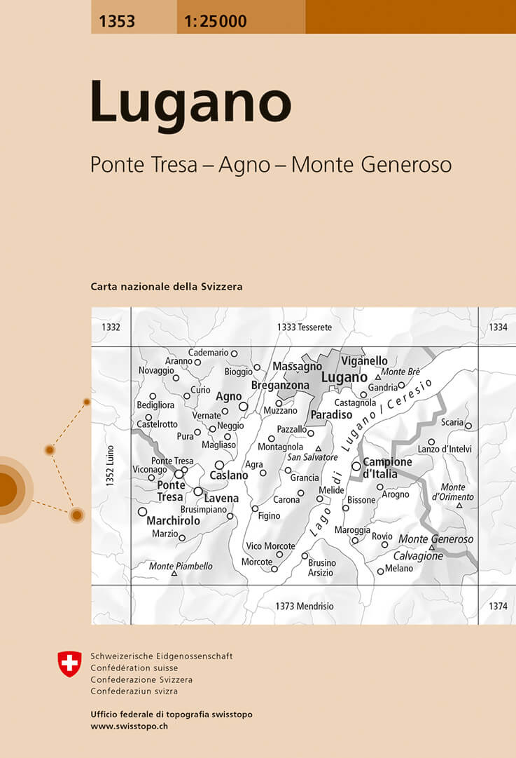
- Wandelkaart - Topografische kaart 1353 Lugano | Swisstopo
- Map No. 1353, Lugano, in the topographic survey of Switzerland at 1:25,000 from Bundesamt f Read more
- Also available from:
- Stanfords, United Kingdom
Stanfords
United Kingdom
United Kingdom
- Lugano Swisstopo 1353
- Map No. 1353, Lugano, in the topographic survey of Switzerland at 1:25,000 from Bundesamt für Landestopographie (swisstopo), covering the whole country on 247 small format sheets, with special larger maps published for popular regions including some titles now available in hiking versions.Highly regarded for their superb use of graphic relief... Read more
De Zwerver
Netherlands
Netherlands
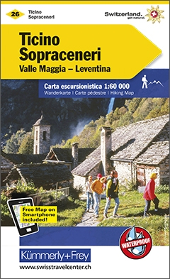
- Wandelkaart 26 Tessin - Sopraceneri | Kümmerly & Frey
- KuF Schweiz Wanderkarte 26 Tessin Sopraceneri Valle Maggia- Leventina 1 : 60 000 ab 26.8 EURO Tessin Nord Kümmerly und Frey Schweiz Wanderkarte Kümmerly & Frey Karte. 4. Auflage, Laufzeit bis 2021 Read more
De Zwerver
Netherlands
Netherlands
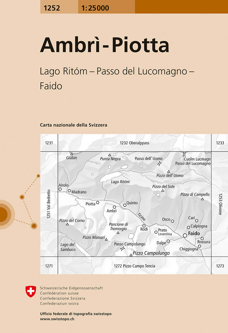
- Wandelkaart - Topografische kaart 1252 Ambrì- Piotta | Swisstopo
- Zeer gedetailleerde wandelkaart van een deel van Zwitserland. De topografische details van deze kaarten zijn onovertroffen; de werkelijkheid is perfect weergegeven op deze kaart van uitzonderlijk hoog niveau. Ze zijn geschikt voor alle soorten gebruik: voor eenvoudige wandeltochten in simpel terrein tot zware bergtochten en beklimmingen van de... Read more
- Also available from:
- Stanfords, United Kingdom

Stanfords
United Kingdom
United Kingdom
- Ambrì-Piotta Swisstopo 1252
- Map No. 1252, Ambrì-Piotta, in the topographic survey of Switzerland at 1:25,000 from Bundesamt für Landestopographie (swisstopo), covering the whole country on 247 small format sheets, with special larger maps published for popular regions including some titles now available in hiking versions.Highly regarded for their superb use of graphic... Read more
De Zwerver
Netherlands
Netherlands
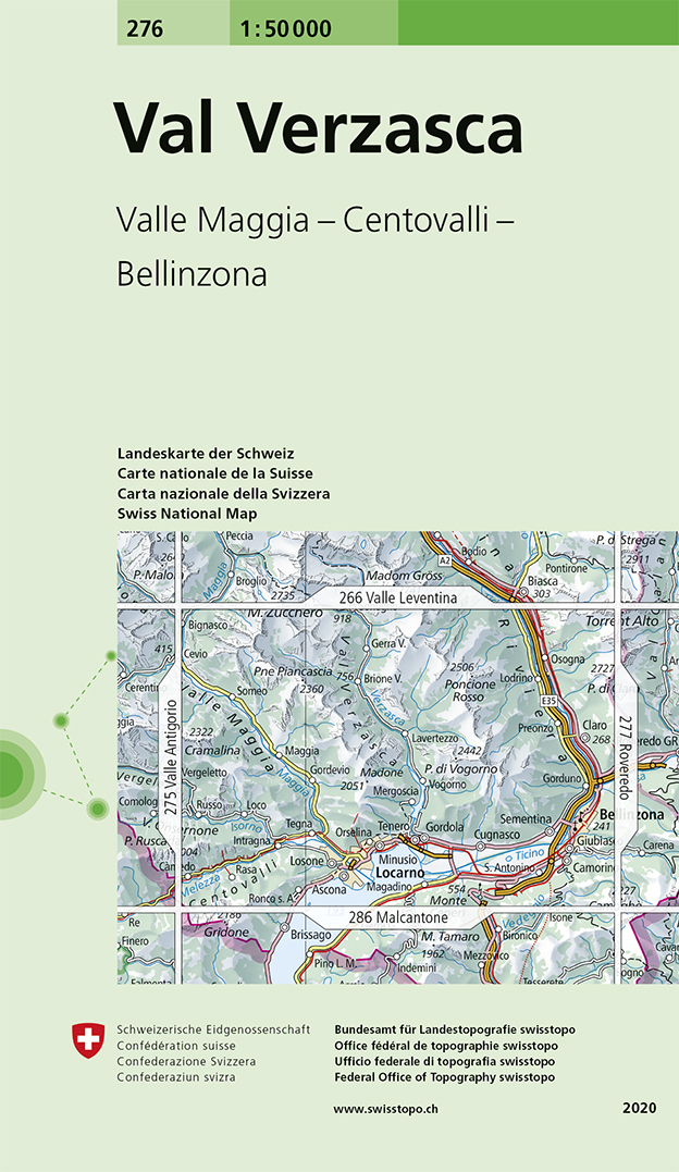
- Wandelkaart - Topografische kaart 276 Val Verzasca | Swisstopo
- Val Verzasca, map No. 276, in the standard topographic survey of Switzerland at 1:50,000 from Swisstopo, i.e. without the special overprint highlighting walking trails, local bus stops, etc, presented in Swisstopo Read more
- Also available from:
- Stanfords, United Kingdom

Stanfords
United Kingdom
United Kingdom
- Val Verzasca Swisstopo 276
- Val Verzasca, map No. 276, in the standard topographic survey of Switzerland at 1:50,000 from Swisstopo, i.e. without the special overprint highlighting walking trails, local bus stops, etc, presented in Swisstopo’s hiking editions of the 50K survey. Coverage extends from Belinzona in the east and Locarno in the south to include both Val... Read more
De Zwerver
Netherlands
Netherlands
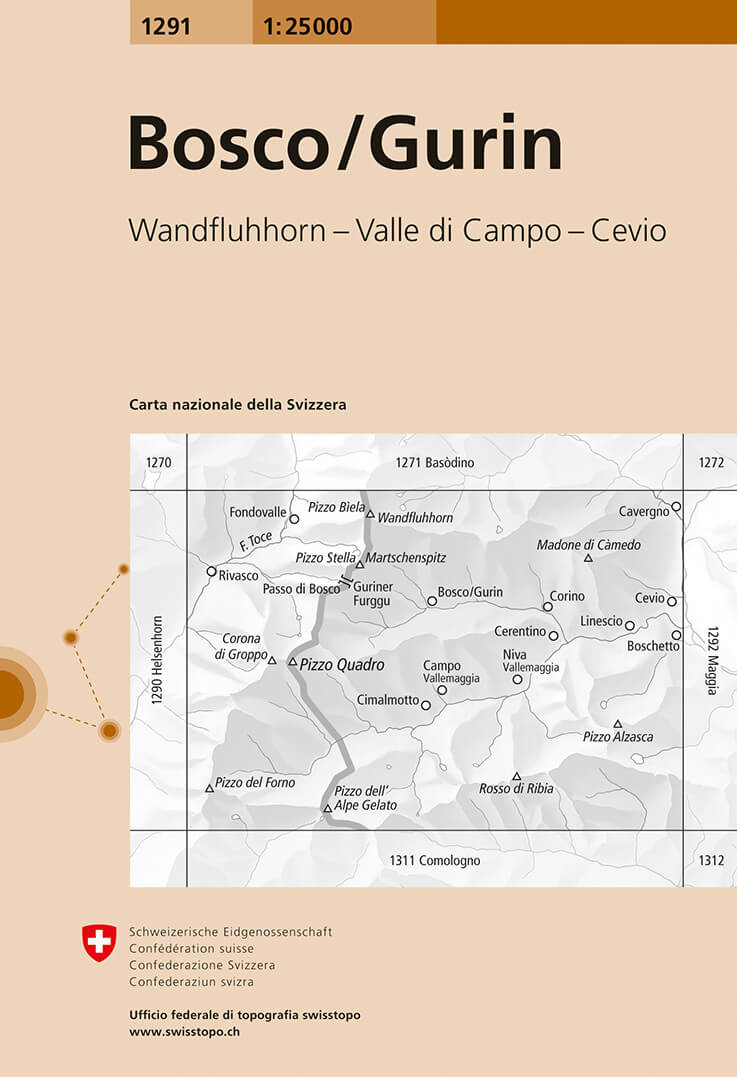
- Wandelkaart - Topografische kaart 1291 Bosco/Gurin | Swisstopo
- Map No. 1291, Bosco/Gurin, in the topographic survey of Switzerland at 1:25,000 from Bundesamt f Read more
- Also available from:
- Stanfords, United Kingdom

Stanfords
United Kingdom
United Kingdom
- Bosco / Gurin Swisstopo 1291
- Map No. 1291, Bosco/Gurin, in the topographic survey of Switzerland at 1:25,000 from Bundesamt für Landestopographie (swisstopo), covering the whole country on 247 small format sheets, with special larger maps published for popular regions including some titles now available in hiking versions.Highly regarded for their superb use of graphic... Read more