Three Peaks
Beschreibung
The "Three Peaks" refer to the highest peaks in Scotland, England and Wales. The Three Peaks challenge involves climbing Snowdon, Scafell Pike and Ben Nevis, in under 24 hours.
Links
Fakten
Berichte
Führer und Karten
Übernachtung
Organisationen
Reisebüros
GPS
Sonstiges
Bücher

- Also available from:
- De Zwerver, Netherlands
- Stanfords, United Kingdom
De Zwerver
Netherlands
2015
Netherlands
2015

Stanfords
United Kingdom
2015
United Kingdom
2015
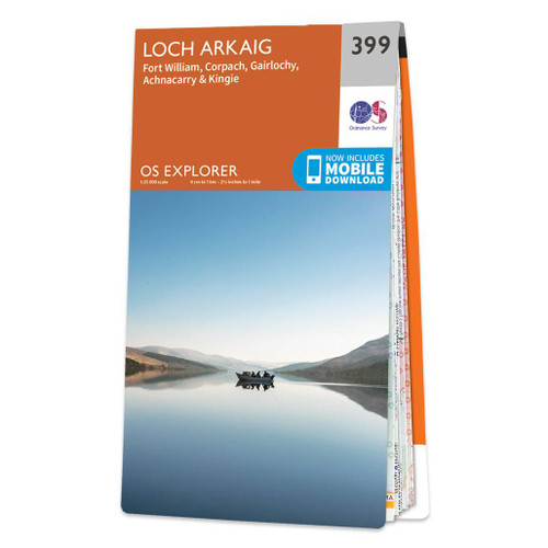
- Loch Arkaig - Fort William, Corpach - Gairlochy, Achnacarry & Kingie OS Explorer Map 399 (paper)
- Loch Arkaig, Fort William, Corpach, Gairlochy, Achnacarry and Kingie area on a detailed topographic and GPS compatible map No. 399, paper version, from the Ordnance Survey’s 1:25,000 Explorer series.MOBILE DOWNLOADS: this title and all the other OS Explorer maps include a code for downloading after purchase the digital version onto your... Read more

- Also available from:
- De Zwerver, Netherlands
- Stanfords, United Kingdom

Stanfords
United Kingdom
2021
United Kingdom
2021
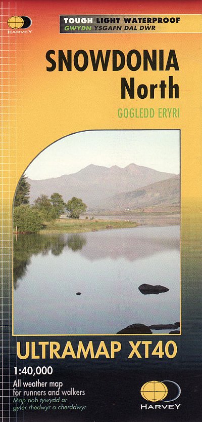
- Snowdonia North Harvey Ultramap XT40
- The northern part of Snowdonia with Snowdon and the Glyders and Carnedds peaks at 1:40,000 on a waterproof and tear-resistant, pocket-size Ultramap from Harvey Map Services with the same cartography as their Superwalker map of this area. The map is double-sided with an overlap between the sides; coverage extends from west of Llanberis eastwards... Read more

The Book Depository
United Kingdom
2019
United Kingdom
2019
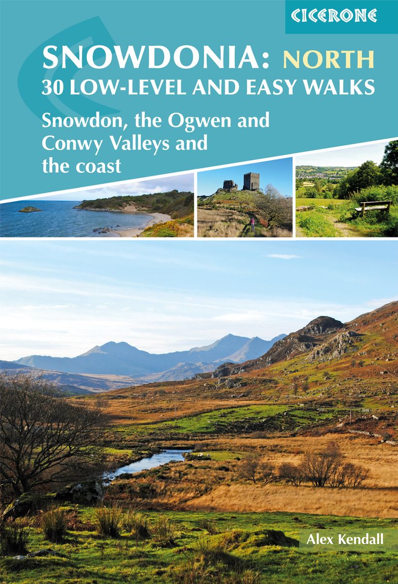
- Snowdonia: 30 Low-level and Easy Walks - North
- Snowdon, the Ogwen and Conwy Valleys and the coast Read more
- Also available from:
- De Zwerver, Netherlands
- Stanfords, United Kingdom
De Zwerver
Netherlands
2019
Netherlands
2019
- Wandelgids Snowdonia: North - Low-level and easy walks | Cicerone
- Guidebook describing 30 walks in Snowdonia, Wales. Routes are mostly low level and on clear paths and showcase the region's beautiful scenery and rich history and culture. Part of a 2-volume set, this northern volume includes the Snowdon area, the Ogwen and Conwy Valleys, Betws-y-Coed, Beddgelert, Ffestiniog and the coast. Read more

Stanfords
United Kingdom
2019
United Kingdom
2019
- Snowdonia: Low-level and easy walks - North: Snowdon, the Ogwen and Conwy Valleys and the coast
- This guidebook describes 30 low level and easy walks that are suitable for all abilities. The hikes covered are in the northern part of Snowdonia National Park, close to Conwy, Betws-y-Coed, Llanberis and Porthmadog. Most of the walks take around two hours, with others ranging from two to six hours.Each walk has an accompanying Ordnance Survey... Read more

The Book Depository
United Kingdom
2014
United Kingdom
2014
- The Mountains of England and Wales: Vol 1 Wales
- The Nuttalls are hills over 2000ft high in England and Wales. The 190 Nuttalls in Wales are split into: Carneddau, Glyders, Snowdon, Moel Hebog, Moelwyns, Arenigs, Berwyns, Arans, Rhinogs, Cadair Idris, central Wales, Black Mountains, Brecon Beacons. Definitive lists, detailed route descriptions, maps and drawings of Wales' highest peaks. Read more
- Also available from:
- Stanfords, United Kingdom

Stanfords
United Kingdom
2014
United Kingdom
2014
- The Mountains of England and Wales: Vol. 1 - Wales
- The Mountains of England and Wales - Volume 1 is John and Anne Nuttall’s Cicerone guide to walking the highest summits in the country. The guide describes the ascent of all 190 mountains in Wales and is a companion to the authors’ similar work on England. Each of the mountains are grouped by range, allowing walkers to easily find relevant and... Read more

- Also available from:
- De Zwerver, Netherlands
- Stanfords, United Kingdom
De Zwerver
Netherlands
2020
Netherlands
2020
- Wandelgids Snowdonia | Rockfax
- This new book by Mark Reeves covers all the best mountain walks and scrambles in and around the Snowdonia area. The coverage is done in full Rockfax style with bigh overview photos, precise route descriptions and detailsed maps. It also has an extensive introduction covering some of the basic skills required for scrambling, route planning and... Read more

Stanfords
United Kingdom
2020
United Kingdom
2020
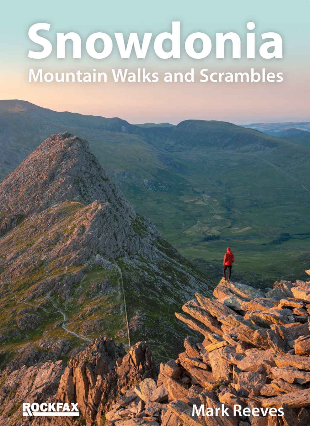
- Snowdonia: Mountain Walks and Scrambles
- This new book by Mark Reeves covers all the best mountain walks and scrambles in and around the Snowdonia area. The coverage is done in full Rockfax style with bigh overview photos, precise route descriptions and detailsed maps. It also has an extensive introduction covering some of the basic skills required for scrambling, route planning and... Read more

- Also available from:
- Stanfords, United Kingdom

Stanfords
United Kingdom
United Kingdom
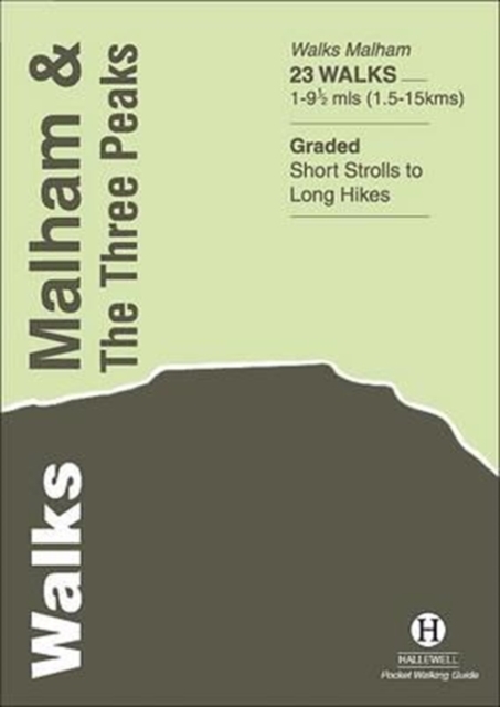
- Three Peaks and Howgill Fells Walks
- This new title is the second in an improved series of Paul Hannon`s walking guides. A range of enhancements see two previous titles merge to cover a broader, logically grouped area. This volume merges the Three Peaks and Howgill Fells areas, which already meet in Dentdale, virtually all within the Yorkshire Dales National Park. The new series... Read more

The Book Depository
United Kingdom
2022
United Kingdom
2022
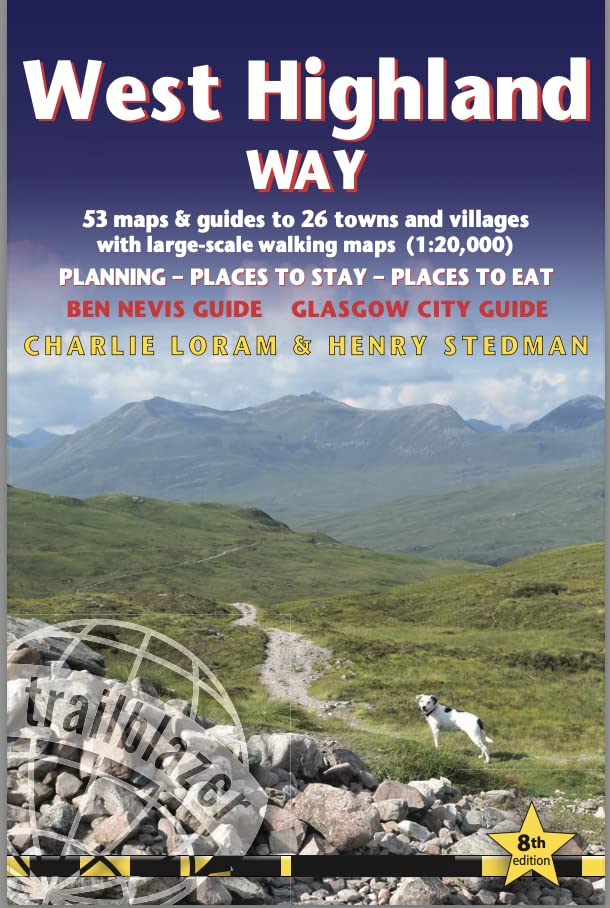
- West Highland Way (Trailblazer British Walking Guides)
- 53 large-scale maps & guides to 26 towns and villages; Planning, Places to Stay, Places to Eat; Ben Nevis Guide. Glasgow City Guide Read more
- Also available from:
- De Zwerver, Netherlands
De Zwerver
Netherlands
2022
Netherlands
2022
- Wandelgids West Highland Way | Trailblazer Guides
- 53 large-scale maps & guides to 26 towns and villages; Planning, Places to Stay, Places to Eat; Ben Nevis Guide. Glasgow City Guide Read more

- Also available from:
- De Zwerver, Netherlands
- Stanfords, United Kingdom
De Zwerver
Netherlands
2015
Netherlands
2015

Stanfords
United Kingdom
2015
United Kingdom
2015
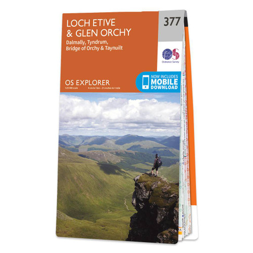
- Loch Etive & Glen Orchy - Dalmally, Tyndrum, Bridge of Orchy & Taynuilt OS Explorer Map 377 (paper)
- Loch Etive, Glen Orchy, Dalmally, Tyndrum, Bridge of Orchy and Taynuilt area on a detailed topographic and GPS compatible map No. 377, paper version, from the Ordnance Survey’s 1:25,000 Explorer series.MOBILE DOWNLOADS: this title and all the other OS Explorer maps include a code for downloading after purchase the digital version onto your... Read more

- Also available from:
- Stanfords, United Kingdom

Stanfords
United Kingdom
United Kingdom
- National Three Peaks Adventure Atlas: Ben Nevis, Scafell Pike, Snowdon
- National Three Peaks Adventure Atlas from A-Z Map Company with cartography of the Ordnance Survey’s 1:25,000 Explorer series covering Ben Nevis, Scafell Pike and Snowdon supplemented by A-Z’s road mapping linking these three areas. Mapping of each peak at 25K is presented with additional information on access, general advice, etc, plus OR codes... Read more

- Also available from:
- De Zwerver, Netherlands
- Stanfords, United Kingdom
De Zwerver
Netherlands
2015
Netherlands
2015

Stanfords
United Kingdom
2015
United Kingdom
2015
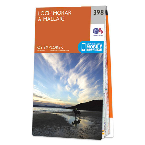
- Loch Morar & Mallaig OS Explorer Map 398 (paper)
- Loch Morar and Mallaig area on a detailed topographic and GPS compatible map No. 398, paper version, from the Ordnance Survey’s 1:25,000 Explorer series.MOBILE DOWNLOADS: this title and all the other OS Explorer maps include a code for downloading after purchase the digital version onto your smartphone or tablet for viewing on the OS smartphone... Read more

- Also available from:
- De Zwerver, Netherlands

- Also available from:
- De Zwerver, Netherlands
- Stanfords, United Kingdom
De Zwerver
Netherlands
2015
Netherlands
2015

Stanfords
United Kingdom
2015
United Kingdom
2015
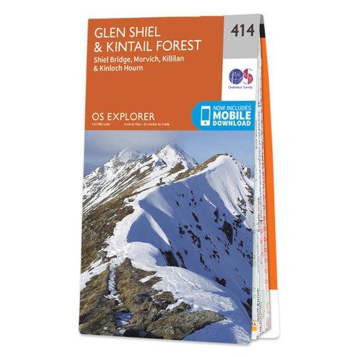
- Glen Shiel & Kintail Forest - Shiel Bridge, Morvich, Killilan & Kinloch Hourn OS Explorer Map 414 (paper)
- Glen Shiel, Kintail Forest, Shiel Bridge, Morvich, Killilan and Kinloch Hourn area on a detailed topographic and GPS compatible map No. 414, paper version, from the Ordnance Survey’s 1:25,000 Explorer series. MOBILE DOWNLOADS: this title and all the other OS Explorer maps include a code for downloading after purchase the digital version onto... Read more

The Book Depository
United Kingdom
2019
United Kingdom
2019
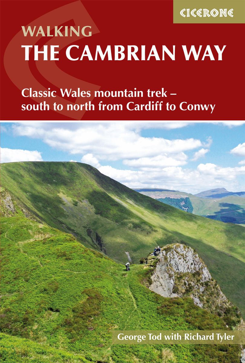
- The Cambrian Way
- Classic Wales mountain trek - south to north from Cardiff to Conwy Read more
- Also available from:
- De Zwerver, Netherlands
- Stanfords, United Kingdom
De Zwerver
Netherlands
2019
Netherlands
2019
- Wandelgids The Cambrian Way | Cicerone
- Guidebook to the Cambrian Way, a challenging three-week mountain trek through Wales from Cardiff to Conwy. The 470km unwaymarked route is presented from south to north. Often sticking to long, beautiful ridgelines, it crosses wild and rugged terrain and visits many of Wales's highest mountains, including Snowdon. Read more

Stanfords
United Kingdom
2019
United Kingdom
2019
- The Cambrian Way: Classic Wales mountain trek - south to north from Cardiff to Conwy
- Dubbed `the mountain connoisseurs` walk`, the Cambrian Way stretches 479km between the mighty castles of Cardiff in the south and Conwy on the north coast. Traversing the heartland of Wales, the challenging route crosses the Brecon Beacons, the Cambrian Mountains and Snowdonia, passing through two national parks and visiting many of the... Read more

The Book Depository
United Kingdom
2015
United Kingdom
2015
- Lake District: High Level and Fell Walks
- Walking in the Lake District - the highest mountains in England Read more
- Also available from:
- Stanfords, United Kingdom

Stanfords
United Kingdom
2015
United Kingdom
2015
- Lake District: High Level and Fell Walks: 30 Best Fell Walks
- This guidebook collects the best 30 high fell walks in the Lake District. Every route is graded for difficulty and ranges between 7-23km, and includes annotated OS maps and variant routes. The walks are divided into 6 sections according to where walkers can start: the Keswick area, Borrowdale and Buttermere, the Western Valleys, Coniston and... Read more

The Book Depository
United Kingdom
2021
United Kingdom
2021
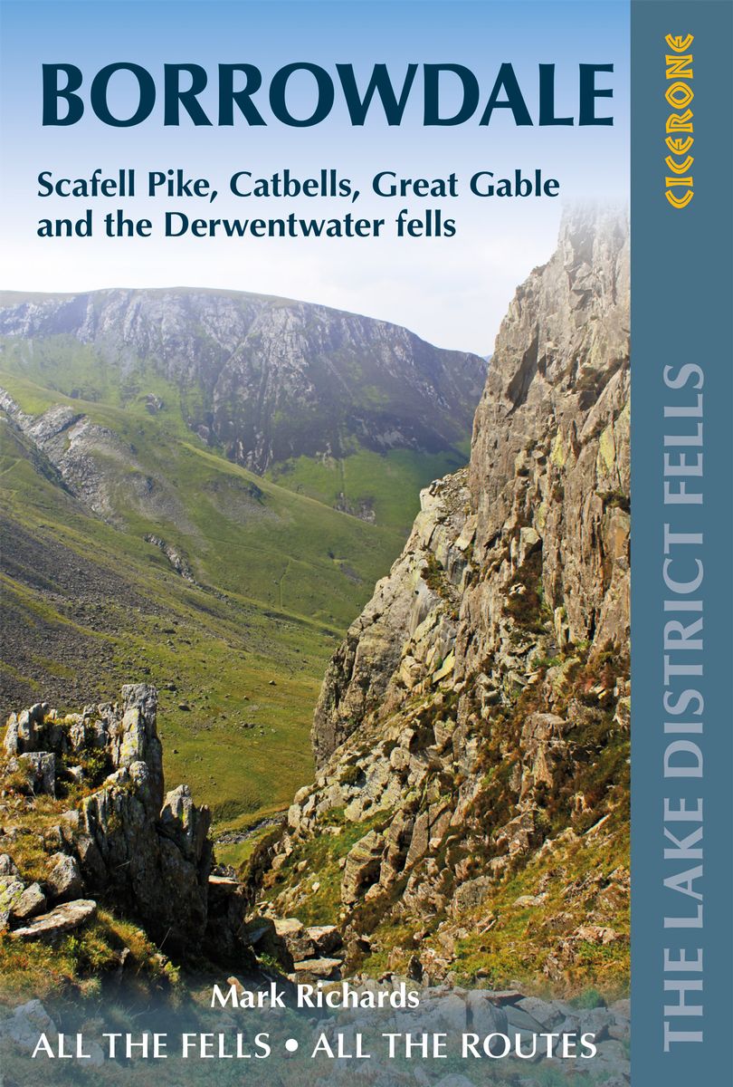
- Walking the Lake District Fells - Borrowdale
- Scafell Pike, Catbells, Great Gable and the Derwentwater fells Read more
- Also available from:
- De Zwerver, Netherlands
De Zwerver
Netherlands
2021
Netherlands
2021
- Wandelgids The Lake District Fells Borrowdale walking guide | Cicerone
- Scafell Pike, Catbells, Great Gable and the Derwentwater fells Read more
Karten

The Book Depository
United Kingdom
2013
United Kingdom
2013
- South Loch Ness Trail
- The South Loch Ness Trail, a 45km / 28 mile long hiking route from Loch Tarff near Fort Augustus on the southern tip of Loch Ness to Torbreck on the outskirts of Inverness at 1:40,000 on GPS compatible, light, waterproof and tear-resistant map from Harvey Map Services. The map also highlights the course of the Trail of the 7 Lochs, an 80km / 50... Read more
- Also available from:
- De Zwerver, Netherlands
- Stanfords, United Kingdom

De Zwerver
Netherlands
2013
Netherlands
2013
- Wandelkaart South Loch Ness Trail | Harvey Maps
- The South Loch Ness Trail, a 45km / 28 mile long hiking route from Loch Tarff near Fort Augustus on the southern tip of Loch Ness to Torbreck on the outskirts of Inverness at 1:40,000 on GPS compatible, light, waterproof and tear-resistant map from Harvey Map Services. The map also highlights the course of the Trail of the 7 Lochs, an 80km / 50... Read more

Stanfords
United Kingdom
2013
United Kingdom
2013
- South Loch Ness Trail Harvey National Trail XT40
- The South Loch Ness Trail, a 45km / 28 mile long hiking route from Loch Tarff near Fort Augustus on the southern tip of Loch Ness to Torbreck on the outskirts of Inverness at 1:40,000 on GPS compatible, light, waterproof and tear-resistant map from Harvey Map Services. The map also highlights the course of the Trail of the 7 Lochs, an 80km / 50... Read more

The Book Depository
United Kingdom
United Kingdom
- Yorkshire Dales South & Western
- Southern and western area of the Yorkshire Dales on a detailed topographic and GPS compatible map OL2, waterproof version, from the Ordnance Survey`s 1:25,000 Explorer series. Coverage includes Wharfedale with Grassington and Hebden, the upper part of the Ribblesdale with Settle and Horton, Yorkshire’s Three Peaks area of Whernside,... Read more
- Also available from:
- Stanfords, United Kingdom

Stanfords
United Kingdom
United Kingdom
- Yorkshire Dales Southern & Western - Whernside, Ingleborough & Pen-y-ghent OS Explorer OL2 ACTIVE
- Southern and western area of the Yorkshire Dales on a detailed topographic and GPS compatible map OL2, waterproof version, from the Ordnance Survey`s 1:25,000 Explorer series. Coverage includes Wharfedale with Grassington and Hebden, the upper part of the Ribblesdale with Settle and Horton, Yorkshire’s Three Peaks area of Whernside,... Read more

The Book Depository
United Kingdom
United Kingdom
- The West Highland Way (Footprint Map)
- A Footprint Map-Guide to the 95 Mile Route Between Milngavie and Fort William Read more
- Also available from:
- De Zwerver, Netherlands
- Stanfords, United Kingdom

De Zwerver
Netherlands
Netherlands
- Wandelkaart The West Highland Way | Footprint maps
- The West Highland Way waterproof map from Footprint is a map-guide to the 95 mile (153km) route between Milngavie and Fort William. The mapping is based on Ordnance Survey data at a scale of 1:40,000, with compact and concise information for walkers. Read more

Stanfords
United Kingdom
United Kingdom
- The West Highland Way - 95 Mile Route Between Milngavie and Fort William
- The West Highland Way waterproof map from Footprint is a map-guide to the 95 mile (153km) route between Milngavie and Fort William. The mapping is based on Ordnance Survey data at a scale of 1:40,000, with compact and concise information for walkers. Read more

The Book Depository
United Kingdom
2018
United Kingdom
2018
- Ben Nevis and Glen Coe
- Waterproof mountain map of Ben Nevis & Glen Coe from Harvey at 1:40,000, with a geological map of the region on the reverse, an enlargement of Ben Nevis' summit, and advice on navigating the region safely.MAIN MAP: Topography is shown through clear altitude shading, spot heights, contours at 15m intervals, and index contours at 75m intervals. A... Read more
- Also available from:
- De Zwerver, Netherlands
- Stanfords, United Kingdom

De Zwerver
Netherlands
2018
Netherlands
2018
- Wandelkaart Ben Nevis & Glen Coe | Harvey Maps
- Waterproof mountain map of Ben Nevis & Glen Coe from Harvey at 1:40,000, with a geological map of the region on the reverse, an enlargement of Ben Nevis' summit, and advice on navigating the region safely.MAIN MAP: Topography is shown through clear altitude shading, spot heights, contours at 15m intervals, and index contours at 75m intervals. A... Read more

Stanfords
United Kingdom
2018
United Kingdom
2018
- Ben Nevis & Glen Coe Harvey British Mountain Map XT40
- Waterproof mountain map of Ben Nevis & Glen Coe from Harvey at 1:40,000, with a geological map of the region on the reverse, an enlargement of Ben Nevis` summit, and advice on navigating the region safely.*MAIN MAP:* Topography is shown through clear altitude shading, spot heights, contours at 15m intervals, and index contours at 75m intervals.... Read more

The Book Depository
United Kingdom
United Kingdom
- Lake District Adventure Atlas
- The A-Z Adventure Series of maps combines the best of OS and A-Z, creating the perfect companion for walkers, off-road cyclists, horse riders and anyone wishing to explore the great outdoors.The Lake District is a National Park and a Unesco World Heritage Site in northwest England. It is a region rich in natural beauty with breathtaking views... Read more
- Also available from:
- Stanfords, United Kingdom

Stanfords
United Kingdom
United Kingdom
- Lake District A-Z Adventure Atlas
- The A-Z Adventure Series of maps combines the best of OS and A-Z, creating the perfect companion for walkers, off-road cyclists, horse riders and anyone wishing to explore the great outdoors.The Lake District is a National Park and a Unesco World Heritage Site in northwest England. It is a region rich in natural beauty with breathtaking views... Read more

The Book Depository
United Kingdom
United Kingdom
- Snowdon and The Conwy Valley
- Snowdon and the Conwy Valley at 1:25,000 in a series of Walker Read more
- Also available from:
- Stanfords, United Kingdom

Stanfords
United Kingdom
United Kingdom
- Snowdon & The Conway Valley AA Walker`s Map 4
- Snowdon and the Conwy Valley at 1:25,000 in a series of Walker’s Maps published by the AA with the cartography from the Ordnance Survey’s Explorer series. The map is double-sided and coverage includes parts of the New Forest National Park, Bangor, Caernarfon, Llanberis, Llanwnda, Rhyd-Ddu, Batws-y-Coed, Capel Curig, Tal-y-Bont, Llanfairfechan,... Read more
The Book Depository
United Kingdom
United Kingdom
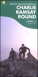
- Charlie Ramsay Round
- Charlie Ramsay Round, a route from the Ben Nevis Youth Hostel across the peak itself and 23 more summits including the Grey Corries and Mamores ranges, presented at 1:40,000 on a contoured, GPS compatible map from Harvey Map Services, printed on light, waterproof and tear-resistant paper. Contours are at 15m intervals enhanced by graphic relief... Read more
- Also available from:
- Stanfords, United Kingdom

Stanfords
United Kingdom
United Kingdom
- Charlie Ramsay Round: Ben Nevis, Grey Corries and Mamores
- Charlie Ramsay Round, a route from the Ben Nevis Youth Hostel across the peak itself and 23 more summits including the Grey Corries and Mamores ranges, presented at 1:40,000 on a contoured, GPS compatible map from Harvey Map Services, printed on light, waterproof and tear-resistant paper. Contours are at 15m intervals enhanced by graphic relief... Read more
The Book Depository
United Kingdom
United Kingdom
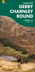
- Gerry Charnley Round
- Bob Graham Round, a 63km / 38 mile approx. circuit in the fells of the Lake District presented at 1:40,000 on a light, waterproof and tear-resistant map from Harvey Map Services. The circuit, first devised in 1984, includes Scafell and Scafell Pike but provides a shorter alternative to the better known and more challenging Bob Graham Round. The... Read more
- Also available from:
- Stanfords, United Kingdom

Stanfords
United Kingdom
United Kingdom
- Gerry Charnley Round in the Lakeland Fells
- Bob Graham Round, a 63km / 38 mile approx. circuit in the fells of the Lake District presented at 1:40,000 on a light, waterproof and tear-resistant map from Harvey Map Services. The circuit, first devised in 1984, includes Scafell and Scafell Pike but provides a shorter alternative to the better known and more challenging Bob Graham Round. The... Read more

The Book Depository
United Kingdom
2018
United Kingdom
2018
- East Highland Way
- East Highland Way, a 132km / 82 miles trail on a light, waterproof and tear-resistant map at 1:40,000 from Harvey Map Services presenting the route accompanied by extensive additional tourist information. The route links Fort Williams, the northern point of the West Highland Way and the southern point of the Great Glen Way, with Aviemore, the... Read more
- Also available from:
- De Zwerver, Netherlands
- Stanfords, United Kingdom

De Zwerver
Netherlands
2018
Netherlands
2018
- Wandelkaart East Highland Way | Harvey Maps
- East Highland Way, a 132km / 82 miles trail on a light, waterproof and tear-resistant map at 1:40,000 from Harvey Map Services presenting the route accompanied by extensive additional tourist information. The route links Fort Williams, the northern point of the West Highland Way and the southern point of the Great Glen Way, with Aviemore, the... Read more

Stanfords
United Kingdom
2018
United Kingdom
2018
- East Highland Way Harvey National Trail XT40
- East Highland Way, a 132km / 82 miles trail on a light, waterproof and tear-resistant map at 1:40,000 from Harvey Map Services presenting the route accompanied by extensive additional tourist information. The route links Fort Williams, the northern point of the West Highland Way and the southern point of the Great Glen Way, with Aviemore, the... Read more

The Book Depository
United Kingdom
2016
United Kingdom
2016
- Yorkshire Dales South & Western
- Southern and western area of the Yorkshire Dales on a detailed topographic and GPS compatible map OL2, paper version, from the Ordnance Survey`s 1:25,000 Explorer series. Coverage includes Wharfedale with Grassington and Hebden, the upper part of the Ribblesdale with Settle and Horton, Yorkshire’s Three Peaks area of Whernside, Ingleborough and... Read more
- Also available from:
- De Zwerver, Netherlands
- Stanfords, United Kingdom

De Zwerver
Netherlands
2016
Netherlands
2016
- Wandelkaart - Topografische kaart OL02 OS Explorer Map Yorkshire Dales - Southern & Western Area | Ordnance Survey
- Southern and western area of the Yorkshire Dales on a detailed topographic and GPS compatible map OL2, paper version, from the Ordnance Survey`s 1:25,000 Explorer series. Coverage includes Wharfedale with Grassington and Hebden, the upper part of the Ribblesdale with Settle and Horton, Yorkshire’s Three Peaks area of Whernside, Ingleborough and... Read more

Stanfords
United Kingdom
2016
United Kingdom
2016
- Yorkshire Dales Southern & Western - Whernside, Ingleborough & Pen-y-ghent OS Explorer OL2
- Southern and western area of the Yorkshire Dales on a detailed topographic and GPS compatible map OL2, paper version, from the Ordnance Survey`s 1:25,000 Explorer series. Coverage includes Wharfedale with Grassington and Hebden, the upper part of the Ribblesdale with Settle and Horton, Yorkshire’s Three Peaks area of Whernside, Ingleborough and... Read more

The Book Depository
United Kingdom
United Kingdom
- Great Glen Way
- Great Glen Way, a 126km/79 miles trail from Fort William along Loch Ness to Inverness, presented at 1:40,000 on a light, waterproof and tear-resistant map from Harvey Map Services. The whole route is covered on four overlapping panels, and includes street plans of Fort William (showing the start/end of the West Highland Way) and Inverness. Map... Read more
- Also available from:
- De Zwerver, Netherlands
- Stanfords, United Kingdom

De Zwerver
Netherlands
Netherlands
- Wandelkaart Great Glen Way | Harvey Maps
- Great Glen Way, a 126km/79 miles trail from Fort William along Loch Ness to Inverness, presented at 1:40,000 on a light, waterproof and tear-resistant map from Harvey Map Services. The whole route is covered on four overlapping panels, and includes street plans of Fort William (showing the start/end of the West Highland Way) and Inverness. Map... Read more

Stanfords
United Kingdom
United Kingdom
- Great Glen Way Harvey National Trail XT40
- Great Glen Way, a 126km/79 miles trail from Fort William along Loch Ness to Inverness, presented at 1:40,000 on a light, waterproof and tear-resistant map from Harvey Map Services. The whole route is covered on four overlapping panels, and includes street plans of Fort William (showing the start/end of the West Highland Way) and Inverness. Map... Read more

De Zwerver
Netherlands
2022
Netherlands
2022
- Wandelkaart Ben Nevis | Harvey Maps
- Ben Nevis with the Mamores and Grey Corries ranges at 1:25,000 on a double-sided, waterproof and tear-resistant map from Harvey Map Services with the peak area shown in greater detail at 1:12,500. The map divides the area north/south, with a good overlap between the sides, extending from Fort William past Loch Treig to Chno Deang, plus south to... Read more
- Also available from:
- Stanfords, United Kingdom

Stanfords
United Kingdom
2022
United Kingdom
2022
- Ben Nevis - Mamores & Grey Corries Harvey Superwalker XT25
- Ben Nevis with the Mamores and Grey Corries ranges at 1:25,000 on a double-sided, waterproof and tear-resistant map from Harvey Map Services in their Superwalker series, with the peak area also shown in greater detail at 1:12,500. The map divides the area north/south, with a good overlap between the sides, extending from Fort William past Loch... Read more
De Zwerver
Netherlands
2021
Netherlands
2021
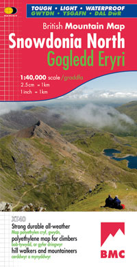
- Wandelkaart Snowdonia Noord | Harvey Maps
- Waterproof mountain map of Snowdonia from Harvey at 1:40,000, with a geological map of the region on the reverse, enlargements of Snowdon and Tryfan, and advice on navigating the region safely.MAIN MAP: Topography is shown through clear altitude shading, spot heights, contours at 15m intervals, and index contours at 75m intervals. A variety of... Read more
- Also available from:
- Stanfords, United Kingdom

Stanfords
United Kingdom
2021
United Kingdom
2021
- Snowdonia North / Gogledd Eryri Harvey British Mountain Map XT40
- Waterproof mountain map of Snowdonia North from Harvey at 1:40,000, with a geological map of the region on the reverse, enlargements of Snowdon and Tryfan, and advice on navigating the region safely.*MAIN MAP:* Topography is shown through clear altitude shading, spot heights, contours at 15m intervals, and index contours at 75m intervals. A... Read more
Weitere …