
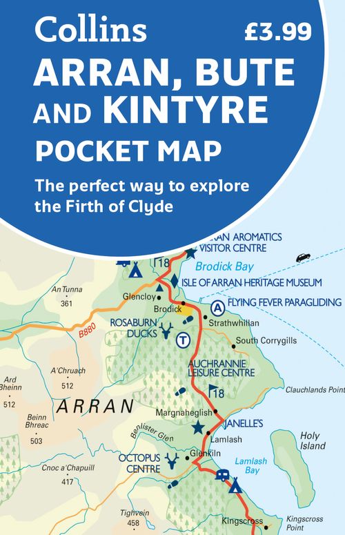
Arran
Beschreibung
Large and mountainous Scottish island in the Firth of Clyde. It is located south of the Inner Hebrides, and is not a part of this island group. Arran is good for walking. Apart from the Coastal Path, many inland hikes can be made.
Wanderwege Region
Links
Fakten
Berichte
Führer und Karten
Übernachtung
Organisationen
Reisebüros
GPS
Sonstiges
Bücher

- Also available from:
- De Zwerver, Netherlands
- Stanfords, United Kingdom
De Zwerver
Netherlands
2015
Netherlands
2015

Stanfords
United Kingdom
2015
United Kingdom
2015
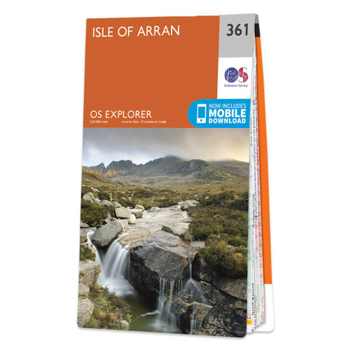
- Islay North: Port Askaig, Bridgend & Port Charlotte OS Explorer Map 353 (paper)
- Islay North: Port Askaig, Bridgend and Port Charlotte area on a detailed topographic and GPS compatible map No. 353, paper version, from the Ordnance Survey’s 1:25,000 Explorer series. MOBILE DOWNLOADS: this title and all the other OS Explorer maps include a code for downloading after purchase the digital version onto your smartphone or tablet... Read more

- Also available from:
- De Zwerver, Netherlands
- Stanfords, United Kingdom
De Zwerver
Netherlands
Netherlands

Stanfords
United Kingdom
United Kingdom
- Glasgow, Motherwell & Airdrie OS Landranger Map 64 (paper)
- Paper version of map No. 64 from the Ordnance Survey’s Landranger series at 1:50,000, with contoured and GPS compatible topographic mapping plus tourist information.MOBILE DOWNLOADS: As well as the physical edition of the map, each Landranger title now includes a code for downloading after purchase its digital version onto your smartphone or... Read more

- Also available from:
- De Zwerver, Netherlands
- Stanfords, United Kingdom
De Zwerver
Netherlands
2015
Netherlands
2015

Stanfords
United Kingdom
2015
United Kingdom
2015
- Cowal West & Isle of Bute - Rothesay OS Explorer Map 362 (paper)
- West Cowal and the Isle of Bute on a detailed topographic and GPS compatible map No. 362, paper version, from the Ordnance Survey’s 1:25,000 Explorer series. MOBILE DOWNLOADS: this title and all the other OS Explorer maps include a code for downloading after purchase the digital version onto your smartphone or tablet for viewing on the OS... Read more

- Also available from:
- De Zwerver, Netherlands
- Stanfords, United Kingdom
De Zwerver
Netherlands
Netherlands

Stanfords
United Kingdom
United Kingdom
- Girvan, Ballantrae & Barrhill OS Landranger Map 76 (paper)
- Paper version of map No. 76 from the Ordnance Survey’s Landranger series at 1:50,000, with contoured and GPS compatible topographic mapping plus tourist information.MOBILE DOWNLOADS: As well as the physical edition of the map, each Landranger title now includes a code for downloading after purchase its digital version onto your smartphone or... Read more


- Also available from:
- De Zwerver, Netherlands
- Stanfords, United Kingdom
De Zwerver
Netherlands
2015
Netherlands
2015

Stanfords
United Kingdom
2015
United Kingdom
2015
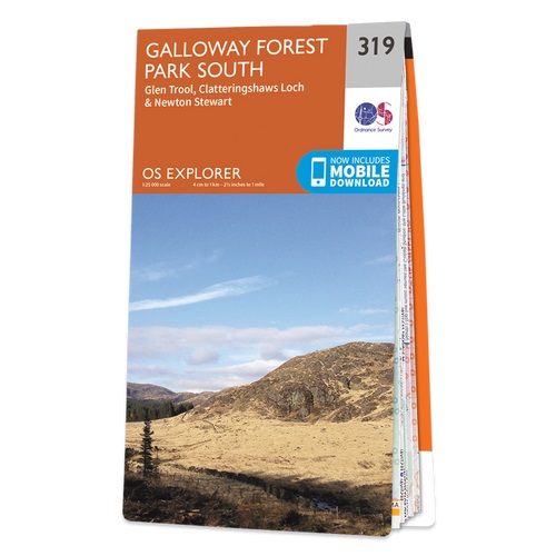
- Galloway Forest Park South - Glen Trool, Clatteringshaws Loch & Newton Stewart OS Explorer Map 319 (paper)
- Galloway Forest Park South, Glen Trool, Clatteringshaws Loch and Newton Stewart area on a detailed topographic and GPS compatible map No. 319, paper version, from the Ordnance Survey’s 1:25,000 Explorer series.MOBILE DOWNLOADS: this title and all the other OS Explorer maps include a code for downloading after purchase the digital version onto... Read more

- Also available from:
- De Zwerver, Netherlands
- Stanfords, United Kingdom
De Zwerver
Netherlands
2015
Netherlands
2015

Stanfords
United Kingdom
2015
United Kingdom
2015
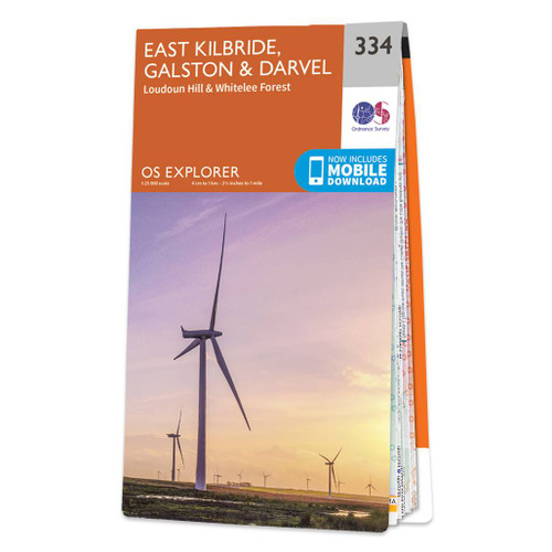
- East Kilbride, Galston & Darvel - Loudoun Hill & Whitelee Forest OS Explorer Map 334 (paper)
- East Kilbride, Galston, Darvel, Loudoun Hill and Whitelee Forest area on a detailed topographic and GPS compatible map No. 334, paper version, from the Ordnance Survey’s 1:25,000 Explorer series. MOBILE DOWNLOADS: this title and all the other OS Explorer maps include a code for downloading after purchase the digital version onto your smartphone... Read more

The Book Depository
United Kingdom
2012
United Kingdom
2012
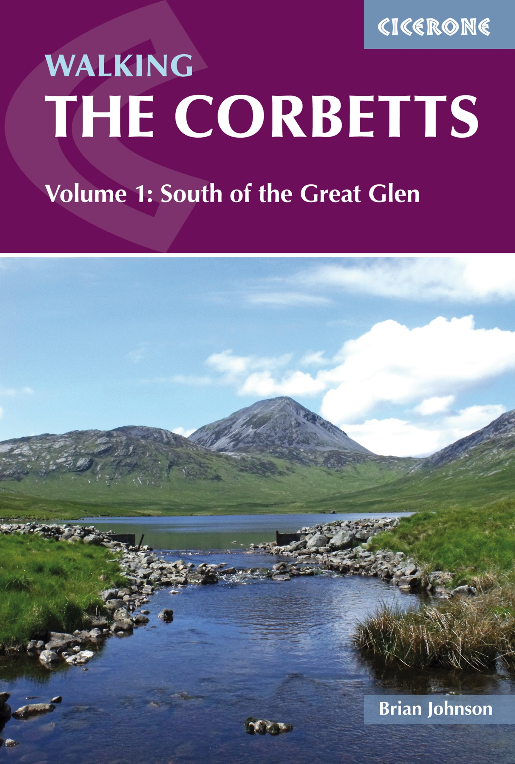
- Walking the Corbetts Vol 1 South of the Great Glen
- Walking the Corbetts describes routes up all 112 Scottish Corbetts (Scotland's 2500-2999ft mountains) south of the Great Glen, covering the Southern Uplands, Southern Highlands, Cairngorms, Jura and Arran. These Scottish hills are every bit as interesting as the Munros, and often clear when the Munros are in cloud. Read more
- Also available from:
- De Zwerver, Netherlands
- Stanfords, United Kingdom
De Zwerver
Netherlands
2019
Netherlands
2019
- Wandelgids Walking the Corbetts: Volume 1 | Cicerone
- Walking the Corbetts describes routes up all 112 Scottish Corbetts (Scotland's 2500-2999ft mountains) south of the Great Glen, covering the Southern Uplands, Southern Highlands, Cairngorms, Jura and Arran. These Scottish hills are every bit as interesting as the Munros, and often clear when the Munros are in cloud. Read more

Stanfords
United Kingdom
2012
United Kingdom
2012
- Corbetts Walking Vol 1: South of the Great Glen
- Walking the Corbetts Volume 1: South of the Great Glen guide from Cicerone Press describes in 95 routes the most interesting ascents of the 112 peaks south of the Fort William - Loch Ness - Inverness line, including the Southern Highlands, Southern Uplands and the islands of Jura and Arran.The Corbetts are Scottish mountains between 2500 and... Read more

- Also available from:
- De Zwerver, Netherlands
- Stanfords, United Kingdom
De Zwerver
Netherlands
2015
Netherlands
2015

Stanfords
United Kingdom
2015
United Kingdom
2015
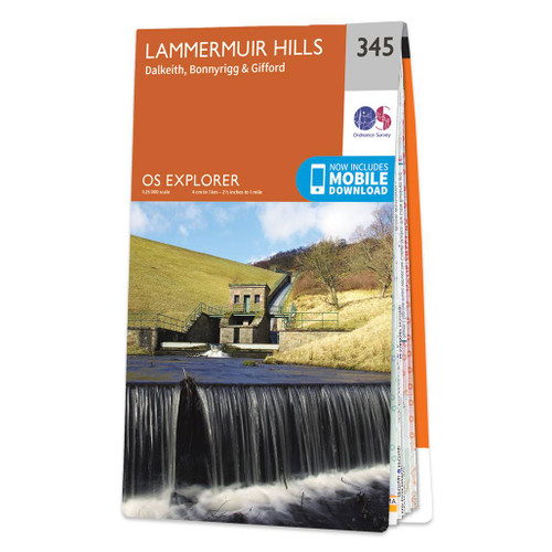
- Lammermuir Hills - Dalkeith, Bonnyrigg & Gifford OS Explorer Map 345 (paper)
- Lammermuir Hills, Dalkeith, Bonnyrigg and Gifford area on a detailed topographic and GPS compatible map No. 345, paper version, from the Ordnance Survey’s 1:25,000 Explorer series.MOBILE DOWNLOADS: this title and all the other OS Explorer maps include a code for downloading after purchase the digital version onto your smartphone or tablet for... Read more

- Also available from:
- De Zwerver, Netherlands
- Stanfords, United Kingdom
De Zwerver
Netherlands
Netherlands

Stanfords
United Kingdom
United Kingdom
- Nithsdale, Annandale, Sanquhar & Moffat OS Landranger Map 78 (paper)
- Paper version of map No. 78 from the Ordnance Survey’s Landranger series at 1:50,000, with contoured and GPS compatible topographic mapping plus tourist information.MOBILE DOWNLOADS: As well as the physical edition of the map, each Landranger title now includes a code for downloading after purchase its digital version onto your smartphone or... Read more

- Also available from:
- De Zwerver, Netherlands
- Stanfords, United Kingdom
De Zwerver
Netherlands
2015
Netherlands
2015

Stanfords
United Kingdom
2015
United Kingdom
2015
- Colonsay & Oronsay OS Explorer Map 354 (paper)
- The islands of Colonsay and Oronsay on a detailed topographic and GPS compatible map No. 354, paper version, from the Ordnance Survey’s 1:25,000 Explorer series. MOBILE DOWNLOADS: this title and all the other OS Explorer maps include a code for downloading after purchase the digital version onto your smartphone or tablet for viewing on the OS... Read more

- Also available from:
- De Zwerver, Netherlands
- Stanfords, United Kingdom
De Zwerver
Netherlands
Netherlands

Stanfords
United Kingdom
United Kingdom
- Falkirk, Linlithgow & Dunfermline OS Landranger Map 65 (paper)
- Paper version of map No. 65 from the Ordnance Survey’s Landranger series at 1:50,000, with contoured and GPS compatible topographic mapping plus tourist information.MOBILE DOWNLOADS: As well as the physical edition of the map, each Landranger title now includes a code for downloading after purchase its digital version onto your smartphone or... Read more

- Also available from:
- De Zwerver, Netherlands
- Stanfords, United Kingdom

De Zwerver
Netherlands
Netherlands

Stanfords
United Kingdom
United Kingdom
- Cowal East - Dunoon & Inveraray OS Explorer Map OL37 (paper)
- Cowal East area of central Scotland on a detailed topographic and GPS compatible map OL37, paper version, from the Ordnance Survey’s 1:25,000 Explorer series. Coverage includes a section of the Loch Lomond and The Trossachs National Park with parts of the Queen Elizabeth Forest Park and the Argyll Forest Park, Dunoon, Inveraray, Loch Long, Loch... Read more

- Also available from:
- De Zwerver, Netherlands
- Stanfords, United Kingdom
De Zwerver
Netherlands
2015
Netherlands
2015

Stanfords
United Kingdom
2015
United Kingdom
2015
- Stranraer & The Rhins OS Explorer Map 309 (paper)
- Stranraer and The Rhins area on a detailed topographic and GPS compatible map No. 309, paper version, from the Ordnance Survey’s 1:25,000 Explorer series.MOBILE DOWNLOADS: this title and all the other OS Explorer maps include a code for downloading after purchase the digital version onto your smartphone or tablet for viewing on the OS... Read more

- Also available from:
- De Zwerver, Netherlands
Karten

The Book Depository
United Kingdom
2021
United Kingdom
2021
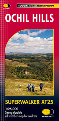
- Ochil Hills
- The Ochil Hills north of Stirling at 1:25,000 on a waterproof and tear-resistant map from Harvey Map Services in their Superwalker series. Coverage extends from the Bridge of Allan in the south-west to Auchterarder in the north. The map is double-sided, with a generous overlap between the sides, and includes three enlargements showing in... Read more
- Also available from:
- De Zwerver, Netherlands
- Stanfords, United Kingdom
De Zwerver
Netherlands
2021
Netherlands
2021
- Wandelkaart Ochil Hills | Harvey Maps
- The Ochil Hills north of Stirling at 1:25,000 on a waterproof and tear-resistant map from Harvey Map Services in their Superwalker series. Coverage extends from the Bridge of Allan in the south-west to Auchterarder in the north. The map is double-sided, with a generous overlap between the sides, and includes three enlargements showing in... Read more

Stanfords
United Kingdom
2021
United Kingdom
2021
- Ochil Hills Harvey Superwalker XT25
- The Ochil Hills north of Stirling at 1:25,000 on a waterproof and tear-resistant map from Harvey Map Services in their Superwalker series. Coverage extends from the Bridge of Allan in the south-west to Auchterarder in the north. The map is double-sided, with a generous overlap between the sides, and includes three enlargements showing in... Read more

The Book Depository
United Kingdom
2018
United Kingdom
2018
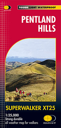
- Pentland Hills XT25
- Pentland Hills on the outskirts of Edinburgh at 1:25,000 on a waterproof and tear-resistant map from Harvey Map Services in their Superwalker series. The map is orientated with north-west at the top to provide continuous coverage of the Pentlands on one handy size sheet.Maps in Harvey Read more
- Also available from:
- De Zwerver, Netherlands
- Stanfords, United Kingdom
De Zwerver
Netherlands
2018
Netherlands
2018
- Wandelkaart Pentland Hills | Harvey Maps
- Pentland Hills on the outskirts of Edinburgh at 1:25,000 on a waterproof and tear-resistant map from Harvey Map Services in their Superwalker series. The map is orientated with north-west at the top to provide continuous coverage of the Pentlands on one handy size sheet.Maps in Harvey Read more

Stanfords
United Kingdom
2018
United Kingdom
2018
- Pentland Hills Harvey Superwalker XT25
- Pentland Hills on the outskirts of Edinburgh at 1:25,000 on a waterproof and tear-resistant map from Harvey Map Services in their Superwalker series. The map is orientated with north-west at the top to provide continuous coverage of the Pentlands on one handy size sheet.PLEASE NOTE: this title is also available as a pocket-size Ultramap with... Read more

- Also available from:
- De Zwerver, Netherlands
- Stanfords, United Kingdom
De Zwerver
Netherlands
Netherlands
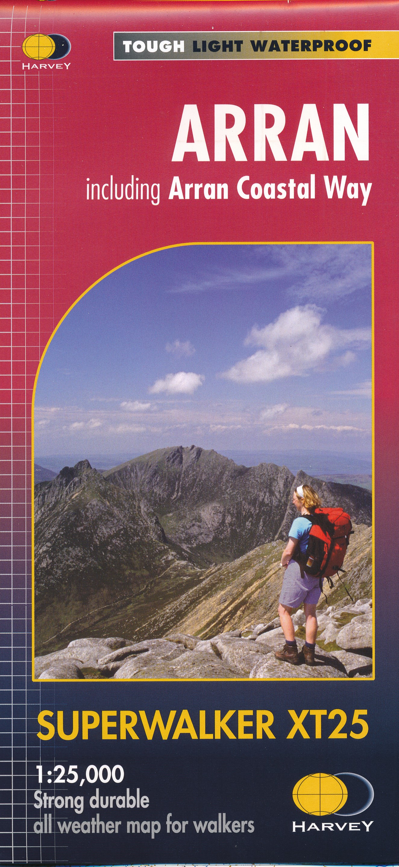
- Wandelkaart Arran including Arran Coastal Way | Harvey Maps
- The Scottish island of Arran at 1:25,000 on a double-sided, a waterproof and tear-resistant, GPS compatible map from Harvey Map Services in their Superwalker series, with highlighting for the Arran Coastal Way and a list of archaeological and historical sites. The map divides the island east/west, with a good overlap between the sides. The... Read more

Stanfords
United Kingdom
United Kingdom
- Arran - incl. Arran Coastal Way Harvey Superwalker XT25 Map
- The Scottish island of Arran at 1:25,000 on a double-sided, a waterproof and tear-resistant, GPS compatible map from Harvey Map Services in their Superwalker series, with highlighting for the Arran Coastal Way and with a list of archaeological and historical sites. The map divides the island east/west, with a good overlap between the sides. The... Read more
De Zwerver
Netherlands
2022
Netherlands
2022
Weitere …
