
Devon
Beschreibung
County in southwestern England, next to Cornwall. The North Devon Coastline is very wild and offers dramatic walking. Take the South West Coast Path. The south coast is different but not less interesting. Just continue the South West Coast Path and once you leave Cornwall you enter Devon again. Two other assets for hikers are Dartmoor and Exmoor, vast expansions of wet moorland laying on a hard rockbed.
Wanderwege Region
Links
Fakten
Berichte
Führer und Karten
Übernachtung
Organisationen
Reisebüros
GPS
Sonstiges
Bücher

- Also available from:
- De Zwerver, Netherlands
- Stanfords, United Kingdom

De Zwerver
Netherlands
Netherlands

Stanfords
United Kingdom
United Kingdom
- Bournemouth, Purbeck, Wimborne Minster & Ringwood OS Landranger Map 195 (paper)
- Bournemouth and the Isle of Purbeck area, including part of the New Forest National Park and a section of the South West Coast Path / E9 European Long-distance Path, on a paper version of map No. 195 from the Ordnance Survey’s Landranger series at 1:50,000, with contoured and GPS compatible topographic mapping plus tourist information.MOBILE... Read more

- Also available from:
- Stanfords, United Kingdom

Stanfords
United Kingdom
United Kingdom
- Plymouth, Launceston, Tavistock & Looe OS Landranger Active Map 201 (waterproof)
- Plymouth and Launceston area, including a section of the South West Coast Path National Trail, on a waterproof and tear-resistant OS Active version of map No. 201 from the Ordnance Survey’s Landranger series at 1:50,000, with contoured and GPS compatible topographic mapping plus tourist information.MOBILE DOWNLOADS: As well as the physical... Read more

- Also available from:
- De Zwerver, Netherlands
- Stanfords, United Kingdom

De Zwerver
Netherlands
Netherlands

Stanfords
United Kingdom
United Kingdom
- South Devon - Brixham to Newton Ferrers OS Explorer Map OL20 (paper)
- The coast of South Devon on a detailed topographic and GPS compatible map OL20, paper version, from the Ordnance Survey’s 1:25,000 Explorer series. The map extends westwards beyond Newton Ferrers to Plymouth, eastwards beyond Brixham to Torquay, and inland to include part of the Dartmoor National Park. Coverage includes Paignton, Totness,... Read more

- Also available from:
- De Zwerver, Netherlands
De Zwerver
Netherlands
Netherlands

- Also available from:
- De Zwerver, Netherlands
- Stanfords, United Kingdom
De Zwerver
Netherlands
Netherlands

Stanfords
United Kingdom
United Kingdom
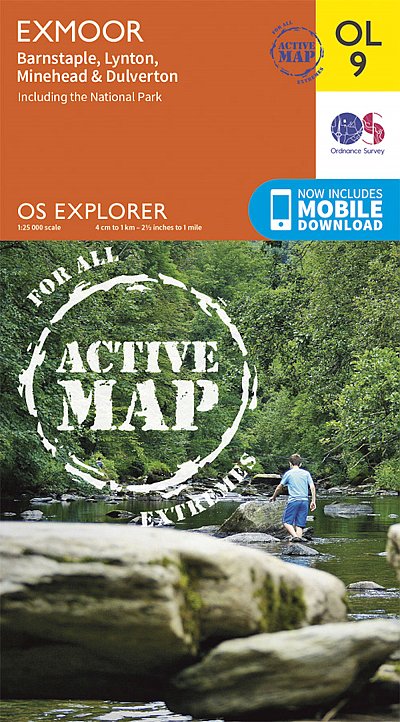
- Exmoor - Barnstaple, Lynton, Minehead & Dulverton OS Explorer Active Map OL9 (waterproof)
- The Exmoor National Park on a detailed topographic and GPS compatible map OL9, waterproof version, from the Ordnance Survey’s 1:25,000 Explorer series. Coverage extends westwards to Ilfracombe and Barnstaple and includes Minehead – the start of the South West Coast Path National Rrail, Lynton, Dulverton, sections of the Two Moors Way, Tarka... Read more


The Book Depository
United Kingdom
United Kingdom
- Exploring Green Lanes in North and North-West Devon
- And the Stories They Tell Read more
- Also available from:
- Stanfords, United Kingdom

Stanfords
United Kingdom
United Kingdom
- Exploring Green Lanes & the Stories they Tell: N. & NW Devon
- The green lanes of Devon have been walked by those who had to do so to earn their daily bread: from the silver mine workers of Combe Martin, the poachers of Littleham, the wool jobbers of Exmoor, the glovers of Torrington, the clay miners of Peters Marland, the Bible Christian farm worker preachers of North Lew, the rebel Captain Swing rioters... Read more

- Also available from:
- De Zwerver, Netherlands
- Stanfords, United Kingdom
De Zwerver
Netherlands
2015
Netherlands
2015

Stanfords
United Kingdom
2015
United Kingdom
2015
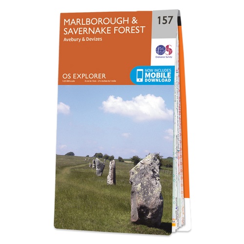
- Marlborough & Savernake Forest - Avebury & Devizes OS Explorer Map 157 (paper)
- Marlborough, Savernake Forest, Avebury and Devizes area on a detailed topographic and GPS compatible map No. 157, paper version, from the Ordnance Survey’s 1:25,000 Explorer series. MOBILE DOWNLOADS: this title and all the other OS Explorer maps include a code for downloading after purchase the digital version onto your smartphone or tablet for... Read more

- Also available from:
- De Zwerver, Netherlands
- Stanfords, United Kingdom
De Zwerver
Netherlands
2015
Netherlands
2015

Stanfords
United Kingdom
2015
United Kingdom
2015
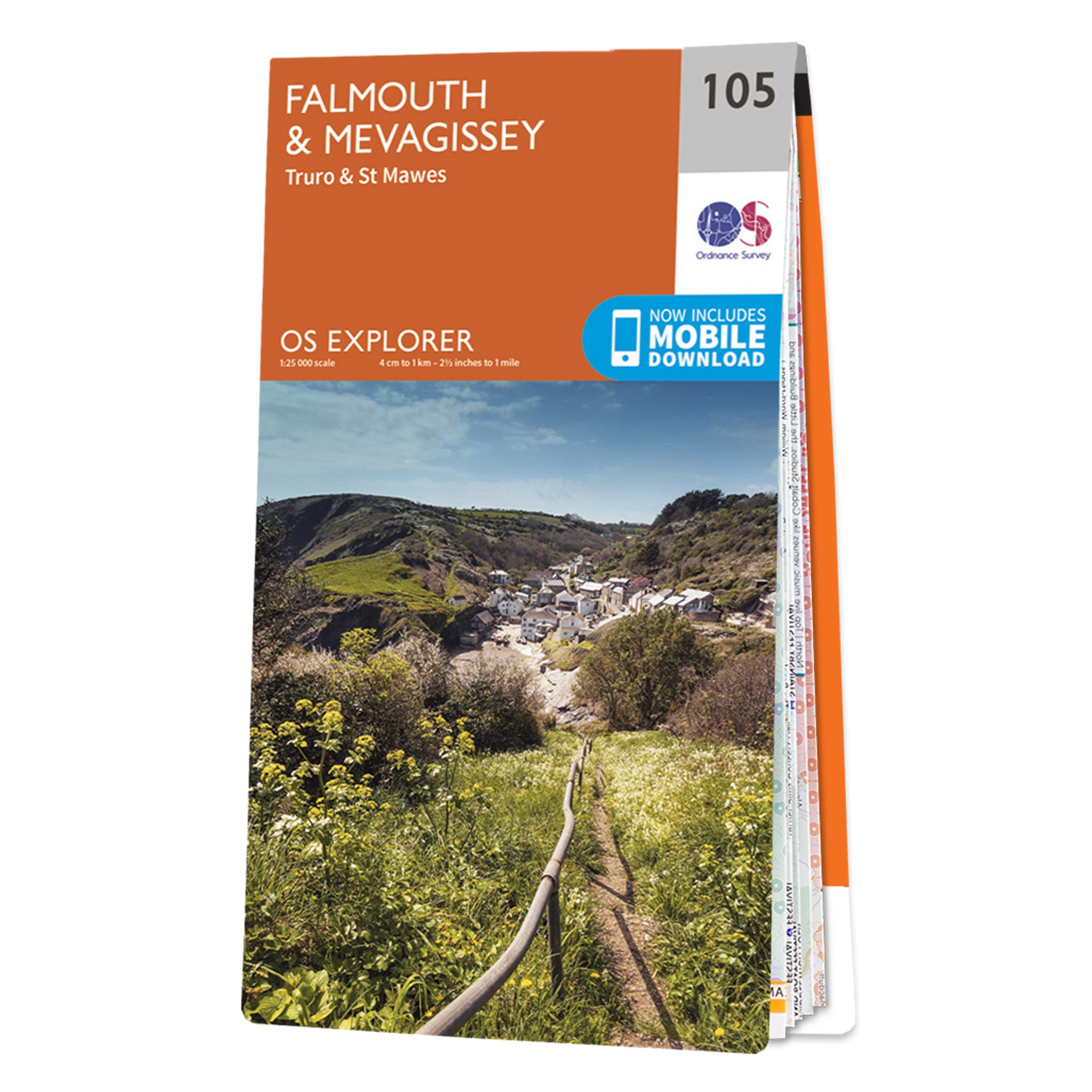
- Falmouth & Mevagissey - Truro & St Mawes OS Explorer Map 105 (paper)
- Falmouth, Mevagissey, Truro and St Mawes area on a detailed topographic and GPS compatible map No. 105, paper version, from the Ordnance Survey’s 1:25,000 Explorer series.MOBILE DOWNLOADS: this title and all the other OS Explorer maps include a code for downloading after purchase the digital version onto your smartphone or tablet for viewing on... Read more

- Also available from:
- De Zwerver, Netherlands
- Stanfords, United Kingdom
De Zwerver
Netherlands
2015
Netherlands
2015

Stanfords
United Kingdom
2015
United Kingdom
2015
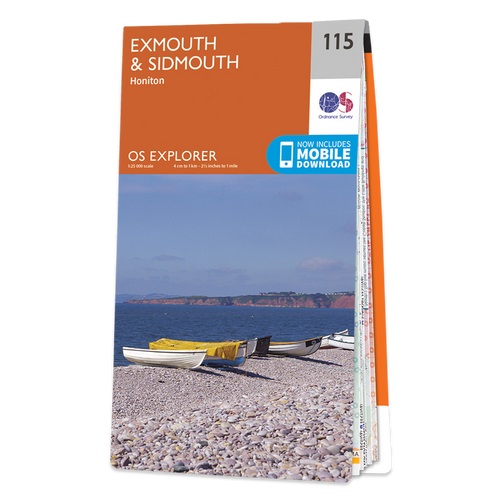
- Exmouth & Sidmouth - Honiton OS Explorer Map 115 (paper)
- Exmouth, Sidmouth and Honiton area on a detailed topographic and GPS compatible map No. 115, paper version, from the Ordnance Survey’s 1:25,000 Explorer series.MOBILE DOWNLOADS: this title and all the other OS Explorer maps include a code for downloading after purchase the digital version onto your smartphone or tablet for viewing on the OS... Read more

- Also available from:
- De Zwerver, Netherlands
- Stanfords, United Kingdom
De Zwerver
Netherlands
2015
Netherlands
2015

Stanfords
United Kingdom
2015
United Kingdom
2015
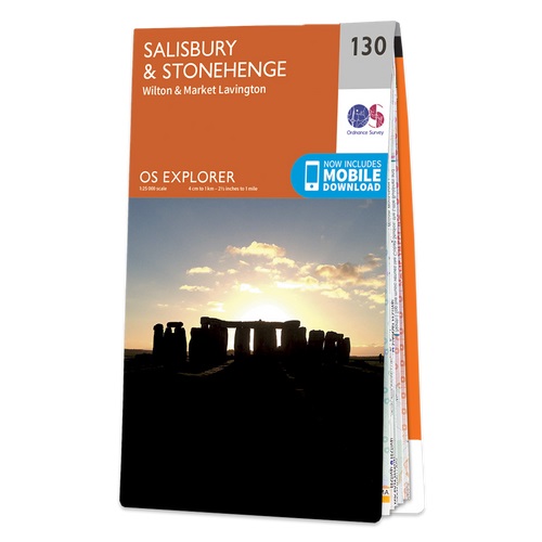
- Salisbury & Stonehenge - Wilton & Market Lavington OS Explorer Map 130 (paper)
- Salisbury, Stonehenge, Wilton and Market Lavington area on a detailed topographic and GPS compatible map No. 130, paper version, from the Ordnance Survey’s 1:25,000 Explorer series. MOBILE DOWNLOADS: this title and all the other OS Explorer maps include a code for downloading after purchase the digital version onto your smartphone or tablet for... Read more

- Also available from:
- De Zwerver, Netherlands
- Stanfords, United Kingdom
De Zwerver
Netherlands
2017
Netherlands
2017

Stanfords
United Kingdom
2017
United Kingdom
2017
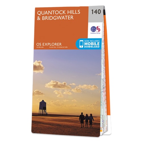
- Quantock Hills & Bridgwater OS Explorer Map 140 (paper)
- Quantock Hills & Bridgwater area on a detailed topographic and GPS compatible map No. 140, paper version, from the Ordnance Survey’s 1:25,000 Explorer series. MOBILE DOWNLOADS: this title and all the other OS Explorer maps include a code for downloading after purchase the digital version onto your smartphone or tablet for viewing on the OS... Read more

- Also available from:
- Stanfords, United Kingdom

Stanfords
United Kingdom
United Kingdom
- Taunton, Lyme Regis, Chard & Bridport OS Landranger Active Map 193 (waterproof)
- Taunton and Lyme Regis area, including a section of the South West Coast Path / E9 European Long-distance Path, on a waterproof and tear-resistant OS Active version of map No. 193 from the Ordnance Survey’s Landranger series at 1:50,000, with contoured and GPS compatible topographic mapping plus tourist information.MOBILE DOWNLOADS: As well as... Read more

The Book Depository
United Kingdom
United Kingdom
- Coastal Pub Walks: Dorset
- Walks to amazing pubs along the South West Coast Path Read more
- Also available from:
- Stanfords, United Kingdom

Stanfords
United Kingdom
United Kingdom
- Coastal Pub Walks: Dorset: Walks to amazing pubs along the South West Coast Path
- One of seven books in the new Top 10 Walks: South West Coast Path series, these attractive and cleverly structured guides will give walkers ten of the best short circular walks along each of the five sections of the 630-mile long South West Coast Path in a popular pocket-size format.With clear information, an overview and introduction for each... Read more
Weitere Bücher…

Karten

The Book Depository
United Kingdom
2010
United Kingdom
2010
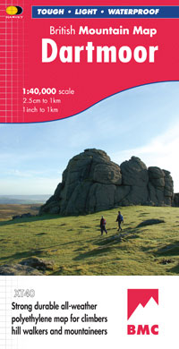
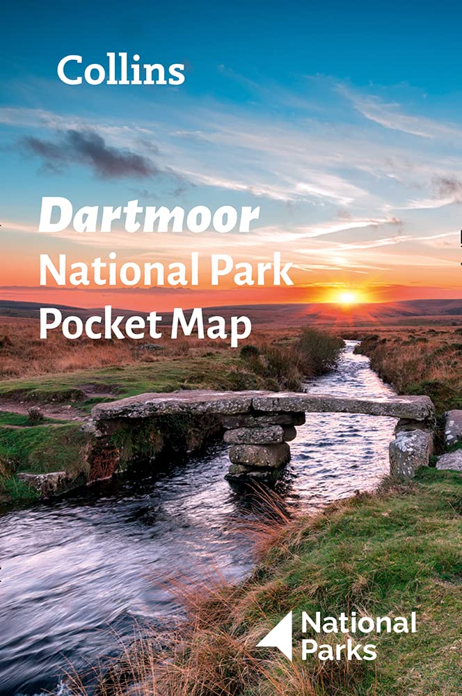
- Dartmoor
- Double-sided waterproof mountain map of Dartmoor from Harvey at 1:40,000, with a geological map of the region on the reverse, and advice on navigating the region safely.MAIN MAP: Topography is shown through clear altitude shading, spot heights, contours at 15m intervals, and index contours at 75m intervals. A variety of symbols are used to show... Read more
- Also available from:
- De Zwerver, Netherlands
- Stanfords, United Kingdom
De Zwerver
Netherlands
2010
Netherlands
2010
- Wandelkaart Dartmoor | Harvey Maps
- Double-sided waterproof mountain map of Dartmoor from Harvey at 1:40,000, with a geological map of the region on the reverse, and advice on navigating the region safely.MAIN MAP: Topography is shown through clear altitude shading, spot heights, contours at 15m intervals, and index contours at 75m intervals. A variety of symbols are used to show... Read more

Stanfords
United Kingdom
2010
United Kingdom
2010
- Dartmoor Harvey British Mountain Map XT40
- Double-sided waterproof mountain map of Dartmoor from Harvey at 1:40,000, with a geological map of the region on the reverse, and advice on navigating the region safely.*MAIN MAP:* Topography is shown through clear altitude shading, spot heights, contours at 15m intervals, and index contours at 75m intervals. A variety of symbols are used to... Read more
De Zwerver
Netherlands
2022
Netherlands
2022

De Zwerver
Netherlands
2012
Netherlands
2012
- Fietskaart Dartmoor | Harvey Maps
- Dartmoor on a double-sided, light, waterproof and tear-resistant map providing on one side a map at 1:60,000 covering a wider area between Exeter and Plymouth, with on the reverse the Dartmoor National Park at 1:40,000 with highlighting for off-road cycle trails.On one side a map at 1:60,000 covers the area between Exeter and Plymouth. The map... Read more
- Also available from:
- Stanfords, United Kingdom

Stanfords
United Kingdom
2012
United Kingdom
2012
- Dartmoor for Cyclists
- Dartmoor on a double-sided, light, waterproof and tear-resistant map providing on one side a map at 1:60,000 covering a wider area between Exeter and Plymouth, with on the reverse the Dartmoor National Park at 1:40,000 with highlighting for off-road cycle trails.On one side a map at 1:60,000 covers the area between Exeter and Plymouth. The map... Read more
De Zwerver
Netherlands
Netherlands
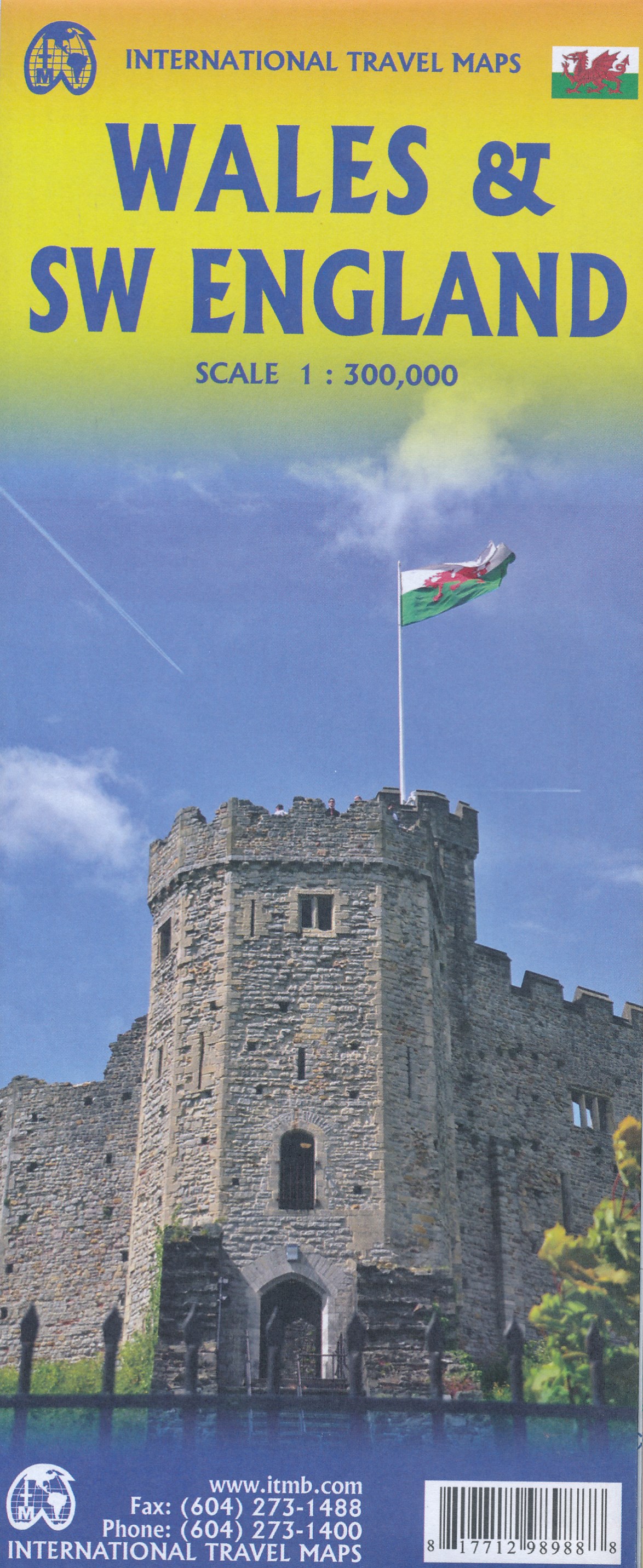
- Wegenkaart - landkaart Wales & southwest England | ITMB
- Wales & SW England 1:300 000 ab 10.49 EURO doppelseitig Wales SW England/West Country - Cornwall, Devon & Somerset International Travel Map ITM. 1. Auflage Read more
De Zwerver
Netherlands
2022
Netherlands
2022

De Zwerver
Netherlands
Netherlands
- Wegenkaart - landkaart Cornwall | Freytag & Berndt
- Cornwall 1 : 150 000. Autokarte ab 10.9 EURO Citypläne. Ortsregister mit Postleitzahlen. Touristische Informationen Freytag & Berndt Autokarte. Neuauflage, Laufzeit bis 2019 Read more
- Also available from:
- Stanfords, United Kingdom

Stanfords
United Kingdom
United Kingdom
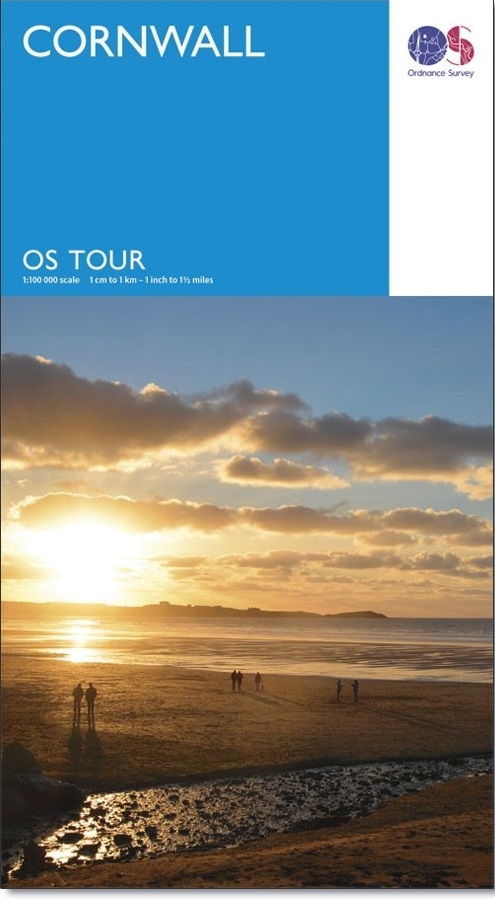
- Cornwall OS Tour Map 1
- OS Tour map 1 covers Cornwall in 1:100 000 scale and is ideal for planning holidays and day trips. This map shows all the key roads, towns, villages places of interest in the area. It also includes detailed street maps of selected towns and an index of place names to help you find your way around this popular holiday destination. Read more