
Isle of Man
Beschreibung
The Isle of Man lies halfway between England and Northern Ireland. The island measures about 20 by 50 km. The island offers several hiking trails, the best known of which is Raad ny Foillan or Way of the Gull or Isle of Man Coastal Path, a 150km path around the coast.
Wanderwege Region
Links
Fakten
Berichte
Führer und Karten
Übernachtung
Organisationen
Reisebüros
GPS
Sonstiges
Bücher

- Also available from:
- De Zwerver, Netherlands
- Stanfords, United Kingdom

De Zwerver
Netherlands
Netherlands

Stanfords
United Kingdom
United Kingdom
- The Solent, Isle of Wight, Southampton & Portsmouth OS Landranger Map 196 (paper)
- Isle of Wight with the Southampton - Portsmouth area, including part of the New Forest National Park and a section of the E9 European Long-distance Path, on a paper version of map No. 196 from the Ordnance Survey’s Landranger series at 1:50,000, with contoured and GPS compatible topographic mapping plus tourist information.MOBILE DOWNLOADS: As... Read more

The Book Depository
United Kingdom
United Kingdom

- Also available from:
- De Zwerver, Netherlands
- Stanfords, United Kingdom
De Zwerver
Netherlands
Netherlands

Stanfords
United Kingdom
United Kingdom
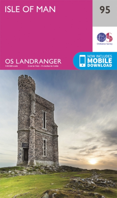
- Isle of Man OS Landranger Map 95 (paper)
- Paper version of map No. 95 from the Ordnance Survey’s Landranger series at 1:50,000, with contoured and GPS compatible topographic mapping plus tourist information.MOBILE DOWNLOADS: As well as the physical edition of the map, each Landranger title now includes a code for downloading after purchase its digital version onto your smartphone or... Read more

- Also available from:
- Stanfords, United Kingdom

Stanfords
United Kingdom
United Kingdom
- Isle of Man OS Landranger Active Map 95 (waterproof)
- Waterproof and tear-resistant OS Active version of map No. 95 from the Ordnance Survey’s Landranger series at 1:50,000, with contoured and GPS compatible topographic mapping plus tourist information.MOBILE DOWNLOADS: As well as the physical edition of the map, each Landranger title now includes a code for downloading after purchase its digital... Read more

The Book Depository
United Kingdom
2019
United Kingdom
2019
- The Big Rounds
- Running and walking the Bob Graham, Paddy Buckley and Charlie Ramsay Rounds Read more


Stanfords
United Kingdom
2015
United Kingdom
2015
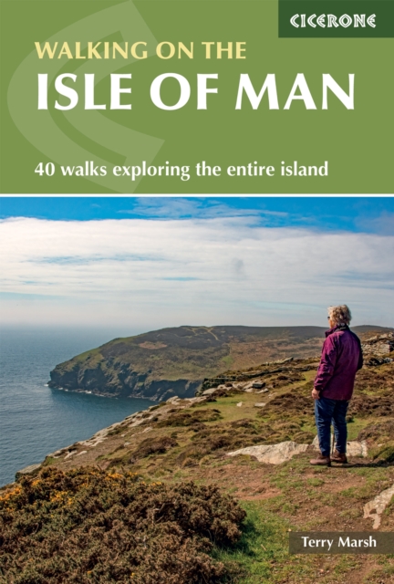
- Isle of Man Walking
- 40 half to full day walks on the coast and fells of the Isle of Man are explored in this guide book. Most of the walks are short and accessible for walkers of all abilities. For walkers looking for a greater challenge, there are longer adventures and plenty of opportunities to combine routes. Walking on the Isle of Man is a clear demonstration... Read more
Bol.com
Netherlands
Netherlands
- Eifel Mehrtagestouren
- Das wilde Kylltal, die waldgrüne Karsteifel mit dem riesigen Radioteleskop auf dem Effelsberg, die Sauertalschleife, der liebliche Lieserpfad, durchs Hohe Venn auf Belgiens höchsten Berg (694 m), der Eifelstieg einmal anders, ein Gipfelsturm auf die Hohe Acht, Tour d'europe nach Luxemburg hinein, der Rotweinwanderweg auf unbekannten Umwegen und... Read more
- Also available from:
- Bol.com, Belgium
Bol.com
Belgium
Belgium
- Eifel Mehrtagestouren
- Das wilde Kylltal, die waldgrüne Karsteifel mit dem riesigen Radioteleskop auf dem Effelsberg, die Sauertalschleife, der liebliche Lieserpfad, durchs Hohe Venn auf Belgiens höchsten Berg (694 m), der Eifelstieg einmal anders, ein Gipfelsturm auf die Hohe Acht, Tour d'europe nach Luxemburg hinein, der Rotweinwanderweg auf unbekannten Umwegen und... Read more
Bol.com
Netherlands
Netherlands
- The Isle of Man
- The scope for walking on the Isle of Man is considerable. Being an island, and a smallish one at that, many walks touch upon the coastline at some point, and it is probably true to say that on every walk in this book you can see the sea at some stage, ensuring that each of the walks has its own very distinctive flavour. The guide includes: 40... Read more
- Also available from:
- Bol.com, Belgium
Bol.com
Belgium
Belgium
- The Isle of Man
- The scope for walking on the Isle of Man is considerable. Being an island, and a smallish one at that, many walks touch upon the coastline at some point, and it is probably true to say that on every walk in this book you can see the sea at some stage, ensuring that each of the walks has its own very distinctive flavour. The guide includes: 40... Read more
De Zwerver
Netherlands
Netherlands
- Wegenkaart - landkaart 3325 Adventure Map United Kingdom - Verenigd Koninkrijk - Engeland | National Geographic
- Waterproof Tear-Resistant Travel MapNational Geographic's United Kingdom AdventureMap is designed to meet the needs of adventure travelers with its durability and detailed, accurate information. This map includes the locations of cities and towns with a user-friendly index, a clearly marked road network complete with distances and... Read more
- Also available from:
- Bol.com, Netherlands
- Bol.com, Belgium
Bol.com
Netherlands
Netherlands
- United Kingdom
- Waterproof Tear-Resistant Travel MapNational Geographic's United Kingdom AdventureMap is designed to meet the needs of adventure travelers with its durability and detailed, accurate information. This map includes the locations of cities and towns with a user-friendly index, a clearly marked road network complete with distances and... Read more
Bol.com
Belgium
Belgium
- United Kingdom
- Waterproof Tear-Resistant Travel MapNational Geographic's United Kingdom AdventureMap is designed to meet the needs of adventure travelers with its durability and detailed, accurate information. This map includes the locations of cities and towns with a user-friendly index, a clearly marked road network complete with distances and... Read more

Bol.com
Netherlands
Netherlands
- Regionale Identitat Im Fuball Am Beispiel Des FC Liverpool
- Studienarbeit aus dem Jahr 2009 im Fachbereich Sport - Sportsoziologie, Note: 2,0, Carl von Ossietzky Universität Oldenburg (Sportwissenschaft), Veranstaltung: Sport und regionale Identität, Sprache: Deutsch, Abstract: 'When you walk through a storm, hold your head up high and don´t be afraid of the dark. At the end of a storm, there´s a golden... Read more
- Also available from:
- Bol.com, Belgium
Bol.com
Belgium
Belgium
- Regionale Identitat Im Fuball Am Beispiel Des FC Liverpool
- Studienarbeit aus dem Jahr 2009 im Fachbereich Sport - Sportsoziologie, Note: 2,0, Carl von Ossietzky Universität Oldenburg (Sportwissenschaft), Veranstaltung: Sport und regionale Identität, Sprache: Deutsch, Abstract: 'When you walk through a storm, hold your head up high and don´t be afraid of the dark. At the end of a storm, there´s a golden... Read more

Bol.com
Netherlands
Netherlands
- Big Earth
- As the producer and director of some of TV's most successful travel series - The Long Way Down , The Long Way Round , Race to Dakar and By Any Means - Russ Malkin is an expert in adventure travel. Here, in Big Earth - 101 Amazing Adventures , which has a foreword by Ewan McGregor and Charley Boorman, Russ talks us through his favourite... Read more
- Also available from:
- Bol.com, Belgium
Bol.com
Belgium
Belgium
- Big Earth
- As the producer and director of some of TV's most successful travel series - The Long Way Down , The Long Way Round , Race to Dakar and By Any Means - Russ Malkin is an expert in adventure travel. Here, in Big Earth - 101 Amazing Adventures , which has a foreword by Ewan McGregor and Charley Boorman, Russ talks us through his favourite... Read more
Karten
De Zwerver
Netherlands
Netherlands
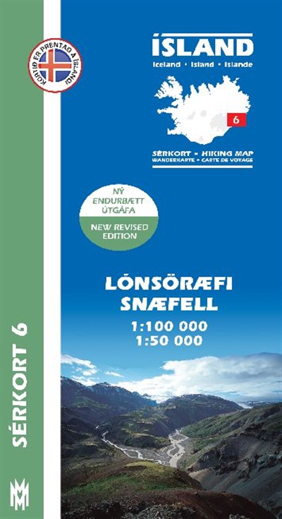
- Wandelkaart 06 Serkort Lónsöræfi - Snæfell - IJsland | Mal og Menning
- De wandelkaartenserie van Mal og Menning is bijzonder duidelijk en geschikt voor alle recreatieve doeleinden, ze zijn gebaseerd op de topografische kaarten van IJsland. De kaart laat een gedetailleerd beeld zien van de landschapskenmerken, hoogtelijnen op basis van 20 m. met hoogtepunten apart vermeld. Verschil in kleur en symbolen geven een... Read more
- Also available from:
- Stanfords, United Kingdom

Stanfords
United Kingdom
United Kingdom
- Lónsöræfi - Snæfell
- Lónsöræfi - Snæfell area of Iceland at 1:100,000 in a series of detailed hiking and recreational topographic maps from Mál og menning - the country`s leading cartographic publishers, with beautiful drawings of local birds and tourist information. An enlargement shows the Snæfell area in greater detail at 1:50,000.The maps in this series... Read more

Stanfords
United Kingdom
United Kingdom
- Isle of Man 1921
- Map No. 95, Isle of Man 1925, in the Cassini Historical Series of old Ordnance Survey mapping of England and Wales at 1:50,000 in a format designed to offer a convenient comparison with the present day coverage from the OS, and most locations in three different editions. Old historical maps have been combined so that the sheet lines correspond... Read more

Stanfords
United Kingdom
United Kingdom
- ADMIRALTY Leisure Folio SC 5613 - Irish Sea, Eastern Part including Isle of Man SUPERCEDED
- NEW EDITION OUT ON 10/09/2020Irish Sea - Eastern Part including Isle of Man Chart Pack is a leisure folio of forty two admiralty charts, recognized by the MCA as meeting UK national chart carriage requirements for fishing vessels under 24m and for MCA coded vessels under 24m.Folio includes:1 - Great Ormes Head to Haveraig Point 1:200,000 56132... Read more

Stanfords
United Kingdom
United Kingdom
- 2000 Plus England: 254 Summits over 2000ft.
- The 2000 Plus map of England showing summits over 2000ft (609.6m), together with markings for subsidiary tops and minor summits, combining them into 16 groups listed with full details and presented with mountain profiles.The main map at 1:250,000 shows the Pennines, with three insets at 1:350,000 covering the Peak District, Dartmoor and the... Read more

Stanfords
United Kingdom
United Kingdom
- Ordnance Survey Landranger Maps: Complete Set
- OS Landranger maps at 1:50 000 scale show all the main landscape features - roads, settlements, terrain and points of interest. This bundle covers the whole of Great Britain in a 204 map set, which includes the British Mainland, Scottish Islands and Isle of Man. Read more

Stanfords
United Kingdom
United Kingdom
- Admiralty Chart 2696 - Plans in the Isle of Man
- NEW EDITION OUT ON 01/08/2019Plans included in this chart:A Douglas Bay 1:7,500B Ramsey Bay 1:10,000C Castletown Bay 1:20,000D Calf Sound 1:10,000E Peel 1:10,000F Port Erin 1:10,000G Bay Ny Carrickey 1:20,000Admiralty standard nautical charts comply with Safety of Life at Sea (SOLAS) regulations and are ideal for professional, commercial and... Read more

Stanfords
United Kingdom
United Kingdom
- ADMIRALTY Leisure Folio SC 5613 - Irish Sea, Eastern Part including Isle of Man
- NEW EDITION OUT ON 10/09/2020Irish Sea - Eastern Part including Isle of Man Chart Pack is a leisure folio of forty two admiralty charts, recognized by the MCA as meeting UK national chart carriage requirements for fishing vessels under 24m and for MCA coded vessels under 24m.Folio includes:1 - Great Ormes Head to Haveraig Point 1:200,000 56132... Read more
Stanfords
United Kingdom
United Kingdom
- Isle of Man 1874
- Map No. 95, Isle of Man 1874, in the Cassini Historical Series of old Ordnance Survey mapping of England and Wales at 1:50,000 in a format designed to offer a convenient comparison with the present day coverage from the OS, and most locations in three different editions. Old historical maps have been combined so that the sheet lines correspond... Read more