
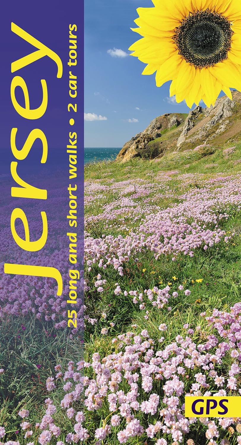
Jersey
Beschreibung
Largest of the Channel Islands, "belonging" to the United Kingdom, but located near the Normandy coast of France. The interior consists of farmland. The coastline can be hiked.
Wanderwege Region
Links
Fakten
Berichte
Führer und Karten
Übernachtung
Organisationen
Reisebüros
GPS
Sonstiges
Bücher

The Book Depository
United Kingdom
United Kingdom
- 60 Hikes Within 60 Miles: Philadelphia
- Including Surrounding Counties and Outlying Areas of New Jersey and Delaware Read more

The Book Depository
United Kingdom
2021
United Kingdom
2021
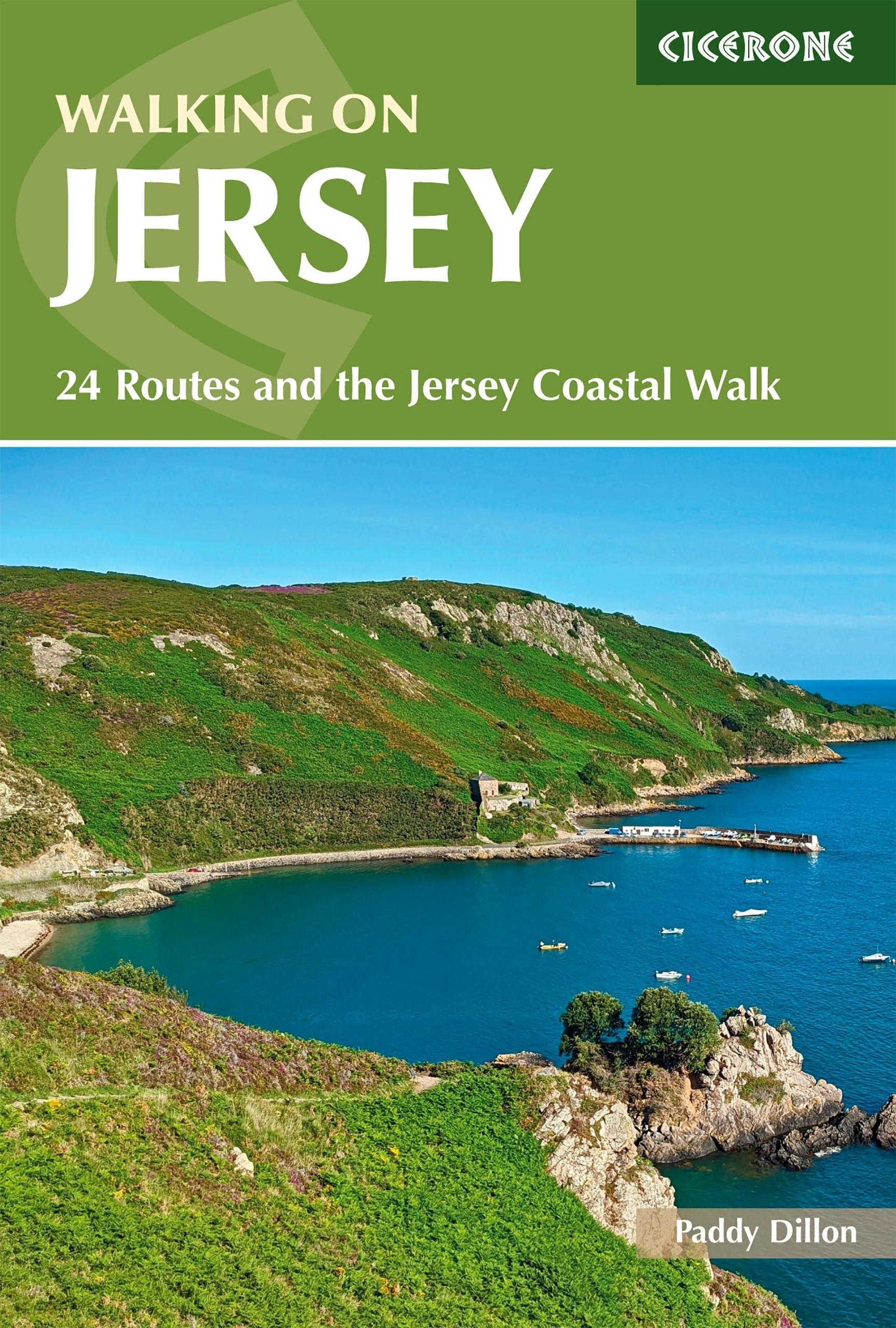
- Walking on Jersey
- 24 routes and the Jersey Coastal Walk Read more
- Also available from:
- De Zwerver, Netherlands
- Stanfords, United Kingdom
De Zwerver
Netherlands
2021
Netherlands
2021
- Wandelgids Walking on Jersey | Cicerone
- Guidebook describing 24 coastal and inland walks on the island of Jersey, ranging from 4.5km (3 miles) to 12.5km (8 miles) in length. Almost all of the walks link directly with one or two other walks, allowing all kinds of extensions to the route. The walks can also be joined together to create the 80km (50 mile) Jersey Coastal Walk, part of... Read more

Stanfords
United Kingdom
2021
United Kingdom
2021
- Walking on Jersey: 24 routes and the Jersey Coastal Walk
- Guidebook describing 24 coastal and inland walks on the island of Jersey, ranging from 4.5km (3 miles) to 12.5km (8 miles) in length. Almost all of the walks link directly with one or two other walks, allowing all kinds of extensions to the route. The walks can also be joined together to create the 80km (50 mile) Jersey Coastal Walk, part of... Read more


The Book Depository
United Kingdom
United Kingdom
- 60 Hikes Within 60 Miles: New York City
- Including Northern New Jersey, Southwestern Connecticut, and Western Long Island Read more

The Book Depository
United Kingdom
United Kingdom
- Rail-Trails New Jersey & New York
- The definitive guide to the region's top multiuse trails Read more

The Book Depository
United Kingdom
United Kingdom


The Book Depository
United Kingdom
United Kingdom
- Nature Walks in New Jersey
- AMC Guide to the Best Trails from the Highlands to Cape May Read more
De Zwerver
Netherlands
2022
Netherlands
2022

De Zwerver
Netherlands
Netherlands
Weitere Bücher…
Karten

- Also available from:
- Stanfords, United Kingdom

Stanfords
United Kingdom
United Kingdom
- Delaware Water Gap NJ/PA
- Map No. 737, Delaware Water Gap between Pennsylvania and New Jersey at 1:40,000, in an extensive series of GPS compatible, contoured hiking maps of USA’s national and state parks or forests and other popular recreational areas. Cartography is based on the national topographic survey, with additional tourist information.The maps, with most... Read more

Stanfords
United Kingdom
United Kingdom
- Tour de Manche Vol. 2: Northern Brittany - Devon/Dorset - Channel Is. Cycle Route (580km)
- Tour de Manche Vol.2: de St-Malo à St-Malo cycling guide covering a 580km long-distance cross-Channel route from St-Malo along the northern coast of Brittany to Roscoff, across the Channel to Plymouth, inland around Dartmoor National Park to Exeter and westwards to Weymouth, and from there back to St-Malo via Guernsey and Jersey.Within France... Read more

Stanfords
United Kingdom
United Kingdom
- Jersey Official Leisure Map
- This folded sheet map of Jersey at a scale of 1:25,000 is a printout of the Jersey Digital Map compiled by the States of Jersey. Includes tourist and leisure information. Contours are shown at 5m intervals. Read more

Stanfords
United Kingdom
United Kingdom
- 2500 The Channel Islands and adjacent coast of France Chart Atlas - 2017 edition
- In new A2 atlas format suitable for use on small chart tables and in the cockpit. Printed on high quality cartridge paper, this 2017 edition is wirobound and supplied in a durable plastic wallet. 1. Approaches to the Channel Islands (1: 500 000) 2. Cap Barfleur to Alderney (1: 150 000) Plans Cherbourg (1:40 000) Port de Chantereyne (Cherbourg)... Read more

Stanfords
United Kingdom
United Kingdom
- New York City Borch
- Very clear, indexed street plan on durable laminated paper showing southern and central Manhattan at 1:15,000, with a more general road map of the Five Boroughs area on the reverse. Detail includes one-way streets, notable and public buildings, pedestrian zones, railway and subway stations (indicating lines served at each station), and ferry... Read more

Stanfords
United Kingdom
United Kingdom
- Tour de Manche Vol. 1: North-West Normandy - Channel Is. - South Dorset Cycle Route (505km)
- Tour de Manche Vol.1: North-Western Normandy - Channel Islands - Southern Dorset Cycle Route, an A5 spiral-bound cycling guide from Itinerance a Vélo showing the 505km-long cross-Channel route on 50 map panels, plus contact addresses for recommended accommodation, cycle shops, etc. Information provided for the Channel Islands and the Dorset... Read more