
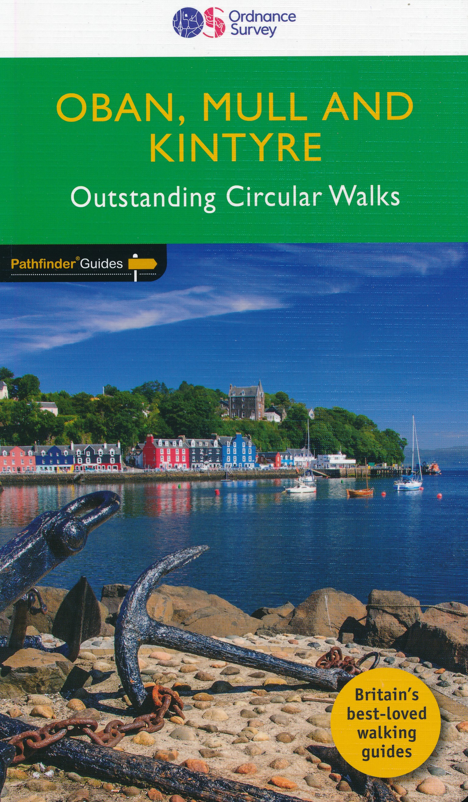
Kintyre
Beschreibung
Peninsula in western Scotland. The far end almost touches Ireland. One overlooks other Scottish islands: Arran, Islay, Jura.
Wanderwege Region
Links
Fakten
Berichte
Führer und Karten
Übernachtung
Organisationen
Reisebüros
GPS
Sonstiges
Bücher

- Also available from:
- Stanfords, United Kingdom

Stanfords
United Kingdom
United Kingdom
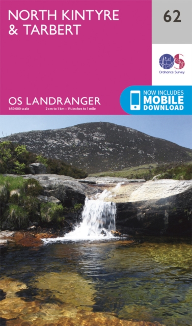
- North Kintyre & Tarbert OS Landranger Active Map 62 (waterproof)
- Waterproof and tear-resistant OS Active version of map No. 62 from the Ordnance Survey’s Landranger series at 1:50,000, with contoured and GPS compatible topographic mapping plus tourist information.MOBILE DOWNLOADS: As well as the physical edition of the map, each Landranger title now includes a code for downloading after purchase its digital... Read more

- Also available from:
- De Zwerver, Netherlands
- Stanfords, United Kingdom
De Zwerver
Netherlands
2015
Netherlands
2015

Stanfords
United Kingdom
2015
United Kingdom
2015
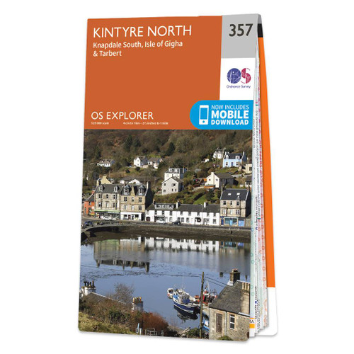
- Kintyre North - Knapdale South, Tarbert & Isle of Gigha OS Explorer Map 357 (paper)
- North Kintyre, South Knapdale with Tarbert and Isle of Gigha on a detailed topographic and GPS compatible map No. 357, paper version, from the Ordnance Survey’s 1:25,000 Explorer series.MOBILE DOWNLOADS: this title and all the other OS Explorer maps include a code for downloading after purchase the digital version onto your smartphone or tablet... Read more

- Also available from:
- De Zwerver, Netherlands
De Zwerver
Netherlands
2022
Netherlands
2022

- Also available from:
- De Zwerver, Netherlands
- Stanfords, United Kingdom
De Zwerver
Netherlands
2015
Netherlands
2015

Stanfords
United Kingdom
2015
United Kingdom
2015
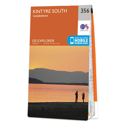
- Kintyre South - Campbeltown OS Explorer Map 356 (paper)
- South Kintyre with Campbeltown on a detailed topographic and GPS compatible map No. 356, paper version, from the Ordnance Survey’s 1:25,000 Explorer series. MOBILE DOWNLOADS: this title and all the other OS Explorer maps include a code for downloading after purchase the digital version onto your smartphone or tablet for viewing on the OS... Read more

- Also available from:
- Stanfords, United Kingdom

Stanfords
United Kingdom
United Kingdom
- Kintyre South - Campbeltown OS Explorer Active Map 356 (waterproof)
- South Kintyre with Campbeltown on a detailed topographic and GPS compatible map No. 356, waterproof version, from the Ordnance Survey’s 1:25,000 Explorer series. MOBILE DOWNLOADS: this title and all the other OS Explorer maps include a code for downloading after purchase the digital version onto your smartphone or tablet for viewing on the OS... Read more

- Also available from:
- Stanfords, United Kingdom

Stanfords
United Kingdom
United Kingdom
- Kintyre North - Knapdale South, Tarbert & Isle of Gigha OS Explorer Active Map 357 (waterproof)
- North Kintyre, South Knapdale with Tarbert and Isle of Gigha on a detailed topographic and GPS compatible map No. 357, waterproof version, from the Ordnance Survey’s 1:25,000 Explorer series. MOBILE DOWNLOADS: this title and all the other OS Explorer maps include a code for downloading after purchase the digital version onto your smartphone or... Read more

- Also available from:
- De Zwerver, Netherlands
- Stanfords, United Kingdom
De Zwerver
Netherlands
Netherlands

Stanfords
United Kingdom
United Kingdom
- North Kintyre & Tarbert OS Landranger Map 62 (paper)
- Paper version of map No. 62 from the Ordnance Survey’s Landranger series at 1:50,000, with contoured and GPS compatible topographic mapping plus tourist information.MOBILE DOWNLOADS: As well as the physical edition of the map, each Landranger title now includes a code for downloading after purchase its digital version onto your smartphone or... Read more

- Also available from:
- De Zwerver, Netherlands
- Stanfords, United Kingdom
De Zwerver
Netherlands
Netherlands

Stanfords
United Kingdom
United Kingdom
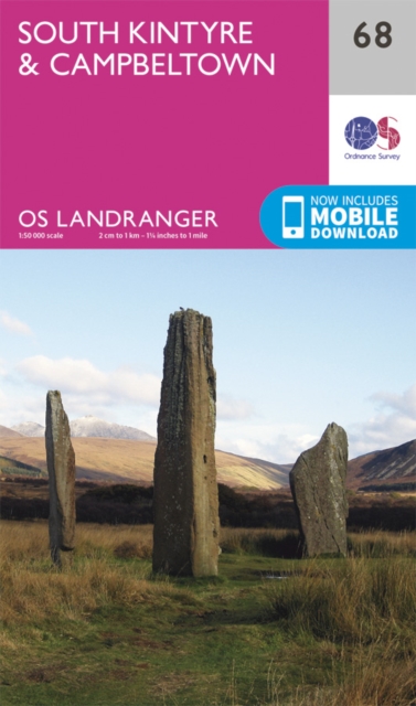
- South Kintyre & Campbeltown OS Landranger Map 68 (paper)
- Paper version of map No. 68 from the Ordnance Survey’s Landranger series at 1:50,000, with contoured and GPS compatible topographic mapping plus tourist information.MOBILE DOWNLOADS: As well as the physical edition of the map, each Landranger title now includes a code for downloading after purchase its digital version onto your smartphone or... Read more

- Also available from:
- De Zwerver, Netherlands
De Zwerver
Netherlands
2019
Netherlands
2019

Stanfords
United Kingdom
United Kingdom
- South Kintyre & Campbeltown OS Landranger Active Map 68 (waterproof)
- Waterproof and tear-resistant OS Active version of map No. 68 from the Ordnance Survey’s Landranger series at 1:50,000, with contoured and GPS compatible topographic mapping plus tourist information.MOBILE DOWNLOADS: As well as the physical edition of the map, each Landranger title now includes a code for downloading after purchase its digital... Read more
Bol.com
Netherlands
2007
Netherlands
2007
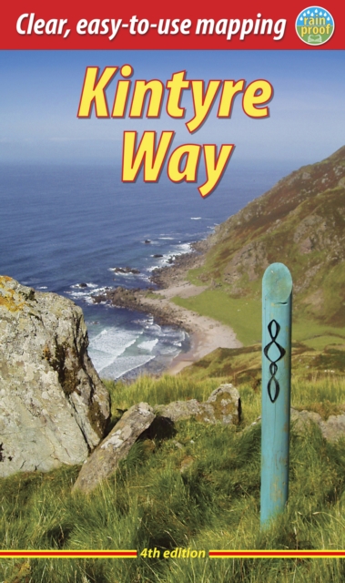
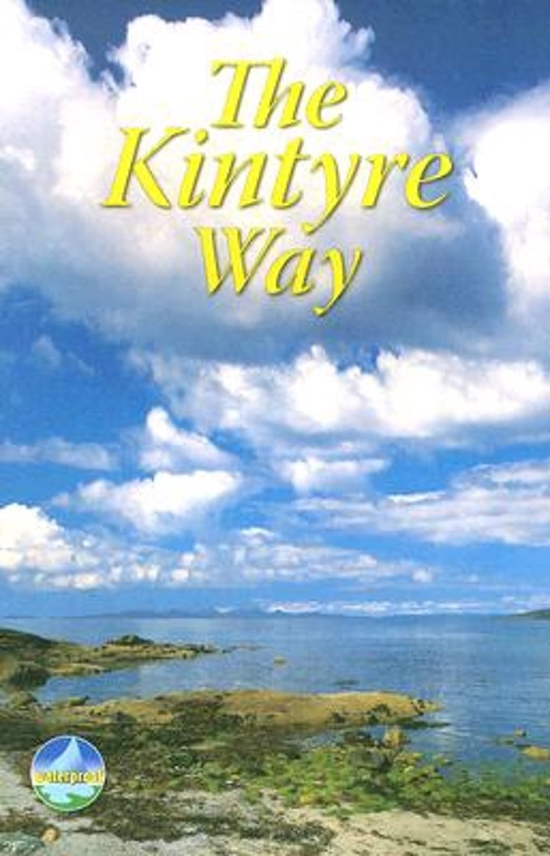
- The Kintyre Way
- The Kintyre Way opened in 2006 and is a fully waymarked trail running for 89 miles (142 km) southward from the beautiful natural harbour of Tarbert to Dunaverty, near the Mull of Kintyre. Criss-crossing the entire peninsula, you pass castles, abbeys and prehistoric remains, sometimes walking along rugged coastline, sometimes high on forestry... Read more
- Also available from:
- Bol.com, Belgium
Bol.com
Belgium
2007
Belgium
2007
- The Kintyre Way
- The Kintyre Way opened in 2006 and is a fully waymarked trail running for 89 miles (142 km) southward from the beautiful natural harbour of Tarbert to Dunaverty, near the Mull of Kintyre. Criss-crossing the entire peninsula, you pass castles, abbeys and prehistoric remains, sometimes walking along rugged coastline, sometimes high on forestry... Read more
Bol.com
Netherlands
Netherlands
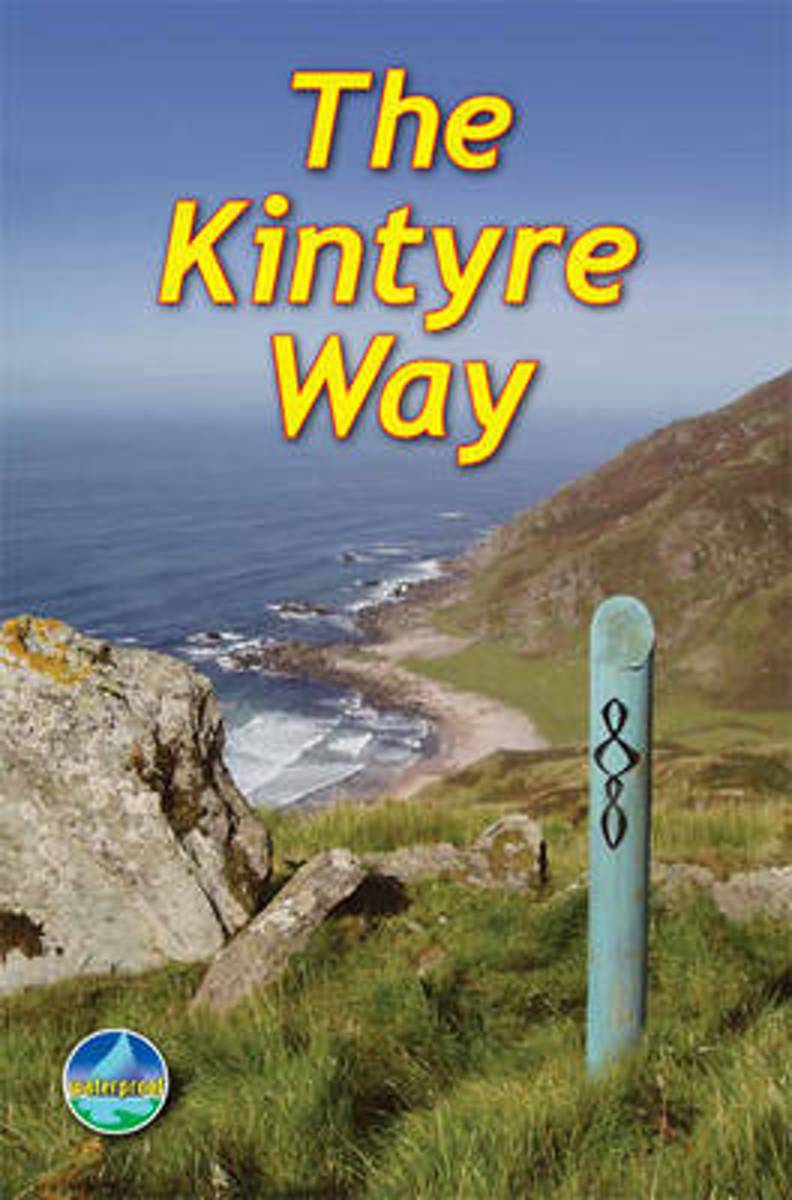
- Kintyre Way
- This fully waymarked trail runs for 89 miles southward from the beautiful natural harbour of Tarbert to Dunaverty, near the Mull of Kintyre. Criss-crossing the entire peninsula, you pass castles, abbeys and prehistoric remains, sometimes walking along rugged coastline, sometimes high on forestry tracks with glorious views over Arran, the Firth... Read more
- Also available from:
- Bol.com, Belgium
Bol.com
Belgium
Belgium
- Kintyre Way
- This fully waymarked trail runs for 89 miles southward from the beautiful natural harbour of Tarbert to Dunaverty, near the Mull of Kintyre. Criss-crossing the entire peninsula, you pass castles, abbeys and prehistoric remains, sometimes walking along rugged coastline, sometimes high on forestry tracks with glorious views over Arran, the Firth... Read more
Bol.com
Netherlands
2016
Netherlands
2016
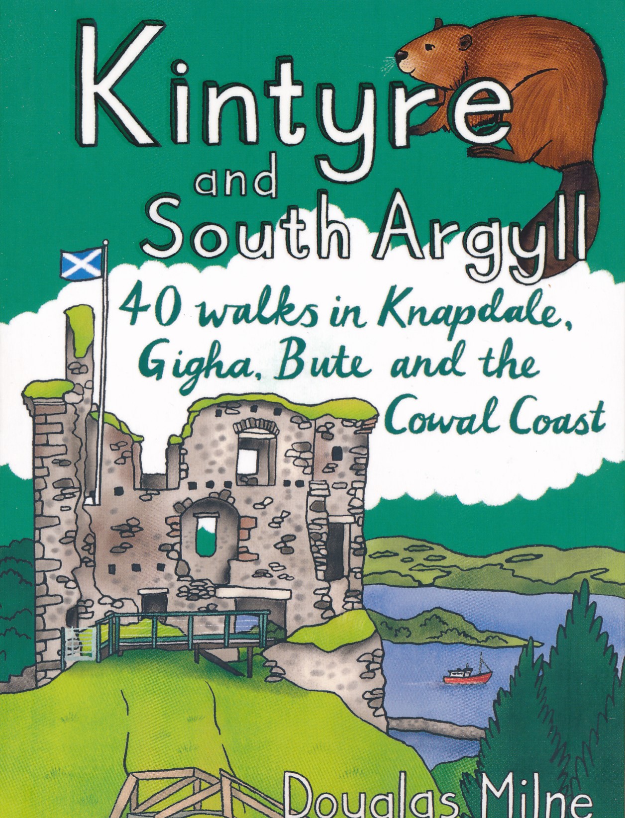
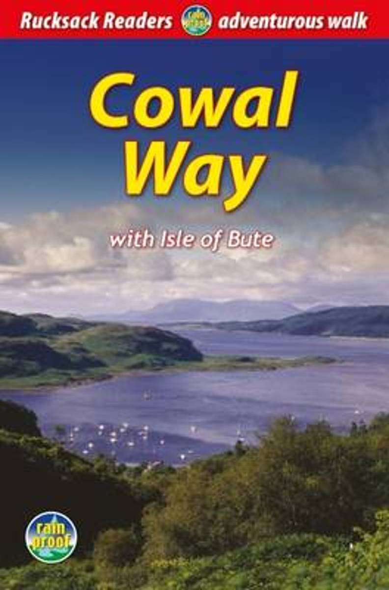
- Cowal Way
- The Cowal Way is a waymarked trail running for 57 miles (92 km) across the rugged Cowal peninsula, an unspoiled area of the Highlands just west of Glasgow. It is best walked from Portavadie on Loch Fyne to finish at Inveruglas on Loch Lomond. The Way has some rugged scenery, the walk is easily broken into manageable sections, and it offers... Read more
- Also available from:
- Bol.com, Belgium
Bol.com
Belgium
2016
Belgium
2016
- Cowal Way
- The Cowal Way is a waymarked trail running for 57 miles (92 km) across the rugged Cowal peninsula, an unspoiled area of the Highlands just west of Glasgow. It is best walked from Portavadie on Loch Fyne to finish at Inveruglas on Loch Lomond. The Way has some rugged scenery, the walk is easily broken into manageable sections, and it offers... Read more
Karten

Stanfords
United Kingdom
United Kingdom
- 2800 Kintyre to Ardnamurchan Chart Pack - 2021 edition
- This edition consists of 11 extra chart sheets, twice the coverage of the previous edition, and incorporates all the latest official bathymetric surveys.Created in association with the Clyde Cruising Club for use alongside their sailing directions, coverage includes detail of this delightful area of Scotland and there is reference to the... Read more