
London
Beschreibung
Capital of the United Kingdom. All sorts of walks. The Thames Path runs right through the city center and you can hop on the London Eye after being fooled at the ticket counter and view forward and backward on your trail.
Wanderwege Region
Links
Fakten
Berichte
Führer und Karten
Übernachtung
Organisationen
Reisebüros
GPS
Sonstiges
Bücher


- Also available from:
- De Zwerver, Netherlands
- Stanfords, United Kingdom

De Zwerver
Netherlands
Netherlands

Stanfords
United Kingdom
United Kingdom
- Colchester, Halstead & Maldon OS Landranger Map 168 (paper)
- Colchester, Halstead and Maldon area, including part of the E2 European Long-distance Path, on a paper version of map No. 168 from the Ordnance Survey’s Landranger series at 1:50,000, with contoured and GPS compatible topographic mapping plus tourist information.MOBILE DOWNLOADS: As well as the physical edition of the map, each Landranger title... Read more

- Also available from:
- De Zwerver, Netherlands
- Stanfords, United Kingdom
De Zwerver
Netherlands
2015
Netherlands
2015

Stanfords
United Kingdom
2015
United Kingdom
2015
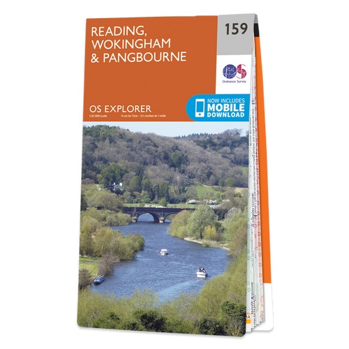
- Reading, Wokingham & Pangbourne OS Explorer Map 159 (paper)
- Reading, Wokingham and Pangbourne area on a detailed topographic and GPS compatible map No. 159, paper version, from the Ordnance Survey’s 1:25,000 Explorer series.MOBILE DOWNLOADS: this title and all the other OS Explorer maps include a code for downloading after purchase the digital version onto your smartphone or tablet for viewing on the OS... Read more

The Book Depository
United Kingdom
United Kingdom
- A -Z Oxford Hidden Walks
- Discover 20 Routes in and Around the City Read more
- Also available from:
- Stanfords, United Kingdom

Stanfords
United Kingdom
United Kingdom
- A-Z Oxford Hidden Walks: Discover 20 routes in and around the city
- Discover hidden gems around Oxford. Featuring 20 walking routes in and around the city, including lesser-known circuits and details on popular walks. Accompanied by guided walking instructions and written by a local expert, A-Z Oxford Hidden Walks is the perfect way to explore the city in a new light. Small enough to fit in a bag or... Read more

- Also available from:
- Stanfords, United Kingdom

Stanfords
United Kingdom
United Kingdom
- The Heath: My Year on Hampstead Heath
- An engaging and supremely well-observed portrait of Hampstead Heath - a place rich not just in natural wonders but in history and monuments, emotions and memories, people and places.The eight hundred acres of Hampstead Heath lie just four miles from central London; and yet unlike the manicured inner-city parks, it feels like the countryside: it... Read more

- Also available from:
- De Zwerver, Netherlands
- Stanfords, United Kingdom

De Zwerver
Netherlands
Netherlands

Stanfords
United Kingdom
United Kingdom
- Bury St Edmunds, Sudbury & Stowmarket OS Landranger Map 155 (paper)
- Suffolk around Bury St Edmunds, Sudbury and Stowmarket, including part of the E2 European Long-distance path, on a paper version of map No. 155 from the Ordnance Survey’s Landranger series at 1:50,000, with contoured and GPS compatible topographic mapping plus tourist information.MOBILE DOWNLOADS: As well as the physical edition of the map,... Read more

The Book Depository
United Kingdom
United Kingdom
- Walking London's Waterways, Updated Edition
- Great Routes for Walking, Running, Cycling Along Docks, Rivers and Canals Read more
- Also available from:
- Stanfords, United Kingdom

Stanfords
United Kingdom
United Kingdom
- Walking London`s Waterways
- London is strewn with waterways, but the River Thames twisting through the capital can be seen from a radically different perspective in the futuristic Docklands area to the more sleepy suburbs of Putney, Chiswick and Barnes.Much of Camden`s quaint charm would be lost without the Regent`s Canal, and further out in the suburbs the Wandle, Lea... Read more

The Book Depository
United Kingdom
United Kingdom
- London's Secret Walks
- 25 Walks Around London's Most Historic Districts Read more
- Also available from:
- Stanfords, United Kingdom

Stanfords
United Kingdom
United Kingdom
- London`s Secret Walks: 25 Walks Around London`s Most Historic Districts
- London is a great city for walking - whether for pleasure, exercise or simply to get from A to B. Despite the city`s extensive public transport system, walking is also often the quickest and most enjoyable way to get around - at least in the centre - and it`s also free and healthy!London has a somewhat haphazard street pattern (to put it... Read more


The Book Depository
United Kingdom
United Kingdom
- Out of London Walks
- Great escapes by Britain's best walking tour company Read more
- Also available from:
- Stanfords, United Kingdom

Stanfords
United Kingdom
United Kingdom
- Out of London Walks
- Enjoy all that out of London has to offer, and discover the heritage and history behind the scenes in some of England`s most picturesque places, such as Bath, Canterbury, Royal Winchester and Stratford. With stories and advice drawn from the expertise and knowledge of the famous London Walks Company and its small army of guides, this book is... Read more

The Book Depository
United Kingdom
United Kingdom
- London London's Village Walks
- 20 Walks Around the City's Most Beautiful Historic Villages Read more
- Also available from:
- Stanfords, United Kingdom

Stanfords
United Kingdom
United Kingdom
- London London`s Village Walks: 20 Walks Around the City`s Most Beautiful Historic Villages
- London is a vast metropolis with a population of over 8.5 million people and a history stretching back two millennia. However, unlike more modern cities, London was never planned as a major city but has grown over the centuries to absorb numerous historic towns and villages. Many of these are now bustling cosmopolitan areas such as Bloomsbury... Read more

- Also available from:
- De Zwerver, Netherlands
- Stanfords, United Kingdom

De Zwerver
Netherlands
Netherlands

Stanfords
United Kingdom
United Kingdom
- Thames Estuary, Rochester & Southend-on-Sea OS Landranger Map 178 (paper)
- Thames Estuary with Rochester and Southend-on-Sea, including a section of the North Downs Way / E2 European Long-Distance Path, on a paper version of map No. 178 from the Ordnance Survey’s Landranger series at 1:50,000, with contoured and GPS compatible topographic mapping plus tourist information.MOBILE DOWNLOADS: As well as the physical... Read more

- Also available from:
- Stanfords, United Kingdom

Stanfords
United Kingdom
United Kingdom
- Colchester, Halstead & Maldon OS Landranger Active Map 168 (waterproof)
- Colchester, Halstead and Maldon area, including part of the E2 European Long-distance Path, on a waterproof and tear-resistant OS Active version of map No. 168 from the Ordnance Survey’s Landranger series at 1:50,000, with contoured and GPS compatible topographic mapping plus tourist information.MOBILE DOWNLOADS: As well as the physical edition... Read more

The Book Depository
United Kingdom
United Kingdom
- A -Z York Hidden Walks
- Discover 20 Routes in and Around the City Read more
- Also available from:
- Stanfords, United Kingdom

Stanfords
United Kingdom
United Kingdom
- A-Z York Hidden Walks: Discover 20 routes in and around the city
- Discover hidden gems around York. Featuring 20 walking routes in and around the city, including lesser-known circuits and details on popular walks. Accompanied by guided walking instructions and written by a local expert, A-Z York Hidden Walks is the perfect way to explore the city in a new light. Small enough to fit in a bag or... Read more

The Book Depository
United Kingdom
2016
United Kingdom
2016
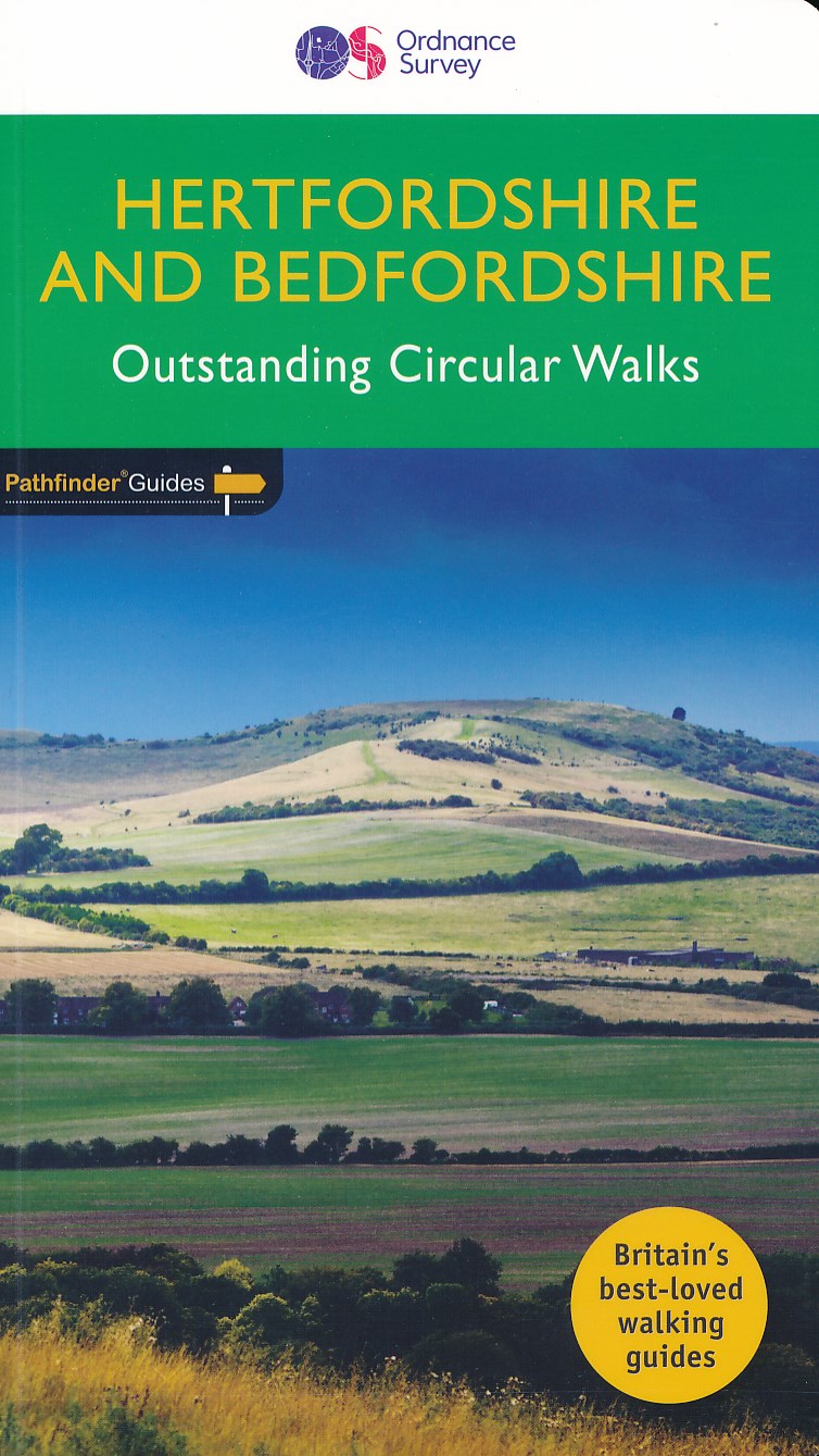
- Hertfordshire & Bedfordshire
- Both counties tend to be underrated by walkers, often overlooked in favour of the delights of the Thames Valley or the hillier Chiltern country of Buckinghamshire. But they do possess much fine walking country, with a diversity of terrain, gentle hilly regions, lots of pleasant woodland, attractive riverside landscapes and an impressive... Read more
- Also available from:
- De Zwerver, Netherlands
- Stanfords, United Kingdom
De Zwerver
Netherlands
2016
Netherlands
2016
- Wandelgids 54 Pathfinder Guides Hertfordshire and Bedfordshire | Ordnance Survey
- Both counties tend to be underrated by walkers, often overlooked in favour of the delights of the Thames Valley or the hillier Chiltern country of Buckinghamshire. But they do possess much fine walking country, with a diversity of terrain, gentle hilly regions, lots of pleasant woodland, attractive riverside landscapes and an impressive... Read more

Stanfords
United Kingdom
2016
United Kingdom
2016
- Hertfordshire & Bedfordshire
- Both counties tend to be underrated by walkers, often overlooked in favour of the delights of the Thames Valley or the hillier Chiltern country of Buckinghamshire. But they do possess much fine walking country, with a diversity of terrain, gentle hilly regions, lots of pleasant woodland, attractive riverside landscapes and an impressive... Read more
Karten
De Zwerver
Netherlands
2017
Netherlands
2017
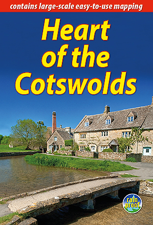
- Wandelgids Heart of the Cotswolds | Rucksack Readers
- The Cotswolds is quintessentially English, with its rich cultural history, medieval `wool` churches and charming domestic architecture of stone, slate and thatch. The book offers three options for walking in the heart of this wonderful area: a 94-mile (151-km) grand tour starting from Cheltenham, and two shorter circuits. These options cater... Read more
- Also available from:
- Stanfords, United Kingdom

Stanfords
United Kingdom
2017
United Kingdom
2017
- Heart of the Cotswolds
- The Cotswolds is quintessentially English, with its rich cultural history, medieval `wool` churches and charming domestic architecture of stone, slate and thatch. The book offers three options for walking in the heart of this wonderful area: a 94-mile (151-km) grand tour starting from Cheltenham, and two shorter circuits. These options cater... Read more
De Zwerver
Netherlands
Netherlands


De Zwerver
Netherlands
Netherlands
- Wegenkaart - landkaart Europa - Europe | Borch
- Europa / Europe 1 : 4 000 000 ab 9.9 EURO Europe 1 : 4 000 000, Europe North, London, Paris, Rome/Roma / updated / durable / water-repellent / write-on/wipe-off surface Borch Maps. 15. Auflage Read more

Stanfords
United Kingdom
United Kingdom
- East London and Gonubie
- Street plan of East London at 1:20,000 from the South African travel publishers Map Studio, with an inset providing coverage of the nearby Gonubie. Coverage extends inland to include the city’s airport. The plan shows names of districts, indicates main traffic arteries, and highlights various facilities and important buildings. No street index... Read more
Stanfords
United Kingdom
United Kingdom
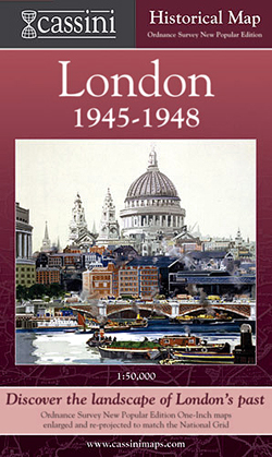
- London 1945-1948
- London in 1945-1948 in the Cassini Historical Series reproducing old Ordnance Survey mapping of England and Wales at 1:50,000. The four London maps cover roughly the area of the present day Greater London rather than following the format of rest of the series which is designed to correspond to the current Landranger maps. Mapping is identical... Read more

Stanfords
United Kingdom
United Kingdom
- Cycle Tours Chilterns, Hertfordshire & Essex
- This spiral-bound guide describes 20 wonderful bike rides in the countryside to the north and west of London. The area offers some excellent and varied cycling: from the challenges of the steep wooded escarpment of the Chilterns in the west to the gentle gradients on networks of quiet lanes in Hertfordshire and north Essex. The book contains 15... Read more

Stanfords
United Kingdom
United Kingdom
- London West 1805-1822
- Map No. 176, London West 1805-1822, in the Cassini Historical Series of old Ordnance Survey mapping of England and Wales at 1:50,000 in a format designed to offer a convenient comparison with the present day coverage from the OS, and most locations in three different editions. Old historical maps have been combined so that the sheet lines... Read more
Stanfords
United Kingdom
United Kingdom
- London West 1897-1909
- Map No. 176, London West 1897-1909, in the Cassini Historical Series of old Ordnance Survey mapping of England and Wales at 1:50,000 in a format designed to offer a convenient comparison with the present day coverage from the OS, and most locations in three different editions. Old historical maps have been combined so that the sheet lines... Read more

Stanfords
United Kingdom
United Kingdom
- London East 1805-1822
- Map No. 177, London East 1805-1822, in the Cassini Historical Series of old Ordnance Survey mapping of England and Wales at 1:50,000 in a format designed to offer a convenient comparison with the present day coverage from the OS, and most locations in three different editions. Old historical maps have been combined so that the sheet lines... Read more
Stanfords
United Kingdom
United Kingdom
- London East 1897-1902
- Map No. 177, London East 1897-1902, in the Cassini Historical Series of old Ordnance Survey mapping of England and Wales at 1:50,000 in a format designed to offer a convenient comparison with the present day coverage from the OS, and most locations in three different editions. Old historical maps have been combined so that the sheet lines... Read more