
Ridgeway
Beschreibung
- Name Ridgeway
- Länge von Wanderweg 137 km, 85 Meilen
- Länge in Tagen 7 Tage
- Traildino Schwierigkeit EW, Leichte Wanderung, Naturwanderweg
 85 miles. 137 km.
National Trail
The Ridgeway is a trail on a high stretch of chalk hills East of London. From early times onwards men has used this route for travel. It was a reliable trading route, avoiding wet marshes in the lower areas. Traces of human presence have been found as far as 5.000 years back. Therefore, also this road has been called "Britains oldest road", just as many others claim this title (ref. Icknield Way Path).
For the modern traveller, you and me, taking the trouble to leave our safe hamlet is justified for two reasons. First, it is a beautiful walk among friendly and soft sloping fields and forest. Like all chalk downs in Britain, the grasslands are particularly rich in flowers, animal and insect life. Second, along the trail we will encounter many reminders of the past, those travellers from thousand years ago that took the same way, but for different reasons. Ours is a stroll out of the city, and great it is we stay in touch with our ancestors.
Karte

Links
Fakten
Berichte
Führer und Karten
Übernachtung
Organisationen
Reisebüros
GPS
Sonstiges
Bücher

- Also available from:
- De Zwerver, Netherlands
- Stanfords, United Kingdom
Netherlands

United Kingdom
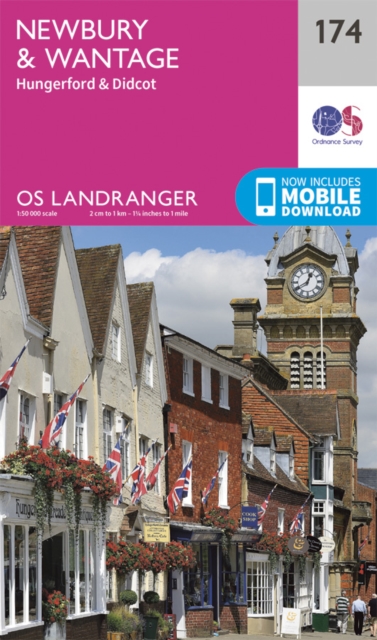
- Newbury, Wantage, Hungerford & Didcot OS Landranger Map 174 (paper)
- Newbury - Wantage area, including a section of the Ridgeway along the Lambourn Downs, on a paper version of map No. 174 from the Ordnance Survey’s Landranger series at 1:50,000, with contoured and GPS compatible topographic mapping plus tourist information.MOBILE DOWNLOADS: As well as the physical edition of the map, each Landranger title now... Read more

- Also available from:
- Stanfords, United Kingdom

United Kingdom
- Buckinghamshire: A Dog Walker`s Guide
- This book contains 20 walks, varying in length from 11/2 to 5 miles, covering the best places to walk your dog in Buckinghamshire. The routes here have been selected not only because they take in the area`s finest countryside, but also because they allow for maximum off-lead time and dog safety. There are walks along parts of the Ridgeway at... Read more

- Also available from:
- De Zwerver, Netherlands
- Stanfords, United Kingdom
Netherlands

United Kingdom
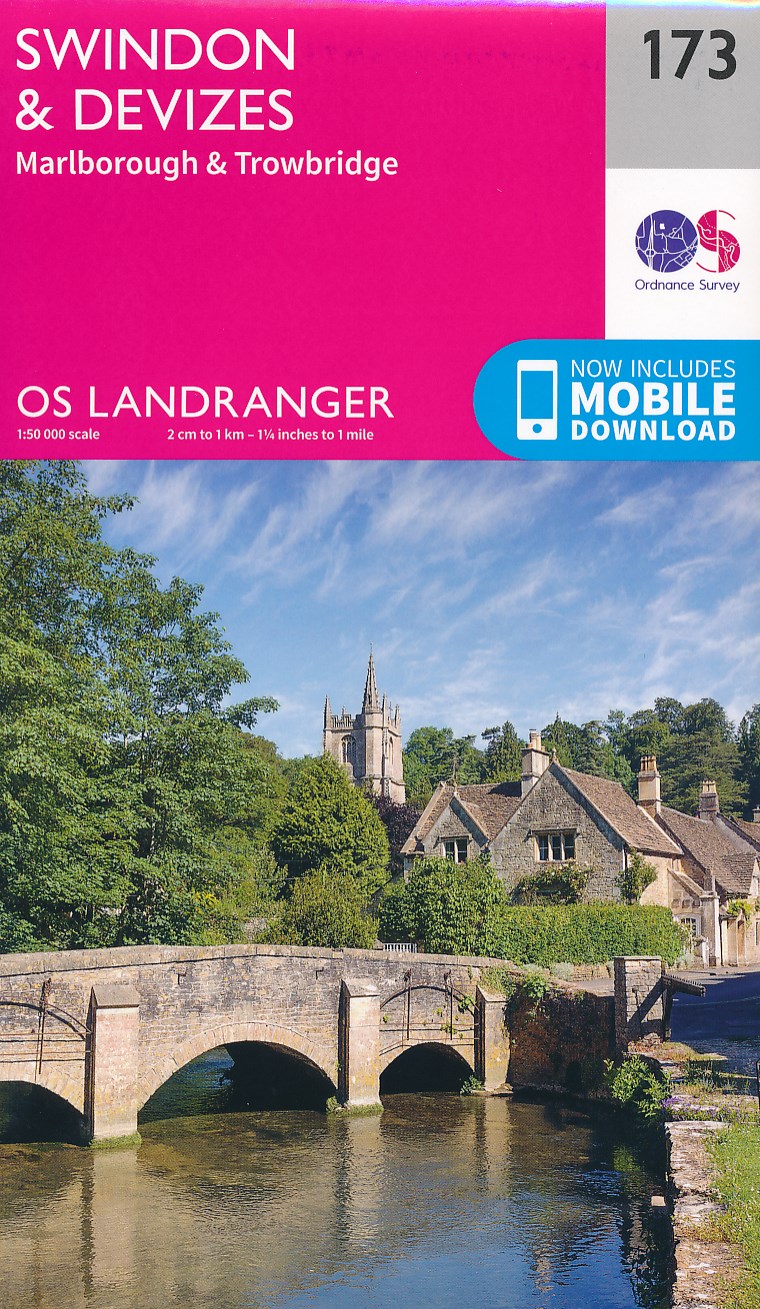
- Swindon, Devizes, Marlborough & Trowbridge OS Landranger Map 173 (paper)
- Swindon - Devizes area, including the westernmost section of the Ridgeway and part of the Thames Path, on a paper version of map No. 173 from the Ordnance Survey’s Landranger series at 1:50,000, with contoured and GPS compatible topographic mapping plus tourist information.MOBILE DOWNLOADS: As well as the physical edition of the map, each... Read more

United Kingdom
2021
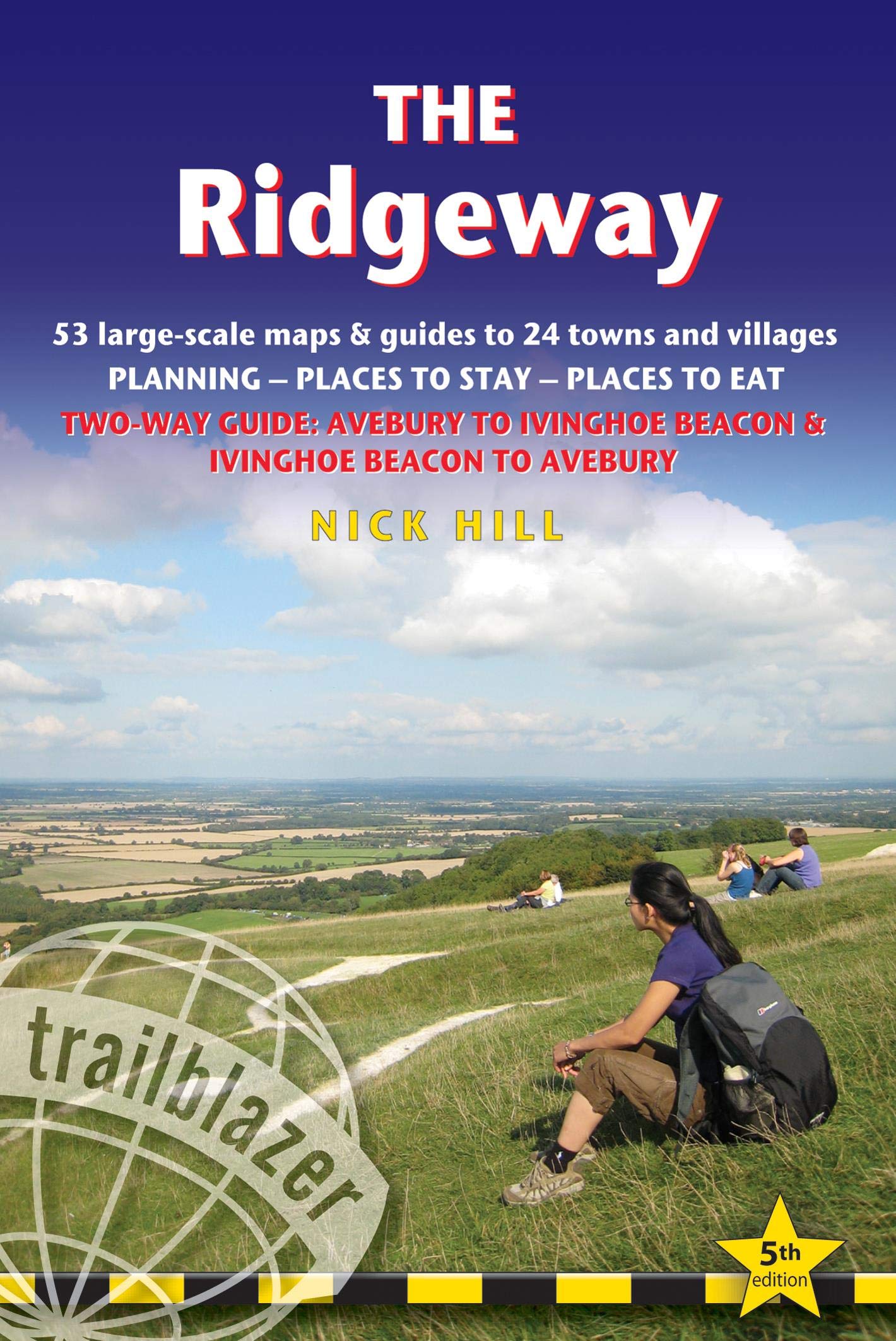
- The Ridgeway (Trailblazer British Walking Guides)
- 53 large-scale maps & guides to 24 towns and villages, Avebury to Ivinghoe Beacon and Ivinghoe Beacon to Avebury Read more
- Also available from:
- De Zwerver, Netherlands
Netherlands
2021
- Wandelgids The Ridgeway | Trailblazer Guides
- 53 large-scale maps & guides to 24 towns and villages, Avebury to Ivinghoe Beacon and Ivinghoe Beacon to Avebury Read more

United Kingdom
- Alone on the Ridgeway
- A Tale of Two Journeys Between Avebury and Ivinghoe Beacon Read more

- Also available from:
- Stanfords, United Kingdom

United Kingdom
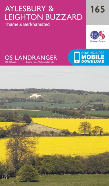
- Aylesbury, Leighton Buzzard, Thame & Berkhamsted OS Landranger Active Map 165 (waterproof)
- Aylesbury, Leighton Buzzard and Thame area, including Chiltern Hills with part of the Ridgeway, on a waterproof and tear-resistant OS Active version of map No. 165 from the Ordnance Survey’s Landranger series at 1:50,000, with contoured and GPS compatible topographic mapping plus tourist information.MOBILE DOWNLOADS: As well as the physical... Read more

- Also available from:
- Stanfords, United Kingdom

United Kingdom
- The Ridgeway a Dog Walker`s Guide
- Here is a collection of 20 tried and tested circular walks ranging in length between 2.5 and 8.5 miles. They include crucial dog-walking factors such as livestock, stiles and roads, with warnings in advance when a lead is necessary and when it`s safe for your dog to run free. The routes pass by a number of quintessential English villages, many... Read more

- Also available from:
- Stanfords, United Kingdom

United Kingdom
- Swindon, Devizes, Marlborough & Trowbridge OS Landranger Active Map 173 (waterproof)
- Swindon - Devizes area, including the westernmost section of the Ridgeway and part of the Thames Path, on a waterproof and tear-resistant OS Active version of map No. 173 from the Ordnance Survey’s Landranger series at 1:50,000, with contoured and GPS compatible topographic mapping plus tourist information.MOBILE DOWNLOADS: As well as the... Read more

- Also available from:
- De Zwerver, Netherlands
- Stanfords, United Kingdom

United Kingdom
2021
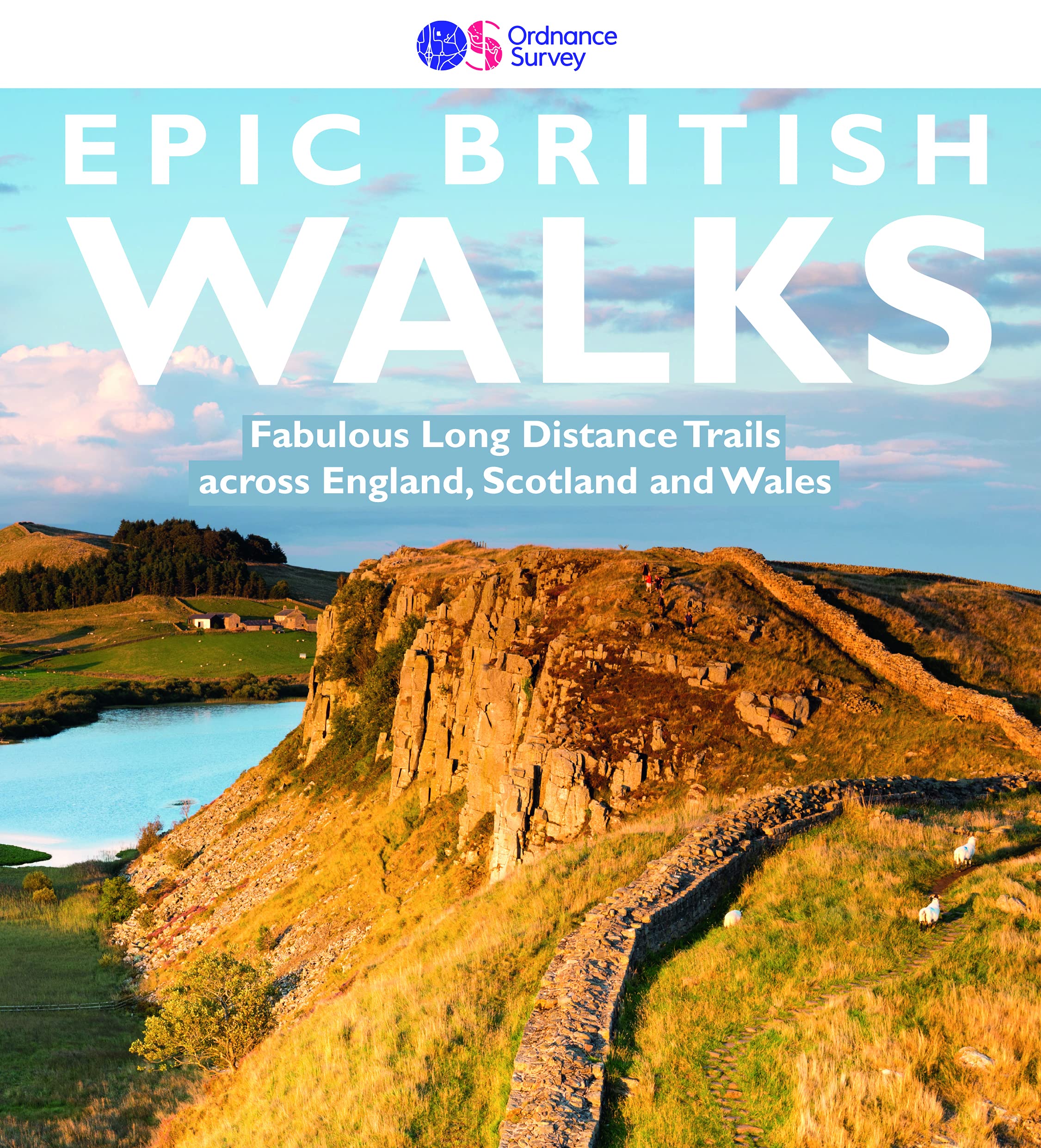
- Epic British Walks
- OS Epic British Walks allows the reader to take their walking dreams one step further with this inspiring introduction to distance walking and with thirty-eight amazing trails of immense diversity, each graded by difficulty, there are routes for first-time hikers as well as for the super-fit, seasoned multi-day rambler.This is the perfect book... Read more
Netherlands
2008
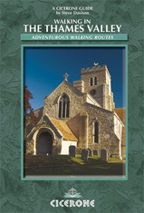
- Wandelgids Walking in the Thames Valley | Cicerone
- Walking in the Thames Valley describes 25 adventurous day walks in the area covering the North Hampshire Downs, Berkshire and the Southern Chilterns with easy access to London and Reading. The circular walks vary from 10 to 18 miles, including one two-day walk, as well as shorter route options for those who want a less strenuous day out. Read more
Netherlands
2021
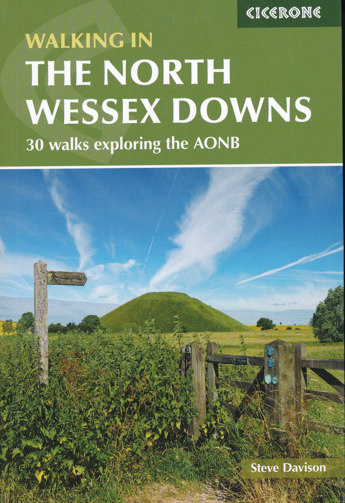
- Wandelgids Walking on the North Wessex Downs | Cicerone
- Guidebook to 30 circular walks in the North Wessex Downs Area of Outstanding Natural Beauty (AONB). The routes, which range from 7 to 21km (4 to 13 miles), take in parts of four counties - Berkshire, Hampshire, Wiltshire and Oxfordshire.The North Wessex Downs are accessible hills rising above the towns and rural plains of southern England and... Read more
- Also available from:
- Stanfords, United Kingdom

United Kingdom
2021
- Walking in the North Wessex Downs: 30 walks exploring the AONB
- Guidebook to 30 circular walks in the North Wessex Downs Area of Outstanding Natural Beauty (AONB). The routes, which range from 7 to 21km (4 to 13 miles), take in parts of four counties - Berkshire, Hampshire, Wiltshire and Oxfordshire.The North Wessex Downs are accessible hills rising above the towns and rural plains of southern England and... Read more
Netherlands
- Also available from:
- Stanfords, United Kingdom

United Kingdom
- Aylesbury, Leighton Buzzard, Thame & Berkhamsted OS Landranger Map 165 (paper)
- Aylesbury, Leighton Buzzard and Thame area, including Chiltern Hills with part of the Ridgeway, on a paper version of map No. 165 from the Ordnance Survey’s Landranger series at 1:50,000, with contoured and GPS compatible topographic mapping plus tourist information.MOBILE DOWNLOADS: As well as the physical edition of the map, each Landranger... Read more

United Kingdom
- Newbury, Wantage, Hungerford & Didcot OS Landranger Active Map 174 (waterproof)
- Newbury - Wantage area, including a section of the Ridgeway along the Lambourn Downs, on a waterproof and tear-resistant OS Active version of map No. 174 from the Ordnance Survey’s Landranger series at 1:50,000, with contoured and GPS compatible topographic mapping plus tourist information.MOBILE DOWNLOADS: As well as the physical edition of... Read more

United Kingdom
- The Icknield Way Path: A Walkers` Guide
- The Icknield Way Path – 110 miles along the ‘oldest road in Britain’ linking the Ridgeway Path to the Peddars Way, following footpaths close to the ancient route and including a link into Thetford. Written walk directions are accompanied by sketch map extracts from Landranger OS maps customised with additional information, useful for walkers.... Read more

United Kingdom
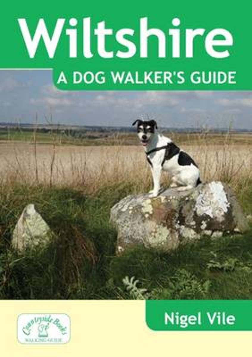
- Wiltshire a Dog Walker's Guide
- The 20 circular routes have been carefully designed with maximum off-lead time and minimum exposure to roads. Each walk has information on the distance and terrain, livestock likely to be encountered, number and type of stiles en route and in an emergency, the nearest veterinary surgery. The walks include Barbury Castle, Ogbourne St George,... Read more
- Also available from:
- Stanfords, United Kingdom
- Bol.com, Netherlands
- Bol.com, Belgium

United Kingdom
- Wiltshire a Dog Walker`s Guide
- The 20 circular routes have been carefully designed with maximum off-lead time and minimum exposure to roads. Each walk has information on the distance and terrain, livestock likely to be encountered, number and type of stiles en route and in an emergency, the nearest veterinary surgery. The walks include Barbury Castle, Ogbourne St George,... Read more
Netherlands
- Wiltshire a Dog Walker's Guide
- The 20 circular routes have been carefully designed with maximum off-lead time and minimum exposure to roads. Each walk has information on the distance and terrain, livestock likely to be encountered, number and type of stiles en route and in an emergency, the nearest veterinary surgery. The walks include Barbury Castle, Ogbourne St George,... Read more
Belgium
- Wiltshire a Dog Walker's Guide
- The 20 circular routes have been carefully designed with maximum off-lead time and minimum exposure to roads. Each walk has information on the distance and terrain, livestock likely to be encountered, number and type of stiles en route and in an emergency, the nearest veterinary surgery. The walks include Barbury Castle, Ogbourne St George,... Read more
Karten

United Kingdom
- Also available from:
- De Zwerver, Netherlands
- Stanfords, United Kingdom

Netherlands
- Wandelkaart - Fietskaart Ridgeway | Harvey Maps
- The Ridgway, a 139km / 87 mile national trail from Overton Hill in Wiltshire to Ivinghoe Beacon in Buckinghamshire, presented at 1:40,000 on a light, waterproof and tear-resistant map from Harvey Map Services. The route is shown on six overlapping panels.Maps in the Harvey Read more
United Kingdom
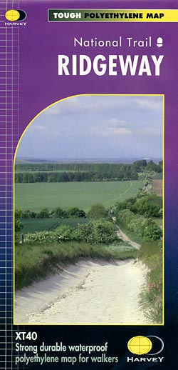
- Ridgeway Harvey National Trail XT40
- The Ridgway, a 139km / 87 mile national trail from Overton Hill in Wiltshire to Ivinghoe Beacon in Buckinghamshire, presented at 1:40,000 on a light, waterproof and tear-resistant map from Harvey Map Services. The route is shown on six overlapping panels.Maps in the Harvey’s series covering Great Britain’s national trails and other... Read more

United Kingdom
- Cycle Tours Around Oxford
- Oxford has long enjoyed a reputation as one of the most cycle-friendly cities in the country. This spiral-bound guide describes 20 wonderful bike rides in the countryside in a 30-mile radius around the city, exploring the delights of the Cotswolds, the Lambourn Downs and the Chilterns. The book contains 15 rides on networks of quiet lanes... Read more

United Kingdom
- Niagara Falls - Fort Erie - Niagara-on-the-Lake - Grand Island
- Double-sided, indexed street plan at 1:28,000 of Niagara Falls area on both sides of the Niagara River, in Canada and USA. Coverage extends north from Niagara Falls to Lake Ontario to include Niagara-on-the-Lake on the Canadian side plus Youngstown, Porter and Lewiston in USA. On the reverse coverage continues southwards to Lake Eire to cover... Read more
United Kingdom
2017
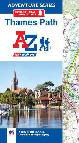
- Thames Path A-Z Adventure Atlas
- The A-Z Adventure series features the accuracy and quality of Ordnance Survey`s Explorer mapping in a convenient book, therefore eliminating the need to fold and re-fold a large sheet map to the desired area. OS Explorer is Ordnance Survey`s most detailed mapping at a scale of 1:25 000 showing public rights of way, open access land, national... Read more
- Also available from:
- Bol.com, Netherlands
- Bol.com, Belgium
Netherlands
2017
- Thames Path Adventure Atlas
- The A-Z Adventure series features the accuracy and quality of Ordnance Survey`s Explorer mapping in a convenient book, therefore eliminating the need to fold and re-fold a large sheet map to the desired area. OS Explorer is Ordnance Survey`s most detailed mapping at a scale of 1:25 000 showing public rights of way, open access land, national... Read more
Belgium
2017
- Thames Path Adventure Atlas
- The A-Z Adventure series features the accuracy and quality of Ordnance Survey`s Explorer mapping in a convenient book, therefore eliminating the need to fold and re-fold a large sheet map to the desired area. OS Explorer is Ordnance Survey`s most detailed mapping at a scale of 1:25 000 showing public rights of way, open access land, national... Read more