
Mexico
Beschreibung
Links
Fakten
Berichte
Führer und Karten
Übernachtung
Organisationen
Reisebüros
GPS
Sonstiges
Bücher

The Book Depository
United Kingdom
United Kingdom
- Pacific Crest Trail Data Book
- Mileages, Landmarks, Facilities, Resupply Data, and Essential Trail Information for the Entire Pacific Crest Trail, from Mexico to Canada Read more

The Book Depository
United Kingdom
United Kingdom
- Zeke's Guide to Travel and Life
- Mexico Stories From the Road and All You Need to Know to Embark on Your Own Adventure Travels Read more


- Also available from:
- Stanfords, United Kingdom

Stanfords
United Kingdom
United Kingdom
- Windswept: why women walk
- The story of extraordinary women who lost their way - their sense of self, their identity, their freedom - and found it again through walking in the wild. `Moving and memorable` Virginia Nicholson, author of How Was It for You?`A triumph ... I felt as though I were being lifted, carried up to peaks` Charlotte Peacock, author of Into the... Read more

- Also available from:
- De Zwerver, Netherlands
- Stanfords, United Kingdom
De Zwerver
Netherlands
Netherlands
- Wandelkaart 731 Santa Fe, Truchas Peak | National Geographic
- Trails Illustrated Read more

Stanfords
United Kingdom
United Kingdom
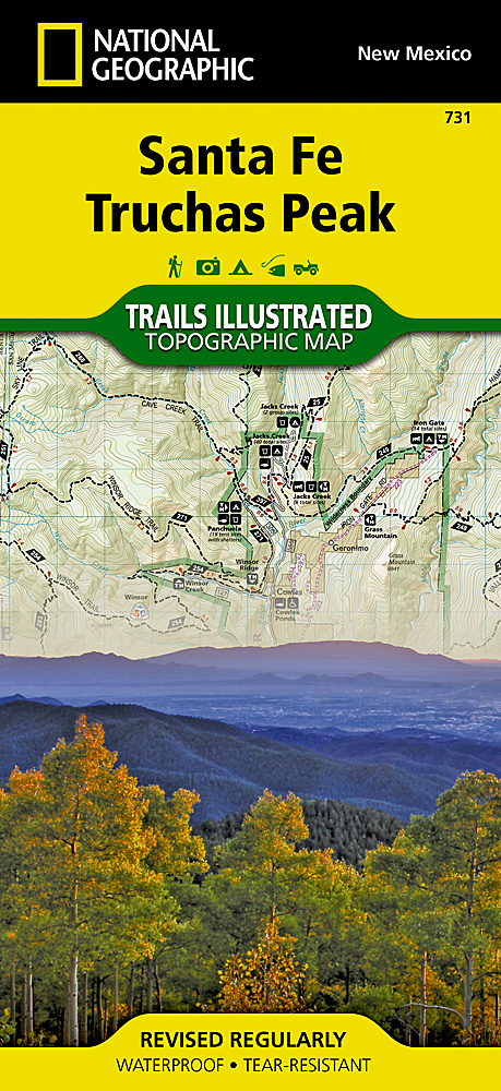
- Santa Fe - Truchas Peak NM
- Map No. 731, Santa Fe - Truchas Peak in New Mexico at 1:63,360, part of an extensive series of GPS compatible, contoured hiking maps of USA’s national and state parks or forests and other popular recreational areas. Cartography, based on the national topographic survey, has extensive additional tourist information.The maps, printed on light,... Read more

The Book Depository
United Kingdom
United Kingdom
- Best Wildflower Hikes New Mexico
- A Guide to the Area's Greatest Wildflower Hiking Adventures Read more

De Zwerver
Netherlands
2023
Netherlands
2023
De Zwerver
Netherlands
2018
Netherlands
2018
- Reisgids Explore Cancun & the Yucatan | Insight Guides
- Een pocketversie van de alom gewaardeerde Insight Guides. Boordevol informatie over Cancun en Yucatan. Experience the best of Cancún and the Yucatán with this indispensably practical Insight Explore Guide. From making sure you don't miss out on must-see attractions like Chichén Itzá; to discovering hidden gems, including the region's cenotes... Read more
Weitere Bücher…
Karten

- Also available from:
- De Zwerver, Netherlands
- Stanfords, United Kingdom
De Zwerver
Netherlands
Netherlands
- Wandelkaart - Topografische kaart 730 Taos Carson National Forest | National Geographic
- Map No. 730, Taos Area of New Mexico, at 1:40,680 in an extensive series of GPS compatible, contoured hiking maps of USA Read more
Stanfords
United Kingdom
United Kingdom
- Taos Area NM
- Map No. 730, Taos Area of New Mexico, at 1:40,680 in an extensive series of GPS compatible, contoured hiking maps of USA’s national and state parks or forests and other popular recreational areas. Cartography based on the national topographic survey, with additional tourist information.The maps, with most titles now printed on light, waterproof... Read more
De Zwerver
Netherlands
Netherlands
- Wegenkaart - landkaart Mexico Pacific Coast en Guadalajara | ITMB
- Touristik Karte Mexico´s Pacific Coast 1 : 1 500 000 & Guadalajara 1 : 10 000 ab 10.49 EURO mit Mexico City 1 : 12 500 und Oaxaca 1 : 16 000 ITM Karte. new edition Read more
De Zwerver
Netherlands
Netherlands
- Wegenkaart - landkaart Mexico South | ITMB
- Mexico South 1:1 200 000 ab 10.49 EURO International Travel Map ITM. 6. Auflage Read more
De Zwerver
Netherlands
2016
Netherlands
2016
- Wegenkaart - landkaart Yucatan | Borch
- Yucatan at 1:1,000,00 from Borch on an indexed, laminated and waterproof map of the peninsula with street plans of its main towns, enlargements for the Maya Riviera and Cozumel, plus plans of major Maya sites. The main map covers the peninsula, extending westwards to Villahermosa and south to Belize City, with an inset at the same scale... Read more
- Also available from:
- Stanfords, United Kingdom

Stanfords
United Kingdom
2016
United Kingdom
2016
- Yucatan Borch
- Yucatan at 1:1,000,00 from Borch on an indexed, laminated and waterproof map of the peninsula with street plans of its main towns, enlargements for the Maya Riviera and Cozumel, plus plans of major Maya sites. The main map covers the peninsula, extending westwards to Villahermosa and south to Belize City, with an inset at the same scale... Read more
De Zwerver
Netherlands
Netherlands
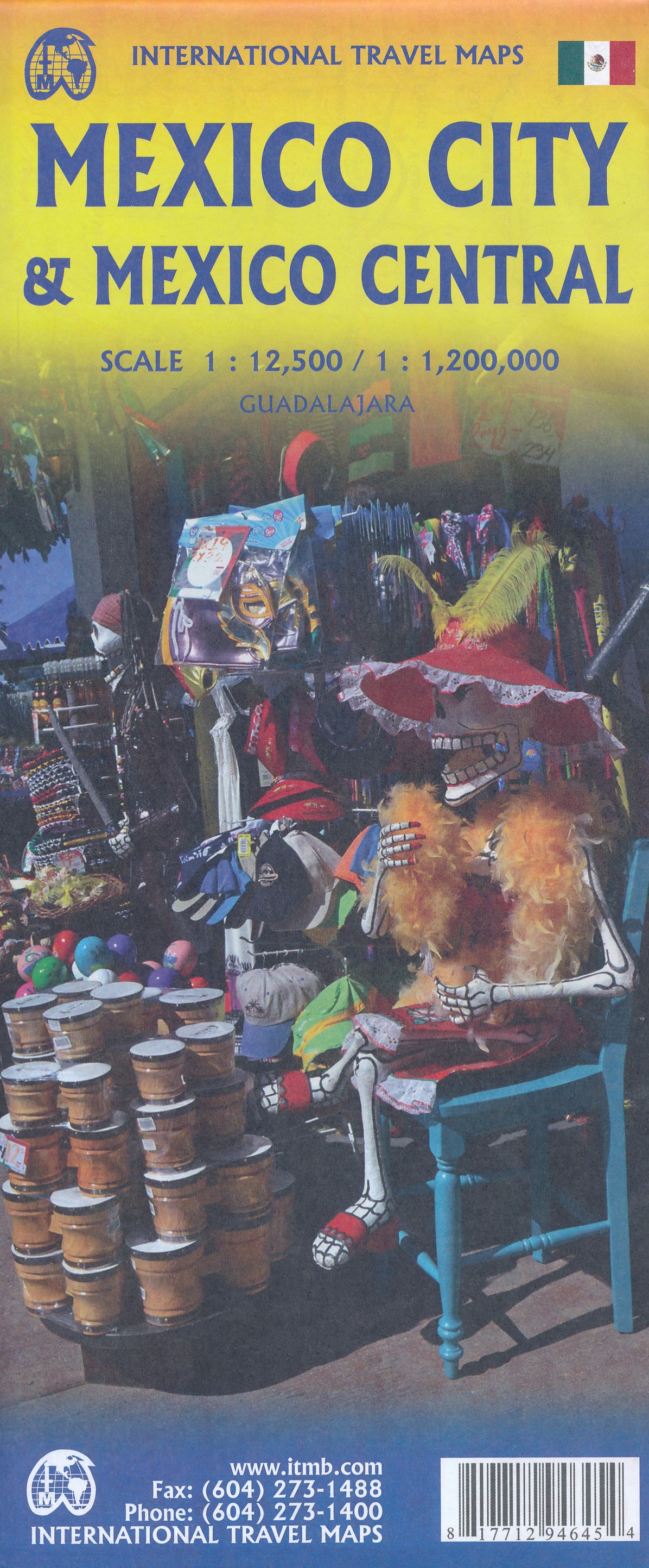
- Wegenkaart - landkaart Mexico Central & Mexico City | ITMB
- Indexed road map covering central Mexico, with a large plan of central Mexico City on the reverse. The main map extends from Veracruz in the east to Leon in the west, and from Acapulco in the south to Ciudad Victoria in the north. Altitude tinting represents the general relief with spot heights for major peaks. Swamp areas, reefs and national... Read more
- Also available from:
- Stanfords, United Kingdom

Stanfords
United Kingdom
United Kingdom
- Mexico Central & Mexico City ITMB
- Indexed road map covering central Mexico, with a large plan of central Mexico City on the reverse. The main map extends from Veracruz in the east to Leon in the west, and from Acapulco in the south to Ciudad Victoria in the north. Altitude tinting represents the general relief with spot heights for major peaks. Swamp areas, reefs and national... Read more
De Zwerver
Netherlands
Netherlands
- Wegenkaart - landkaart Guadeloupe & Dominica | ITMB
- The country of Guadeloupe (1:110,000) actually consists of six islands, with the main island being divided by a narrow peninsula into Basse-Terre and Grand-Terre. It is a French possession, so uses the Euro as its currency. The other touristic island is Marie-Galante, which one reaches by ferry from the capital city of Pointe-a-Pitre. There is... Read more
- Also available from:
- Stanfords, United Kingdom
Stanfords
United Kingdom
United Kingdom
- Guadeloupe & Dominica ITMB
- The country of Guadeloupe (1:110,000) actually consists of six islands, with the main island being divided by a narrow peninsula into Basse-Terre and Grand-Terre. It is a French possession, so uses the Euro as its currency. The other touristic island is Marie-Galante, which one reaches by ferry from the capital city of Pointe-a-Pitre. There is... Read more
De Zwerver
Netherlands
2020
Netherlands
2020
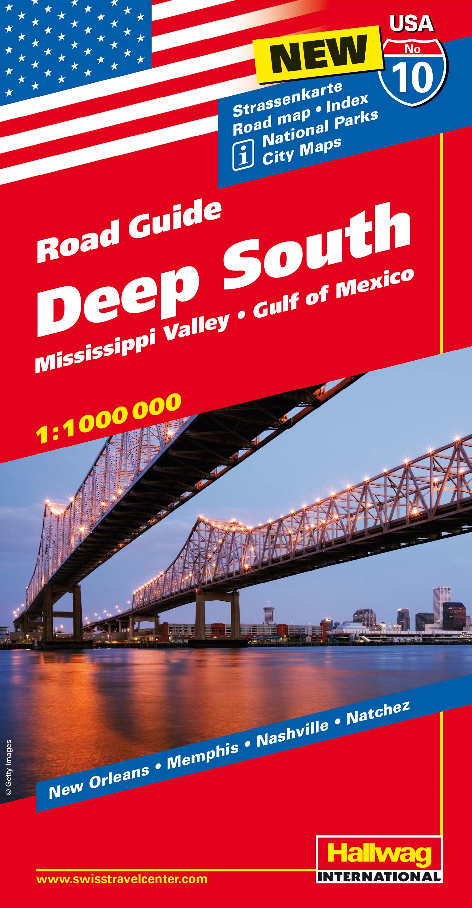
- Wegenkaart - landkaart 10 Deep South USA, Mississippi Valley & Gulf of Mexico | Hallwag
- Hallwag USA Road Guide 10 Deep South 1:1.000.000 ab 11.95 EURO Mississippi Valley, Gulf of Mexico Hallwag USA Road Guide. Neuauflage, Laufzeit bis 2016 Read more
De Zwerver
Netherlands
Netherlands
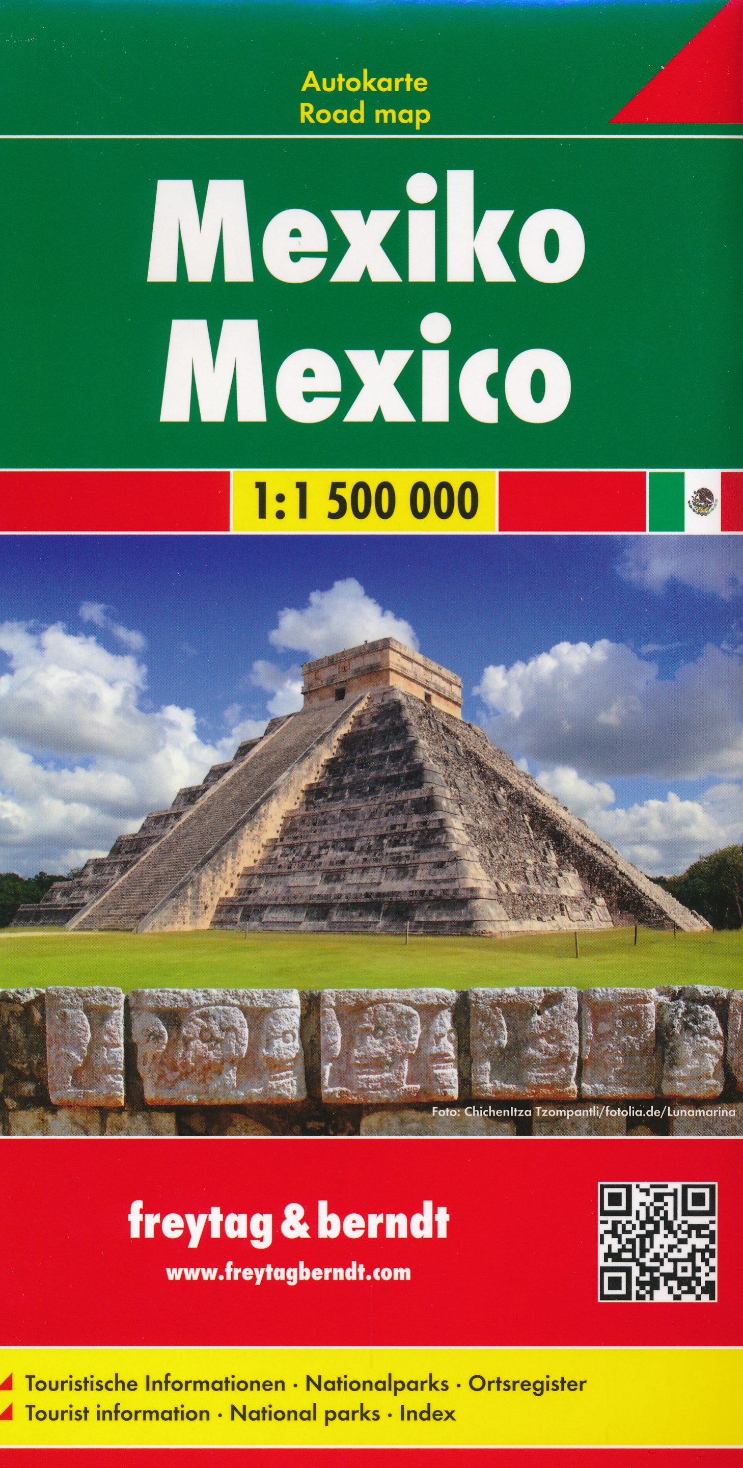
- Wegenkaart - landkaart Mexico | Freytag & Berndt
- Mexiko ab 10.9 EURO Autokarte 1:1. 500. 000 Freytag & Berndt Auto + Freizeitkarte Read more
De Zwerver
Netherlands
Netherlands
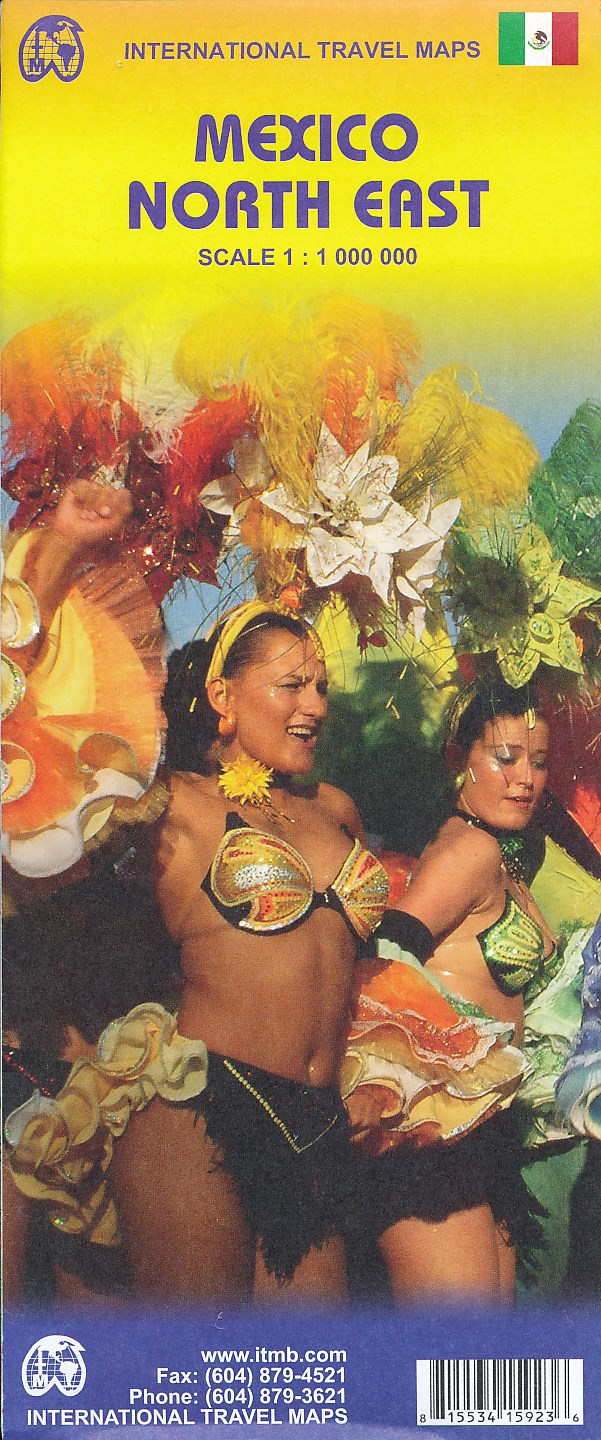
- Wegenkaart - landkaart Mexico North East | ITMB
- Mexico North East Travel Map 1 : 1 000 000 ab 10.5 EURO Read more