
Alabama
Beschreibung
State in the South, bordering on the Gulf of Mexico. Mainly plains, with mountains in the north. Two main trails: The 250 mile Pinhoti Trail (also in Georgia) and the 1600 mile Great Eastern Trail. Several National Forests with good hiking opportunities.
Karte

Wanderwege Landesteil
Links
Fakten
Berichte
Führer und Karten
Übernachtung
Organisationen
Reisebüros
GPS
Sonstiges
Bücher

The Book Depository
United Kingdom
United Kingdom
- Walking The Invisible
- See through the eyes of the Brontes as you immerse yourself in their lives and landscapes, wandering the very same paths they each would have walked in search of the inspiration behind their novels and poetry. An `imaginative and elegant trek through the landscape of the Brontes` Grazia In his journey to get closer... Read more
- Also available from:
- Stanfords, United Kingdom

Stanfords
United Kingdom
United Kingdom
- Walking The Invisible
- See through the eyes of the Brontes as you immerse yourself in their lives and landscapes, wandering the very same paths they each would have walked in search of the inspiration behind their novels and poetry. An `imaginative and elegant trek through the landscape of the Brontes` Grazia In his journey to get closer... Read more

- Also available from:
- De Zwerver, Netherlands
- Stanfords, United Kingdom
De Zwerver
Netherlands
2011
Netherlands
2011
- Wandelgids Weekend Walks Aberdeen and Aberdeenshire | Pocket Mountains
- Aberdeenshire has a stunning coastline with vast, spectacular sandy beaches and picturesque fishing villages. Inland is fertile, peaceful farmland rising to the moors and finally the foothills of the Cairngorms. Its beating heart is the thriving city of Aberdeen. We help you find the best walking routes in all parts of Aberdeenshire, from the... Read more

Stanfords
United Kingdom
2011
United Kingdom
2011
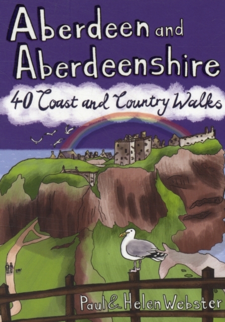
- Aberdeen and Aberdeenshire
- Aberdeenshire has a stunning coastline with vast, spectacular sandy beaches and picturesque fishing villages. Inland is fertile, peaceful farmland rising to the moors and finally the foothills of the Cairngorms. Its beating heart is the thriving city of Aberdeen. We help you find the best walking routes in all parts of Aberdeenshire, from the... Read more

The Book Depository
United Kingdom
United Kingdom
- Adventurous Soul: Volume 8
- Empowering Words of Wisdom & Stories from Women Who Get Outside Read more

The Book Depository
United Kingdom
2019
United Kingdom
2019
- Walking in County Durham
- 40 walking routes exploring Pennine moors, river valleys and coastal paths Read more
- Also available from:
- Stanfords, United Kingdom

Stanfords
United Kingdom
2019
United Kingdom
2019
- Walking in County Durham: 40 walking routes exploring Pennine moors, river valleys and coastal paths
- This guidebook contains 40 routes exploring all parts of County Durham. Ranging from 5 to 24km in length, the walks encompass wild moorland, rolling pastures, riverbanks and the low cliff coast. With such a range of possibilities, there are walks here for all abilities, from easy wanders to more challenging days in the hills.Roman forts,... Read more

- Also available from:
- Stanfords, United Kingdom

Stanfords
United Kingdom
United Kingdom
- Short Walks in Cornwall
- A practical little walk guide to Cornwall endorsed by the Ramblers. All of the 20 walks are 5 miles or under in length and can easily be completed in less than 3 hours. Clear Ordnance Survey maps show the route, along with easy-to-follow walk descriptions. Cornwall forms the tip of the south-west peninsula of the island of Great Britain. The... Read more

The Book Depository
United Kingdom
2019
United Kingdom
2019
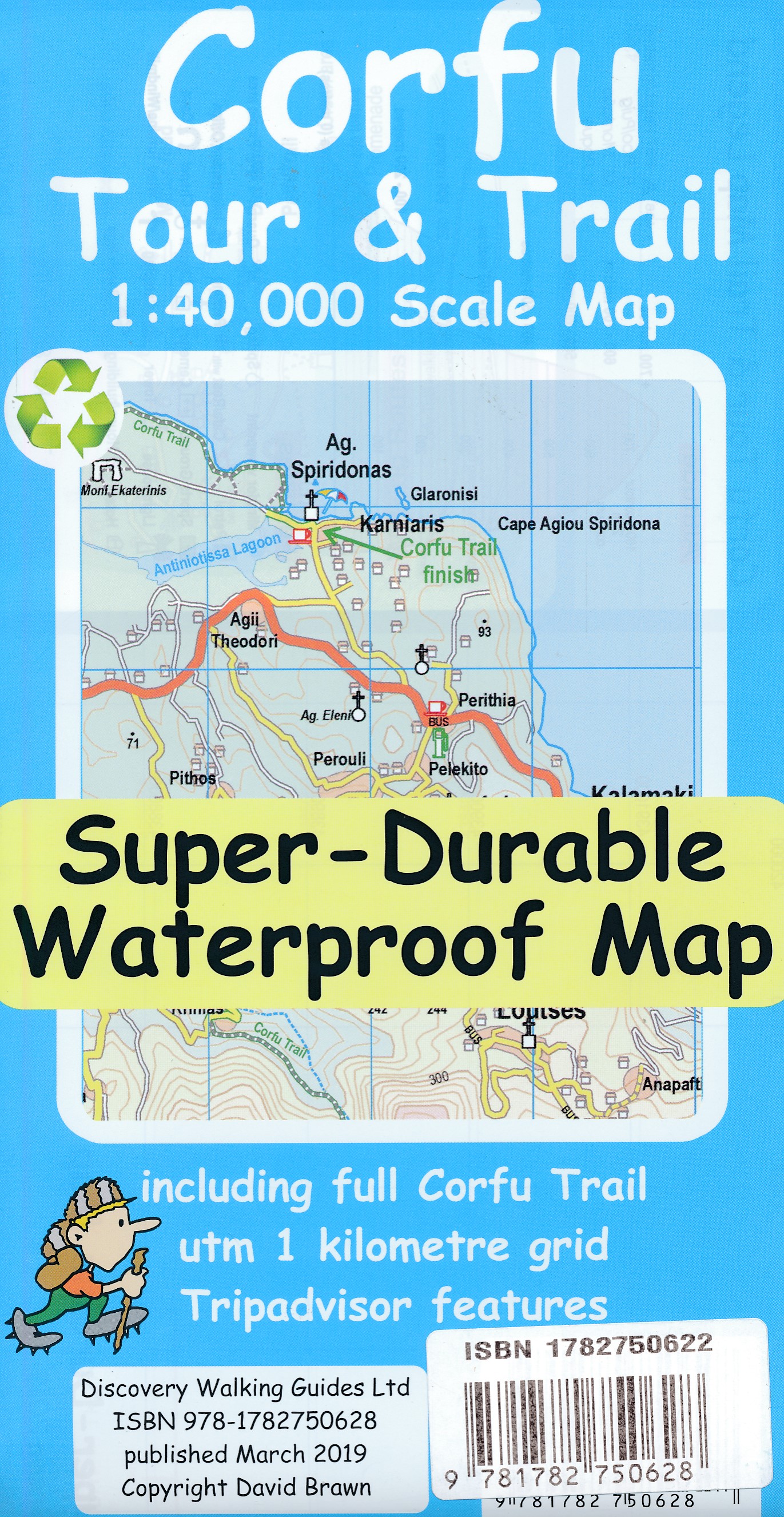
- Corfu Tour & Trail Super-Durable Map
- For better adventures, use the best map. Corfu Tour & Trail Super-Durable Map is the most detailed, accurate, toughest, large scale map of the island that you can buy. Our large 1:40,000 scale produces a double sided map sheet of 840mm by 680mm; big enough to show masses of detail but compact enough to use in the car or on the trail. Corfu... Read more
- Also available from:
- De Zwerver, Netherlands
De Zwerver
Netherlands
2019
Netherlands
2019
- Wandelkaart Tour & Trail Corfu - Korfoe | Discovery Walking Guides
- For better adventures, use the best map. Corfu Tour & Trail Super-Durable Map is the most detailed, accurate, toughest, large scale map of the island that you can buy. Our large 1:40,000 scale produces a double sided map sheet of 840mm by 680mm; big enough to show masses of detail but compact enough to use in the car or on the trail. Corfu... Read more

The Book Depository
United Kingdom
2019
United Kingdom
2019
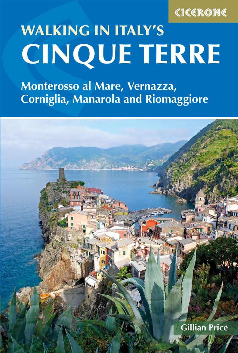
- Walking in Italy's Cinque Terre
- Monterosso al Mare, Vernazza, Corniglia, Manarola and Riomaggiore Read more
- Also available from:
- De Zwerver, Netherlands
- Stanfords, United Kingdom
De Zwerver
Netherlands
2019
Netherlands
2019
- Wandelgids Walking in Italy's Cinque Terre | Cicerone
- Guidebook to walking Italy's stunning Cinque Terre. Describes 16 routes in and around the five famous fishing villages of Monterosso, Vernazza, Corniglia, Manarola and Riomaggiore. Breathtakingly beautiful, this UNESCO World Heritage coastline is a walker's (and foodie's) dream destination. Read more

Stanfords
United Kingdom
2019
United Kingdom
2019
- Walking in Italy`s Cinque Terre: Monterosso al Mare, Vernazza, Corniglia, Manarola and Riomaggiore
- This guidebook presents 16 graded walks exploring the world-famous Cinque Terre villages of Liguria in Italy. Suitable for beginners and experienced walkers, routes take in the villages of Monterosso, Vernazza, Manarola, Corniglia, Riomaggiore, as well as neighbouring Levanto, Campiglia and Porto Venere. It describes the most popular pathways... Read more

- Also available from:
- Stanfords, United Kingdom

Stanfords
United Kingdom
United Kingdom
- Guide To Wiltshire Pub Walks
- Discover the beauty of the Wiltshire countryside with this guide to some of the best walks in the area. There are 20 circular routes here, varying in length from 21/2 to 61/2 miles, all of which take in welcoming pubs renowned for their excellent food. Explore some of Britain`s most famous prehistoric remains such as the vast stone circles at... Read more


The Book Depository
United Kingdom
United Kingdom
- North Shore Rescue
- If You Get Lost Today, Will Anyone Know? Read more

The Book Depository
United Kingdom
United Kingdom
- London's Secret Walks
- 25 Walks Around London's Most Historic Districts Read more
- Also available from:
- Stanfords, United Kingdom

Stanfords
United Kingdom
United Kingdom
- London`s Secret Walks: 25 Walks Around London`s Most Historic Districts
- London is a great city for walking - whether for pleasure, exercise or simply to get from A to B. Despite the city`s extensive public transport system, walking is also often the quickest and most enjoyable way to get around - at least in the centre - and it`s also free and healthy!London has a somewhat haphazard street pattern (to put it... Read more

The Book Depository
United Kingdom
United Kingdom
- Cheshire Year Round Walks
- These 20 circular walks vary in length from 3 1/2 to 7 1/2 miles and are enjoyable all year the round. The author has divided the routes into seasons to show each at its very best. In spring, Macclesfield Forest is dotted with heron`s nests and the woods near Dutton are a sea of bluebells. On a summer`s day you can spot seals near Hilbre... Read more
- Also available from:
- Stanfords, United Kingdom

Stanfords
United Kingdom
United Kingdom
- Cheshire Year Round Walks
- These 20 circular walks vary in length from 3 1/2 to 7 1/2 miles and are enjoyable all year the round. The author has divided the routes into seasons to show each at its very best. In spring, Macclesfield Forest is dotted with heron`s nests and the woods near Dutton are a sea of bluebells. On a summer`s day you can spot seals near Hilbre... Read more

The Book Depository
United Kingdom
United Kingdom
- I Hate Running and You Can Too
- How to Get Started, Keep Going, and Make Sense of an Irrational Passion Read more

The Book Depository
United Kingdom
United Kingdom
- Five-Star Trails: Birmingham
- 35 Beautiful Hikes in and Around Central Alabama Read more

The Book Depository
United Kingdom
United Kingdom
- Minnesota State Parks
- How to Get There, What to Do, Where to Do It Read more
Karten

- Also available from:
- De Zwerver, Netherlands
- Stanfords, United Kingdom


Stanfords
United Kingdom
United Kingdom
- Glocknergruppe - Matrei - Kals - Heiligenblut Tabacco 076
- This Tabacco topographic map at 1:25,000 (1cm = 250m) covers the Alta Via routes, as well as the Via Ferrata where you get further than the ordinary walker with the help of steel ladders. Additional information includes: symbols to indicate 6 different types of accommodation from mountain hut, hotel to camping site. As well as information on... Read more

The Book Depository
United Kingdom
2018
United Kingdom
2018
- Ben Nevis and Glen Coe
- Waterproof mountain map of Ben Nevis & Glen Coe from Harvey at 1:40,000, with a geological map of the region on the reverse, an enlargement of Ben Nevis' summit, and advice on navigating the region safely.MAIN MAP: Topography is shown through clear altitude shading, spot heights, contours at 15m intervals, and index contours at 75m intervals. A... Read more
- Also available from:
- De Zwerver, Netherlands
- Stanfords, United Kingdom

De Zwerver
Netherlands
2018
Netherlands
2018
- Wandelkaart Ben Nevis & Glen Coe | Harvey Maps
- Waterproof mountain map of Ben Nevis & Glen Coe from Harvey at 1:40,000, with a geological map of the region on the reverse, an enlargement of Ben Nevis' summit, and advice on navigating the region safely.MAIN MAP: Topography is shown through clear altitude shading, spot heights, contours at 15m intervals, and index contours at 75m intervals. A... Read more

Stanfords
United Kingdom
2018
United Kingdom
2018
- Ben Nevis & Glen Coe Harvey British Mountain Map XT40
- Waterproof mountain map of Ben Nevis & Glen Coe from Harvey at 1:40,000, with a geological map of the region on the reverse, an enlargement of Ben Nevis` summit, and advice on navigating the region safely.*MAIN MAP:* Topography is shown through clear altitude shading, spot heights, contours at 15m intervals, and index contours at 75m intervals.... Read more

De Zwerver
Netherlands
2019
Netherlands
2019
- Reisgids Iceland Road Guide | Vegahandbokin
- Iceland Road Guide from Vegahandbókin, an exceptionally comprehensive, 605-page guide with region-by-region descriptions of sites accompanied by road maps and street plans, plus a separate road atlas section covering the whole country at 1:500,000 and information on a wide variety of tourism relating topics to help the user get the best of... Read more
- Also available from:
- Stanfords, United Kingdom

Stanfords
United Kingdom
2019
United Kingdom
2019
- Iceland Road Guide
- Iceland Road Guide from Vegahandbókin, an exceptionally comprehensive, 605-page guide with region-by-region descriptions of sites accompanied by road maps and street plans, plus a separate road atlas section covering the whole country at 1:500,000 and information on a wide variety of tourism relating topics to help the user get the best of... Read more

Stanfords
United Kingdom
United Kingdom
- Dhime
- Dhime, sheet no. 2882-01, in the topographic survey of Nepal at 1:50,000 published by the Nepali Government in the late 1990s and early 2000s and produced from remote sensing data by Finnish cartographers as part of that country’s international aid program. The maps cover 15’ x 15’ quadrangles.IMPORTANT – PLEASE NOTE BEFORE ORDERING:... Read more
Stanfords
United Kingdom
United Kingdom
- Arughat
- Arughat, sheet no. 2884-16, in the topographic survey of Nepal at 1:50,000 published by the Nepali Government in the late 1990s and early 2000s and produced from remote sensing data by Finnish cartographers as part of that country’s international aid program. The maps cover 15’ x 15’ quadrangles.IMPORTANT – PLEASE NOTE BEFORE ORDERING:... Read more
Stanfords
United Kingdom
United Kingdom
- Martadi
- Martadi, sheet no. 2981-10, in the topographic survey of Nepal at 1:50,000 published by the Nepali Government in the late 1990s and early 2000s and produced from remote sensing data by Finnish cartographers as part of that country’s international aid program. The maps cover 15’ x 15’ quadrangles.IMPORTANT – PLEASE NOTE BEFORE ORDERING:... Read more
Stanfords
United Kingdom
United Kingdom
- Lapchegau
- Lapchgau, sheet no. 2886-13, in the topographic survey of Nepal at 1:50,000 published by the Nepali Government in the late 1990s and early 2000s and produced from remote sensing data by Finnish cartographers as part of that country’s international aid program. The maps cover 15’ x 15’ quadrangles.IMPORTANT – PLEASE NOTE BEFORE ORDERING:... Read more
Stanfords
United Kingdom
United Kingdom
- Bahundada
- Bahundada, sheet no. 2884-10, in the topographic survey of Nepal at 1:50,000 published by the Nepali Government in the late 1990s and early 2000s and produced from remote sensing data by Finnish cartographers as part of that country’s international aid program. The maps cover 15’ x 15’ quadrangles.IMPORTANT – PLEASE NOTE BEFORE ORDERING:... Read more
Stanfords
United Kingdom
United Kingdom
- Nepal Survey 1:25,000 Sheet 2883 11D (Patichaur)
- Koban, sheet no. 2883-07, in the topographic survey of Nepal at 1:50,000 published by the Nepali Government in the late 1990s and early 2000s and produced from remote sensing data by Finnish cartographers as part of that country’s international aid program. The maps cover 15’ x 15’ quadrangles.IMPORTANT – PLEASE NOTE BEFORE ORDERING:... Read more
Stanfords
United Kingdom
United Kingdom
- Jomson
- Jomson, sheet no. 2883-03, in the topographic survey of Nepal at 1:50,000 published by the Nepali Government in the late 1990s and early 2000s and produced from remote sensing data by Finnish cartographers as part of that country’s international aid program. The maps cover 15’ x 15’ quadrangles.IMPORTANT – PLEASE NOTE BEFORE ORDERING:... Read more
Stanfords
United Kingdom
United Kingdom
- Salpa Bhanjyang - Baksila
- Salpa Bhanjyang - Baksila, sheet no. 2786-12, in the topographic survey of Nepal at 1:50,000 published by the Nepali Government in the late 1990s and early 2000s and produced from remote sensing data by Finnish cartographers as part of that country’s international aid program. The maps cover 15’ x 15’ quadrangles.IMPORTANT – PLEASE NOTE BEFORE... Read more
Stanfords
United Kingdom
United Kingdom
- Gurjakhani
- Gurjakhani, sheet no. 2883-05, in the topographic survey of Nepal at 1:50,000 published by the Nepali Government in the late 1990s and early 2000s and produced from remote sensing data by Finnish cartographers as part of that country’s international aid program. The maps cover 15’ x 15’ quadrangles.IMPORTANT – PLEASE NOTE BEFORE ORDERING:... Read more
Stanfords
United Kingdom
United Kingdom
- Lantan (2885 15)
- Upper Langtang Valley, sheet no. 2885-15, in the topographic survey of Nepal at 1:50,000 published by the Nepali Government in the late 1990s and early 2000s and produced from remote sensing data by Finnish cartographers as part of that country’s international aid program. The maps cover 15’ x 15’ quadrangles.IMPORTANT – PLEASE NOTE BEFORE... Read more
Stanfords
United Kingdom
United Kingdom
- Dattu
- Dattu, sheet no. 2980-02, in the topographic survey of Nepal at 1:50,000 published by the Nepali Government in the late 1990s and early 2000s and produced from remote sensing data by Finnish cartographers as part of that country’s international aid program. The maps cover 15’ x 15’ quadrangles.IMPORTANT – PLEASE NOTE BEFORE ORDERING:... Read more

Stanfords
United Kingdom
United Kingdom
- London High 5 Edition Street Plan
- The first water-resistant “Comfort Map“ with direct access to useful additional information from the InternetLondon in a scale of 1:20,000 including tourist destinations (Hampstead Heath, Olympic Park and Greenwich) presented on a practical map; inclusive of the High 5 Edition app technology for calling up additional travel information and many... Read more