
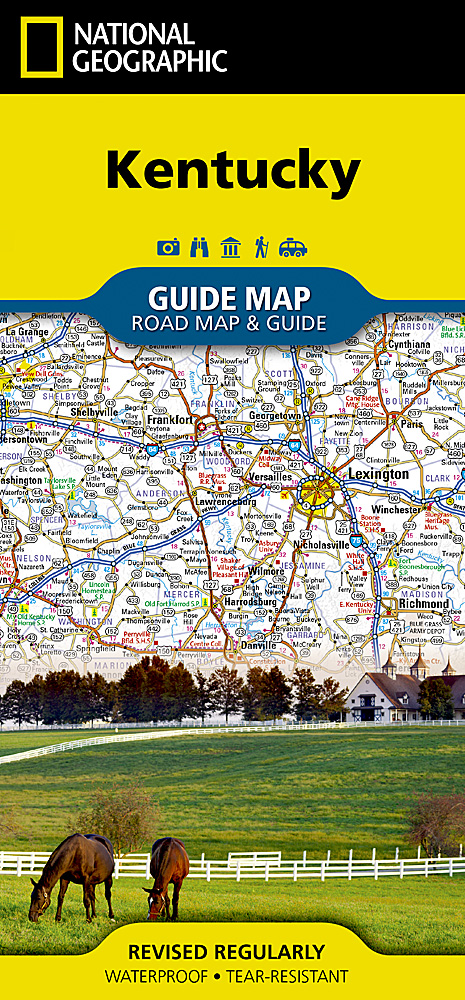
Kentucky
Beschreibung
The central state of Kentucky offers good hiking in the Daniel Boone National Forest, with mountains and many natural beauties like canyons, sandstone cliffs, lakes, creeks and waterfalls.
Two fine trails here are the Sheltowee Trace Trail, 269 miles, and the Jenny Wiley Trail, 180 miles. Through Kentucky run part of the American Discovery Trail and the Great Eastern Trail.
Karte

Wanderwege Landesteil
Links
Fakten
Berichte
Führer und Karten
Übernachtung
Organisationen
Reisebüros
GPS
Sonstiges
Bücher

- Also available from:
- De Zwerver, Netherlands
- Stanfords, United Kingdom


Stanfords
United Kingdom
United Kingdom
- Alpujarras Tour & Trail Super-Durable Map
- For the best adventures, use the best map. The Moorish white villages of the Alpujarras are well known to day trippers from the Costa del Sol. For walkers this is an idyllic region with stone-laid donkey trails linking the tipico villages and stretching up the southern slopes of the Sierra Nevada to Mulhacen; at 3,483 metres the highest... Read more

The Book Depository
United Kingdom
2019
United Kingdom
2019
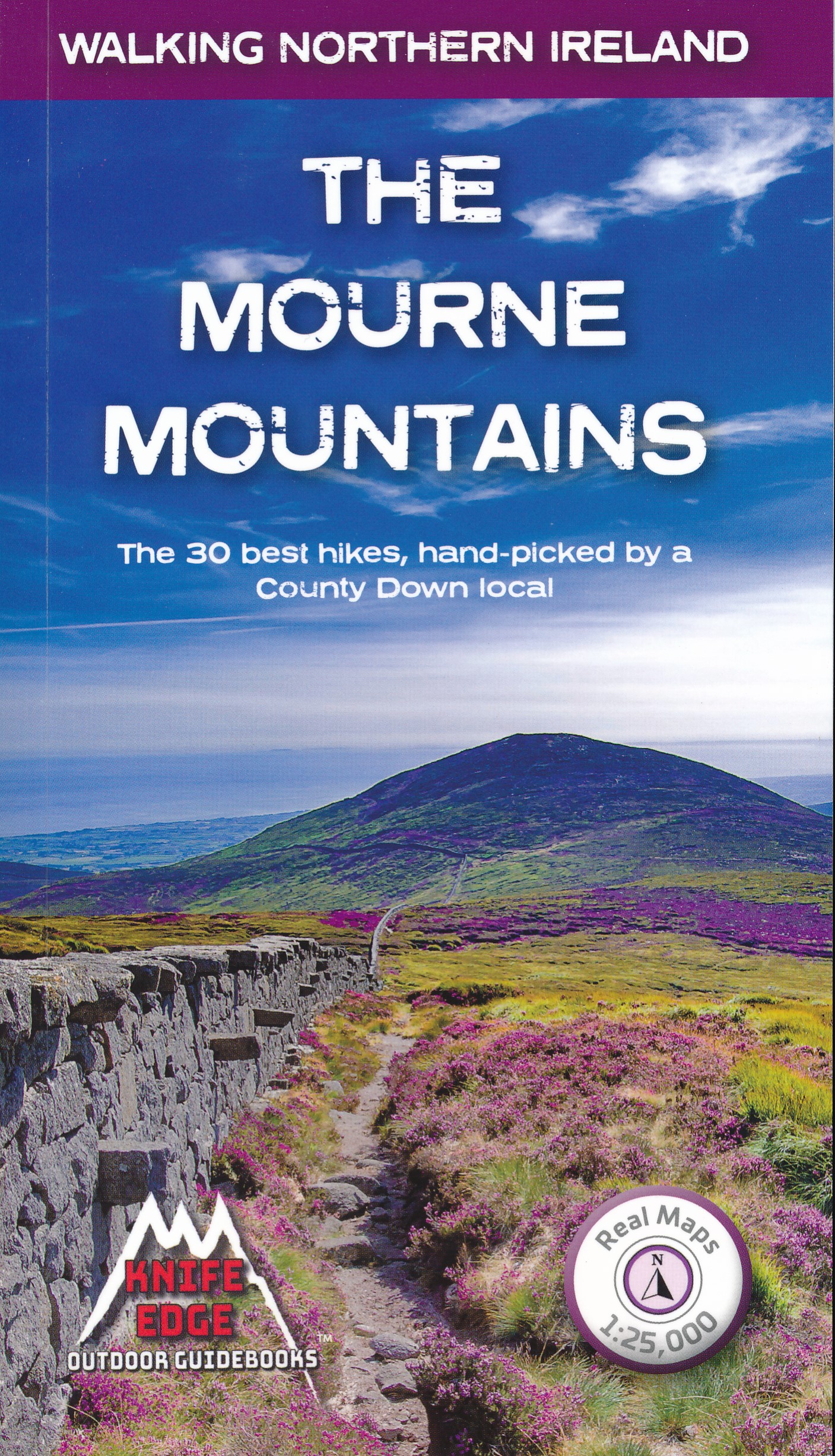
- The Mourne Mountains
- The 30 best hikes, handpicked by a County Down local Read more
- Also available from:
- De Zwerver, Netherlands
- Stanfords, United Kingdom
De Zwerver
Netherlands
2019
Netherlands
2019
- Wandelgids The Mourne Mountains | Knife Edge Outdoor
- The 30 best hikes, handpicked by a County Down local Read more

Stanfords
United Kingdom
2019
United Kingdom
2019
- The Mourne Mountains: The 30 best hikes, handpicked by a County Down local
- The only guidebook for the Mourne Mountains written by a County Down local hiker: 30 handpicked routes.The only guidebook for the Mourne Mountains with Real 1:25,000 Maps: this makes navigation easy and saves you money: no need to carry additional maps.Also includes:Game of Thrones film locationsNumbered waypoints linking maps to textQuick... Read more

- Also available from:
- Stanfords, United Kingdom

Stanfords
United Kingdom
United Kingdom
- Derbyshire & the Peak District - a Dog Walker`s Guide
- On a fine day there is nothing quite so enjoyable for dog owners than getting out into the countryside with their pet for a leisurely walk. Once you get off your home patch, though, it is hard to know where you can walk safely with your dog and which pubs and cafes will welcome you both.Here is a collection of 20 walks, varying in length... Read more


The Book Depository
United Kingdom
2021
United Kingdom
2021
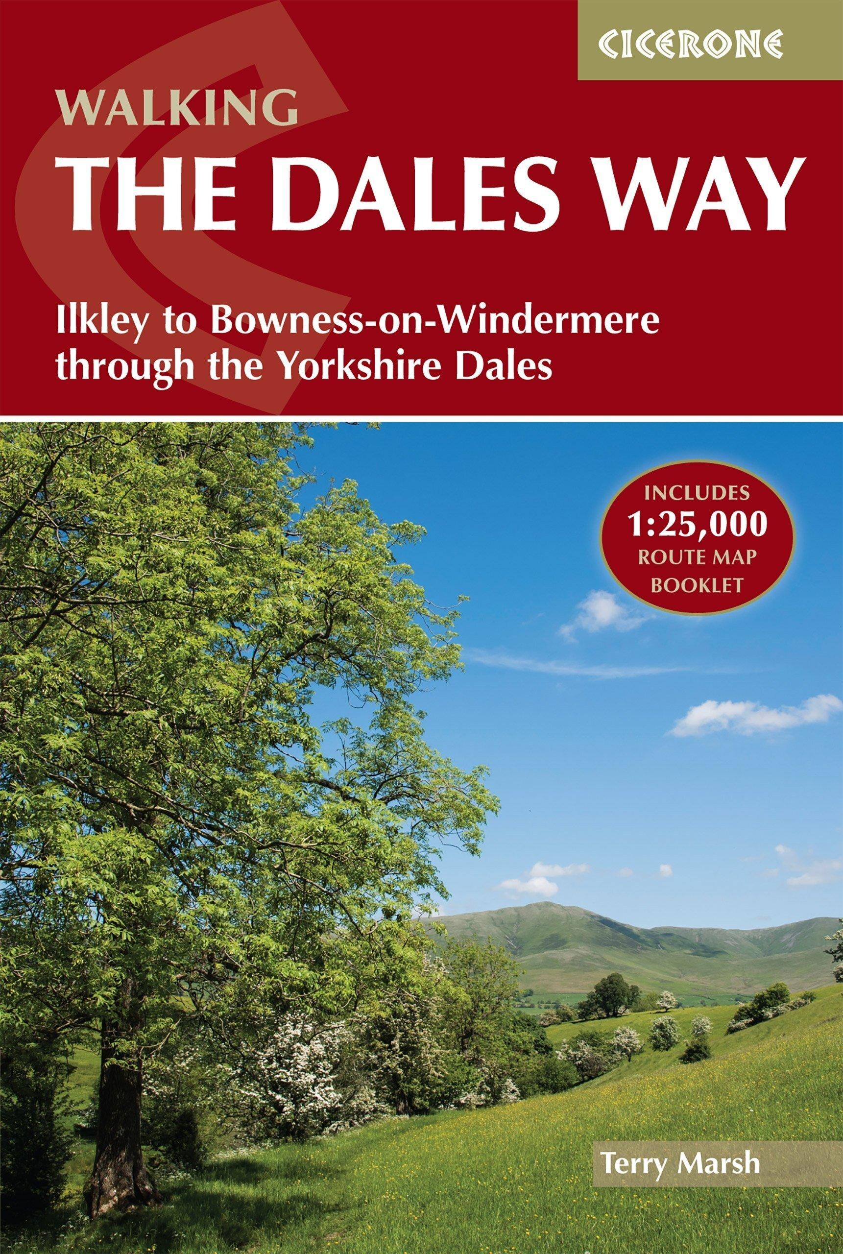
- Walking the Dales Way
- Ilkley to Bowness-on-Windermere through the Yorkshire Dales Read more
- Also available from:
- De Zwerver, Netherlands
- Stanfords, United Kingdom
De Zwerver
Netherlands
2021
Netherlands
2021
- Wandelgids The Dales Way | Cicerone
- A fully waymarked trail from Ilkley to Bowness-on-Windermere, the Dales Way links two of England`s most celebrated national parks, the Yorkshire Dales and the Lake District. Well served for accommodation and facilities, and with easy walking on riverside paths, it is one of the gentlest multi-day walks in Britain and therefore an ideal... Read more

Stanfords
United Kingdom
2021
United Kingdom
2021
- Walking the Dales Way: Ilkley to Bowness-on-Windermere through the Yorkshire Dales
- A fully waymarked trail from Ilkley to Bowness-on-Windermere, the Dales Way links two of England`s most celebrated national parks, the Yorkshire Dales and the Lake District. Well served for accommodation and facilities, and with easy walking on riverside paths, it is one of the gentlest multi-day walks in Britain and therefore an ideal... Read more

The Book Depository
United Kingdom
2019
United Kingdom
2019
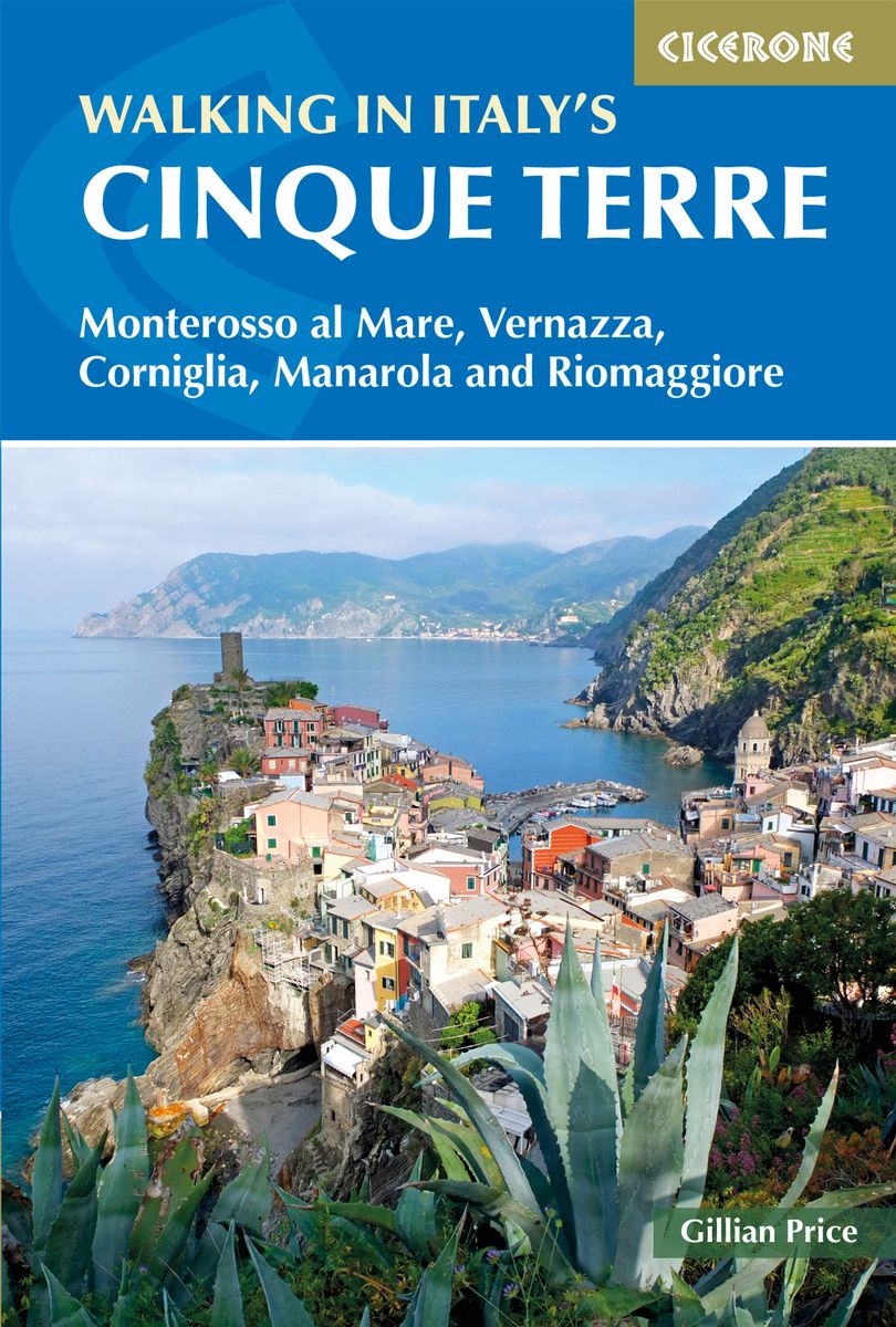
- Walking in Italy's Cinque Terre
- Monterosso al Mare, Vernazza, Corniglia, Manarola and Riomaggiore Read more
- Also available from:
- De Zwerver, Netherlands
- Stanfords, United Kingdom
De Zwerver
Netherlands
2019
Netherlands
2019
- Wandelgids Walking in Italy's Cinque Terre | Cicerone
- Guidebook to walking Italy's stunning Cinque Terre. Describes 16 routes in and around the five famous fishing villages of Monterosso, Vernazza, Corniglia, Manarola and Riomaggiore. Breathtakingly beautiful, this UNESCO World Heritage coastline is a walker's (and foodie's) dream destination. Read more

Stanfords
United Kingdom
2019
United Kingdom
2019
- Walking in Italy`s Cinque Terre: Monterosso al Mare, Vernazza, Corniglia, Manarola and Riomaggiore
- This guidebook presents 16 graded walks exploring the world-famous Cinque Terre villages of Liguria in Italy. Suitable for beginners and experienced walkers, routes take in the villages of Monterosso, Vernazza, Manarola, Corniglia, Riomaggiore, as well as neighbouring Levanto, Campiglia and Porto Venere. It describes the most popular pathways... Read more

- Also available from:
- Stanfords, United Kingdom

Stanfords
United Kingdom
United Kingdom
- Guide To Wiltshire Pub Walks
- Discover the beauty of the Wiltshire countryside with this guide to some of the best walks in the area. There are 20 circular routes here, varying in length from 21/2 to 61/2 miles, all of which take in welcoming pubs renowned for their excellent food. Explore some of Britain`s most famous prehistoric remains such as the vast stone circles at... Read more

The Book Depository
United Kingdom
United Kingdom
- Barbell Training
- Step-to-step Guide to Get Fit and Move Pain Free ( A Weight Training Guide for Strength & Fitness That Won't Go Out of Fashion) Read more

The Book Depository
United Kingdom
2019
United Kingdom
2019
- Walking in County Durham
- 40 walking routes exploring Pennine moors, river valleys and coastal paths Read more
- Also available from:
- Stanfords, United Kingdom

Stanfords
United Kingdom
2019
United Kingdom
2019
- Walking in County Durham: 40 walking routes exploring Pennine moors, river valleys and coastal paths
- This guidebook contains 40 routes exploring all parts of County Durham. Ranging from 5 to 24km in length, the walks encompass wild moorland, rolling pastures, riverbanks and the low cliff coast. With such a range of possibilities, there are walks here for all abilities, from easy wanders to more challenging days in the hills.Roman forts,... Read more

The Book Depository
United Kingdom
2019
United Kingdom
2019
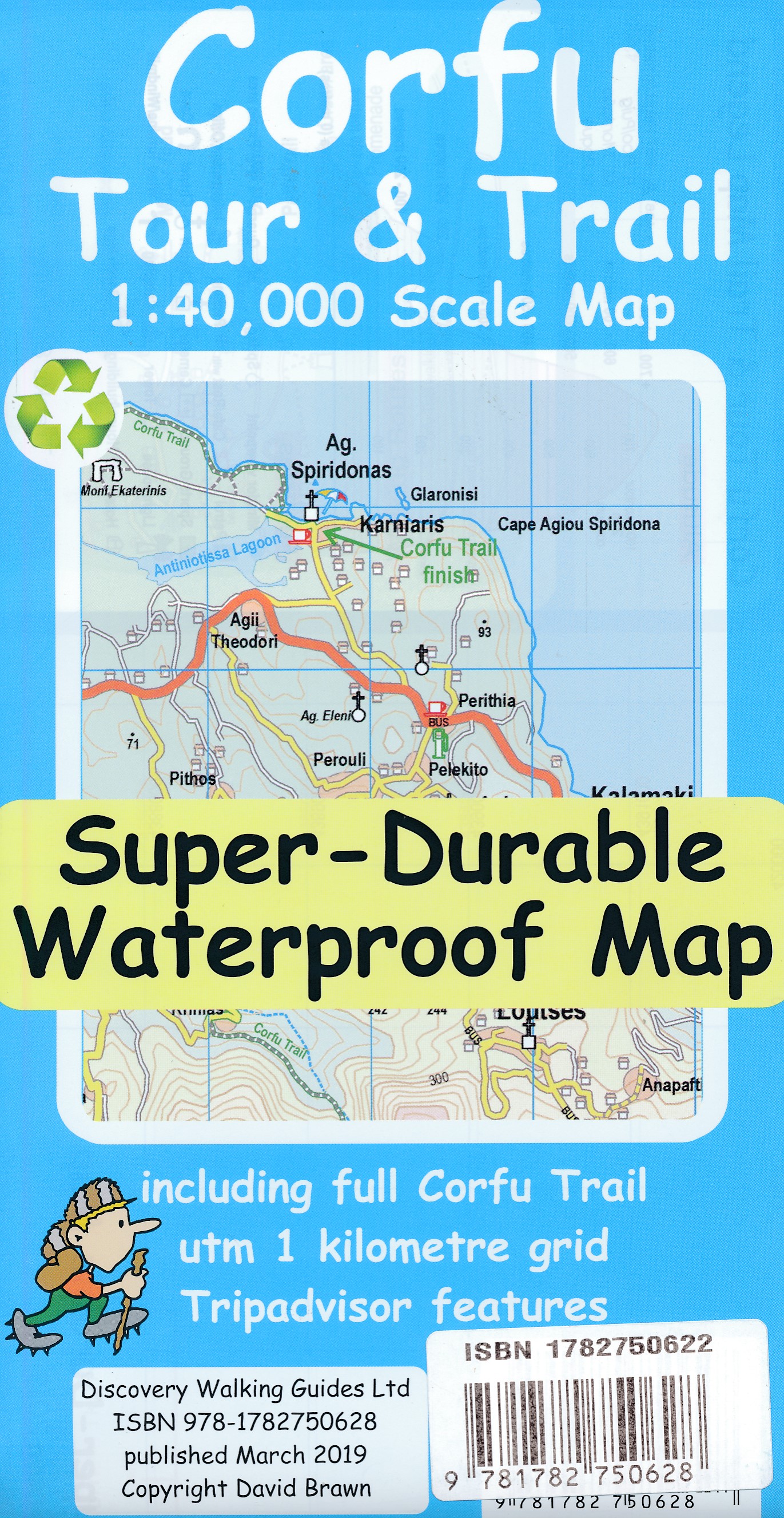
- Corfu Tour & Trail Super-Durable Map
- For better adventures, use the best map. Corfu Tour & Trail Super-Durable Map is the most detailed, accurate, toughest, large scale map of the island that you can buy. Our large 1:40,000 scale produces a double sided map sheet of 840mm by 680mm; big enough to show masses of detail but compact enough to use in the car or on the trail. Corfu... Read more
- Also available from:
- De Zwerver, Netherlands
De Zwerver
Netherlands
2019
Netherlands
2019
- Wandelkaart Tour & Trail Corfu - Korfoe | Discovery Walking Guides
- For better adventures, use the best map. Corfu Tour & Trail Super-Durable Map is the most detailed, accurate, toughest, large scale map of the island that you can buy. Our large 1:40,000 scale produces a double sided map sheet of 840mm by 680mm; big enough to show masses of detail but compact enough to use in the car or on the trail. Corfu... Read more

The Book Depository
United Kingdom
United Kingdom
- North Shore Rescue
- If You Get Lost Today, Will Anyone Know? Read more

The Book Depository
United Kingdom
United Kingdom
- Land Between The Lakes Outdoor Handbook
- Your Complete Guide for Hiking, Camping, Fishing, and Nature Study in Western Tennessee and Kentucky Read more

The Book Depository
United Kingdom
United Kingdom
- I Hate Running and You Can Too
- How to Get Started, Keep Going, and Make Sense of an Irrational Passion Read more

- Also available from:
- Stanfords, United Kingdom

Stanfords
United Kingdom
United Kingdom
- North Devon Coastal Walks
- Explore the North Devon coast with this laminated, waterproof, tear-resistant Devon walking map. With 10 circular, clearly-marked routes this easy-to-use map will help you discover this beautiful coast line via some of the finest pubs and tearooms. North Devon is arguably one of the most beautiful corners of England and is superb walking... Read more

The Book Depository
United Kingdom
United Kingdom
- Cheshire Year Round Walks
- These 20 circular walks vary in length from 3 1/2 to 7 1/2 miles and are enjoyable all year the round. The author has divided the routes into seasons to show each at its very best. In spring, Macclesfield Forest is dotted with heron`s nests and the woods near Dutton are a sea of bluebells. On a summer`s day you can spot seals near Hilbre... Read more
- Also available from:
- Stanfords, United Kingdom

Stanfords
United Kingdom
United Kingdom
- Cheshire Year Round Walks
- These 20 circular walks vary in length from 3 1/2 to 7 1/2 miles and are enjoyable all year the round. The author has divided the routes into seasons to show each at its very best. In spring, Macclesfield Forest is dotted with heron`s nests and the woods near Dutton are a sea of bluebells. On a summer`s day you can spot seals near Hilbre... Read more
Karten

The Book Depository
United Kingdom
2018
United Kingdom
2018
- Ben Nevis and Glen Coe
- Waterproof mountain map of Ben Nevis & Glen Coe from Harvey at 1:40,000, with a geological map of the region on the reverse, an enlargement of Ben Nevis' summit, and advice on navigating the region safely.MAIN MAP: Topography is shown through clear altitude shading, spot heights, contours at 15m intervals, and index contours at 75m intervals. A... Read more
- Also available from:
- De Zwerver, Netherlands
- Stanfords, United Kingdom

De Zwerver
Netherlands
2018
Netherlands
2018
- Wandelkaart Ben Nevis & Glen Coe | Harvey Maps
- Waterproof mountain map of Ben Nevis & Glen Coe from Harvey at 1:40,000, with a geological map of the region on the reverse, an enlargement of Ben Nevis' summit, and advice on navigating the region safely.MAIN MAP: Topography is shown through clear altitude shading, spot heights, contours at 15m intervals, and index contours at 75m intervals. A... Read more

Stanfords
United Kingdom
2018
United Kingdom
2018
- Ben Nevis & Glen Coe Harvey British Mountain Map XT40
- Waterproof mountain map of Ben Nevis & Glen Coe from Harvey at 1:40,000, with a geological map of the region on the reverse, an enlargement of Ben Nevis` summit, and advice on navigating the region safely.*MAIN MAP:* Topography is shown through clear altitude shading, spot heights, contours at 15m intervals, and index contours at 75m intervals.... Read more

- Also available from:
- De Zwerver, Netherlands
- Stanfords, United Kingdom


Stanfords
United Kingdom
United Kingdom
- Glocknergruppe - Matrei - Kals - Heiligenblut Tabacco 076
- This Tabacco topographic map at 1:25,000 (1cm = 250m) covers the Alta Via routes, as well as the Via Ferrata where you get further than the ordinary walker with the help of steel ladders. Additional information includes: symbols to indicate 6 different types of accommodation from mountain hut, hotel to camping site. As well as information on... Read more

De Zwerver
Netherlands
2019
Netherlands
2019
- Reisgids Iceland Road Guide | Vegahandbokin
- Iceland Road Guide from Vegahandbókin, an exceptionally comprehensive, 605-page guide with region-by-region descriptions of sites accompanied by road maps and street plans, plus a separate road atlas section covering the whole country at 1:500,000 and information on a wide variety of tourism relating topics to help the user get the best of... Read more
- Also available from:
- Stanfords, United Kingdom

Stanfords
United Kingdom
2019
United Kingdom
2019
- Iceland Road Guide
- Iceland Road Guide from Vegahandbókin, an exceptionally comprehensive, 605-page guide with region-by-region descriptions of sites accompanied by road maps and street plans, plus a separate road atlas section covering the whole country at 1:500,000 and information on a wide variety of tourism relating topics to help the user get the best of... Read more

Stanfords
United Kingdom
United Kingdom
- Yanma
- Yamna, sheet no. 2787-04, in the topographic survey of Nepal at 1:50,000 published by the Nepali Government in the late 1990s and early 2000s and produced from remote sensing data by Finnish cartographers as part of that country’s international aid program. The maps cover 15’ x 15’ quadrangles.IMPORTANT – PLEASE NOTE BEFORE ORDERING:... Read more
Stanfords
United Kingdom
United Kingdom
- Dattu
- Dattu, sheet no. 2980-02, in the topographic survey of Nepal at 1:50,000 published by the Nepali Government in the late 1990s and early 2000s and produced from remote sensing data by Finnish cartographers as part of that country’s international aid program. The maps cover 15’ x 15’ quadrangles.IMPORTANT – PLEASE NOTE BEFORE ORDERING:... Read more
Stanfords
United Kingdom
United Kingdom
- Rachuli
- Rachuli, sheet no. 2981-16, in the topographic survey of Nepal at 1:50,000 published by the Nepali Government in the late 1990s and early 2000s and produced from remote sensing data by Finnish cartographers as part of that country’s international aid program. The maps cover 15’ x 15’ quadrangles.IMPORTANT – PLEASE NOTE BEFORE ORDERING:... Read more
Stanfords
United Kingdom
United Kingdom
- Tiptala Bhañjyan
- Tiptala Bhanjyan, sheet no. 2787-03, in the topographic survey of Nepal at 1:50,000 published by the Nepali Government in the late 1990s and early 2000s and produced from remote sensing data by Finnish cartographers as part of that country’s international aid program. The maps cover 15’ x 15’ quadrangles.IMPORTANT – PLEASE NOTE BEFORE ORDERING:... Read more

Stanfords
United Kingdom
United Kingdom
- London High 5 Edition Street Plan
- The first water-resistant “Comfort Map“ with direct access to useful additional information from the InternetLondon in a scale of 1:20,000 including tourist destinations (Hampstead Heath, Olympic Park and Greenwich) presented on a practical map; inclusive of the High 5 Edition app technology for calling up additional travel information and many... Read more
Stanfords
United Kingdom
United Kingdom
- Philim
- Philim, sheet no. 2884-12, in the topographic survey of Nepal at 1:50,000 published by the Nepali Government in the late 1990s and early 2000s and produced from remote sensing data by Finnish cartographers as part of that country’s international aid program. The maps cover 15’ x 15’ quadrangles.IMPORTANT – PLEASE NOTE BEFORE ORDERING:... Read more
Stanfords
United Kingdom
United Kingdom
- Lamjun Himal
- Lamjun Himal, sheet no. 2884-09, in the topographic survey of Nepal at 1:50,000 published by the Nepali Government in the late 1990s and early 2000s and produced from remote sensing data by Finnish cartographers as part of that country’s international aid program. The maps cover 15’ x 15’ quadrangles.IMPORTANT – PLEASE NOTE BEFORE ORDERING:... Read more
Stanfords
United Kingdom
United Kingdom
- Taplejung
- Taplejung, sheet no. 2787-11, in the topographic survey of Nepal at 1:50,000 published by the Nepali Government in the late 1990s and early 2000s and produced from remote sensing data by Finnish cartographers as part of that country’s international aid program. The maps cover 15’ x 15’ quadrangles.IMPORTANT – PLEASE NOTE BEFORE ORDERING:... Read more
Stanfords
United Kingdom
United Kingdom
- Ganesh Himal 2885-09
- Ganesh Himal, sheet no. 2885-09, in the topographic survey of Nepal at 1:50,000 published by the Nepali Government in the late 1990s and early 2000s and produced from remote sensing data by Finnish cartographers as part of that country’s international aid program. The maps cover 15’ x 15’ quadrangles.IMPORTANT – PLEASE NOTE BEFORE ORDERING:... Read more
Stanfords
United Kingdom
United Kingdom
- Tinje
- Tinje, sheet no. 2983-10, in the topographic survey of Nepal at 1:50,000 published by the Nepali Government in the late 1990s and early 2000s and produced from remote sensing data by Finnish cartographers as part of that country’s international aid program. The maps cover 15’ x 15’ quadrangles.IMPORTANT – PLEASE NOTE BEFORE ORDERING:... Read more
Stanfords
United Kingdom
United Kingdom
- Lukla - Salleri
- Lukla - Salleri, sheet no. 2786-07, in the topographic survey of Nepal at 1:50,000 published by the Nepali Government in the late 1990s and early 2000s and produced from remote sensing data by Finnish cartographers as part of that country’s international aid program. The maps cover 15’ x 15’ quadrangles.IMPORTANT – PLEASE NOTE BEFORE ORDERING:... Read more