
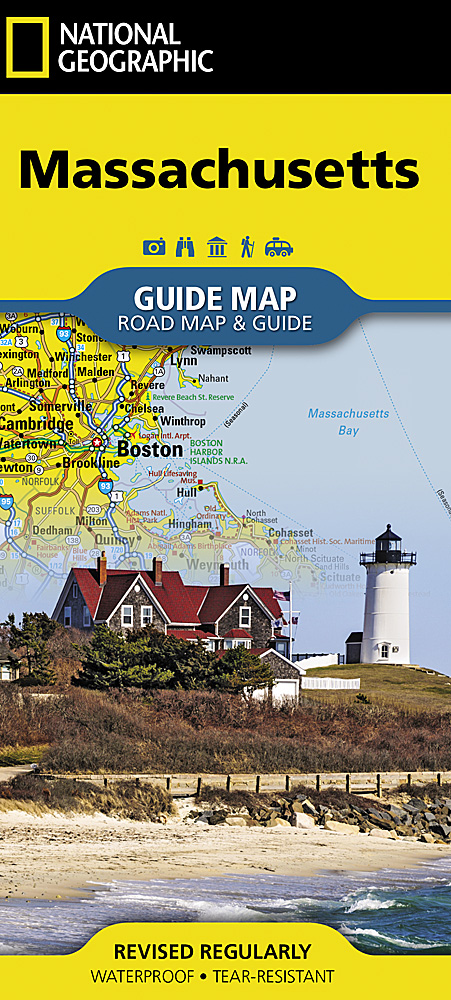
Massachusetts
Beschreibung
Massachusetts is a very populated state in New England. In the west are the Appalachian Mountains, with of course the Appalachian Trail (85 miles in Massachusetts).
The Massachusetts Trail on the Metacomet ridge is 114 miles long. The Midstate Trail counts 92 miles. Other trails include the Bay Circuit Trail, a 150 miles green corridor, and the East Coast Greenway (under construction). The Eastern Continental Trail passes through the state. Finally, there is the proposed New England Trail.
Karte

Wanderwege Landesteil
Links
Fakten
Berichte
Führer und Karten
Übernachtung
Organisationen
Reisebüros
GPS
Sonstiges
Bücher

The Book Depository
United Kingdom
United Kingdom
- Brother Blood on the Appalachian Trail
- Thru & Through: An Appalachian Trail Journey Read more

The Book Depository
United Kingdom
United Kingdom
- The Badger
- A Day to Day Account of Backpacking the Appalachian Trail Read more

The Book Depository
United Kingdom
United Kingdom
- Just Passin' Thru
- A Vintage Store, the Appalachian Trail, and a Cast of Unforgettable Characters Read more


The Book Depository
United Kingdom
United Kingdom
- Hiking the Carolina Mountains
- Appalachian Trail, Blue Ridge Parkway, DuPont State Forest, Great Smoky Mountains National Park, Pisgah & Nantahala National Forests, Upstate South Carolina and Much More Read more


The Book Depository
United Kingdom
United Kingdom
- Explorer's Guide 50 Hikes in Eastern Pennsylvania
- From the Mason-Dixon Line to the Poconos and North Mountain Read more

The Book Depository
United Kingdom
United Kingdom
- Beer Hiking New England
- The most refreshing way to discover Maine, New Hampshire, Vermont, Massachusetts, Connecticut and Rhode Island Read more

The Book Depository
United Kingdom
United Kingdom
- A Walk for Sunshine
- A 2,160-mile Expedition for Charity on the Appalachian Trail Read more

The Book Depository
United Kingdom
United Kingdom
- Amc's Best Day Hikes in the Berkshires
- Four-Season Guide to 50 of the Best Trails in Western Massachusetts Read more

The Book Depository
United Kingdom
United Kingdom
- Just Passin' Thru
- A Vintage Store, the Appalachian Trail, and a Cast of Unforgettable Characters Read more

The Book Depository
United Kingdom
United Kingdom
- Thru-Hiking the Appalachian Trail
- 100 Tips, Tricks, Traps, and Facts Read more

The Book Depository
United Kingdom
United Kingdom
- Chicas on the Appalachian Trail
- Women-Specific Tips for Thru-Hiking the Appalachian Trail and Conversations with Badass Women Hikers Read more

The Book Depository
United Kingdom
United Kingdom
Karten

The Book Depository
United Kingdom
United Kingdom
- Green Mountains N.f., Moosalamoo Nra/rutland
- Trails Illustrated Other Rec. Areas Read more
- Also available from:
- De Zwerver, Netherlands
- Stanfords, United Kingdom
- Bol.com, Netherlands
- Bol.com, Belgium

De Zwerver
Netherlands
Netherlands
- Wandelkaart - Topografische kaart 747 Green Mountain National Forest North - Moosalamoo NRA - Rutland | National Geographic
- Prachtige geplastificeerde kaart van het bekende nationaal park. Met alle recreatieve voorzieningen als campsites, maar ook met topografische details en wandelroutes ed. Door uitgekiend kleurgebruik zeer prettig in gebruik. Scheur en watervast! National Geographic's Green Mountain National Forest North Trails Illustrated topographic map is... Read more

Stanfords
United Kingdom
United Kingdom
- Green Mountain National Forest - Moosalamoo NRA - Rutland VT
- Map No. 747, Green Mountain National Forest: Moosalamoo NRA - Rutland area in Vermont, in an extensive series of GPS compatible, contoured hiking maps of USA’s national and state parks or forests and other popular recreational areas. Cartography based on the national topographic survey, with additional tourist information.The maps, with most... Read more

Bol.com
Netherlands
Netherlands
- Green Mountains N.F., Moosalamoo NRA/Rutland
- Waterproof Tear-Resistant Topographic MapNational Geographic's Green Mountain National Forest North Trails Illustrated topographic map is the most comprehensive available for outdoor enthusiasts of all types. Designed to be easy-to-read, yet highly detailed this map includes a comprehensive road and trail network distinguishing between... Read more
Bol.com
Belgium
Belgium
- Green Mountains N.F., Moosalamoo NRA/Rutland
- Waterproof Tear-Resistant Topographic MapNational Geographic's Green Mountain National Forest North Trails Illustrated topographic map is the most comprehensive available for outdoor enthusiasts of all types. Designed to be easy-to-read, yet highly detailed this map includes a comprehensive road and trail network distinguishing between... Read more

De Zwerver
Netherlands
Netherlands
- Wandelkaart - Topografische kaart 316 Cades Cove - Elkmont - Great Smoky Mountains National Park | National Geographic
- Prachtige geplastificeerde kaart van het bekende nationaal park. Met alle recreatieve voorzieningen als campsites, maar ook met topografische details en wandelroutes ed. Door uitgekiend kleurgebruik zeer prettig in gebruik. Scheur en watervast! This title provides an increased scale of one of the most visited National Parks in the US, and one... Read more
- Also available from:
- Stanfords, United Kingdom
- Bol.com, Netherlands
- Bol.com, Belgium

Stanfords
United Kingdom
United Kingdom
- Cades Cove - Elkmont - Great Smoky Mountains National Park NC/TN
- Map No. 316, Great Smoky Mountains National Park: Cades Cove - Elkmont, NC/TN, in an extensive series of GPS compatible, contoured hiking maps of USA’s national and state parks or forests and other popular recreational areas. Cartography based on the national topographic survey, with additional tourist information.The maps, with most titles now... Read more

Bol.com
Netherlands
Netherlands
- Cades Cove/elkmont, Great Smoky Mountains National Park
- Waterproof Tear-Resistant Topographic MapThis title provides an increased scale of one of the most visited National Parks in the US, and one of our more popular map titles. This increased scale will provide greater detail to the backcountry users and Appalachian Trail through-hikers.Park Introduction:Great Smoky Mountains National Park is... Read more
Bol.com
Belgium
Belgium
- Cades Cove/elkmont, Great Smoky Mountains National Park
- Waterproof Tear-Resistant Topographic MapThis title provides an increased scale of one of the most visited National Parks in the US, and one of our more popular map titles. This increased scale will provide greater detail to the backcountry users and Appalachian Trail through-hikers.Park Introduction:Great Smoky Mountains National Park is... Read more

- Also available from:
- De Zwerver, Netherlands
- Stanfords, United Kingdom
- Bol.com, Netherlands
- Bol.com, Belgium
De Zwerver
Netherlands
Netherlands
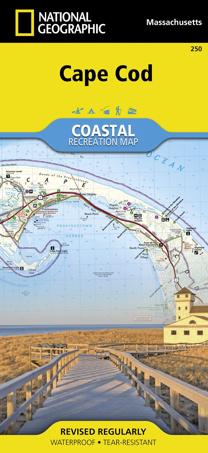
- Wandelkaart - Topografische kaart 250 Cape Cod | National Geographic
- Prachtige geplastificeerde topografische wandel- en vaarkaart van het Cape Cod kustgebied. Met alle recreatieve voorzieningen als campsites, stranden, en watersport maar ook met topografische details en wandelroutes ed. Door uitgekiend kleurgebruik zeer prettig in gebruik. Scheur en watervast! National Geographic's Cape Cod Coastal... Read more

Stanfords
United Kingdom
United Kingdom
- Cape Cod National Seashore MA NGS Trails Illustrated Map 250
- Map No. 250, Cape Cod National Seashore, MA, in an extensive series of GPS compatible, contoured hiking maps of USA’s national and state parks or forests and other popular recreational areas. Cartography based on the national topographic survey, with additional tourist information.The maps, with most titles now printed on light, waterproof and... Read more

Bol.com
Netherlands
Netherlands
- Cape Cod
- Waterproof Tear-Resistant Topographic MapNational Geographic's Cape Cod Coastal Recreation map is the ideal companion for adventures along shore and on the water.National Geographic's new family of Coastal Recreation maps are two-sided, waterproof maps designed specifically for recreation along America's most beautiful shorelines. These... Read more
Bol.com
Belgium
Belgium
- Cape Cod
- Waterproof Tear-Resistant Topographic MapNational Geographic's Cape Cod Coastal Recreation map is the ideal companion for adventures along shore and on the water.National Geographic's new family of Coastal Recreation maps are two-sided, waterproof maps designed specifically for recreation along America's most beautiful shorelines. These... Read more

Stanfords
United Kingdom
United Kingdom
- Chattahoochee National Forest - Springer and Cohutta Mountains GA/SC 777
- Map No. 777, Chattahoochee National Forest: Springer and Cohutta Mountains, GA/SC, in an extensive series of GPS compatible, contoured hiking maps of USA’s national and state parks or forests and other popular recreational areas. Cartography based on the national topographic survey, with additional tourist information.The maps, with most titles... Read more
- Also available from:
- Bol.com, Netherlands
- Bol.com, Belgium

Bol.com
Netherlands
Netherlands
- Springer & Cohutta Mountains, Chattahoochee National Forest
- Waterproof Tear-Resistant Topographic MapLocated just north of Atlanta, the Chattahoochee National Forest contains the southern terminus of the Appalachian Trail along with an abundance of recreational opportunities for outdoor enthusiasts of all interests.This detailed recreation map contains carefully researched trails, campsites,... Read more
Bol.com
Belgium
Belgium
- Springer & Cohutta Mountains, Chattahoochee National Forest
- Waterproof Tear-Resistant Topographic MapLocated just north of Atlanta, the Chattahoochee National Forest contains the southern terminus of the Appalachian Trail along with an abundance of recreational opportunities for outdoor enthusiasts of all interests.This detailed recreation map contains carefully researched trails, campsites,... Read more

The Book Depository
United Kingdom
United Kingdom
- Mount Rogers High Country
- Trails Illustrated Other Rec. Areas Read more
- Also available from:
- De Zwerver, Netherlands
- Stanfords, United Kingdom
- Bol.com, Netherlands
- Bol.com, Belgium

De Zwerver
Netherlands
Netherlands
- Wandelkaart - Topografische kaart 318 Mount Rogers High Country - Grayson Highlands State Park | National Geographic
- Prachtige geplastificeerde kaart van het bekende nationaal park. Met alle recreatieve voorzieningen als campsites, maar ook met topografische details en wandelroutes ed. Door uitgekiend kleurgebruik zeer prettig in gebruik. Scheur en watervast! National Geographic's Trails Illustrated map of Mount Rogers High Country and Grayson Highlands... Read more

Stanfords
United Kingdom
United Kingdom
- Mount Rogers High Country VA
- Map No. 318 - Mount Rogers High Country in Virginia in an extensive series of GPS compatible, contoured hiking maps of USA’s national and state parks or forests and other popular recreational areas. Cartography based on the national topographic survey, with additional tourist information.The maps, with most titles now printed on light,... Read more

Bol.com
Netherlands
Netherlands
- Mount Rogers High Country
- Waterproof Tear-Resistant Topographic MapNational Geographic's Trails Illustrated map of Mount Rogers High Country and Grayson Highlands State Park, Southwest Virginia, is a two-sided, waterproof, topographic trail map designed to meet the needs of outdoor enthusiasts with unmatched durability and detail. This map was created in... Read more
Bol.com
Belgium
Belgium
- Mount Rogers High Country
- Waterproof Tear-Resistant Topographic MapNational Geographic's Trails Illustrated map of Mount Rogers High Country and Grayson Highlands State Park, Southwest Virginia, is a two-sided, waterproof, topographic trail map designed to meet the needs of outdoor enthusiasts with unmatched durability and detail. This map was created in... Read more