
New Mexico
Beschreibung
New Mexico is mountainous with countless rugged features, open plains and arid deserts.
Important trails here are the Continental Divide Trail and the Grand Enchantment Trail (also in Arizona).
Thousands of miles of (alpine) trails run through the Santa Fe National Forest and Gila National Forest. Also interesting are the Carson National Forest, the Lincoln National Forest and the Cibola National Forest.
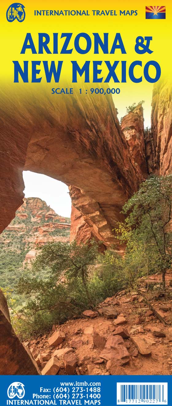
Karte

Wanderwege Landesteil
Links
Fakten
Berichte
Führer und Karten
Übernachtung
Organisationen
Reisebüros
GPS
Sonstiges
Bücher

The Book Depository
United Kingdom
United Kingdom
- Best Wildflower Hikes New Mexico
- A Guide to the Area's Greatest Wildflower Hiking Adventures Read more

- Also available from:
- Stanfords, United Kingdom

Stanfords
United Kingdom
United Kingdom
- Windswept: why women walk
- The story of extraordinary women who lost their way - their sense of self, their identity, their freedom - and found it again through walking in the wild. `Moving and memorable` Virginia Nicholson, author of How Was It for You?`A triumph ... I felt as though I were being lifted, carried up to peaks` Charlotte Peacock, author of Into the... Read more

- Also available from:
- De Zwerver, Netherlands
- Stanfords, United Kingdom
De Zwerver
Netherlands
Netherlands
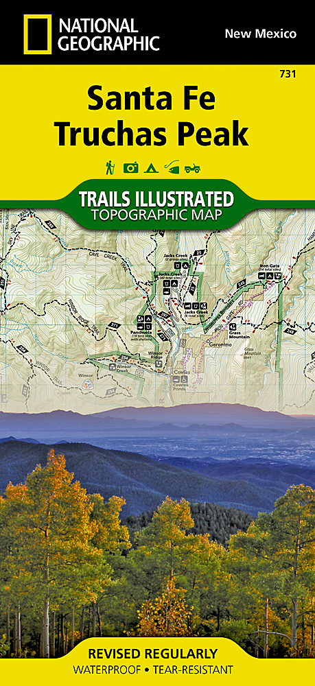
- Wandelkaart 731 Santa Fe, Truchas Peak | National Geographic
- Trails Illustrated Read more

Stanfords
United Kingdom
United Kingdom
- Santa Fe - Truchas Peak NM
- Map No. 731, Santa Fe - Truchas Peak in New Mexico at 1:63,360, part of an extensive series of GPS compatible, contoured hiking maps of USA’s national and state parks or forests and other popular recreational areas. Cartography, based on the national topographic survey, has extensive additional tourist information.The maps, printed on light,... Read more

Stanfords
United Kingdom
United Kingdom
- The Golden Age
- Charles V, Emperor of Europe and the New World, is the central figure The Golden age, the second volume of Hugh Thomas’s superb history of the Spanish Empire. It begins with the return of the remnants of Magellan’s expedition around the world in 1522 and ends with Charles’s death in 1558. In the decades between, the Spaniards conquer Guatemala,... Read more

Stanfords
United Kingdom
United Kingdom
- Windswept: Walking in the Footsteps of Remarkable Women
- The story of extraordinary women who lost their way - their sense of self, their identity, their freedom - and found it again through walking in the wild. A feminist exploration of the power of walking in nature, following in the footsteps of Gwen John, Georgia O`Keeffe, Frieda Lawrence, Clara Vyvyan, Simone de Beauvoir, Daphne Du Maurier and... Read more
Bol.com
Netherlands
2015
Netherlands
2015
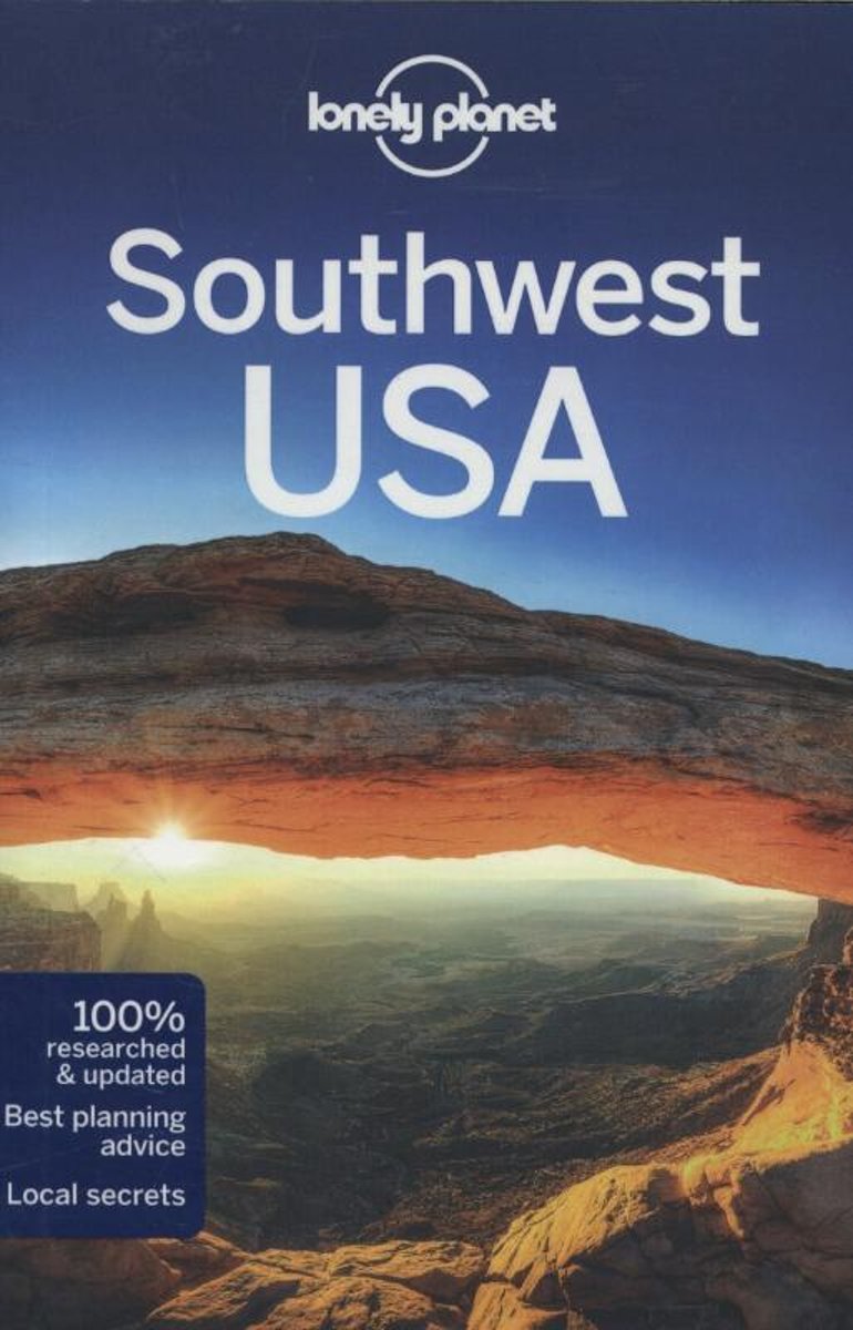
- Lonely Planet Southwest USA
- Lonely Planet: The world's leading travel guide publisher Lonely Planet Southwest USA is your passport to the most relevant, up-to-date advice on what to see and skip, and what hidden discoveries await you. Sup on a green chile sauce, explore the geological treasure of the Grand Canyon, visit the Old West towns that lured gold and copper... Read more
- Also available from:
- Bol.com, Belgium
Bol.com
Belgium
2015
Belgium
2015
- Lonely Planet Southwest USA
- Lonely Planet: The world's leading travel guide publisher Lonely Planet Southwest USA is your passport to the most relevant, up-to-date advice on what to see and skip, and what hidden discoveries await you. Sup on a green chile sauce, explore the geological treasure of the Grand Canyon, visit the Old West towns that lured gold and copper... Read more
Bol.com
Netherlands
Netherlands
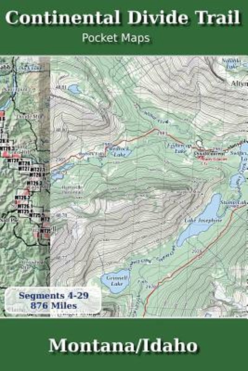
- Continental Divide Trail Pocket Maps - Montana/Idaho
- Montana & Idaho2nd Edition - November 5, 2017 - Major Updates for 2018The Continental Divide Trail Pocket Map Series is a current, complete and concise set of topographic maps created with digitized base maps covering every step of the 3,062 mile trail from Mexico to Canada. These are not 40 year old scanned USGS topographic maps.Features:+... Read more
- Also available from:
- Bol.com, Belgium
Bol.com
Belgium
Belgium
- Continental Divide Trail Pocket Maps - Montana/Idaho
- Montana & Idaho2nd Edition - November 5, 2017 - Major Updates for 2018The Continental Divide Trail Pocket Map Series is a current, complete and concise set of topographic maps created with digitized base maps covering every step of the 3,062 mile trail from Mexico to Canada. These are not 40 year old scanned USGS topographic maps.Features:+... Read more
Bol.com
Netherlands
Netherlands
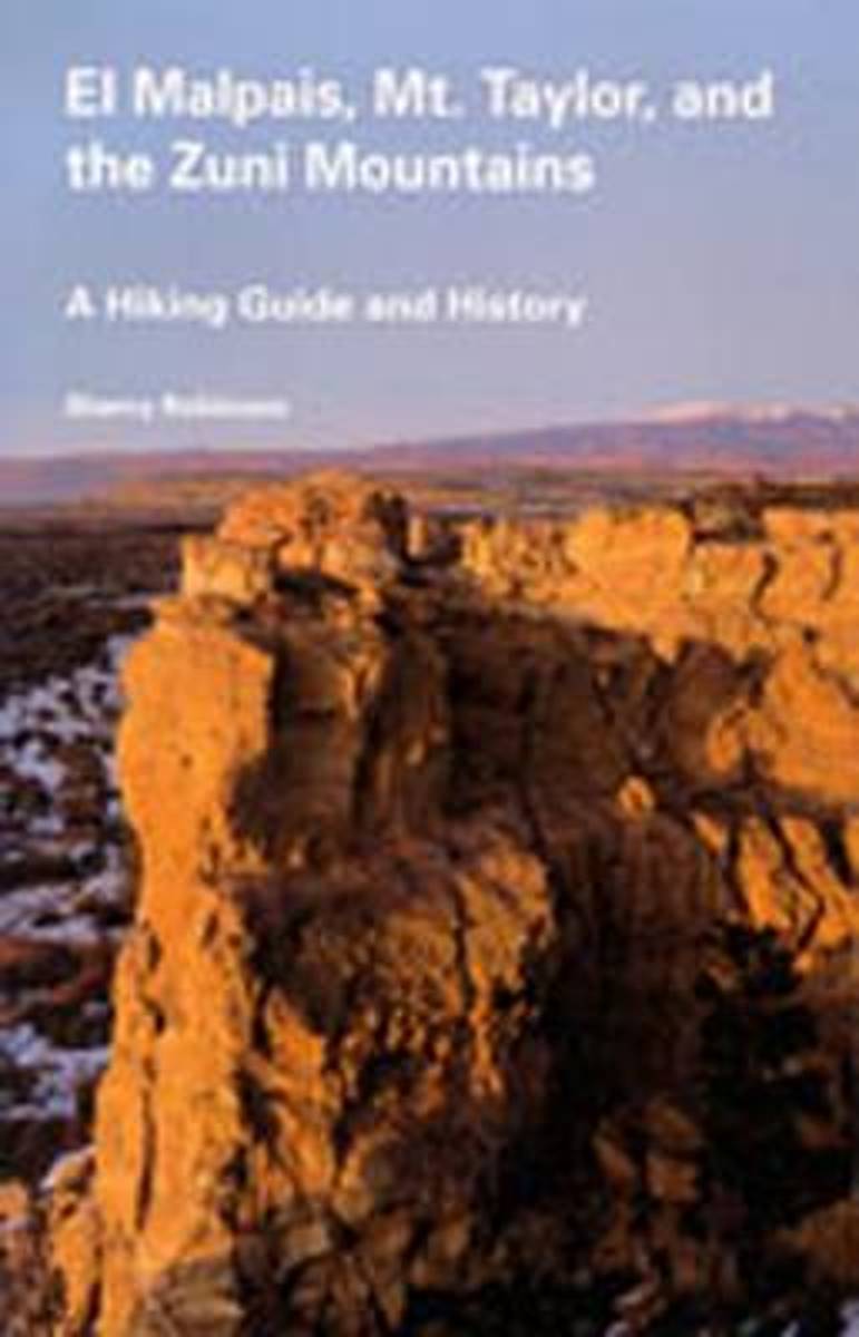
- El Malpais, Mt Taylor and the Zuni Mountains
- West central New Mexico offers some of the most diverse and fascinating landforms in the Southwest. Volcanic activity shaped the tortured landscape of El Malpais in the recent geologic past. The broad mass of Mount Taylor, an 11,389-foot volcano from another age, is the setting for a popular quadrathlon. And the gentle and park-like Zuni... Read more
- Also available from:
- Bol.com, Belgium
Bol.com
Belgium
Belgium
- El Malpais, Mt Taylor and the Zuni Mountains
- West central New Mexico offers some of the most diverse and fascinating landforms in the Southwest. Volcanic activity shaped the tortured landscape of El Malpais in the recent geologic past. The broad mass of Mount Taylor, an 11,389-foot volcano from another age, is the setting for a popular quadrathlon. And the gentle and park-like Zuni... Read more
Bol.com
Netherlands
Netherlands
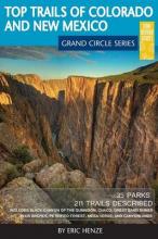
- Top Trails of Colorado and New Mexico
- So you've been done an Arizona vacation, maybe even Colorado and Utah, but have you done the Grand Circle? You may have heard of the term and likely know it well if you live within it. For those that don't know what the Grand Circle means, you aren't alone. It is, in a nutshell, one of the "must do" vacation destinations in North America. The... Read more
- Also available from:
- Bol.com, Belgium
Bol.com
Belgium
Belgium
- Top Trails of Colorado and New Mexico
- So you've been done an Arizona vacation, maybe even Colorado and Utah, but have you done the Grand Circle? You may have heard of the term and likely know it well if you live within it. For those that don't know what the Grand Circle means, you aren't alone. It is, in a nutshell, one of the "must do" vacation destinations in North America. The... Read more

Bol.com
Netherlands
Netherlands
- The Sound of Paper
- 'Lately, I am trying to provoke myself into art - into writing... I wasn't exactly in despair - I was in cynicism, which is despair's more torpid sister... Let me tell you how writing snuck back on me.'Whether you are starting from scratch or need a gentle nudge back in the right direction, The Sound of Paper is a wonderful creative companion.... Read more
- Also available from:
- Bol.com, Belgium
Bol.com
Belgium
Belgium
- The Sound of Paper
- 'Lately, I am trying to provoke myself into art - into writing... I wasn't exactly in despair - I was in cynicism, which is despair's more torpid sister... Let me tell you how writing snuck back on me.'Whether you are starting from scratch or need a gentle nudge back in the right direction, The Sound of Paper is a wonderful creative companion.... Read more
Bol.com
Netherlands
Netherlands
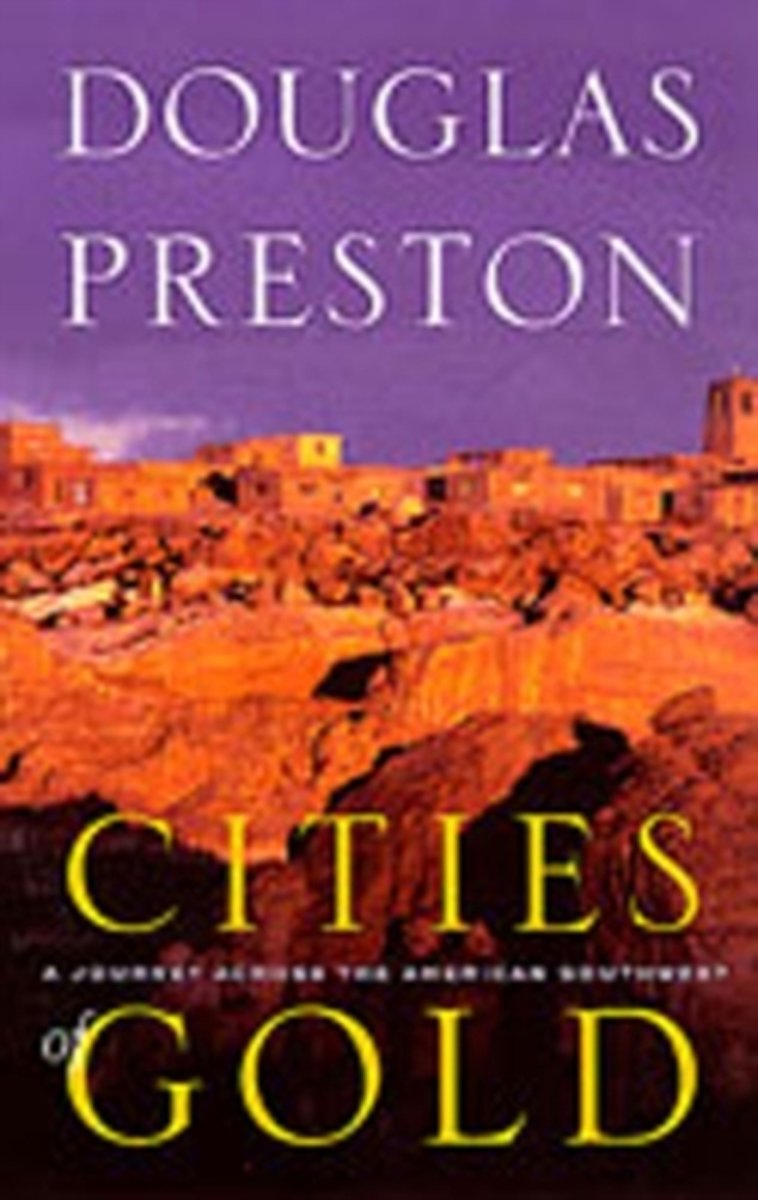
- Cities of Gold
- This new ebook edition of Cities of Gold includes for very first time over 100 never-before-published photographs taken during the author’s epic, thousand mile horseback journey across Arizona and New Mexico. It also includes many rare and extraordinary historical photographs of the Old West, Native Americans, pioneers, prospectors, Indian... Read more
- Also available from:
- Bol.com, Belgium
Bol.com
Belgium
Belgium
- Cities of Gold
- This new ebook edition of Cities of Gold includes for very first time over 100 never-before-published photographs taken during the author’s epic, thousand mile horseback journey across Arizona and New Mexico. It also includes many rare and extraordinary historical photographs of the Old West, Native Americans, pioneers, prospectors, Indian... Read more
Bol.com
Netherlands
Netherlands
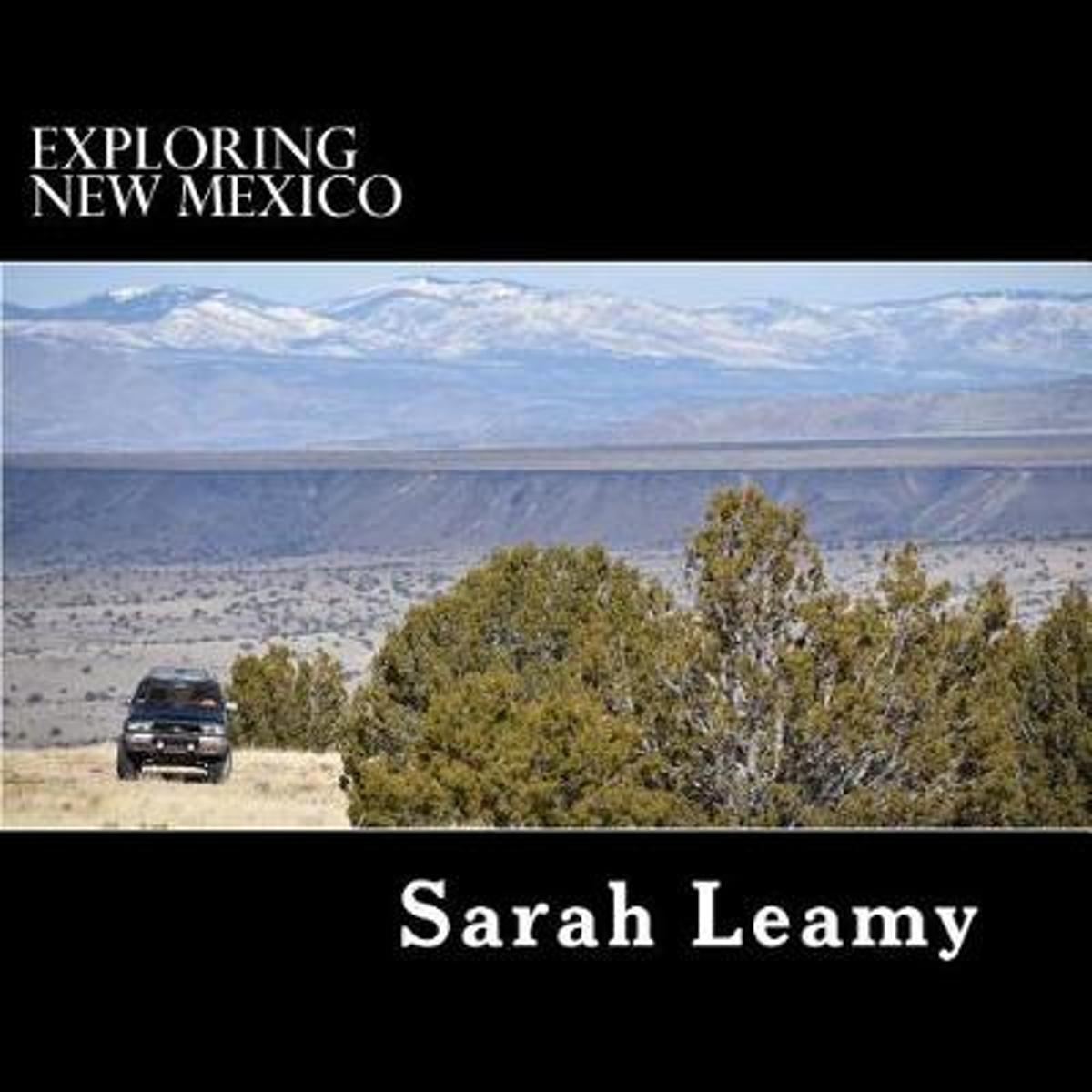
- Exploring New Mexico
- Exploring New Mexico over the last twenty years has given Sarah a great sense of the most unique camping sites, hiking trails, rivers, mountains, lakes and back roads. Whether you're an armchair traveler or keen to follow in their tracks, you'll be inspired by the photographs and brief descriptions of the lakes and national forests. For fuller... Read more
- Also available from:
- Bol.com, Belgium
Bol.com
Belgium
Belgium
- Exploring New Mexico
- Exploring New Mexico over the last twenty years has given Sarah a great sense of the most unique camping sites, hiking trails, rivers, mountains, lakes and back roads. Whether you're an armchair traveler or keen to follow in their tracks, you'll be inspired by the photographs and brief descriptions of the lakes and national forests. For fuller... Read more
Bol.com
Netherlands
Netherlands
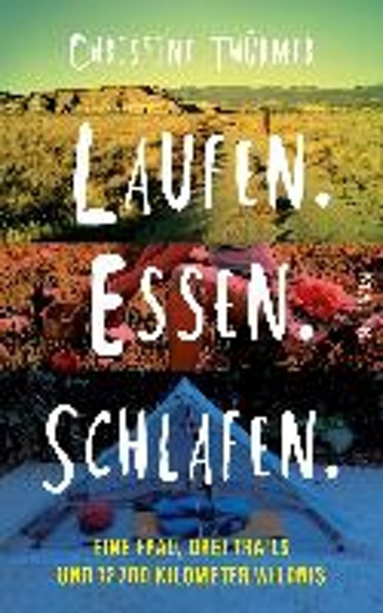
- Laufen. Essen. Schlafen.
- Als Christine Th rmer gek ndigt wird, beschlie t sie, sich eine Auszeit zu nehmen und auf dem Pacific Crest Trail von Mexiko nach Kanada zu wandern 4277 Kilometer. Eigentlich unsportlich, bricht sie zu ihrem Abenteuer auf und schafft es tats chlich bis ans Ziel. Und sie geht weiter, l uft den Continental Divide Trail und den Appalachian... Read more
- Also available from:
- Bol.com, Belgium
Bol.com
Belgium
Belgium
- Laufen. Essen. Schlafen.
- Als Christine Th rmer gek ndigt wird, beschlie t sie, sich eine Auszeit zu nehmen und auf dem Pacific Crest Trail von Mexiko nach Kanada zu wandern 4277 Kilometer. Eigentlich unsportlich, bricht sie zu ihrem Abenteuer auf und schafft es tats chlich bis ans Ziel. Und sie geht weiter, l uft den Continental Divide Trail und den Appalachian... Read more
Karten

- Also available from:
- De Zwerver, Netherlands
- Stanfords, United Kingdom
De Zwerver
Netherlands
Netherlands
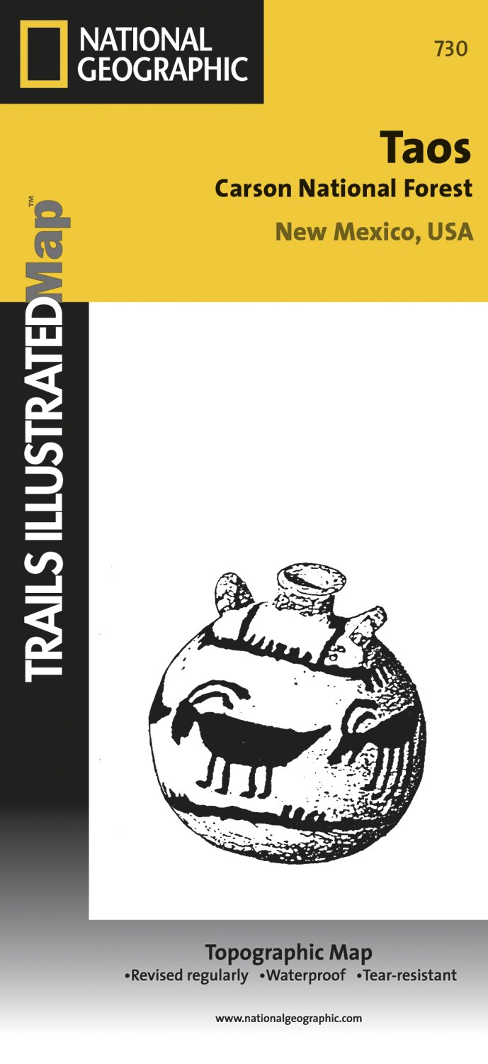
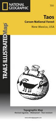
- Wandelkaart - Topografische kaart 730 Taos Carson National Forest | National Geographic
- Map No. 730, Taos Area of New Mexico, at 1:40,680 in an extensive series of GPS compatible, contoured hiking maps of USA Read more
Stanfords
United Kingdom
United Kingdom
- Taos Area NM
- Map No. 730, Taos Area of New Mexico, at 1:40,680 in an extensive series of GPS compatible, contoured hiking maps of USA’s national and state parks or forests and other popular recreational areas. Cartography based on the national topographic survey, with additional tourist information.The maps, with most titles now printed on light, waterproof... Read more


Stanfords
United Kingdom
United Kingdom
- New Mexico Benchmark Road & Recreation Atlas
- New Mexico at 1:400,000 in a series of excellent, detailed, GPS compatible state atlases from Benchmark Maps with extensive information on diverse recreational opportunities and facilities. The main section of the atlas, the Landscape Maps, presents the whole state on 56 pages of detailed mapping at 1:285,000. The Recreational Section is... Read more

De Zwerver
Netherlands
Netherlands
- Wandelkaart - Topografische kaart 314 Many Glacier - Glacier and Waterton Lakes National Parks | National Geographic
- Prachtige geplastificeerde kaart van het bekende nationaal park. Met alle recreatieve voorzieningen als campsites, maar ook met topografische details en wandelroutes ed. Door uitgekiend kleurgebruik zeer prettig in gebruik. Scheur en watervast! Located just north of Kalispell in Montana's northwest corner, Glacier National contains an... Read more
- Also available from:
- Stanfords, United Kingdom
- Bol.com, Netherlands
- Bol.com, Belgium

Stanfords
United Kingdom
United Kingdom
- Many Glacier - Glacier and Waterton Lakes National Parks MT
- Map No. 313, Glacier National Park: North Fork, MT, in an extensive series of GPS compatible, contoured hiking maps of USA’s national and state parks or forests and other popular recreational areas. Cartography based on the national topographic survey, with additional tourist information.The maps, with most titles now printed on light,... Read more

Bol.com
Netherlands
Netherlands
- Many Glacier, Glacier National Park
- Waterproof Tear-Resistant Topographic MapLocated just north of Kalispell in Montana's northwest corner, Glacier National contains an abundance of recreational opportunities for outdoor enthusiasts of all interests.This detailed topographic recreation map contains carefully researched trails, campsites, forest service roads, and... Read more
Bol.com
Belgium
Belgium
- Many Glacier, Glacier National Park
- Waterproof Tear-Resistant Topographic MapLocated just north of Kalispell in Montana's northwest corner, Glacier National contains an abundance of recreational opportunities for outdoor enthusiasts of all interests.This detailed topographic recreation map contains carefully researched trails, campsites, forest service roads, and... Read more

- Also available from:
- De Zwerver, Netherlands
- Stanfords, United Kingdom
- Bol.com, Netherlands
- Bol.com, Belgium

De Zwerver
Netherlands
Netherlands
- Wandelkaart - Topografische kaart 141 Telluride, Silverton, Ouray, Lake City | National Geographic
- Prachtige geplastificeerde kaart van het bekende nationaal park. Met alle recreatieve voorzieningen als campsites, maar ook met topografische details en wandelroutes ed. Door uitgekiend kleurgebruik zeer prettig in gebruik. Scheur en watervast! Beautiful waterproof and tear-resistant topographical hiking map of a well-loved National Park, with... Read more

Stanfords
United Kingdom
United Kingdom
- Telluride - Silverton - Ouray - Lake City CO
- Map No. 141, Telluride - Silverton - Ouray - Lake City, CO, in an extensive series of GPS compatible, contoured hiking maps of USA’s national and state parks or forests and other popular recreational areas. Cartography based on the national topographic survey, with additional tourist information.The maps, with most titles now printed on light,... Read more

Bol.com
Netherlands
Netherlands
- Telluride/silverton/ouray/lake City
- Waterproof Tear-Resistant Topographic MapExpertly researched and created in partnership with local land management agencies, National Geographic's Trails Illustrated map of Telluride, Silverton, Ouray, and Lake City provides an unparalleled tool for exploring this breathtaking region of Colorado. Whatever the season, you'll find this map... Read more
Bol.com
Belgium
Belgium
- Telluride/silverton/ouray/lake City
- Waterproof Tear-Resistant Topographic MapExpertly researched and created in partnership with local land management agencies, National Geographic's Trails Illustrated map of Telluride, Silverton, Ouray, and Lake City provides an unparalleled tool for exploring this breathtaking region of Colorado. Whatever the season, you'll find this map... Read more

De Zwerver
Netherlands
Netherlands
- Wandelkaart - Topografische kaart 215 Glacier - Waterton Lakes National Park | National Geographic
- Prachtige geplastificeerde kaart van het bekende nationaal park. Met alle recreatieve voorzieningen als campsites, maar ook met topografische details en wandelroutes ed. Door uitgekiend kleurgebruik zeer prettig in gebruik. Scheur en watervast! Waterton Lakes National Park, Canada includes Waterton Park, Upper and Middle Waterton Lakes, The... Read more
- Also available from:
- Stanfords, United Kingdom
- Bol.com, Netherlands
- Bol.com, Belgium

Stanfords
United Kingdom
United Kingdom
- Glacier - Waterton Lakes National Park MT
- Map No. 215, Glacier/Waterton Lakes National Park, MT, in an extensive series of GPS compatible, contoured hiking maps of USA’s national and state parks or forests and other popular recreational areas. Cartography based on the national topographic survey, with additional tourist information.The maps, with most titles now printed on light,... Read more

Bol.com
Netherlands
Netherlands
- Glacier/waterton Lakes National Parks
- Waterproof Tear-Resistant Topographic MapNational Geographic's Trails Illustrated map of Glacier and Waterton Lakes National Parks offers unparalleled detail for outdoor enthusiasts exploring the pristine landscape of forests, mountains, lakes, and meadows within these two spectacular parks. Created in partnership with local land... Read more
Bol.com
Belgium
Belgium
- Glacier/waterton Lakes National Parks
- Waterproof Tear-Resistant Topographic MapNational Geographic's Trails Illustrated map of Glacier and Waterton Lakes National Parks offers unparalleled detail for outdoor enthusiasts exploring the pristine landscape of forests, mountains, lakes, and meadows within these two spectacular parks. Created in partnership with local land... Read more