
New York
Beschreibung
New York state has quite a few long distance trails and some true wilderness expanses in the mountainous Adirondack Park, with its High Peaks Wilderness.
The Appalachian Trail runs for 94 miles through the state, not far from the city of New York. The North Country Trail has 520 miles in the state, starting in the Adirondack Park. The East Coast Greenway, Eastern Continental Trail and Great Eastern Trail all pass New York.
Interesting is the Finger Lakes Trail System in New York, 562 miles of hiking trails. The 133 mile Northville-Pacid trail (in the Adirondacks) is confined to this state. New Jersey and New York both have a part of the 326 mile Long Path. The Highlands Trail is under construction.
Karte

Wanderwege Landesteil
Links
Fakten
Berichte
Führer und Karten
Übernachtung
Organisationen
Reisebüros
GPS
Sonstiges
Bücher

The Book Depository
United Kingdom
2022
United Kingdom
2022
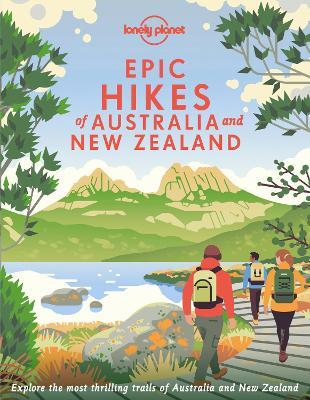
- Lonely Planet Epic Hikes of Australia & New Zealand
- Lace up your hiking boots for the next in Lonely Planet`s highly successful Epic Hikes series, this time exploring 50 of Australia and New Zealand`s most rewarding treks and trails. From the Routeburn Track in New Zealand`s South Island to the Cape to Cape walk in Western Australia`s Leeuwin-Naturaliste National Park, we cover a huge variety of... Read more
- Also available from:
- De Zwerver, Netherlands
- Stanfords, United Kingdom
De Zwerver
Netherlands
2022
Netherlands
2022
- Wandelgids Hikes of Australia and New Zealand | Lonely Planet
- Lace up your hiking boots for the next in Lonely Planet`s highly successful Epic Hikes series, this time exploring 50 of Australia and New Zealand`s most rewarding treks and trails. From the Routeburn Track in New Zealand`s South Island to the Cape to Cape walk in Western Australia`s Leeuwin-Naturaliste National Park, we cover a huge variety of... Read more

Stanfords
United Kingdom
2022
United Kingdom
2022
- Epic Hikes of Australia & New Zealand
- Lace up your hiking boots for the next in Lonely Planet`s highly successful Epic Hikes series, this time exploring 50 of Australia and New Zealand`s most rewarding treks and trails. From the Routeburn Track in New Zealand`s South Island to the Cape to Cape walk in Western Australia`s Leeuwin-Naturaliste National Park, we cover a huge variety of... Read more

The Book Depository
United Kingdom
2019
United Kingdom
2019
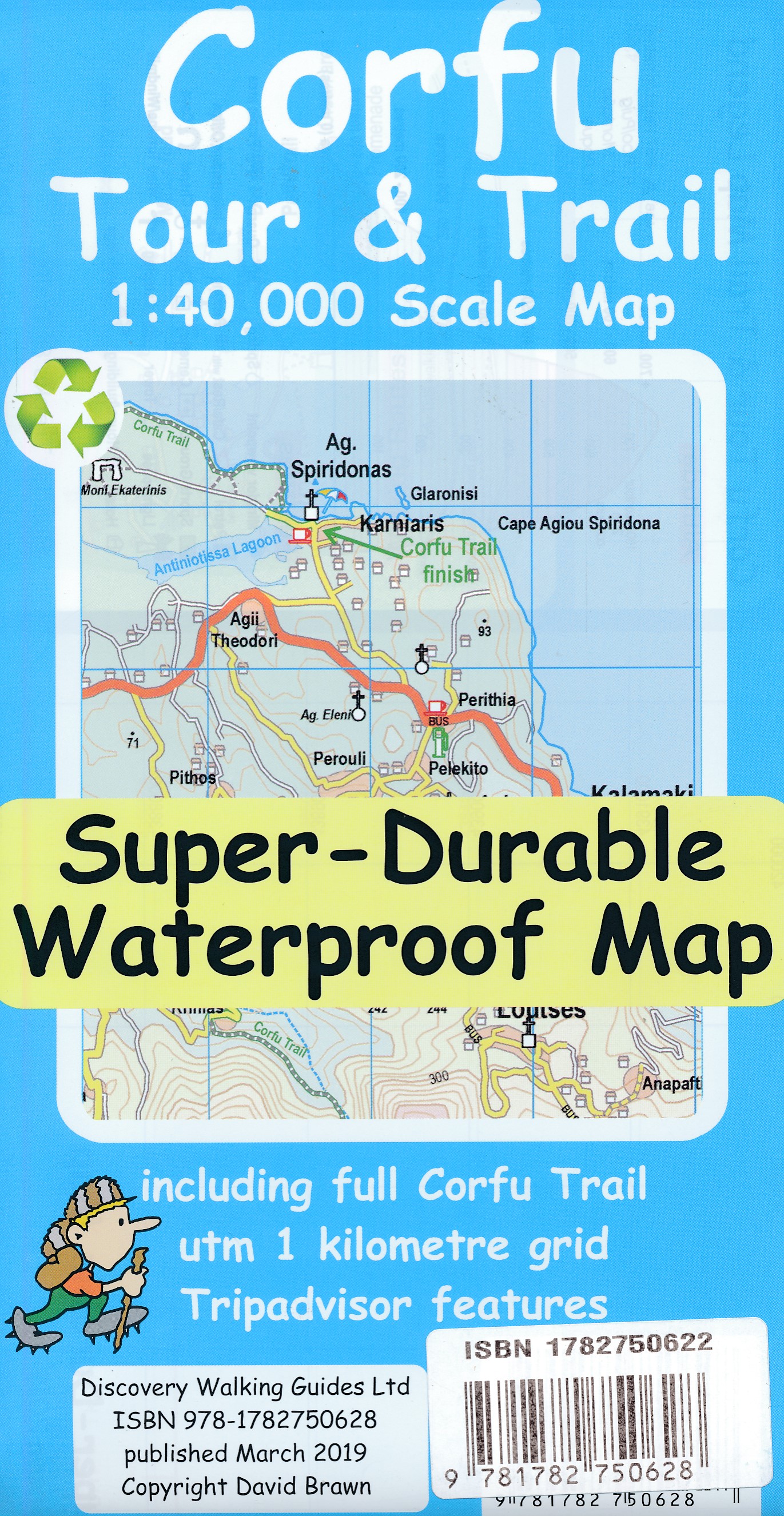
- Corfu Tour & Trail Super-Durable Map
- For better adventures, use the best map. Corfu Tour & Trail Super-Durable Map is the most detailed, accurate, toughest, large scale map of the island that you can buy. Our large 1:40,000 scale produces a double sided map sheet of 840mm by 680mm; big enough to show masses of detail but compact enough to use in the car or on the trail. Corfu... Read more
- Also available from:
- De Zwerver, Netherlands
De Zwerver
Netherlands
2019
Netherlands
2019
- Wandelkaart Tour & Trail Corfu - Korfoe | Discovery Walking Guides
- For better adventures, use the best map. Corfu Tour & Trail Super-Durable Map is the most detailed, accurate, toughest, large scale map of the island that you can buy. Our large 1:40,000 scale produces a double sided map sheet of 840mm by 680mm; big enough to show masses of detail but compact enough to use in the car or on the trail. Corfu... Read more

The Book Depository
United Kingdom
United Kingdom
- Brother Blood on the Appalachian Trail
- Thru & Through: An Appalachian Trail Journey Read more

The Book Depository
United Kingdom
United Kingdom
- Rail-Trails New Jersey & New York
- The definitive guide to the region's top multiuse trails Read more

The Book Depository
United Kingdom
United Kingdom
- London's Waterside Walks
- 21 Walks Along the City's Most Interesting Rivers, Canals & Docks Read more
- Also available from:
- Stanfords, United Kingdom

Stanfords
United Kingdom
United Kingdom
- London`s Waterside Walks: 21 Walks Along the City`s Most Interesting Rivers, Canals & Docks
- Many people are familiar with London`s River Thames, but the city has much more to offer when it comes to waterways, including a wealth of canals, minor rivers (most are tributaries of the Thames), lakes and reservoirs that offer tranquil and beautiful walks. Many waterways have dedicated walking and cycling paths alongside them, notably the... Read more


The Book Depository
United Kingdom
United Kingdom
- Peak District Year Round Walks
- There just isn`t a bad time to walk in the Peak District, each season offers something new. The twenty circular walks in this book vary in length from 2 to 8 miles and are enjoyable all year round. The author has divided the routes into seasons to show each at its very best. In spring, the fields around Monyash are golden with cowslips and the... Read more
- Also available from:
- Stanfords, United Kingdom

Stanfords
United Kingdom
United Kingdom
- Peak District Year Round Walks
- There just isn`t a bad time to walk in the Peak District, each season offers something new. The twenty circular walks in this book vary in length from 2 to 8 miles and are enjoyable all year round. The author has divided the routes into seasons to show each at its very best. In spring, the fields around Monyash are golden with cowslips and the... Read more

The Book Depository
United Kingdom
United Kingdom
- A Child's Walk in the Wilderness
- An 8-Year-Old Boy and His Father Take on the Appalachian Trail Read more

The Book Depository
United Kingdom
United Kingdom
- Explorer's Guide 50 Hikes in Central New York
- Hikes and Backpacking Trips from the Western Adirondacks to the Finger Lakes Read more

The Book Depository
United Kingdom
United Kingdom
- Moon Rome Walks (Second Edition)
- Experience Rome like a local: on foot! Enjoy a passeggiata through the vibrant streets and cobblestone alleyways of the Eternal City, an ancient capital bustling with modern life. Inside you`ll find:Six customisable walks through the city`s hippest neighbourhoods, including Prati, Trastevere, Monti, and more, with colour-coded stops and... Read more

The Book Depository
United Kingdom
United Kingdom
- Walks in Nature's Empire
- Exploring The Nature Conservancy's Preserves in New York State Read more

The Book Depository
United Kingdom
United Kingdom
- London's Secret Walks
- 25 Walks Around London's Most Historic Districts Read more
- Also available from:
- Stanfords, United Kingdom

Stanfords
United Kingdom
United Kingdom
- London`s Secret Walks: 25 Walks Around London`s Most Historic Districts
- London is a great city for walking - whether for pleasure, exercise or simply to get from A to B. Despite the city`s extensive public transport system, walking is also often the quickest and most enjoyable way to get around - at least in the centre - and it`s also free and healthy!London has a somewhat haphazard street pattern (to put it... Read more

- Also available from:
- De Zwerver, Netherlands
- Stanfords, United Kingdom
De Zwerver
Netherlands
2019
Netherlands
2019

Stanfords
United Kingdom
2019
United Kingdom
2019
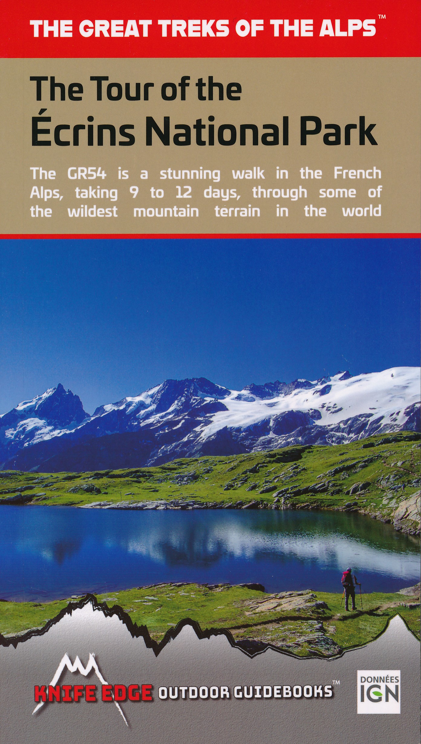
- The Tour of the Ecrins National Park: GR54
- The complete guidebook for the Tour of the Ecrins National Park (GR54) in the French Alps. The only guidebook with Real 1:25,000 Maps: proper mapping included for each stage. This makes navigation easy and saves you money: no need to buy additional maps. Also includes: -Unique Itinerary Planner: plan a bespoke itinerary to match your ability... Read more

- Also available from:
- De Zwerver, Netherlands
- Stanfords, United Kingdom
De Zwerver
Netherlands
2017
Netherlands
2017
- Wandelgids Islay, Jura and Colonsay | Pocket Mountains
- 40 Coast and Country Walks Read more

Stanfords
United Kingdom
2017
United Kingdom
2017
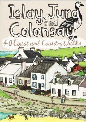
- Islay, Jura and Colonsay: 40 Coast and Country Walks
- Islay, Jura and Colonsay make up the southerly Hebridean island group and are famed for their outstanding wildlife, glorious sandy beaches, fascinating historical treasures, rugged hills and dramatic coastlines, and on Jura, but especially on Islay - legendary distilleries which produce distinctively peaty whisky. This book aims to help you get... Read more

The Book Depository
United Kingdom
United Kingdom
- Thinking on My Feet
- The small joy of putting one foot in front of another Read more
- Also available from:
- Stanfords, United Kingdom

Stanfords
United Kingdom
United Kingdom
- Thinking on My Feet: The small joy of putting one foot in front of another
- Shortlisted for the 2019 Edward Stanford Travel Writing Award`s Travel Memoir of the Year`A beautiful and magnificent book. A paean to a simple act. I defy you to read this book and not be inspired to walk, march or hike - and as a result live a better life more connected with nature and the world around you.` - Simon Reeve`A lovely book,... Read more
Karten

- Also available from:
- De Zwerver, Netherlands
- Stanfords, United Kingdom


Stanfords
United Kingdom
United Kingdom
- Glocknergruppe - Matrei - Kals - Heiligenblut Tabacco 076
- This Tabacco topographic map at 1:25,000 (1cm = 250m) covers the Alta Via routes, as well as the Via Ferrata where you get further than the ordinary walker with the help of steel ladders. Additional information includes: symbols to indicate 6 different types of accommodation from mountain hut, hotel to camping site. As well as information on... Read more

The Book Depository
United Kingdom
2018
United Kingdom
2018
- Ben Nevis and Glen Coe
- Waterproof mountain map of Ben Nevis & Glen Coe from Harvey at 1:40,000, with a geological map of the region on the reverse, an enlargement of Ben Nevis' summit, and advice on navigating the region safely.MAIN MAP: Topography is shown through clear altitude shading, spot heights, contours at 15m intervals, and index contours at 75m intervals. A... Read more
- Also available from:
- De Zwerver, Netherlands
- Stanfords, United Kingdom

De Zwerver
Netherlands
2018
Netherlands
2018
- Wandelkaart Ben Nevis & Glen Coe | Harvey Maps
- Waterproof mountain map of Ben Nevis & Glen Coe from Harvey at 1:40,000, with a geological map of the region on the reverse, an enlargement of Ben Nevis' summit, and advice on navigating the region safely.MAIN MAP: Topography is shown through clear altitude shading, spot heights, contours at 15m intervals, and index contours at 75m intervals. A... Read more

Stanfords
United Kingdom
2018
United Kingdom
2018
- Ben Nevis & Glen Coe Harvey British Mountain Map XT40
- Waterproof mountain map of Ben Nevis & Glen Coe from Harvey at 1:40,000, with a geological map of the region on the reverse, an enlargement of Ben Nevis` summit, and advice on navigating the region safely.*MAIN MAP:* Topography is shown through clear altitude shading, spot heights, contours at 15m intervals, and index contours at 75m intervals.... Read more

- Also available from:
- Stanfords, United Kingdom

Stanfords
United Kingdom
United Kingdom
- Shawangunk Mountains NY NGS Trails Illustrated Map 750
- Map No. 750, Shawangunk Mountains in New York State at 1:50,000, part of an extensive series of GPS compatible, contoured hiking maps of USA’s national and state parks or forests and other popular recreational areas. Cartography, based on the national topographic survey, has extensive additional tourist information.The maps, printed on light,... Read more

De Zwerver
Netherlands
2019
Netherlands
2019
- Reisgids Iceland Road Guide | Vegahandbokin
- Iceland Road Guide from Vegahandbókin, an exceptionally comprehensive, 605-page guide with region-by-region descriptions of sites accompanied by road maps and street plans, plus a separate road atlas section covering the whole country at 1:500,000 and information on a wide variety of tourism relating topics to help the user get the best of... Read more
- Also available from:
- Stanfords, United Kingdom

Stanfords
United Kingdom
2019
United Kingdom
2019
- Iceland Road Guide
- Iceland Road Guide from Vegahandbókin, an exceptionally comprehensive, 605-page guide with region-by-region descriptions of sites accompanied by road maps and street plans, plus a separate road atlas section covering the whole country at 1:500,000 and information on a wide variety of tourism relating topics to help the user get the best of... Read more
De Zwerver
Netherlands
Netherlands
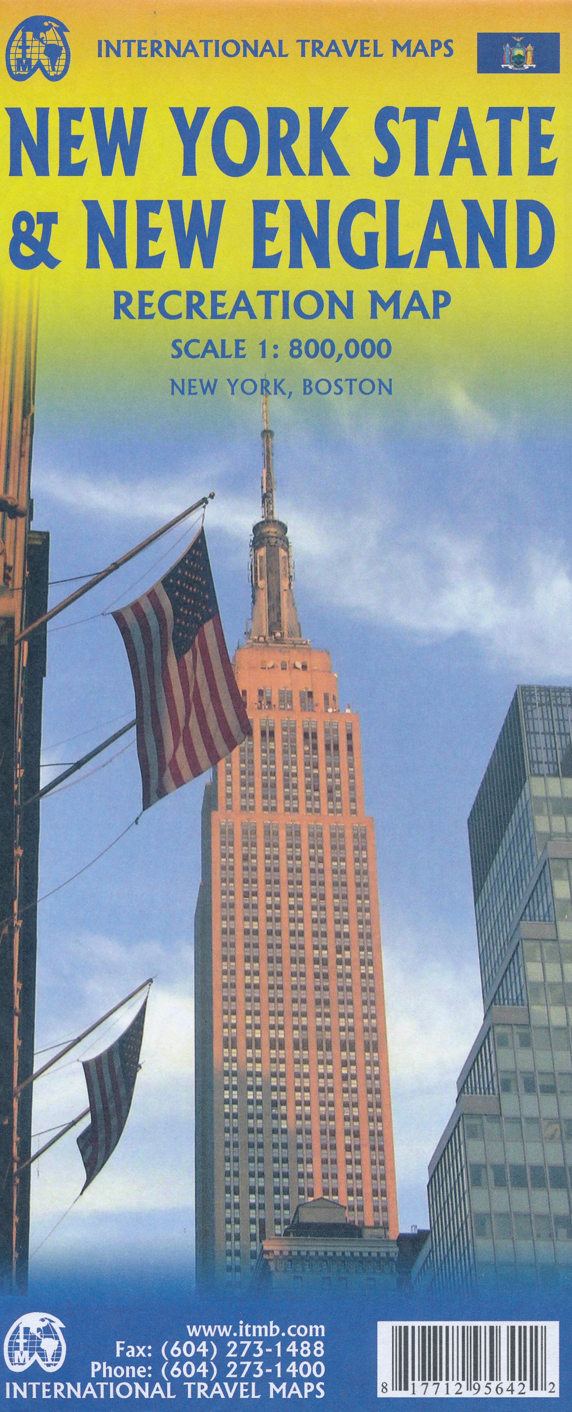
- Wegenkaart - landkaart New England and New York State | ITMB
- New York State & New England ab 10.49 EURO Landkarte, doppelseitig Plan New York City, Boston, Boston Region International Travel Map ITM. 1. Auflage Read more
De Zwerver
Netherlands
Netherlands
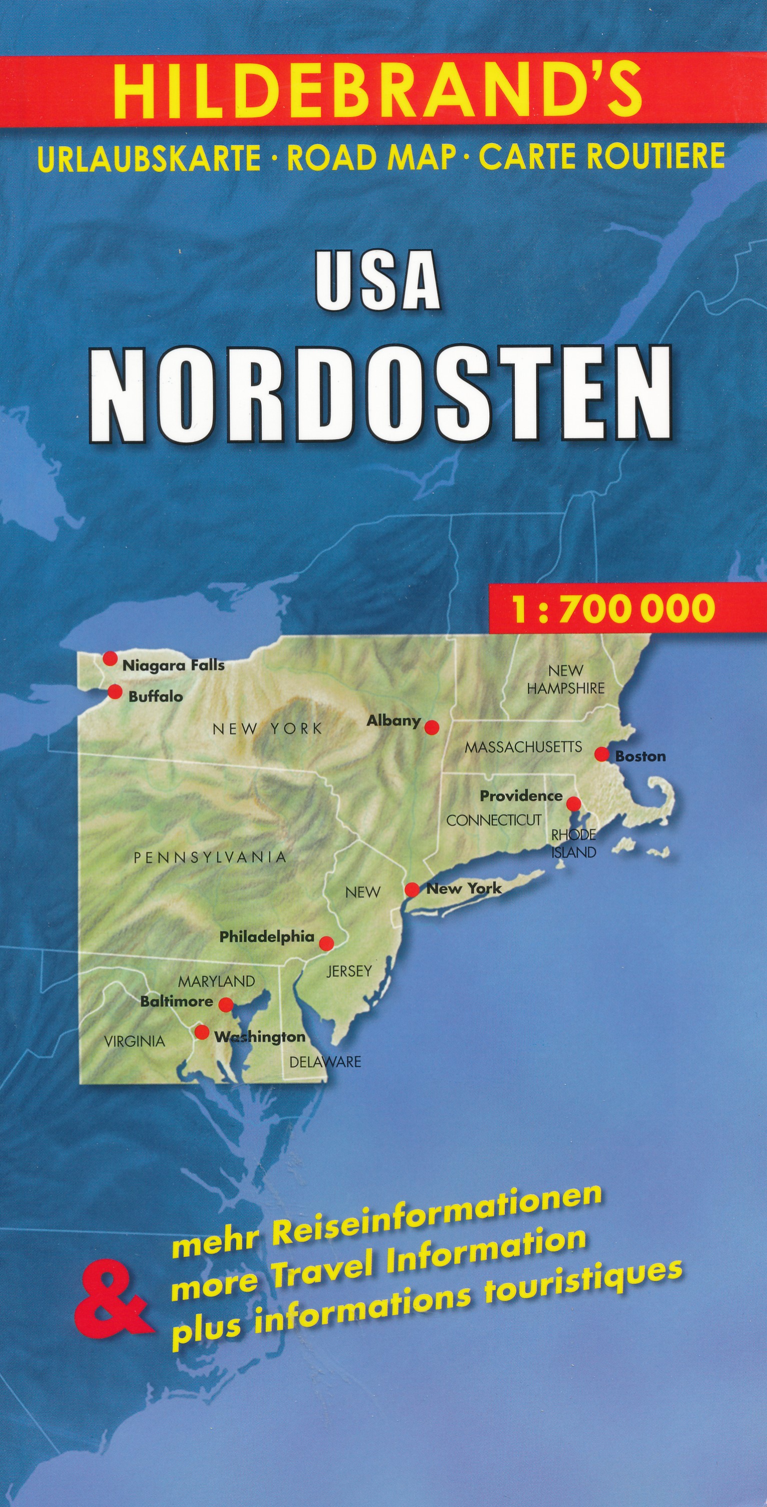
- Wegenkaart - landkaart USA Northeast - USA Noordoost | Hildebrand's
- USA Nordosten 1 : 700 000. Hildebrand´s Urlaubskarte ab 7.95 EURO Umgebungskarten: Boston, New York, Washington - Baltimore. Stadtpläne: Boston, New York/Manhattan, Philadelphia, Baltimore, Washington, Buffalo, Niagara Falls, Pittsburgh. Ortsregister Hildebrand´s Urlaubskarte. Neuauflage, Laufzeit bis 2016 Read more
De Zwerver
Netherlands
Netherlands
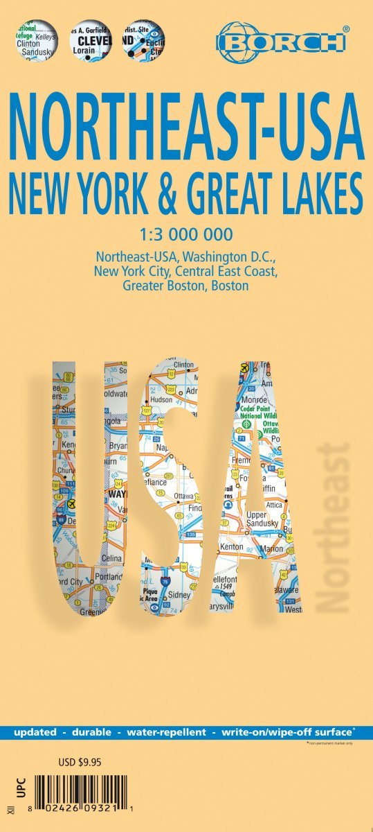
- Wegenkaart - landkaart Noordoost USA - Northeast USA | Borch
- Northeast-USA 5. New York & the Great Lakes 1 : 3 000 000 + City Maps ab 9.9 EURO Washington DC, New York City, Central East Coast, Greater Boston, Boston Borch Map. 13. Auflage Read more

Stanfords
United Kingdom
United Kingdom
- Damodar Kunda
- Damodar Kunda, sheet no. 2984-13, in the topographic survey of Nepal at 1:50,000 published by the Nepali Government in the late 1990s and early 2000s and produced from remote sensing data by Finnish cartographers as part of that country’s international aid program. The maps cover 15’ x 15’ quadrangles.IMPORTANT – PLEASE NOTE BEFORE ORDERING:... Read more
Stanfords
United Kingdom
United Kingdom
- Sabha Khola - Chainpur
- Sabha Khola - Chainpur, sheet no. 2787-10, in the topographic survey of Nepal at 1:50,000 published by the Nepali Government in the late 1990s and early 2000s and produced from remote sensing data by Finnish cartographers as part of that country’s international aid program. The maps cover 15’ x 15’ quadrangles.IMPORTANT – PLEASE NOTE BEFORE... Read more

Stanfords
United Kingdom
United Kingdom
- Europe High 5 Edition Camping Atlas
- The first physical atlas with direct access to useful additional information from the InternetThe entirety of Europe on 432 pages in a scale of 1:800,000 clearly presented, including lots more travel information:- Road Companion (roadmaps) in a scale of 1:800,000, inclusive of the High 5 - Edition app technology for calling up additional travel... Read more
Stanfords
United Kingdom
United Kingdom
- Chala Bhanjyan
- Chala Bhanjyan, sheet no. 2983-06, in the topographic survey of Nepal at 1:50,000 published by the Nepali Government in the late 1990s and early 2000s and produced from remote sensing data by Finnish cartographers as part of that country’s international aid program. The maps cover 15’ x 15’ quadrangles.IMPORTANT – PLEASE NOTE BEFORE ORDERING:... Read more
Stanfords
United Kingdom
United Kingdom
- Likhu Khola - Those
- Likhu Khola - Those, sheet no. 2786-06, in the topographic survey of Nepal at 1:50,000 published by the Nepali Government in the late 1990s and early 2000s and produced from remote sensing data by Finnish cartographers as part of that country’s international aid program. The maps cover 15’ x 15’ quadrangles.IMPORTANT – PLEASE NOTE BEFORE... Read more
Stanfords
United Kingdom
United Kingdom
- Talkot
- Talkot, sheet no. 2981-06, in the topographic survey of Nepal at 1:50,000 published by the Nepali Government in the late 1990s and early 2000s and produced from remote sensing data by Finnish cartographers as part of that country’s international aid program. The maps cover 15’ x 15’ quadrangles.IMPORTANT – PLEASE NOTE BEFORE ORDERING:... Read more
Stanfords
United Kingdom
United Kingdom
- Dunai
- Dunai, sheet no. 2882-04, in the topographic survey of Nepal at 1:50,000 published by the Nepali Government in the late 1990s and early 2000s and produced from remote sensing data by Finnish cartographers as part of that country’s international aid program. The maps cover 15’ x 15’ quadrangles.IMPORTANT – PLEASE NOTE BEFORE ORDERING:... Read more