The Book Depository
United Kingdom
2021
» Click to open
» Click to close
The Book Depository
United Kingdom
2015
» Click to open
Stanfords
United Kingdom
2015
  • South Pembrokeshire OS Explorer Map OL36 (paper)
  • The southern coast of Pembrokeshire on a detailed topographic and GPS compatible map OL36, paper version, from the Ordnance Survey’s 1:25,000 Explorer series. Coverage includes Pembrokeshire Coast National Park, Haverforwest, Milford haven, Arberth, Tenby, Pembroke, Skomer Island, Caldey Island, the Pembrokeshire Coast Path National Trail which... Read more
» Click to close
The Book Depository
United Kingdom
» Click to open
Stanfords
United Kingdom
  • Cardigan & Mynydd Preseli OS Landranger Map 145 (paper)
  • The coast of Wales between Dinas Head and New Quay, including Cardigan and the northern part of the Pembrokeshire Coast National Park, on a paper version of map No. 145 from the Ordnance Survey’s Landranger series at 1:50,000, with contoured and GPS compatible topographic mapping plus tourist information.MOBILE DOWNLOADS: As well as the... Read more
» Click to close
The Book Depository
United Kingdom
2017
» Click to open
De Zwerver
Netherlands
2017
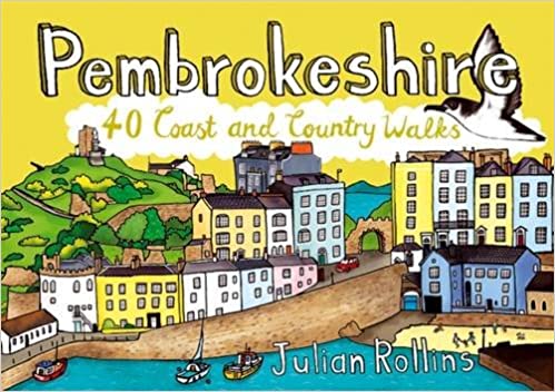
  • Wandelgids Pembrokeshire : 40 Coast and Country Walks | Pocket Mountains
  • As the home of Britain`s one and only national coastal park, Pembrokeshire is rightly famed for its marine wildlife, unspoilt beaches, towering cliffs and charming harbours. Inland, however, you will also find ancient woodlands and rolling hills, as well as archaeological mysteries and crumbling castles which suggest that this peaceful part of... Read more
Stanfords
United Kingdom
2017
  • Pembrokeshire: 40 Coast and Country Walks
  • As the home of Britain`s one and only national coastal park, Pembrokeshire is rightly famed for its marine wildlife, unspoilt beaches, towering cliffs and charming harbours. Inland, however, you will also find ancient woodlands and rolling hills, as well as archaeological mysteries and crumbling castles which suggest that this peaceful part of... Read more
» Click to close
The Book Depository
United Kingdom
2021
» Click to open
Stanfords
United Kingdom
2021
  • South Pembrokeshire OS Explorer Active Map OL36 (waterproof)
  • The southern coast of Pembrokeshire on a detailed topographic and GPS compatible map OL36, waterproof version, from the Ordnance Survey’s 1:25,000 Explorer series. Coverage includes Pembrokeshire Coast National Park, Haverforwest, Milford haven, Arberth, Tenby, Pembroke, Skomer Island, Caldey Island, the Pembrokeshire Coast Path National Trail... Read more
» Click to close
The Book Depository
United Kingdom
2018
» Click to open
Stanfords
United Kingdom
2018
» Click to close
The Book Depository
United Kingdom
» Click to open
Stanfords
United Kingdom
  • Carmarthen Bay & Gower: Circular Walks Along the Wales Coast Path
  • One of a series of ten books in the new Top 10 Walks: Wales Coast Path series. Handy, pocket-sized, full colour walking guides written by experts.. Each volume outlines the most popular circular walks along key sections of the coast path, with clear information, an overview and introduction for each walk, expertly written numbered directions,... Read more
» Click to close
The Book Depository
United Kingdom
2020
» Click to open
» Click to close
The Book Depository
United Kingdom
» Click to open
Stanfords
United Kingdom
  • St David`s & Haverfordwest OS Landranger Map 157 (paper)
  • Pembrokeshire Coast National Park between Pembroke in the south and Fishguard in the north including St Davids, and with coverage extending inland beyond Haverfordwest, on a paper version of map No. 157 from the Ordnance Survey’s Landranger series at 1:50,000, with contoured and GPS compatible topographic mapping plus tourist information.MOBILE... Read more
» Click to close
The Book Depository
United Kingdom
2019
» Click to open
De Zwerver
Netherlands
2019
» Click to close
The Book Depository
United Kingdom
» Click to open
Stanfords
United Kingdom
  • Railway Walks Wales
  • Jeff Vinter, Consultant to the BBC`s ”Railway Walks” series, provides comprehensive details of every disused railway line in Wales that is now a public walk or cycle trail. He covers everything from the earliest tram-roads to recently closed colliery lines - all set against the magnificent backdrop of the Welsh landscape and offering an insight... Read more
» Click to close
The Book Depository
United Kingdom
The Book Depository
United Kingdom
2018
» Click to open
De Zwerver
Netherlands
2018
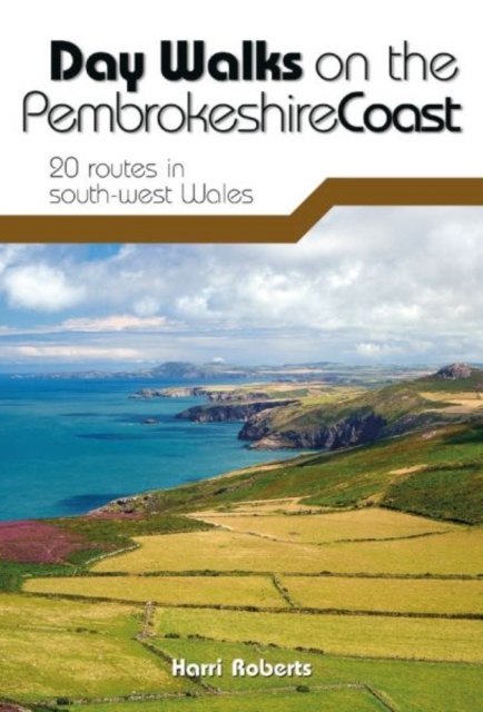
  • Wandelgids Day Walks on the Pembrokeshire Coast | Vertebrate Publishing
  • Day Walks on the Pembrokeshire Coast features 20 classic coastal routes between 6.5 miles and 13 miles (10.4km and 20.8km) in length, suitable for hillwalkers of all abilities. Local author and walker Harri Roberts shares his favourite walks in the national park, including a meander along Bosherston Lily Ponds - a series of interconnected... Read more
Stanfords
United Kingdom
2018
  • Day Walks on the Pembrokeshire Coast: 20 routes in south-west Wales
  • Day Walks on the Pembrokeshire Coast features 20 classic coastal routes between 6.5 miles and 13 miles (10.4km and 20.8km) in length, suitable for hillwalkers of all abilities. Local author and walker Harri Roberts shares his favourite walks in the national park, including a meander along Bosherston Lily Ponds - a series of interconnected... Read more
» Click to close
The Book Depository
United Kingdom
» Click to open
Stanfords
United Kingdom
  • Tenby & Pembroke OS Landranger Map 158 (paper)
  • Southern coast of Wales between Pentywyn, Tenby and Pembroke, including part of the Pembrokeshire Coast National Park, on a paper version of map No. 158 from the Ordnance Survey’s Landranger series at 1:50,000, with contoured and GPS compatible topographic mapping plus tourist information.MOBILE DOWNLOADS: As well as the physical edition of the... Read more
» Click to close
The Book Depository
United Kingdom
2021
» Click to open
Stanfords
United Kingdom
2021
  • Epic British Walks
  • OS Epic British Walks allows the reader to take their walking dreams one step further with this inspiring introduction to distance walking and with thirty-eight amazing trails of immense diversity, each graded by difficulty, there are routes for first-time hikers as well as for the super-fit, seasoned multi-day rambler.This is the perfect book... Read more
» Click to close