The Book Depository
United Kingdom
2016
» Click to open
De Zwerver
Netherlands
2016
Stanfords
United Kingdom
2016
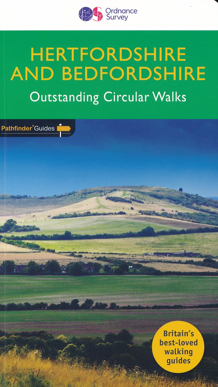
  • Hertfordshire & Bedfordshire
  • Both counties tend to be underrated by walkers, often overlooked in favour of the delights of the Thames Valley or the hillier Chiltern country of Buckinghamshire. But they do possess much fine walking country, with a diversity of terrain, gentle hilly regions, lots of pleasant woodland, attractive riverside landscapes and an impressive... Read more
» Click to close
The Book Depository
United Kingdom
» Click to open
Stanfords
United Kingdom
» Click to close
The Book Depository
United Kingdom
» Click to open
Stanfords
United Kingdom
  • Colchester, Halstead & Maldon OS Landranger Map 168 (paper)
  • Colchester, Halstead and Maldon area, including part of the E2 European Long-distance Path, on a paper version of map No. 168 from the Ordnance Survey’s Landranger series at 1:50,000, with contoured and GPS compatible topographic mapping plus tourist information.MOBILE DOWNLOADS: As well as the physical edition of the map, each Landranger title... Read more
» Click to close
The Book Depository
United Kingdom
» Click to open
Stanfords
United Kingdom
  • Colchester, Halstead & Maldon OS Landranger Active Map 168 (waterproof)
  • Colchester, Halstead and Maldon area, including part of the E2 European Long-distance Path, on a waterproof and tear-resistant OS Active version of map No. 168 from the Ordnance Survey’s Landranger series at 1:50,000, with contoured and GPS compatible topographic mapping plus tourist information.MOBILE DOWNLOADS: As well as the physical edition... Read more
» Click to close
The Book Depository
United Kingdom
The Book Depository
United Kingdom
2015
» Click to open
Stanfords
United Kingdom
2015
  • Windsor - Weybridge & Bracknell OS Explorer Map 160 (paper)
  • Windsor, Weybridge and Bracknell area on a detailed topographic and GPS compatible map No. 160, paper version, from the Ordnance Survey’s 1:25,000 Explorer series. MOBILE DOWNLOADS: this title and all the other OS Explorer maps include a code for downloading after purchase the digital version onto your smartphone or tablet for viewing on the OS... Read more
» Click to close
The Book Depository
United Kingdom
» Click to open
Stanfords
United Kingdom
» Click to close
The Book Depository
United Kingdom
» Click to open
Stanfords
United Kingdom
» Click to close
The Book Depository
United Kingdom
» Click to open
Stanfords
United Kingdom
  • Dorking, Reigate, Crawley & Horsham OS Landranger Map 187 (paper)
  • Dorking and Reigate area, including a section of the North Downs Way / E2 European Long-distance Path, on a paper version of map No. 187 from the Ordnance Survey’s Landranger series at 1:50,000, with contoured and GPS compatible topographic mapping plus tourist information.MOBILE DOWNLOADS: As well as the physical edition of the map, each... Read more
» Click to close
The Book Depository
United Kingdom
» Click to open
Stanfords
United Kingdom
  • Thames Estuary, Rochester & Southend-on-Sea OS Landranger Map 178 (paper)
  • Thames Estuary with Rochester and Southend-on-Sea, including a section of the North Downs Way / E2 European Long-Distance Path, on a paper version of map No. 178 from the Ordnance Survey’s Landranger series at 1:50,000, with contoured and GPS compatible topographic mapping plus tourist information.MOBILE DOWNLOADS: As well as the physical... Read more
» Click to close
The Book Depository
United Kingdom
» Click to open
Stanfords
United Kingdom
  • Peterborough, Market Deeping & Chatteris OS Landranger Map 142 (paper)
  • The area around Peterborough, Market Deeping and Chatteris, including the Fens of the North and Middle Levels with part of the E2 European Long-distance Path, on a paper version of map No. 142 from the Ordnance Survey’s Landranger series at 1:50,000, with contoured and GPS compatible topographic mapping plus tourist information.MOBILE... Read more
» Click to close
The Book Depository
United Kingdom
2015
» Click to open
Stanfords
United Kingdom
2015
  • Reading, Wokingham & Pangbourne OS Explorer Map 159 (paper)
  • Reading, Wokingham and Pangbourne area on a detailed topographic and GPS compatible map No. 159, paper version, from the Ordnance Survey’s 1:25,000 Explorer series.MOBILE DOWNLOADS: this title and all the other OS Explorer maps include a code for downloading after purchase the digital version onto your smartphone or tablet for viewing on the OS... Read more
» Click to close
The Book Depository
United Kingdom
» Click to open
Stanfords
United Kingdom
» Click to close
The Book Depository
United Kingdom
» Click to open
Stanfords
United Kingdom
» Click to close
The Book Depository
United Kingdom
2018
» Click to open
De Zwerver
Netherlands
2018
» Click to close