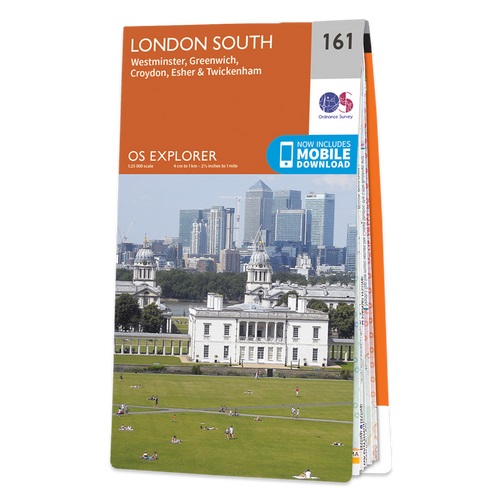
London South: Westminster, Greenwich, Croydon, Esher and Twickenham area on a detailed topographic and GPS compatible map No. 161, paper version, from the Ordnance Survey’s 1:25,000 Explorer series. MOBILE DOWNLOADS: this title and all the other OS Explorer maps include a code for downloading after purchase the digital version onto your...Read more
For anyone who enjoyed the Harry Potter films, a map/guide with three walks taking in all the best central London locations from these films. Each walk is presented on a schematic plan showing the relevant streets annotated with markers cross-referencing the route to the accompanying descriptions which cover not just the Harry Potter locations...Read more
”London Stories” is written by the expert guides who also produce the “London Walks” series, and their knowledgeable stamp can be seen throughout this wonderful book.It will take you on at trek through London’s rich history and is a great way to discover hidden gems: explore London’s literary life, from Shakespeare to Dickens; tread cautiously...Read more
Swindon - Devizes area, including the westernmost section of the Ridgeway and part of the Thames Path, on a waterproof and tear-resistant OS Active version of map No. 173 from the Ordnance Survey’s Landranger series at 1:50,000, with contoured and GPS compatible topographic mapping plus tourist information.MOBILE DOWNLOADS: As well as the...Read more
The streets of London are inexhaustible in their tales they have to tell.Following the success of Stephen Millar’s first three volumes, London’sHidden Walks Vol.4 introduces twelve new walks that will surprise andentertain the intrepid explorer.With this book in hand, readers can find the ruins of a church thatShakespeare would have visited,...Read more
The area around Peterborough, Market Deeping and Chatteris, including the Fens of the North and Middle Levels with part of the E2 European Long-distance Path, on a paper version of map No. 142 from the Ordnance Survey’s Landranger series at 1:50,000, with contoured and GPS compatible topographic mapping plus tourist information.MOBILE...Read more
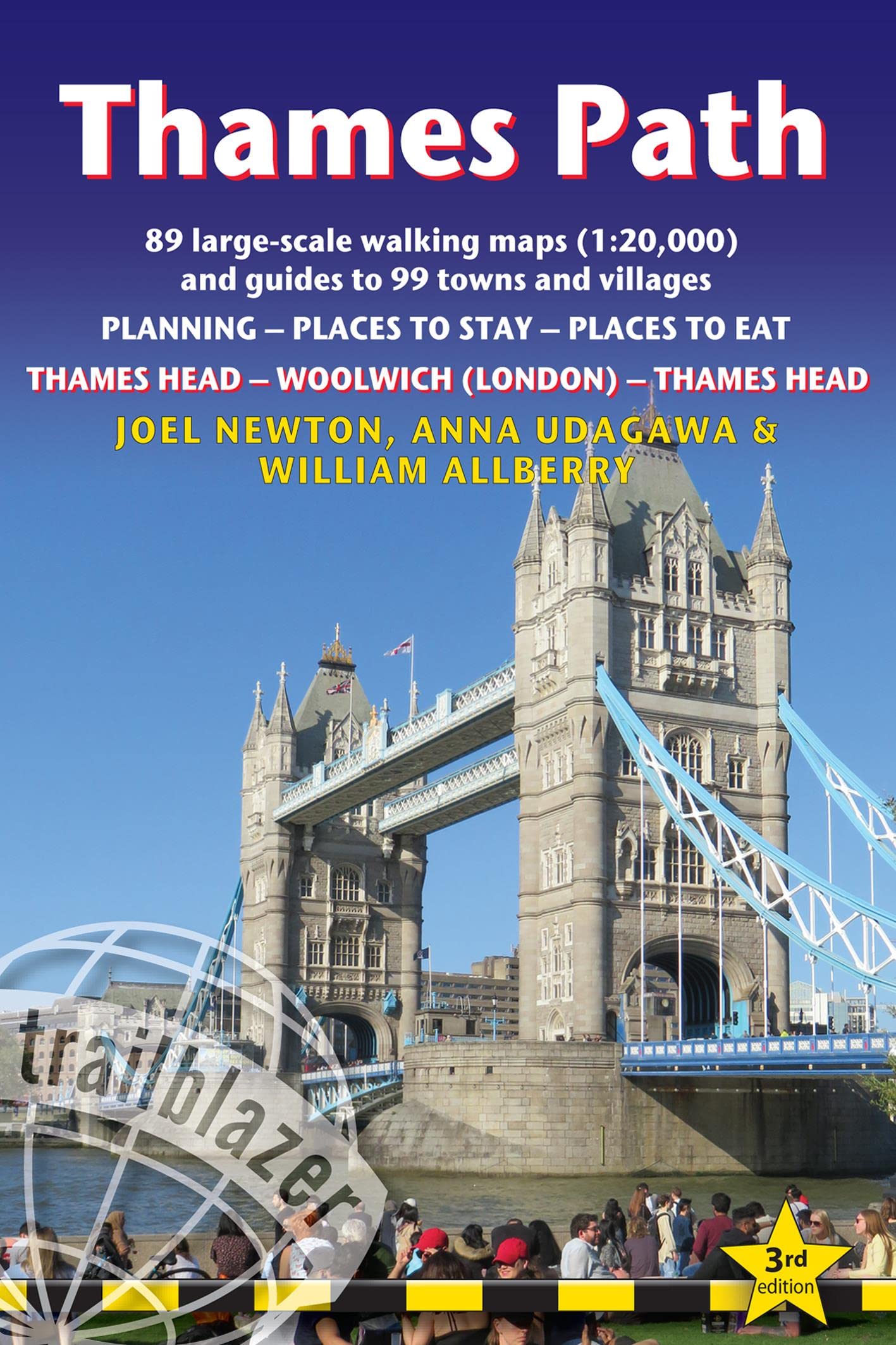
Thames Head to Woolwich (London) & London to Thames Head: 89 Large-Scale Walking Maps & Guides to 99 Towns & Villages: Planning, Places to Stay, Places to EatRead more
Thames Head to Woolwich (London) & London to Thames Head: 89 Large-Scale Walking Maps & Guides to 99 Towns & Villages: Planning, Places to Stay, Places to EatRead more
London is a great city for walking - whether for pleasure, exercise or simply to get from A to B. Despite the city`s extensive public transport system, walking is also often the quickest and most enjoyable way to get around - at least in the centre - and it`s also free and healthy!London has a somewhat haphazard street pattern (to put it...Read more
The Cheviot Hills on a detailed topographic and GPS compatible map OL16, paper version, from the Ordnance Survey’s 1:25,000 Explorer series. Coverage includes Jedburgh, Woolmer, part of the Northumberland National Park, the peaks of The Cheviot, Corby Pike, Cold Law, Scrathy Holes and Windy Gyle, Catcleugh Reservoir, sections of the Pennine Way...Read more
Cheltenham and Cirencester area, including sections of the Thames Path, the Cotswold Way and the E2 European Long-distance Path, on a paper version of map No. 163 from the Ordnance Survey’s Landranger series at 1:50,000, with contoured and GPS compatible topographic mapping plus tourist information.MOBILE DOWNLOADS: As well as the physical...Read more
London is a vast metropolis with a population of over 8.5 million people and a history stretching back two millennia. However, unlike more modern cities, London was never planned as a major city but has grown over the centuries to absorb numerous historic towns and villages. Many of these are now bustling cosmopolitan areas such as Bloomsbury...Read more
Ipswich with Harwich and The Naze area, including part of the E2 European Long-distance Path, on a paper version of map No. 169 from the Ordnance Survey’s Landranger series at 1:50,000, with contoured and GPS compatible topographic mapping plus tourist information.MOBILE DOWNLOADS: As well as the physical edition of the map, each Landranger...Read more
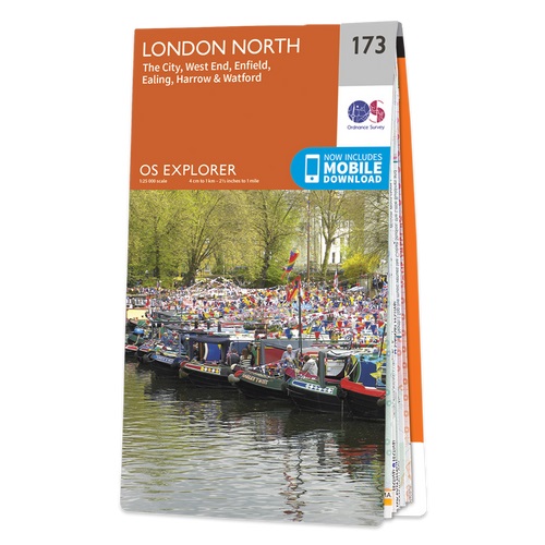
London North: The City, West End, Enfield, Ealing, Harrow and Watford area on a detailed topographic and GPS compatible map No. 173, paper version, from the Ordnance Survey’s 1:25,000 Explorer series. MOBILE DOWNLOADS: this title and all the other OS Explorer maps include a code for downloading after purchase the digital version onto your...Read more