The Book Depository
United Kingdom
2021
» Click to open
Stanfords
United Kingdom
2021
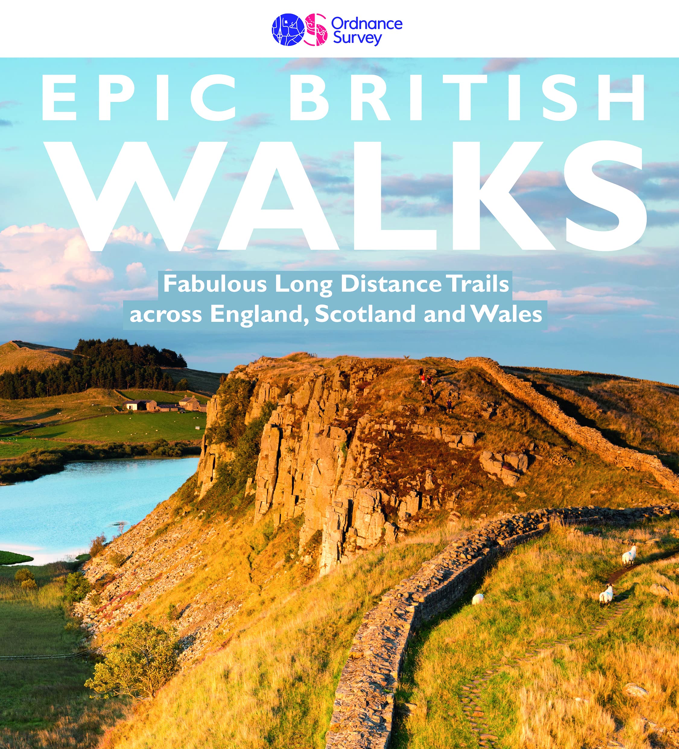
  • Epic British Walks
  • OS Epic British Walks allows the reader to take their walking dreams one step further with this inspiring introduction to distance walking and with thirty-eight amazing trails of immense diversity, each graded by difficulty, there are routes for first-time hikers as well as for the super-fit, seasoned multi-day rambler.This is the perfect book... Read more
» Click to close
The Book Depository
United Kingdom
» Click to open
Stanfords
United Kingdom
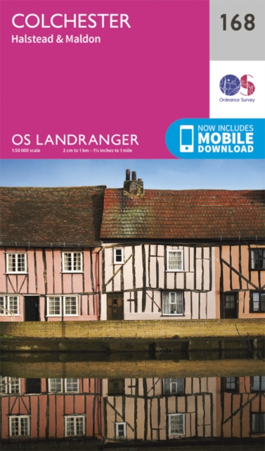
  • Colchester, Halstead & Maldon OS Landranger Map 168 (paper)
  • Colchester, Halstead and Maldon area, including part of the E2 European Long-distance Path, on a paper version of map No. 168 from the Ordnance Survey’s Landranger series at 1:50,000, with contoured and GPS compatible topographic mapping plus tourist information.MOBILE DOWNLOADS: As well as the physical edition of the map, each Landranger title... Read more
» Click to close
The Book Depository
United Kingdom
» Click to open
Stanfords
United Kingdom
  • Cheviot Hills - Jedburgh & Wooler OS Explorer Map OL16 (paper)
  • The Cheviot Hills on a detailed topographic and GPS compatible map OL16, paper version, from the Ordnance Survey’s 1:25,000 Explorer series. Coverage includes Jedburgh, Woolmer, part of the Northumberland National Park, the peaks of The Cheviot, Corby Pike, Cold Law, Scrathy Holes and Windy Gyle, Catcleugh Reservoir, sections of the Pennine Way... Read more
» Click to close
The Book Depository
United Kingdom
2015
» Click to open
Stanfords
United Kingdom
2015
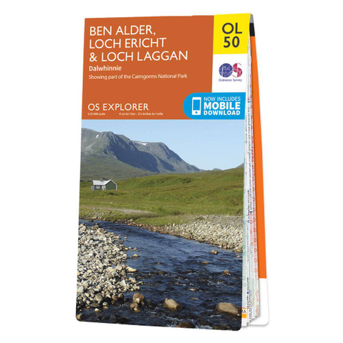
  • Ben Alder, Loch Ericht & Loch Laggan - Dalwhinnie OS Explorer Map OL50 (paper)
  • Ben Alder, Loch Ericht and Loch Laggan area of the Scottish Highlands on a detailed topographic and GPS compatible map OL50, paper version, from the Ordnance Survey’s 1:25,000 Explorer series. Coverage includes a small section of the Cairngorms National Park near Dalwhinnie, 16 Munro peaks including Geal Charn, Carn Dearg, and Beinn na Lap,... Read more
» Click to close
The Book Depository
United Kingdom
» Click to open
Stanfords
United Kingdom
  • Cheviot Hills - Jedburgh & Wooler OS Explorer Active Map OL16 (waterproof)
  • The Cheviot Hills on a detailed topographic and GPS compatible map OL16, waterproof version, from the Ordnance Survey’s 1:25,000 Explorer series. Coverage includes Jedburgh, Woolmer, part of the Northumberland National Park, the peaks of The Cheviot, Corby Pike, Cold Law, Scrathy Holes and Windy Gyle, Catcleugh Reservoir, sections of the... Read more
» Click to close
The Book Depository
United Kingdom
2010
» Click to open
De Zwerver
Netherlands
2010
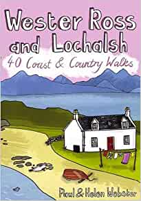
  • Wandelgids Wester Ross and Lochalsh | Pocket Mountains
  • Wester Ross and Lochalsh are amongst the most popular areas for walks in the Scottish Highlands. The Lochalsh peninsula between the shores of Loch Duich and Loch Carron offers varied walking from villages such as Plockton as well as the region's main town at Kyle of Lochalsh. Across the dramatic Mam Ratagan pass is the remote and secluded... Read more
Stanfords
United Kingdom
2010
  • Wester Ross and Lochalsh
  • Wester Ross and Lochalsh are amongst the most popular areas for walks in the Scottish Highlands. The Lochalsh peninsula between the shores of Loch Duich and Loch Carron offers varied walking from villages such as Plockton as well as the region`s main town at Kyle of Lochalsh. Across the dramatic Mam Ratagan pass is the remote and secluded... Read more
» Click to close
The Book Depository
United Kingdom
» Click to open
Stanfords
United Kingdom
» Click to close
The Book Depository
United Kingdom
The Book Depository
United Kingdom
» Click to open
Stanfords
United Kingdom
» Click to close
The Book Depository
United Kingdom
» Click to open
Stanfords
United Kingdom
  • Cambridge - Newmarket, Saffron Walden OS Landranger 154
  • Parts of Cambridgeshire, Suffolk and Essex with Cambridge, Newmarket and Saffron Walden, including part of the E2 European Long-distance path, on a paper version of map No. 154 from the Ordnance Survey’s Landranger series at 1:50,000, with contoured and GPS compatible topographic mapping plus tourist information.MOBILE DOWNLOADS: As well as the... Read more
» Click to close
The Book Depository
United Kingdom
2018
The Book Depository
United Kingdom
2022
» Click to open
Stanfords
United Kingdom
2022
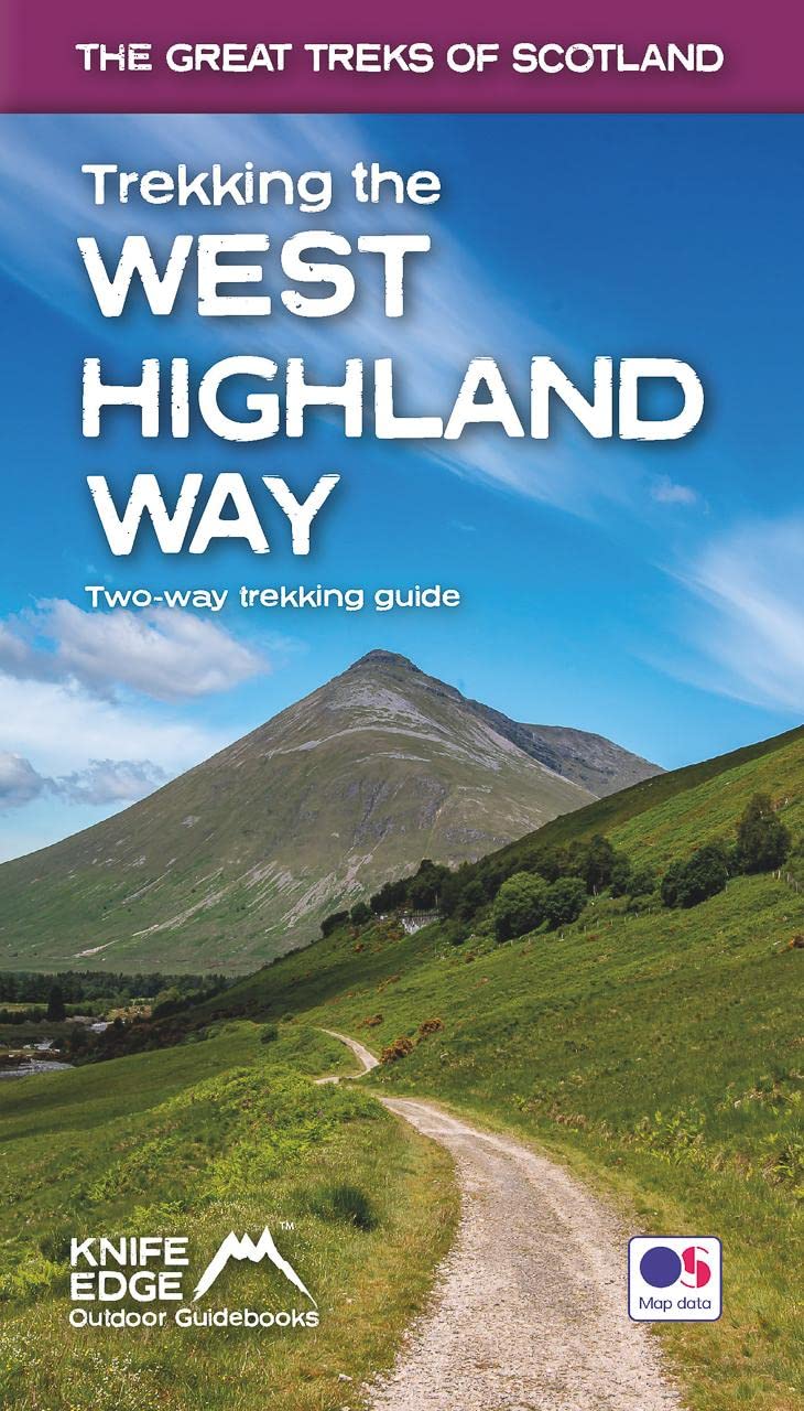
  • Trekking the West Highland Way - Two-way trekking guide
  • The definitive two-way guide to the West Highland Way: both northbound and southbound routes are described in full.Real Maps: Full Ordnance Survey Explorer mapping inside (1:25,000)17 different itineraries: schedules of 3, 4, 5, 6, 7, 8, 9, 10 and 11 days for hikers and runners. Includes both southbound and northbound itineraries. Difficult... Read more
» Click to close
The Book Depository
United Kingdom
» Click to open
Stanfords
United Kingdom
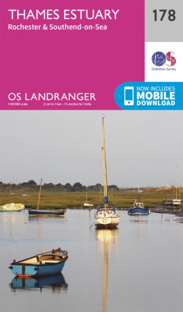
  • Thames Estuary, Rochester & Southend-on-Sea OS Landranger Map 178 (paper)
  • Thames Estuary with Rochester and Southend-on-Sea, including a section of the North Downs Way / E2 European Long-Distance Path, on a paper version of map No. 178 from the Ordnance Survey’s Landranger series at 1:50,000, with contoured and GPS compatible topographic mapping plus tourist information.MOBILE DOWNLOADS: As well as the physical... Read more
» Click to close
The Book Depository
United Kingdom
2016
» Click to open
Stanfords
United Kingdom
2016
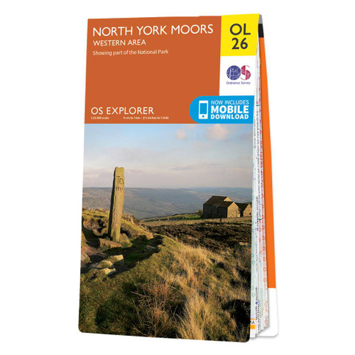
  • North York Moors Western OS Explorer Map OL26 (paper)
  • The western part of the North York Moors National Park on a detailed topographic and GPS compatible map OL26, paper version, from the Ordnance Survey’s 1:25,000 Explorer series. Coverage extends from Ampleforth in the south northwards to Saltburn-by-the-Sea, and from Ingleby Arncliffe to Danby, Castleton and Hutton-le-Hole, and includes... Read more
» Click to close
The Book Depository
United Kingdom
» Click to open
Stanfords
United Kingdom
  • Colchester, Halstead & Maldon OS Landranger Active Map 168 (waterproof)
  • Colchester, Halstead and Maldon area, including part of the E2 European Long-distance Path, on a waterproof and tear-resistant OS Active version of map No. 168 from the Ordnance Survey’s Landranger series at 1:50,000, with contoured and GPS compatible topographic mapping plus tourist information.MOBILE DOWNLOADS: As well as the physical edition... Read more
» Click to close