The Book Depository
United Kingdom
2018
United Kingdom
2018
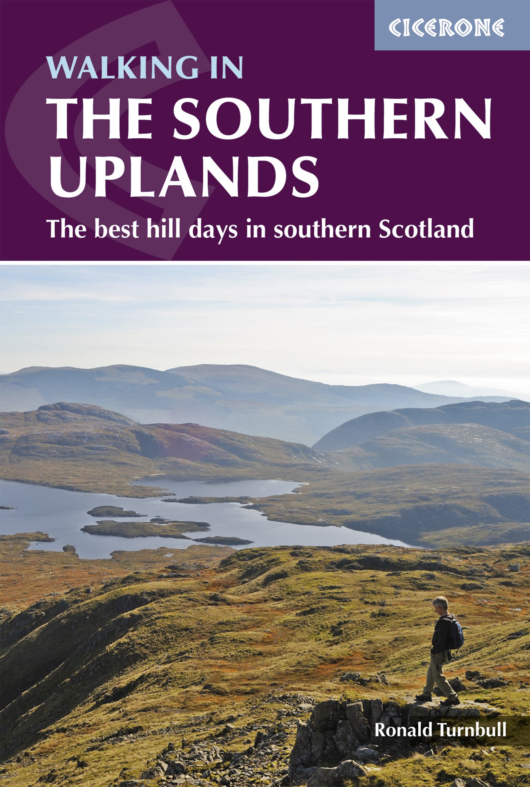
- The Pentland Hills, Midlothian and East Lothian
- 40 Coast and Country Walks Read more
- Also available from:
- De Zwerver, Netherlands
De Zwerver
Netherlands
2018
Netherlands
2018
- Wandelgids The Pentland Hills, Midlothian and East Lothian | Pocket Mountains
- 40 Coast and Country Walks Read more