Stanfords
United Kingdom
2021
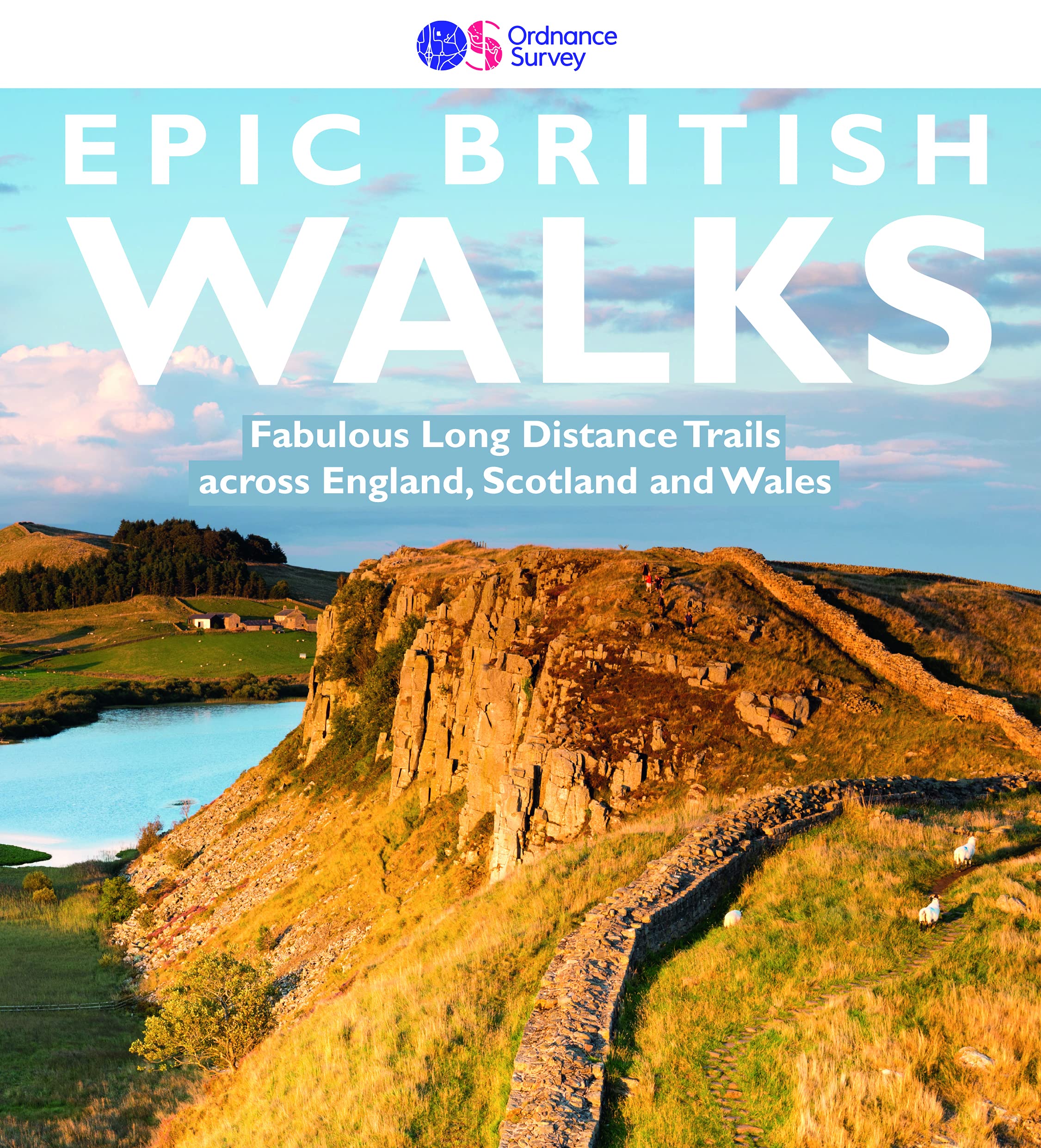
- Epic British Walks
- OS Epic British Walks allows the reader to take their walking dreams one step further with this inspiring introduction to distance walking and with thirty-eight amazing trails of immense diversity, each graded by difficulty, there are routes for first-time hikers as well as for the super-fit, seasoned multi-day rambler.This is the perfect book... Read more