Stanfords
United Kingdom
2010
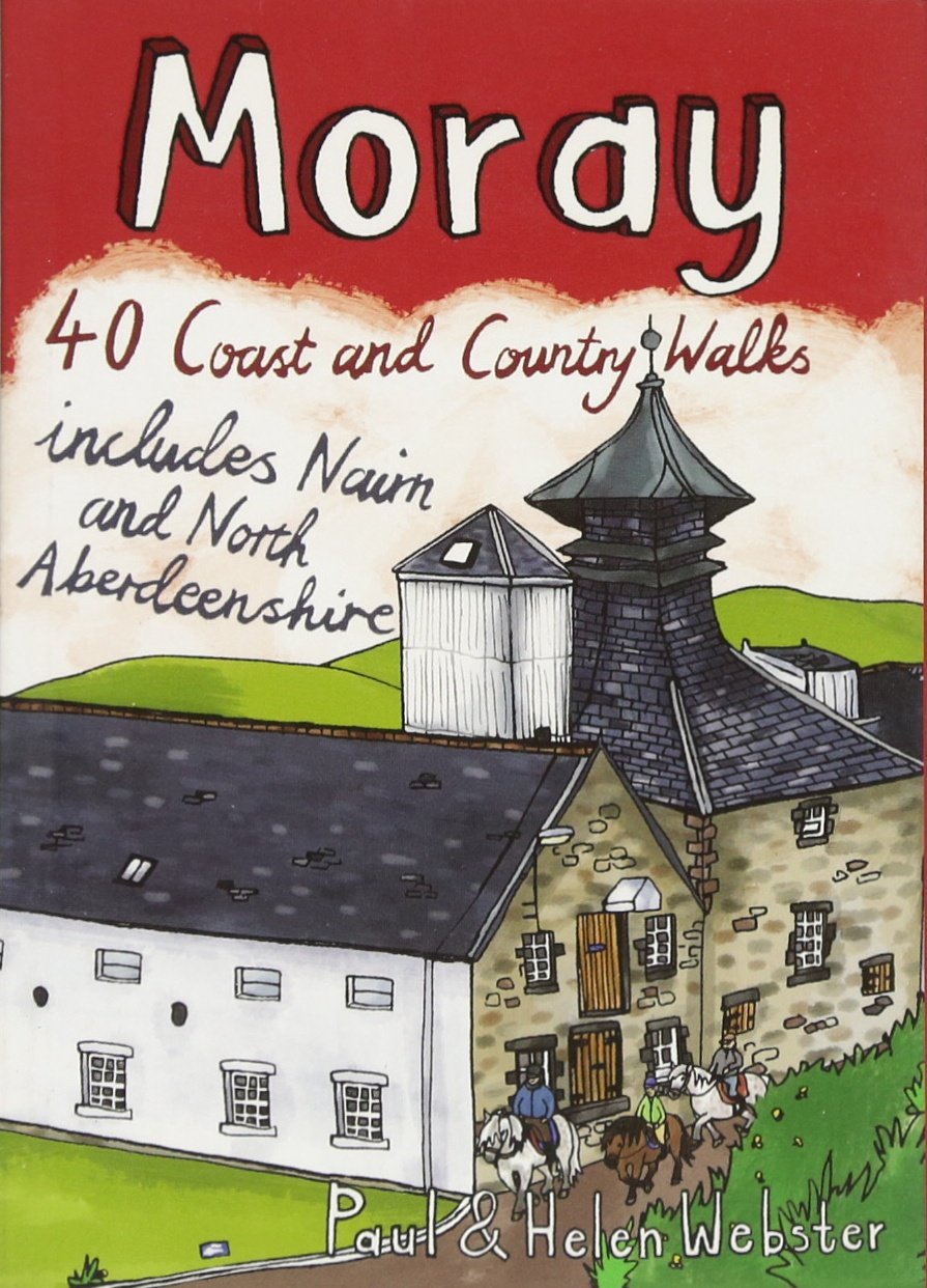
- Moray
- The Moray coastline has a string of superb sandy beaches, and towns such as Buckie, Lossiemouth and Nairn (historically part of Morayshire) have long been popular for family holidays. For the walker there are cliffs, arches and stacks as well as sand and dunes, whilst offshore it may be possible to glimpse the famous Moray Firth dolphins. Set... Read more