The Book Depository
United Kingdom
» Click to open
Stanfords
United Kingdom
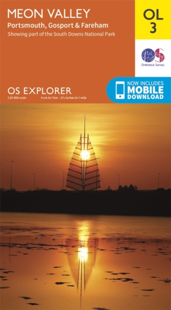
  • Meon Valley, Portsmouth, Gosport & Fareham OS Explorer Map OL3 (paper)
  • Meon Valley, Portsmouth, Gosport and Fareham area of south Hampshire on a detailed topographic and GPS compatible map OL3, paper version, from the Ordnance Survey’s 1:25,000 Explorer series. Coverage extends from the coast to Owslebury and East Meon, and includes part of the South Downs National Park, a section of the South Downs Way National... Read more
» Click to close
The Book Depository
United Kingdom
» Click to open
Stanfords
United Kingdom
  • Chichester, South Harting and Selsey OS Explorer Active Map OL8 (waterproof)
  • Chichester, South Harting and Selsey area of Sussex and Hampshire on a detailed topographic and GPS compatible map OL8, waterproof version, from the Ordnance Survey’s 1:25,000 Explorer series. Coverage along the coast extends from Pagham westwards across Selsey Bill and Hayling Island to Langstone Harbour, and includes part of the South Downs... Read more
» Click to close
The Book Depository
United Kingdom
» Click to open
Stanfords
United Kingdom
  • The South Downs A Dog Walker`s Guide
  • With its ancient woodland, river valleys and rolling hillsides, the South Downs, spanning the southern coastal counties of Hampshire and Sussex, is a dog-walker`s delight.This collection of 20 tried-and-tested circular walks has been written specifically for dogs and their owners, allowing for maximum off-lead time. These routes, covering the... Read more
» Click to close
The Book Depository
United Kingdom
2023
» Click to open
» Click to close
The Book Depository
United Kingdom
» Click to open
Stanfords
United Kingdom
  • Chichester, South Harting & Selsey OS Explorer Map OL8 (paper)
  • Chichester, South Harting and Selsey area of Sussex and Hampshire on a detailed topographic and GPS compatible map OL8, paper version, from the Ordnance Survey’s 1:25,000 Explorer series. Coverage along the coast extends from Pagham westwards across Selsey Bill and Hayling Island to Langstone Harbour, and includes part of the South Downs... Read more
» Click to close
The Book Depository
United Kingdom
» Click to open
Stanfords
United Kingdom
» Click to close
The Book Depository
United Kingdom
2019
» Click to open
Stanfords
United Kingdom
2019
  • Sussex: AA 50 Walks
  • Walking is one of Britain`s favourite leisure activities, and AA 50 Walks in Sussex features a variety of mapped walks of two to ten miles, to suit all abilities. The book features all the practical detail you need, accompanied by fascinating background reading on the history and wildlife of Sussex, and clear full colour mapping for ease of... Read more
» Click to close
The Book Depository
United Kingdom
» Click to open
Stanfords
United Kingdom
  • Chichester, South Downs, Bognor Regis & Arundel OS Landranger Map 197 (paper)
  • Chichester and Bognor Regis area, including the South Downs National Park and a section of the South Downs Way / E9 European Long-distance Path, on a paper version of map No. 197 from the Ordnance Survey’s Landranger series at 1:50,000, with contoured and GPS compatible topographic mapping plus tourist information.MOBILE DOWNLOADS: As well as... Read more
» Click to close
The Book Depository
United Kingdom
2020
» Click to open
De Zwerver
Netherlands
2020
Stanfords
United Kingdom
2020
  • South Downs Way - Easy-to-use Folding Map and Essential Information
  • The 162-kilometre South Downs Way begins in Winchester and traces a ridgeline along the rolling, green South Downs to the coast at Eastbourne. It is rightly regarded as one of the finest long-distance trails in England. Predominantly bridleway, the trail is generally wide and hard-surfaced and can be walked at any time of year. The South Downs... Read more
» Click to close
The Book Depository
United Kingdom
» Click to open
Stanfords
United Kingdom
» Click to close
The Book Depository
United Kingdom
The Book Depository
United Kingdom
» Click to open
Stanfords
United Kingdom
  • Arundel & Pulborough - Worthing & Bognor Regis OS Explorer Map OL10 (paper)
  • Arundel and Pulborough area of Sussex on a detailed topographic and GPS compatible map OL10, paper version, from the Ordnance Survey’s 1:25,000 Explorer series. Coverage along the coast extends from east of Worthing across Littlehampton to west of Bognor Regis and inland to Pulborough, and includes part of the South Downs National Park with a... Read more
» Click to close
The Book Depository
United Kingdom
» Click to open
Stanfords
United Kingdom
» Click to close
The Book Depository
United Kingdom
» Click to open
Stanfords
United Kingdom
  • Everest England
  • A unique hill-walking guide with a culminative ascent of the height of Everest, written in Peter Owen Jones` unique descriptive style. Scaling the peaks of Everest, the world`s highest mountain, is the ultimate physical and mental challenge that the human race can aspire to. But as it takes years of preparation and a minimum of £25,000 to... Read more
» Click to close
The Book Depository
United Kingdom
» Click to open
Stanfords
United Kingdom
  • Winchester, Basingstoke, Andover & Romsey OS Landranger Map 185 (paper)
  • Winchester and Basingstoke area, including the westernmost part of the South Downs National Park and a section of the South Downs Way, on a paper version of map No. 185 from the Ordnance Survey’s Landranger series at 1:50,000, with contoured and GPS compatible topographic mapping plus tourist information.MOBILE DOWNLOADS: As well as the... Read more
» Click to close