The Book Depository
United Kingdom
2022
» Click to open
De Zwerver
Netherlands
2022
  • Wandelgids Best Day Walks France - Frankrijk | Lonely Planet
  • Lonely Planet`s Best Day Walks France is your passport to 60 easy escapes into nature. Stretch your legs away from the city by picking a walk that works for you, from just a couple of hours to a full day, from easy to hard. Explore the Pyrenees, hike the French Alps, and marvel at beautiful Corsica. Inside Lonely Planet`s Best Day Walks... Read more
Stanfords
United Kingdom
2022
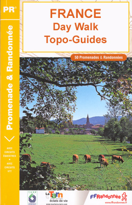
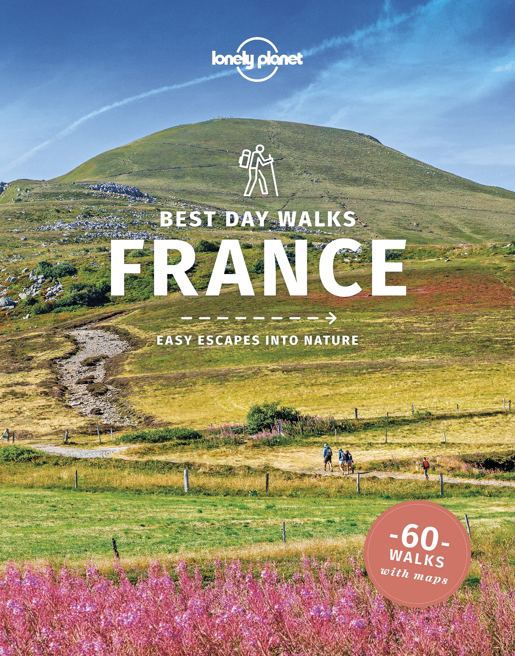
  • Lonely Planet Best Day Walks France
  • Lonely Planet`s Best Day Walks France is your passport to 60 easy escapes into nature. Stretch your legs away from the city by picking a walk that works for you, from just a couple of hours to a full day, from easy to hard. Explore the Pyrenees, hike the French Alps, and marvel at beautiful Corsica. Inside Lonely Planet`s Best Day Walks... Read more
» Click to close
The Book Depository
United Kingdom
2018
» Click to open
De Zwerver
Netherlands
2018
  • Wandelgids 8000 Au fil de la Somme GR800 | FFRP
  • Fout lopen wordt op deze manier wel erg moeilijk. Met symbolen is weergegeven welke voorzieningen (openbaar vervoer / winkels / overnachtingen) er zijn langs of bij de route. De gids bevat een lijst met overnachtingsadressen inclusief telefoonnummers, soms aangevuld met websites/mailadressen. Alle gidsen bevatten een door ons toegevoegde... Read more
» Click to close
The Book Depository
United Kingdom
2019
» Click to open
Stanfords
United Kingdom
2019
  • La Montagne Sainte-Victoire à pied
  • La Montagne Sainte-Victoire à pied, FFRP topo-guide Ref. No.P131, with 28 day walks of varying length and difficulty in the mountains just east of Aix-en-Provence, famous from Cezanne’s beautiful paintings of them. Each walk is presented on a separate colour extract from IGN’s topographic survey of France at 1:25,000, with its description... Read more
» Click to close
The Book Depository
United Kingdom
2021
» Click to open
Stanfords
United Kingdom
2021
  • Val d`Oise a pied - 39 Promenades et Randonnees
  • The Val d`Oise is four natural regions to discover. Parisis in the south of the department, Pays de France in the east, a vast agricultural plateau made up of wooded areas (forests of Montmorency and Isle-Adam). The Ysieux valley remains steeped in the ancient activity of the Cistercian monks. There is also the Lys marsh and the Royaumont... Read more
» Click to close
The Book Depository
United Kingdom
» Click to open
Stanfords
United Kingdom
  • Nantes Métropole à pied
  • Nantes Métropole et ses environs à pied, FFRP topo-guide Ref. No. P441, with 29 day walks of varying length and difficulty in the city itself and in the surrounding countryside, including a circuit around the environs . Each walk is presented on a separate colour extract from IGN’s topographic survey of France at 1:25,000, with its description... Read more
» Click to close
The Book Depository
United Kingdom
The Book Depository
United Kingdom
2018
» Click to open
De Zwerver
Netherlands
2018
  • Wandelgids Walking in the Briançonnais | Cicerone
  • Guidebook of 40 walks around Briançon in France. Walks for all abilities ranging from 1½ to 7hrs. The book focuses on the stunning valleys of Clarée, Cerveyrette, Ayes, Durance and Guisane, and includes the magnificent Alpine landscapes around Vallouise and Montgenèvre. Read more
Stanfords
United Kingdom
2018
» Click to close
The Book Depository
United Kingdom
2018
» Click to open
De Zwerver
Netherlands
2018
  • Wandelgids P431 Le Velay... à pied | FFRP
  • Franstalige wandelgids met een beschrijving van een aantal dagtochten. Uitstekende beschrijvingen met duidelijk kaartmateriaal. Mislopen is nauwelijks mogelijk, maar ja .. de franse taal! Ook praktische informatie staat in deze gids. Alle gidsen bevatten een door ons toegevoegde uitgebreide frans - nederlandse wandelwoordenlijst. On a coutume... Read more
» Click to close
The Book Depository
United Kingdom
2021
» Click to open
De Zwerver
Netherlands
2021
  • Wandelgids D083 Le Var... à pied | FFRP
  • Le Var à pied, FFRP topo-guide Ref. No. D083, with 29 day walks of varying length and difficulty in the department of Var, including the areas around Toulon, Giens, St. Tropez, Fréjus, Fayence, etc. Each walk is presented on a separate colour extract from IGN’s topographic survey of France at 1:25,000, with its description cross-referenced to... Read more
Stanfords
United Kingdom
2021
  • Le Var à pied FFRP Topo-guide D083
  • Le Var à pied, FFRP topo-guide Ref. No. D083, with 29 day walks of varying length and difficulty in the department of Var, including the areas around Toulon, Giens, St. Tropez, Fréjus, Fayence, etc. Each walk is presented on a separate colour extract from IGN’s topographic survey of France at 1:25,000, with its description cross-referenced to... Read more
» Click to close
The Book Depository
United Kingdom
» Click to open
Stanfords
United Kingdom
  • Les Arcs - La Plagne - PN de la Vanoise IGN 3532ET
  • Topographic survey of France at 1:25,000 in IGN`s excellent TOP25 / Série Bleue series. All the maps are GPS compatible, with a 1km UTM grid plus latitude and longitude lines at 5’ intervals. Contours are at 5m intervals except for mountainous areas where the maps have contours at 10m intervals, vividly enhanced by hill shading and graphics for... Read more
» Click to close
The Book Depository
United Kingdom
The Book Depository
United Kingdom
2020
» Click to open
Stanfords
United Kingdom
2020
  • Le Pays de Rennes à pied
  • Le Pays de Rennes à pied, FFRP topo-guide Ref. No. P352, with 50 walks of varying length and difficulty around Rennes. There are walks along the rivers Ille, Seiche and Vilaine and the Canal d`Ille et Rance, and two itineraries explore Rennes itself. Each walk is presented on a separate colour extract from IGN’s topographic survey of France at... Read more
» Click to close
The Book Depository
United Kingdom
The Book Depository
United Kingdom
2020
» Click to open
Stanfords
United Kingdom
2020
  • L`île de La Réunion... à pied
  • Les sentiers forestiers de l`île de la Réunion, FFRP topo-guide Ref. No.SF01, with 35 day walks of varying length and difficulty on the island. Each walk is presented on a separate colour extract from IGN’s topographic survey at 1:25,000, with its description cross-referenced to the map. Current edition of this title was published in April... Read more
» Click to close
The Book Depository
United Kingdom
» Click to open
Stanfords
United Kingdom
  • Besancon - Montbeliard IGN TOP100 137
  • Discover the new double-sided laminated edition of TOP100 road maps of France from the Institut Géographique National (IGN); exceptionally detailed, contoured road maps which include the cycle paths and greenways of the AF3V (French Association for the Development of Cycle Paths and Greenways), ideal for exploring the French countryside by car,... Read more
» Click to close