The Book Depository
United Kingdom
The Book Depository
United Kingdom
2015
» Click to open
Stanfords
United Kingdom
2015
  • Salisbury & Stonehenge - Wilton & Market Lavington OS Explorer Map 130 (paper)
  • Salisbury, Stonehenge, Wilton and Market Lavington area on a detailed topographic and GPS compatible map No. 130, paper version, from the Ordnance Survey’s 1:25,000 Explorer series. MOBILE DOWNLOADS: this title and all the other OS Explorer maps include a code for downloading after purchase the digital version onto your smartphone or tablet for... Read more
» Click to close
The Book Depository
United Kingdom
2019
» Click to open
De Zwerver
Netherlands
2019
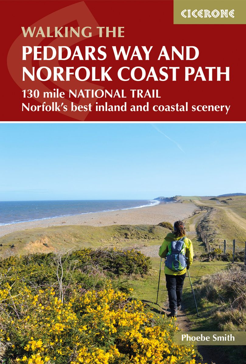
  • Wandelgids The Peddars Way and Norfolk Coast Path | Cicerone
  • The 130 mile Peddars Way and Norfolk Coast Path National Trail combines the best of inland and coastal walking, and is ideal for people new to long-distance walks. Beginning near Thetford, the route heads north west to near Hunstanton, then follows the heritage coast to Hopton-on-Sea, taking roughly one week to complete. Read more
Stanfords
United Kingdom
2019
» Click to close
The Book Depository
United Kingdom
» Click to open
Stanfords
United Kingdom
  • London East, Billericay & Gravesend OS Landranger Map 177 (paper)
  • London eastwards from King’s Cross, Wood Green and Croydon, including south-western Essex and north-western Kent, on a paper version of map No. 177 from the Ordnance Survey’s Landranger series at 1:50,000, with contoured and GPS compatible topographic mapping plus tourist information.MOBILE DOWNLOADS: As well as the physical edition of the map,... Read more
» Click to close
The Book Depository
United Kingdom
» Click to open
Stanfords
United Kingdom
  • Ely, Wisbech & Downham Market OS Landranger Map 143 (paper)
  • Cambridgeshire around Ely, Wisbech and Downham Market, including part of the E2 European Long-distance Path, on a paper version of map No. 143 from the Ordnance Survey’s Landranger series at 1:50,000, with contoured and GPS compatible topographic mapping plus tourist information.MOBILE DOWNLOADS: As well as the physical edition of the map, each... Read more
» Click to close
The Book Depository
United Kingdom
2015
» Click to open
Stanfords
United Kingdom
2015
  • Cirencester & Swindon - Fairford & Cricklade OS Explorer Map 169 (paper)
  • Cirencester, Swindon, Fairford and Cricklade area on a detailed topographic and GPS compatible map No. 169, paper version, from the Ordnance Survey’s 1:25,000 Explorer series. MOBILE DOWNLOADS: this title and all the other OS Explorer maps include a code for downloading after purchase the digital version onto your smartphone or tablet for... Read more
» Click to close
The Book Depository
United Kingdom
2018
» Click to open
Stanfords
United Kingdom
2018
» Click to close
The Book Depository
United Kingdom
2015
» Click to open
Stanfords
United Kingdom
2015
  • Norfolk Coast East - Cromer & North Walsham OS Explorer Map 252 (paper)
  • Norfolk Coast East, Cromer and North Walsham area on a detailed topographic and GPS compatible map No. 252, paper version, from the Ordnance Survey’s 1:25,000 Explorer series.MOBILE DOWNLOADS: this title and all the other OS Explorer maps include a code for downloading after purchase the digital version onto your smartphone or tablet for... Read more
» Click to close
The Book Depository
United Kingdom
2022
» Click to open
» Click to close
The Book Depository
United Kingdom
» Click to open
Stanfords
United Kingdom
» Click to close
The Book Depository
United Kingdom
2015
» Click to open
Stanfords
United Kingdom
2015
» Click to close
The Book Depository
United Kingdom
» Click to open
Stanfords
United Kingdom
  • Cumbria Way (72 miles)
  • Cumbria Way (72 miles) is the Hillside mini guide to walking the well established long-distance route through the Lake District, from Ulverston to Carlisle, through the scenery of the Lake District National Park.Hillside Great Britain Mini Walking Guides series is a collection of mini guides by Paul Hannon to the walking country in Great... Read more
» Click to close
The Book Depository
United Kingdom
2015
» Click to open
Stanfords
United Kingdom
2015
  • Thetford Forest in the Brecks - Thetford & Brandon OS Explorer Map 229 (paper)
  • Thetford Forest in the Brecks, Thetford and Brandon area on a detailed topographic and GPS compatible map No. 229, paper version, from the Ordnance Survey’s 1:25,000 Explorer series. MOBILE DOWNLOADS: this title and all the other OS Explorer maps include a code for downloading after purchase the digital version onto your smartphone or tablet... Read more
» Click to close
The Book Depository
United Kingdom
2018
» Click to open
De Zwerver
Netherlands
2018
Stanfords
United Kingdom
2018
» Click to close
The Book Depository
United Kingdom
» Click to open
Stanfords
United Kingdom
  • Bristol, Bath, Thornbury & Chew Magna OS Landranger Map 172 (paper)
  • Bristol and Bath area, including the southern section of the Cotswold Way, on a paper version of map No. 172 from the Ordnance Survey’s Landranger series at 1:50,000, with contoured and GPS compatible topographic mapping plus tourist information.MOBILE DOWNLOADS: As well as the physical edition of the map, each Landranger title now includes a... Read more
» Click to close