The Book Depository
United Kingdom
2017
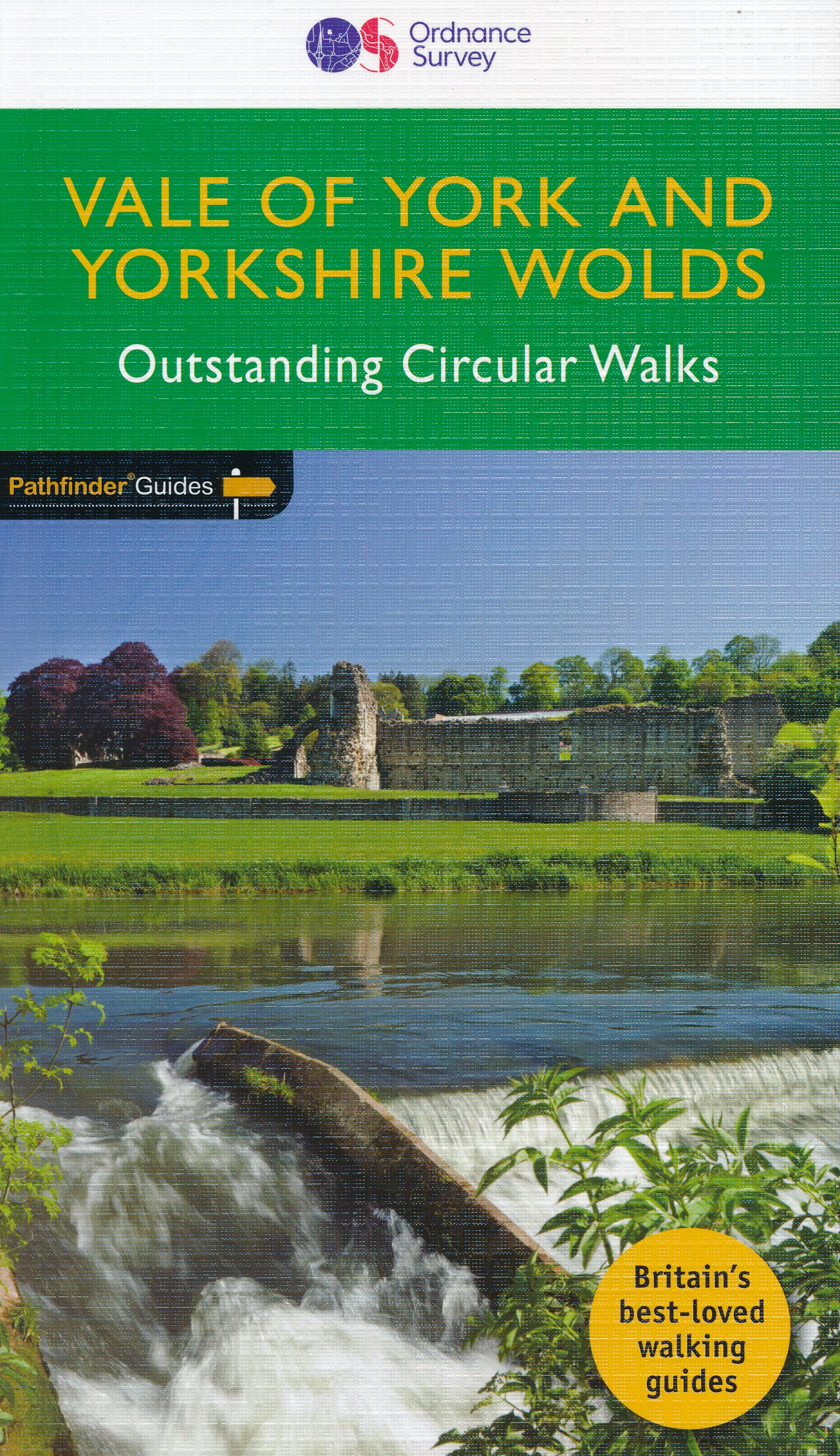
- Vale of York & the Yorkshire Wolds
- The wide plain of the Vale of York lies at the very heart of the county of Yorkshire with the historic city of York at its centre. The vale is bordered by the Pennnines to the west, the North York Moors to the north-east and the Yorkshire Wolds to the east. While most visitors flock to Yorkshire`s two national parks, the flat plains of the Vale... Read more