The Book Depository
United Kingdom
» Click to open
Stanfords
United Kingdom
» Click to close
The Book Depository
United Kingdom
2019
» Click to open
De Zwerver
Netherlands
2019
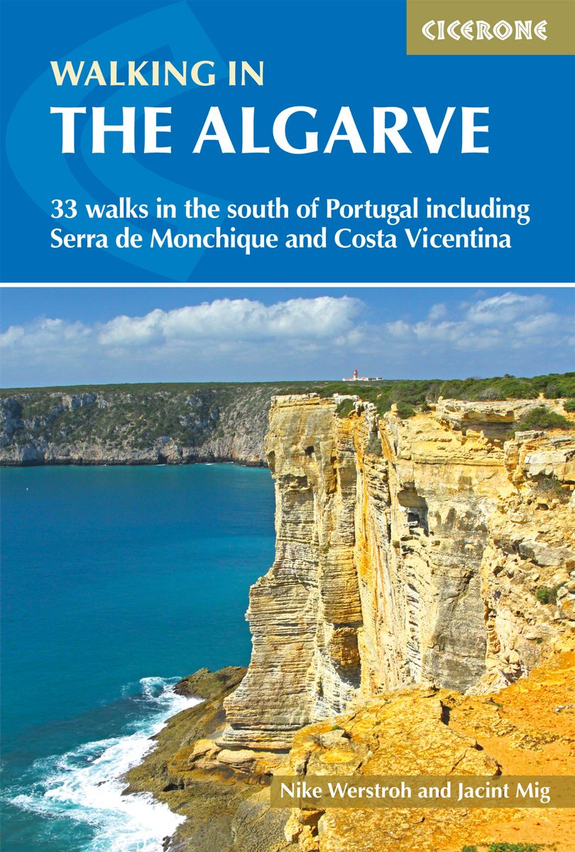
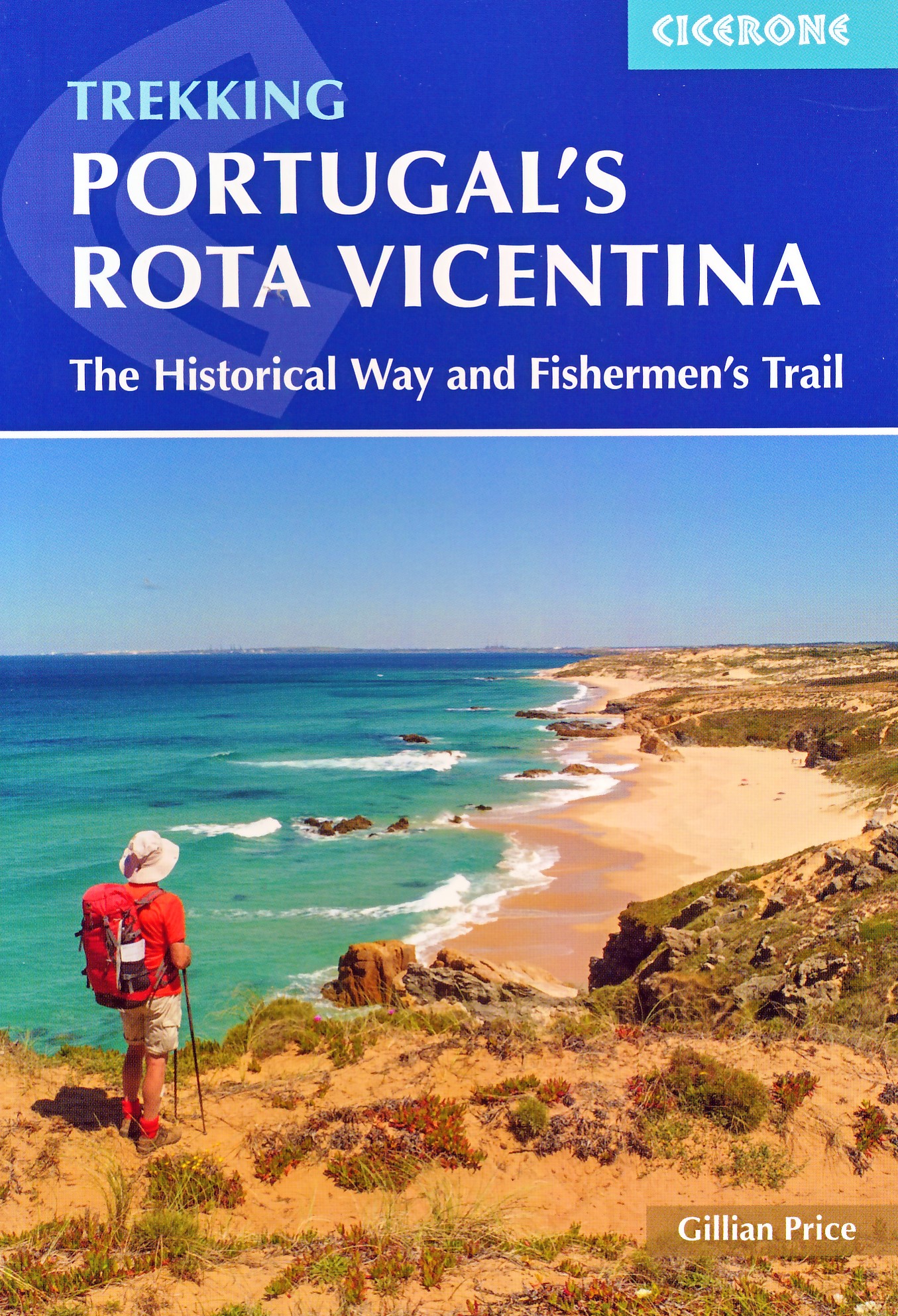
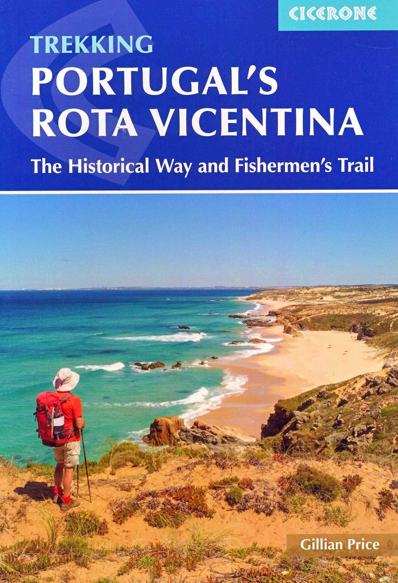
  • Wandelgids Walking in the Algarve | Cicerone
  • Guidebook to 33 day walks in the Algarve, Portugal's southernmost region. The selected routes offer both coastal and inland options, including the Serra de Monchique and Costa Vicentina, the south and west coasts, the central region and East Algarve. The Algarve benefits from a mild climate, fine scenery and easy transport access. Read more
Stanfords
United Kingdom
2019
  • Algarve Walking
  • This guidebook presents 33 walks in Portugal`s beautiful Algarve. Boasting good weather, easy access via Faro airport, stunning scenery and some great hiking trails, the region is a perfect destination for a walking holiday.Ranging from 3.5 to 17km, the routes cover the rugged Vicentina Coast and sun-kissed south coast, the Monchique mountains... Read more
» Click to close
The Book Depository
United Kingdom
» Click to open
Stanfords
United Kingdom
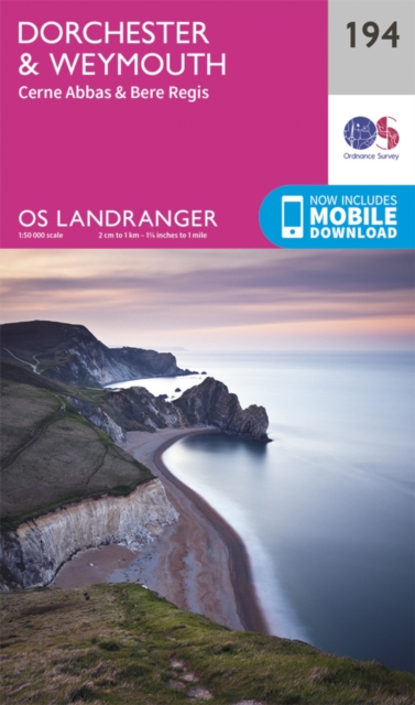
  • Dorchester, Weymouth, Cerne Abbas & Bere Regis OS Landranger Map 194 (paper)
  • Dorchester and Weymouth area, including a section of the South West Coast Path / E9 European Long-distance Path, on a paper version of map No. 194 from the Ordnance Survey’s Landranger series at 1:50,000, with contoured and GPS compatible topographic mapping plus tourist information.MOBILE DOWNLOADS: As well as the physical edition of the map,... Read more
» Click to close
The Book Depository
United Kingdom
» Click to open
Stanfords
United Kingdom
» Click to close
The Book Depository
United Kingdom
» Click to open
Stanfords
United Kingdom
» Click to close
The Book Depository
United Kingdom
» Click to open
Stanfords
United Kingdom
» Click to close
The Book Depository
United Kingdom
» Click to open
Stanfords
United Kingdom
» Click to close
The Book Depository
United Kingdom
» Click to open
Stanfords
United Kingdom
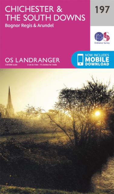
  • Chichester, South Downs, Bognor Regis & Arundel OS Landranger Map 197 (paper)
  • Chichester and Bognor Regis area, including the South Downs National Park and a section of the South Downs Way / E9 European Long-distance Path, on a paper version of map No. 197 from the Ordnance Survey’s Landranger series at 1:50,000, with contoured and GPS compatible topographic mapping plus tourist information.MOBILE DOWNLOADS: As well as... Read more
» Click to close
The Book Depository
United Kingdom
» Click to open
Stanfords
United Kingdom
» Click to close
The Book Depository
United Kingdom
» Click to open
De Zwerver
Netherlands
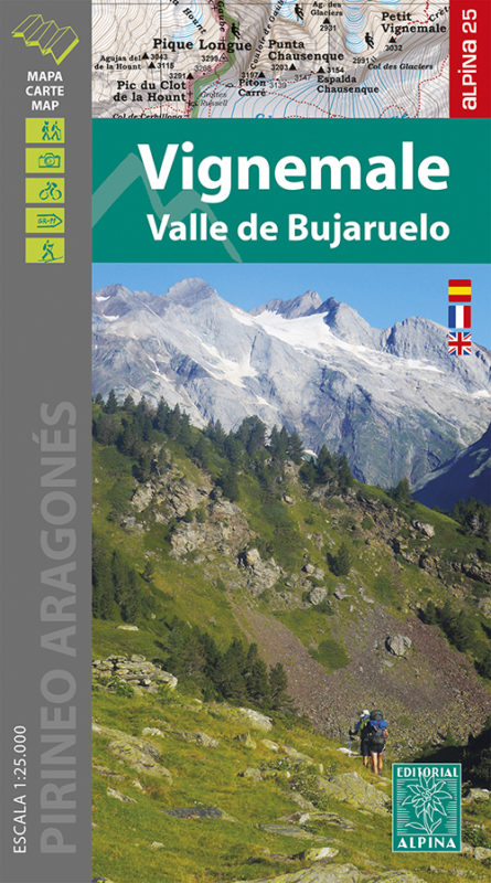
  • Wandelkaart 06 Vignemale - Valle de Bujaruelo | Editorial Alpina
  • Cross-border area of the Pyrenees at 1:25,000 on a contoured and GPS compatible map covering on the Spanish side the valleys of Bujaruelo and Ara with the western section of the Ordesa National Park and the Ordesa Valley, and within France extending from the Vignemale Massif to Gavarnie, plus a Spanish/French booklet with recommendations for... Read more
Stanfords
United Kingdom
  • Vignemale - Valle de Bujaruelo Editorial Alpina
  • Cross-border area of the Pyrenees at 1:25,000 on a contoured and GPS compatible map covering on the Spanish side the valleys of Bujaruelo and Ara with the western section of the Ordesa National Park and the Ordesa Valley, and within France extending from the Vignemale Massif to Gavarnie, plus a Spanish/French booklet with recommendations for... Read more
» Click to close
The Book Depository
United Kingdom
» Click to open
Stanfords
United Kingdom
» Click to close
The Book Depository
United Kingdom
» Click to open
Stanfords
United Kingdom
  • Macizo de Monte Perdido - Valle de Ordesa - Pineta Editorial Alpina
  • Ordesa and Monte Perdido National Park at 1:25,000 in a set of two GPS compatible recreational maps in an extensive and very popular series from Editorial Alpina, providing more detailed coverage of this popular hiking area.Contours are at 10m intervals, with relief shading and vegetation colouring. An overprint highlights waymarked PR hiking... Read more
» Click to close
The Book Depository
United Kingdom
2022
» Click to open
De Zwerver
Netherlands
2022
» Click to close
The Book Depository
United Kingdom
» Click to open
Stanfords
United Kingdom
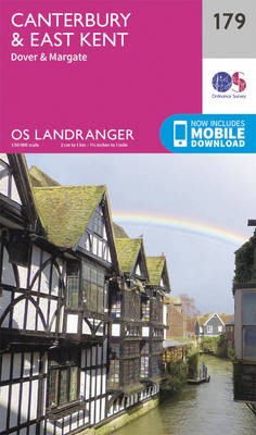
  • Canterbury, East Kent, Dover & Margate OS Landranger Map 179 (paper)
  • Eastern Kent with Canterbury, Dover and Margate, including sections of the North Downs Way and the E2 and E9 European Long-Distance Paths, on a paper version of map No. 179 from the Ordnance Survey’s Landranger series at 1:50,000, with contoured and GPS compatible topographic mapping plus tourist information.MOBILE DOWNLOADS: As well as the... Read more
» Click to close
The Book Depository
United Kingdom
» Click to open
Stanfords
United Kingdom
» Click to close