The Book Depository
United Kingdom
2019
United Kingdom
2019
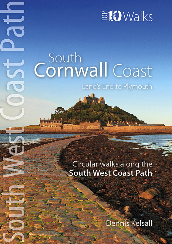
- South Cornwall Coast
- Land's End to Plymouth - Circular Walks along the South West Coast Path Read more
- Also available from:
- De Zwerver, Netherlands
- Stanfords, United Kingdom
De Zwerver
Netherlands
2019
Netherlands
2019
- Wandelgids South Cornwall Coast | Northern Eye Books
- Land's End to Plymouth - Circular Walks along the South West Coast Path Read more

Stanfords
United Kingdom
2019
United Kingdom
2019
- South Cornwall Coast: Land`s End to Plymouth - Circular Walks along the South West Coast Path
- With clear information, an overview and introduction for each walk, expertly written numbered directions, large scale Ordnance Survey maps, superb eye-grabbing panoramic photographs, and interpretation of points of interest along the way, these guides set a new standard in clarity and ease-of-use.Featured walks along the South Cornwall Coast... Read more