The Book Depository
United Kingdom
» Click to open
Stanfords
United Kingdom
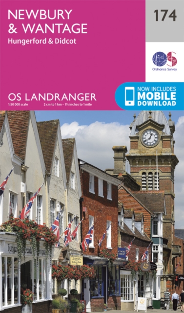
  • Newbury, Wantage, Hungerford & Didcot OS Landranger Map 174 (paper)
  • Newbury - Wantage area, including a section of the Ridgeway along the Lambourn Downs, on a paper version of map No. 174 from the Ordnance Survey’s Landranger series at 1:50,000, with contoured and GPS compatible topographic mapping plus tourist information.MOBILE DOWNLOADS: As well as the physical edition of the map, each Landranger title now... Read more
» Click to close
The Book Depository
United Kingdom
» Click to open
Stanfords
United Kingdom
  • Buckinghamshire: A Dog Walker`s Guide
  • This book contains 20 walks, varying in length from 11/2 to 5 miles, covering the best places to walk your dog in Buckinghamshire. The routes here have been selected not only because they take in the area`s finest countryside, but also because they allow for maximum off-lead time and dog safety. There are walks along parts of the Ridgeway at... Read more
» Click to close
The Book Depository
United Kingdom
» Click to open
Stanfords
United Kingdom
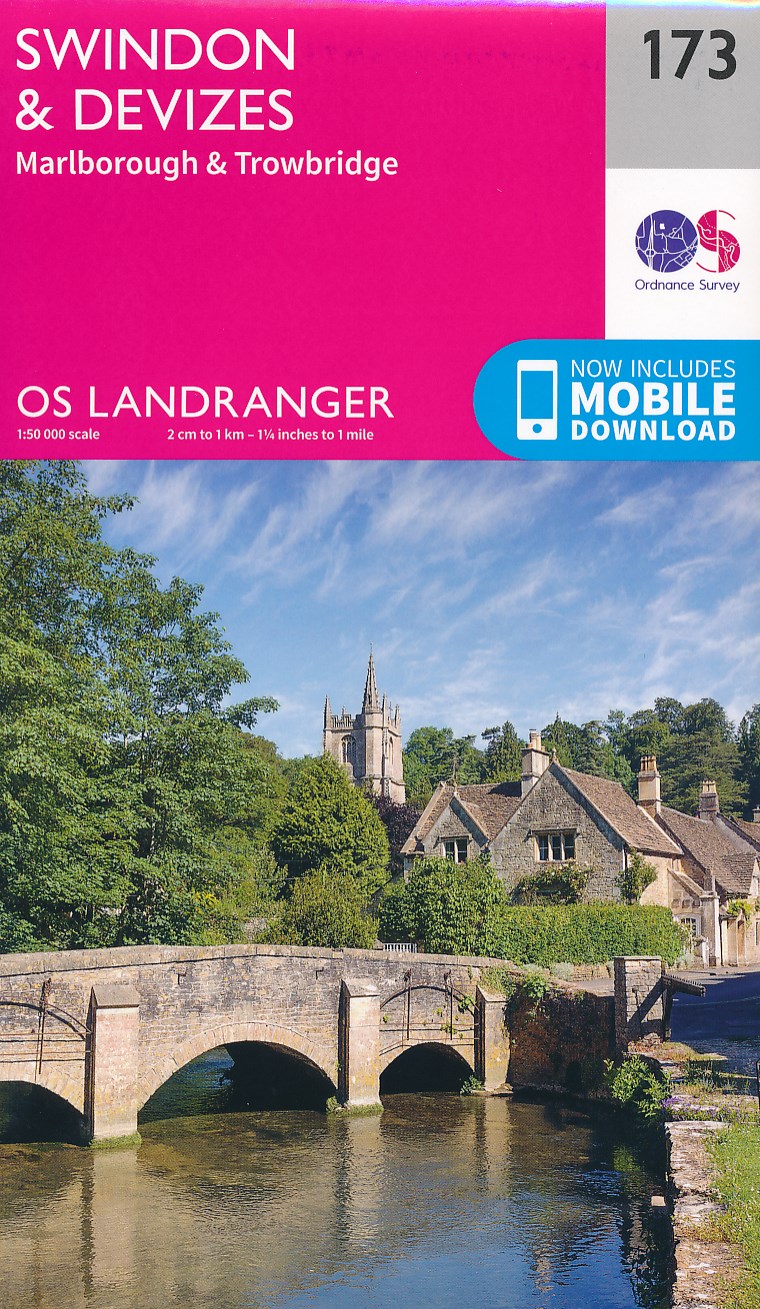
  • Swindon, Devizes, Marlborough & Trowbridge OS Landranger Map 173 (paper)
  • Swindon - Devizes area, including the westernmost section of the Ridgeway and part of the Thames Path, on a paper version of map No. 173 from the Ordnance Survey’s Landranger series at 1:50,000, with contoured and GPS compatible topographic mapping plus tourist information.MOBILE DOWNLOADS: As well as the physical edition of the map, each... Read more
» Click to close
The Book Depository
United Kingdom
2021
» Click to open
De Zwerver
Netherlands
2021
» Click to close
The Book Depository
United Kingdom
The Book Depository
United Kingdom
» Click to open
Stanfords
United Kingdom
» Click to close
The Book Depository
United Kingdom
» Click to open
Stanfords
United Kingdom
  • The Ridgeway a Dog Walker`s Guide
  • Here is a collection of 20 tried and tested circular walks ranging in length between 2.5 and 8.5 miles. They include crucial dog-walking factors such as livestock, stiles and roads, with warnings in advance when a lead is necessary and when it`s safe for your dog to run free. The routes pass by a number of quintessential English villages, many... Read more
» Click to close
The Book Depository
United Kingdom
» Click to open
Stanfords
United Kingdom
» Click to close
The Book Depository
United Kingdom
2021
» Click to open
Stanfords
United Kingdom
2021
  • Epic British Walks
  • OS Epic British Walks allows the reader to take their walking dreams one step further with this inspiring introduction to distance walking and with thirty-eight amazing trails of immense diversity, each graded by difficulty, there are routes for first-time hikers as well as for the super-fit, seasoned multi-day rambler.This is the perfect book... Read more
» Click to close
De Zwerver
Netherlands
2008
De Zwerver
Netherlands
2021
» Click to open
Stanfords
United Kingdom
2021
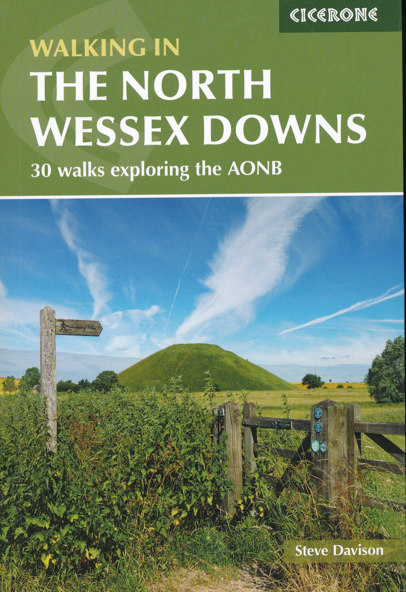
  • Walking in the North Wessex Downs: 30 walks exploring the AONB
  • Guidebook to 30 circular walks in the North Wessex Downs Area of Outstanding Natural Beauty (AONB). The routes, which range from 7 to 21km (4 to 13 miles), take in parts of four counties - Berkshire, Hampshire, Wiltshire and Oxfordshire.The North Wessex Downs are accessible hills rising above the towns and rural plains of southern England and... Read more
» Click to close
De Zwerver
Netherlands
» Click to open
Stanfords
United Kingdom
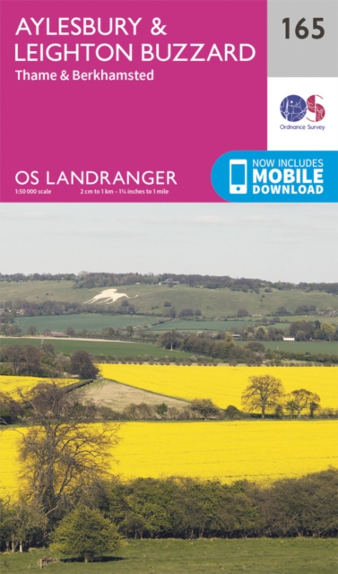
  • Aylesbury, Leighton Buzzard, Thame & Berkhamsted OS Landranger Map 165 (paper)
  • Aylesbury, Leighton Buzzard and Thame area, including Chiltern Hills with part of the Ridgeway, on a paper version of map No. 165 from the Ordnance Survey’s Landranger series at 1:50,000, with contoured and GPS compatible topographic mapping plus tourist information.MOBILE DOWNLOADS: As well as the physical edition of the map, each Landranger... Read more
» Click to close
Stanfords
United Kingdom
Stanfords
United Kingdom
The Book Depository
United Kingdom
2016
» Click to open
De Zwerver
Netherlands
2016
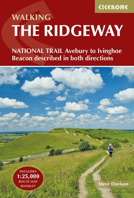
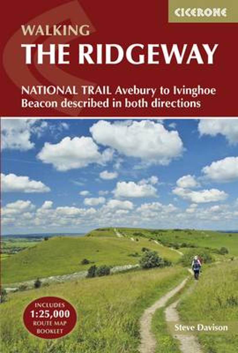
  • Wandelgids The Ridgeway | Cicerone
  • Guidebook to the Ridgeway National Trail, an 87-mile (139km) route through the south of England from Avebury in Wiltshire to Ivinghoe Beacon in Buckinghamshire. Accompanied by a pull-out 1:25K mapping booklet, this guidebook details the trail in both directions and features information on historic sites and facilities along the way. Read more
Stanfords
United Kingdom
2016
Bol.com
Netherlands
2016
  • The Ridgeway National Trail
  • This guidebook - which includes both a guide to the route and a separate OS map booklet - describes the Ridgeway National Trail, an 87 mile (139km) route through southern England from Avebury in Wiltshire to Ivinghoe Beacon in Buckinghamshire. Typically walked in 6 or 8 days, this is a low-level waymarked route suitable for all abilities and... Read more
Bol.com
Belgium
2016
  • The Ridgeway National Trail
  • This guidebook - which includes both a guide to the route and a separate OS map booklet - describes the Ridgeway National Trail, an 87 mile (139km) route through southern England from Avebury in Wiltshire to Ivinghoe Beacon in Buckinghamshire. Typically walked in 6 or 8 days, this is a low-level waymarked route suitable for all abilities and... Read more
» Click to close