The Book Depository
United Kingdom
2021
» Click to open
» Click to close
The Book Depository
United Kingdom
» Click to open
Stanfords
United Kingdom
» Click to close
The Book Depository
United Kingdom
The Book Depository
United Kingdom
» Click to open
Stanfords
United Kingdom
» Click to close
The Book Depository
United Kingdom
2017
» Click to open
» Click to close
The Book Depository
United Kingdom
2022
» Click to open
Stanfords
United Kingdom
2022
  • Braemar, Tomintoul & Glen Avon OS Explorer Map OL58 (paper)
  • Braemar, Tomintoul and Glen Avon area of the Cairmgorms National Park on a detailed topographic and GPS compatible map OL58, paper version, from the Ordnance Survey’s 1:25,000 Explorer series. Coverage includes part of the Deeside and Lochnagar National Scenic Area, Be Avon, 5 Munro peaks including, Beinn a’ Bhuird and Leabaidh an Daimh... Read more
» Click to close
The Book Depository
United Kingdom
2015
» Click to open
Stanfords
United Kingdom
2015
  • Lochindorb, Grantown-on-Spey & Carrbridge OS Explorer Map OL60 (paper)
  • Lochindorb, Grantown-on-Spey and Carrbridge area of the Scottish Highlands on a detailed topographic and GPS compatible map OL60, paper version, from the Ordnance Survey’s 1:25,000 Explorer series. Coverage includes part of the Cairngorms National Park, Strathdearn, sections of the Speyside Way and the Dava Way, etc.MOBILE DOWNLOADS: this title... Read more
» Click to close
The Book Depository
United Kingdom
2021
» Click to open
Stanfords
United Kingdom
2021
» Click to close
The Book Depository
United Kingdom
» Click to open
Stanfords
United Kingdom
  • Cairn Gorm & Aviemore - Loch Morlich OS Explorer Active Map OL57 (waterproof)
  • Cairn Gorm and Aviemore area of the Cairmgorms National Park on a detailed topographic and GPS compatible map OL57, waterproof version, from the Ordnance Survey’s 1:25,000 Explorer series. Coverage includes the Glenmore Forest Park, Loch Morlich, 16 Munro peaks including Carin Gorm, Bynack More and The Devil’s Point, the southern section of the... Read more
» Click to close
The Book Depository
United Kingdom
2019
» Click to open
De Zwerver
Netherlands
2019
Stanfords
United Kingdom
2019
  • The Speyside Way - Newtonmore to Buckie
  • The Speyside Way is one of Scotland`s four long distance footpaths and runs between Newtonmore and Buckie on the Moray Firth passing through some of Scotland`s most beautiful landscapes.This folded strip-map from Footprint is printed on waterproof paper and comes in durable slipcase. It provides compact and concise information for walkers with... Read more
» Click to close
De Zwerver
Netherlands
2018
De Zwerver
Netherlands
» Click to open
Stanfords
United Kingdom
  • Braemar, Tomintoul & Glen Avon OS Explorer Active Map OL58 (waterproof)
  • Braemar, Tomintoul and Glen Avon area of the Cairmgorms National Park on a detailed topographic and GPS compatible map OL58, waterproof version, from the Ordnance Survey’s 1:25,000 Explorer series. Coverage includes part of the Deeside and Lochnagar National Scenic Area, Be Avon, 5 Munro peaks including, Beinn a’ Bhuird and Leabaidh an Daimh... Read more
» Click to close
Stanfords
United Kingdom
Bol.com
Netherlands
2007
» Click to open
Bol.com
Belgium
2007
  • The Speyside Way
  • The Speyside Way runs for 80 miles (129 km) from the fishing port of Buckie to Aviemore in the foothills of the Cairngorms. Following the lovely valley of the River Spey, you walk through countryside rich in malt whisky and wildlife, along riverside paths, railway trackbed and forest and moorland tracks. This fully revised edition of the... Read more
» Click to close
The Book Depository
United Kingdom
2016
» Click to open
Stanfords
United Kingdom
2016
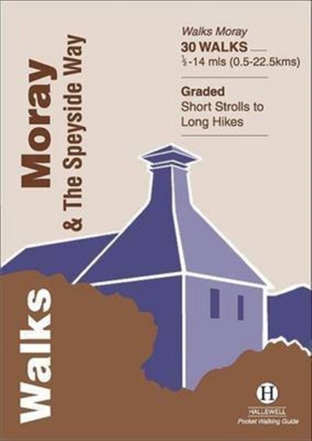
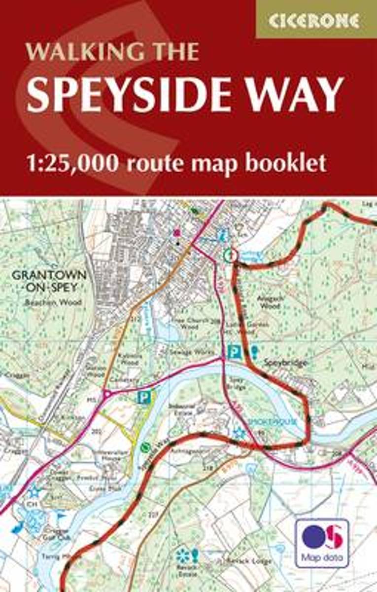
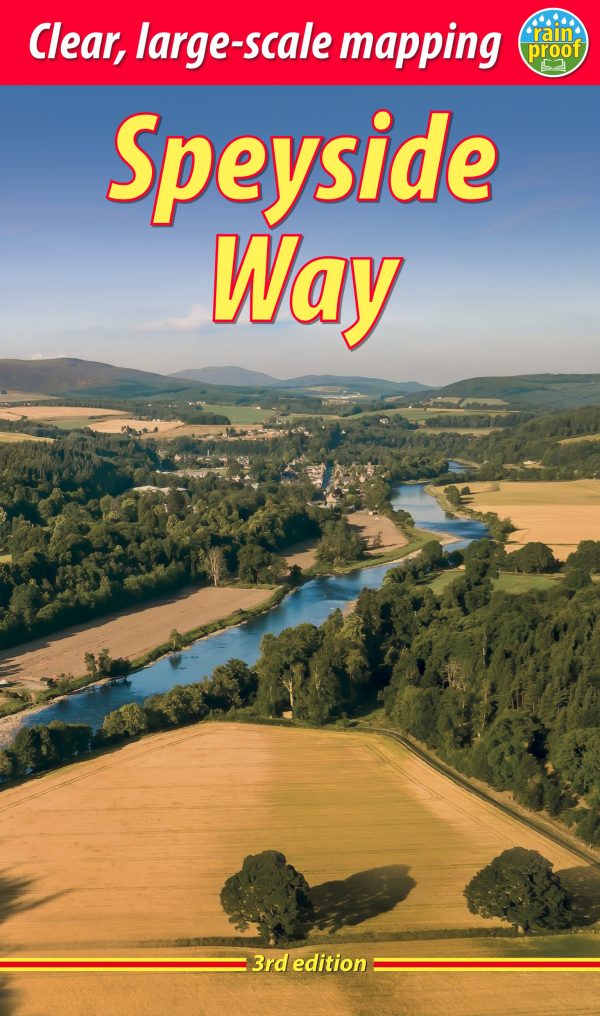
  • Speyside Way Cicerone Map Booklet
  • All the mapping you need to complete Scotland`s 66-mile (106km) Speyside Way, an official Scottish Long Distance Route which follows the River Spey through northern Scotland from Aviemore to the old port of Buckie on the Moray coast. As well as beautiful scenery, the Spey is famed for its salmon and its distilleries. The route features easy... Read more
Bol.com
Netherlands
2016
  • The Speyside Way Map Booklet
  • All the mapping you need to complete Scotland's 66-mile (106km) Speyside Way, an official Scottish Long Distance Route which follows the River Spey through northern Scotland from Aviemore to the old port of Buckie on the Moray coast. As well as beautiful scenery, the Spey is famed for its salmon and its distilleries. The route features easy... Read more
Bol.com
Belgium
2016
  • The Speyside Way Map Booklet
  • All the mapping you need to complete Scotland's 66-mile (106km) Speyside Way, an official Scottish Long Distance Route which follows the River Spey through northern Scotland from Aviemore to the old port of Buckie on the Moray coast. As well as beautiful scenery, the Spey is famed for its salmon and its distilleries. The route features easy... Read more
» Click to close