Map No. 720, Cloud Peak Wilderness in Wyoming, at 1:45,000 in an extensive series of GPS compatible, contoured hiking maps of USA’s national and state parks or forests and other popular recreational areas. Cartography based on the national topographic survey, with additional tourist information.The maps, with most titles now printed on light,...Read more
Here is an excellent opportunity to learn about the volcanic events and landforms of the American West while hiking ten trails through its most scenic mountains. Hikes in New Mexico, Arizona, Wyoming, California, Oregon and Washington reveal the fury of past events and demonstrate the power of volcanic activity today. In this book and on the...Read more
Here is an excellent opportunity to learn about the volcanic events and landforms of the American West while hiking ten trails through its most scenic mountains. Hikes in New Mexico, Arizona, Wyoming, California, Oregon and Washington reveal the fury of past events and demonstrate the power of volcanic activity today. In this book and on the...Read more
From short scenic day trips to multi-day backpacking excursions, Hiking Wyoming's Bighorn Mountains covers dozens of trails throughout the region including lands of the Bighorn National Forest, the Cloud Peak Wilderness Area, as well as surrounding state and federal lands. Written by outdoor enthusiast and author, Ken Keffer, Hiking Wyoming's...Read more
From short scenic day trips to multi-day backpacking excursions, Hiking Wyoming's Bighorn Mountains covers dozens of trails throughout the region including lands of the Bighorn National Forest, the Cloud Peak Wilderness Area, as well as surrounding state and federal lands. Written by outdoor enthusiast and author, Ken Keffer, Hiking Wyoming's...Read more
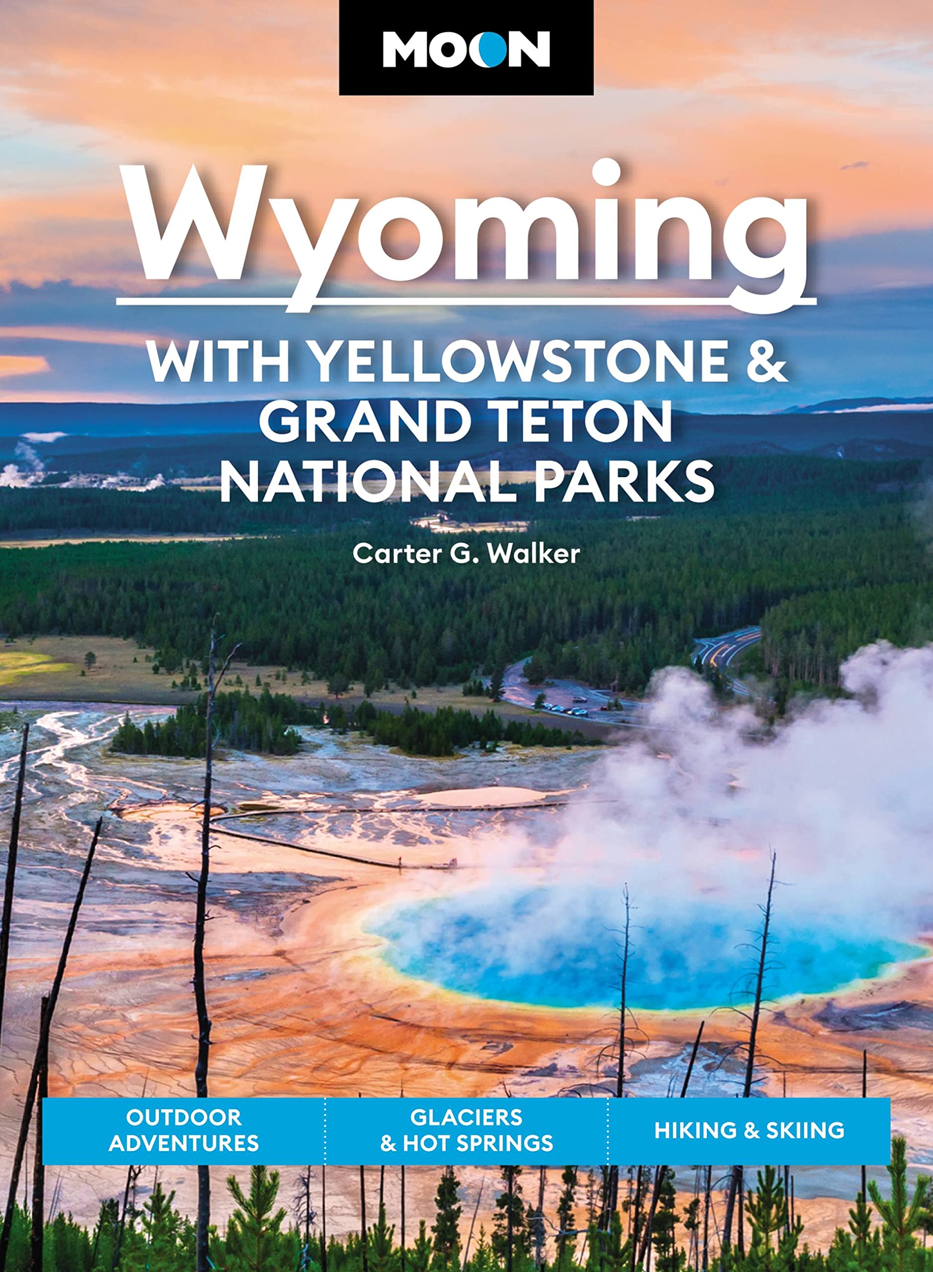
In the northwest corner of the Territory of Wyoming, about half way between the Mississippi River and the Pacific Ocean, and in the same latitude as the State of New York, the grand Rocky Mountain system culminates in a knot of peaks and ranges enclosing the most remarkable lake basin in the world. From this point radiate the chief mountain...Read more
In the northwest corner of the Territory of Wyoming, about half way between the Mississippi River and the Pacific Ocean, and in the same latitude as the State of New York, the grand Rocky Mountain system culminates in a knot of peaks and ranges enclosing the most remarkable lake basin in the world. From this point radiate the chief mountain...Read more
Fully updated and revised, this second edition has detailed descriptions and maps of fifty-five trails, from Devils Tower National Monument and Mount Rushmore National Memorial to Custer State Park, Wind Cave, and Badlands National Park.Read more
Fully updated and revised, this second edition has detailed descriptions and maps of fifty-five trails, from Devils Tower National Monument and Mount Rushmore National Memorial to Custer State Park, Wind Cave, and Badlands National Park.Read more
Colorado1st Edition - December 15, 2014The Continental Divide Trail Pocket Map Series is a complete and concise set of topographic maps created withdigitized base maps covering every step of the 3,016 mile trail from Mexico to Canada.The most current data available! This reflects the recently located, official CDTThe land cover, hydrology and...Read more
Colorado1st Edition - December 15, 2014The Continental Divide Trail Pocket Map Series is a complete and concise set of topographic maps created withdigitized base maps covering every step of the 3,016 mile trail from Mexico to Canada.The most current data available! This reflects the recently located, official CDTThe land cover, hydrology and...Read more
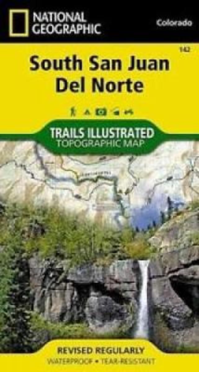
Map No. 142, South San Juan - Del Norte, CO, in an extensive series of GPS compatible, contoured hiking maps of USA’s national and state parks or forests and other popular recreational areas. Cartography based on the national topographic survey, with additional tourist information.The maps, with most titles now printed on light, waterproof and...Read more
Waterproof Tear-Resistant Topographic MapCoverage includes Rio Grande and San Juan national forests; South San Juan Wilderness; Dipping Lakes and Spiler Lakes; Lost Lake; Platoro and Fuchs Reservoirs; South Fork and Conejos rivers; the cities of Del Norte, South Fork, Wagon Wheel Gap, Summitville, Jasper, Cumbres, Platoro; and the...Read more
Waterproof Tear-Resistant Topographic MapCoverage includes Rio Grande and San Juan national forests; South San Juan Wilderness; Dipping Lakes and Spiler Lakes; Lost Lake; Platoro and Fuchs Reservoirs; South Fork and Conejos rivers; the cities of Del Norte, South Fork, Wagon Wheel Gap, Summitville, Jasper, Cumbres, Platoro; and the...Read more
Walking Across America is the story of John and Helen Beams long trek across the country. They didnt walk the walk because they were disillusioned with society or stifled in their jobs, or because they needed to find themselves or plumb their relationships to nature. Theyd led blessed lives and carried no such romantic baggage. They...Read more
Walking Across America is the story of John and Helen Beams long trek across the country. They didnt walk the walk because they were disillusioned with society or stifled in their jobs, or because they needed to find themselves or plumb their relationships to nature. Theyd led blessed lives and carried no such romantic baggage. They...Read more
Travis Letteer was carried to his first coon tree before he could walk, and had been to numerous bear and cat trees before he was old enough to attend school. A lifelong houndsman, he was born and raised on the Washington Coast, but moved to Idaho when Washington lost it's bear and cat, hound seasons. He has hunted his dogs in numerous western...Read more
Travis Letteer was carried to his first coon tree before he could walk, and had been to numerous bear and cat trees before he was old enough to attend school. A lifelong houndsman, he was born and raised on the Washington Coast, but moved to Idaho when Washington lost it's bear and cat, hound seasons. He has hunted his dogs in numerous western...Read more
The 75 sites described in this guide take you across the red desert to the high mountain majesty of the Big Horns and Wind Rivers as well as the geologic wonders of Yellowstone National Park. Graham, a former hardrock miner, developed an interest in rocks at an early age, and he shares his enthusiasm for rockhounding and his appreciation for...Read more
The 75 sites described in this guide take you across the red desert to the high mountain majesty of the Big Horns and Wind Rivers as well as the geologic wonders of Yellowstone National Park. Graham, a former hardrock miner, developed an interest in rocks at an early age, and he shares his enthusiasm for rockhounding and his appreciation for...Read more