The Book Depository
United Kingdom
» Click to open
Stanfords
United Kingdom
  • Everest - Trekking Map & Complete Guide
  • Everest Trekking Guide from Milestone Books with very detailed and informative stage-by-stage descriptions of main Mt Everest trek from Lukla and Namche Bazaar to the Everest Base Camp, plus the route to the Gokyo Lakes. Each route is presented on coloured map extracts from the accompanying separate fold-out map, includes a route profile, and... Read more
» Click to close
De Zwerver
Netherlands
» Click to open
Stanfords
United Kingdom
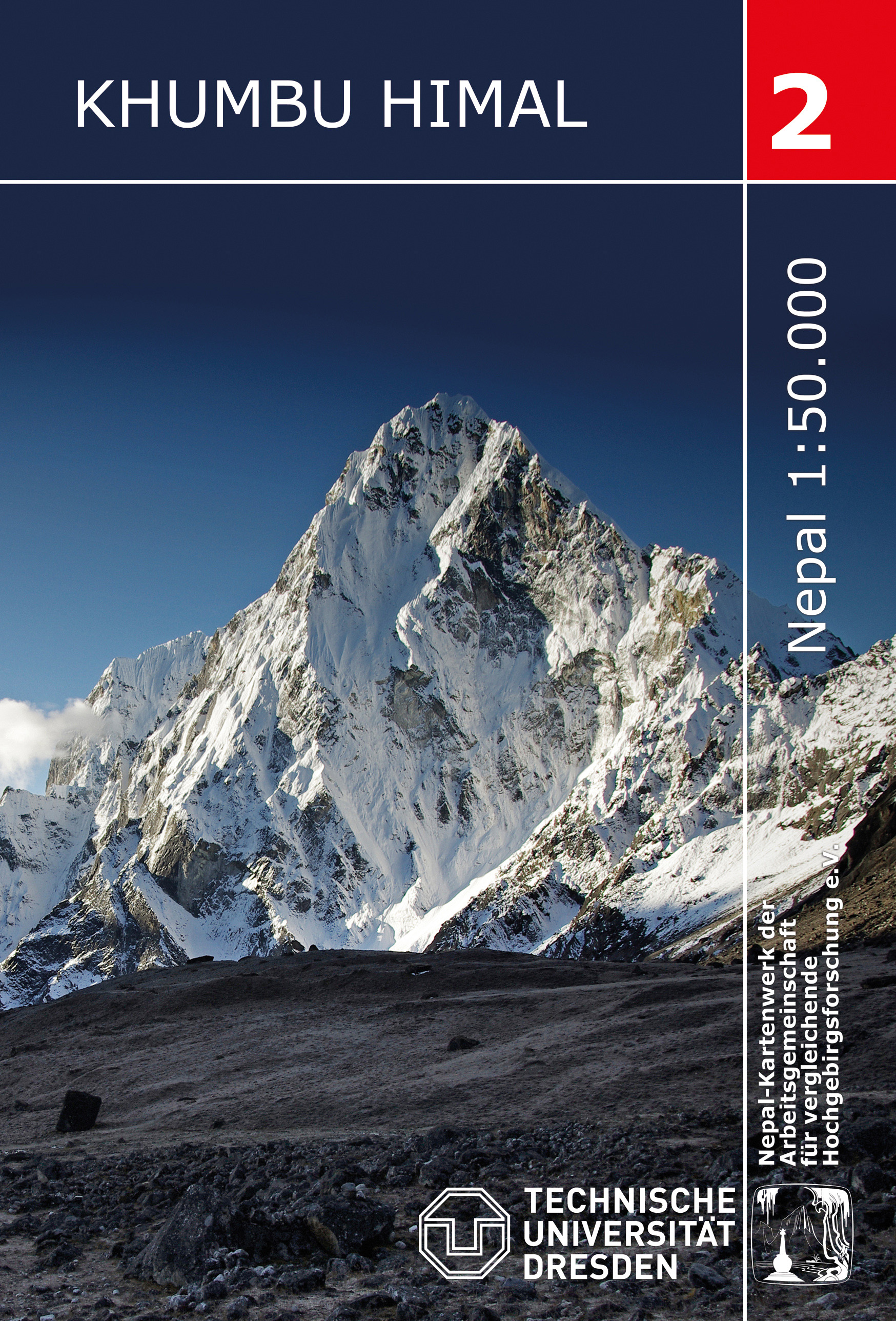
  • Khumbu Himal Schneider Nepal Map 02
  • Khumbu Himal area at 1:50,000 on a waterproof and tear-resistant map in the famous Schneider series, revised in 2013 to include extensive tourist information for trekking routes to the Mount Everest Base Camp, Gokyo Lakes, Island Peak, Makalu Base Camp, etc. Coverage extends north from Namche Bazaar and along the Tibetan border from the Lunag... Read more
» Click to close
De Zwerver
Netherlands
De Zwerver
Netherlands
» Click to open
Stanfords
United Kingdom
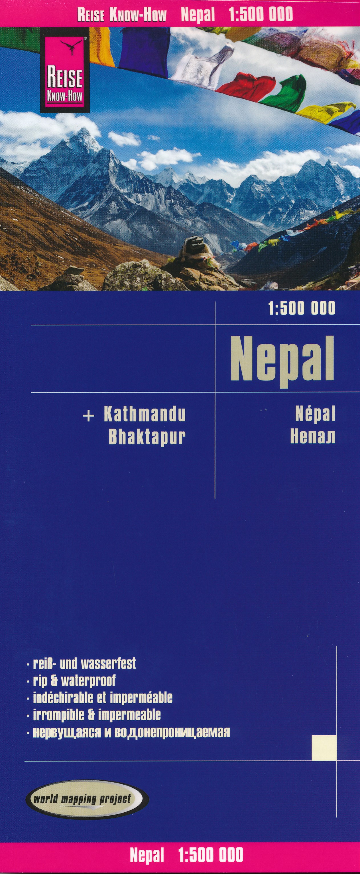
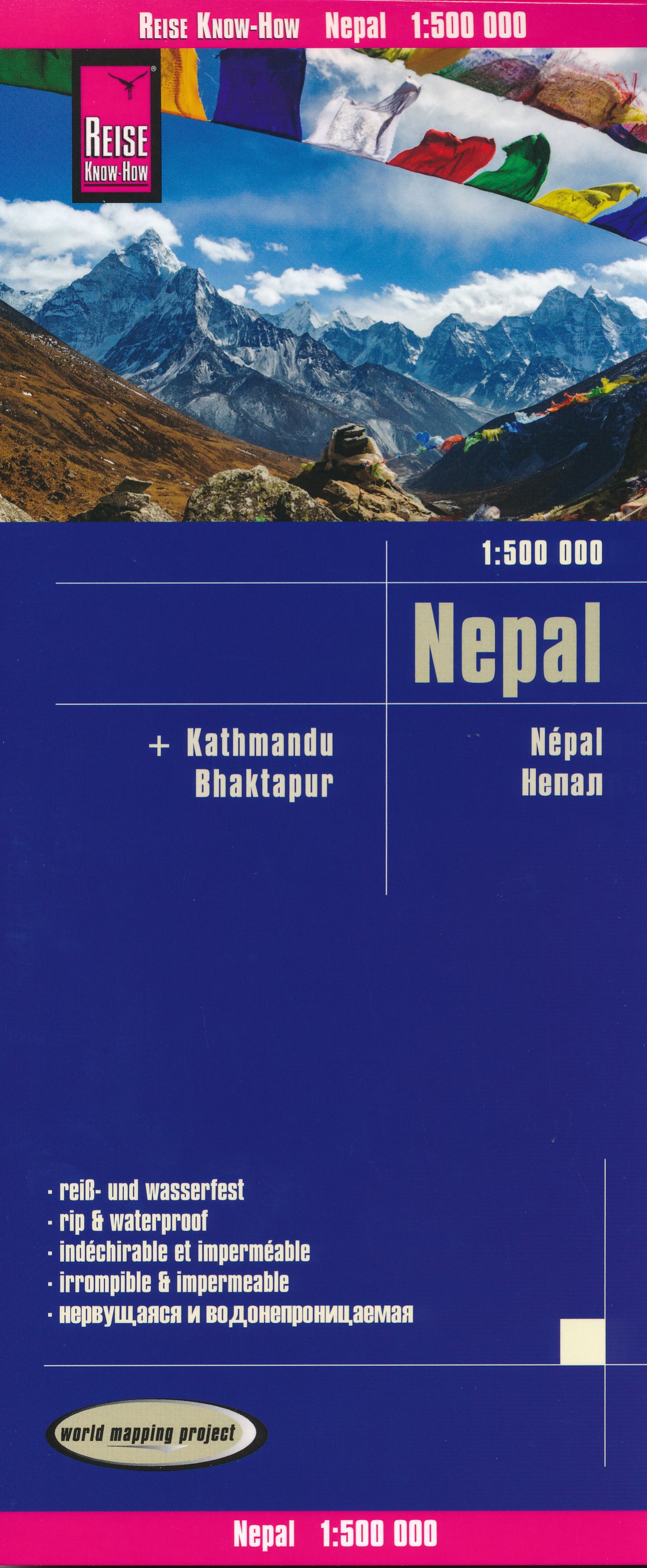
  • Nepal Reise Know-How
  • Nepal on an indexed, waterproof and tear-resistant road map, ideal for locating the country`s numerous famous peaks, with topographic and tourist information, and enlargements for Kathmandu, Pokhara, and Chitwan regions, plus Bhaktapur. The map, published by Reise Know-How as part of their highly acclaimed World Mapping Project, is double-sided... Read more
» Click to close
De Zwerver
Netherlands
2005
De Zwerver
Netherlands
De Zwerver
Netherlands
» Click to open
Stanfords
United Kingdom
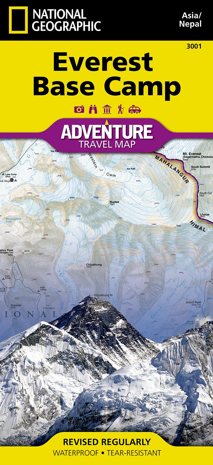
  • Everest Base Camp NGS Adventure Map 3001
  • Everest Base Camp area at 1:50,000 approx. on indexed, light, waterproof and tear-resistant hiking map, with a plan of the Kathmandu/Patan area including an enlargement of the Thamel district, plus an overview map of the whole country.The map is part of a series covering Nepal’s four most popular trekking areas. The maps were prepared by the... Read more
» Click to close
De Zwerver
Netherlands
De Zwerver
Netherlands
» Click to open
Stanfords
United Kingdom
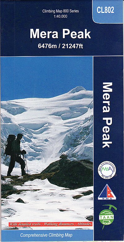
  • Mera Peak
  • Trekking route to the Mera peaks at 1:40,000 in the Nepa Maps series which provides extensive coverage of trekking areas of Nepal on detailed contoured maps with trekking routes and hiking trails, huts and camp sites, local places of interest and other tourist information.The map shows a section of the main Everest trek between Taksindu and... Read more
» Click to close
De Zwerver
Netherlands
2023
De Zwerver
Netherlands
» Click to open
Stanfords
United Kingdom
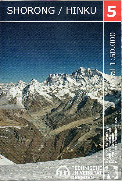
  • Shorong - Hinku
  • Shorong - Hinku region of Nepal at 1:50,000 on a waterproof and tear-resistant map in the famous Schneider series, revised in 2013 to include extensive tourist information for trekking routes in the area directly south of the Sagarmatha National Park. Centered on Lukla, coverage extends north to Namche Bazaar and south just beyond Kharikhola... Read more
» Click to close
De Zwerver
Netherlands
» Click to open
Stanfords
United Kingdom
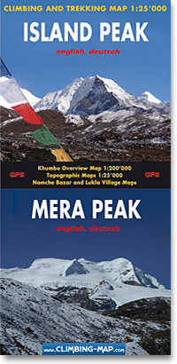
  • Island Peak - Mera Peak
  • Two peaks of Nepal’s western Himalayas, Island Peak (Imja Tse) and Mera Peak, presented by Swiss publishers Climbing Map on separate contoured and GPS compatible panels at 1:25,000; plus drawings showing approach routes to each peak, plans of Lukla and Namche Bazar, an overview map of the Khumbu Himal region, etc.On one side the main panel is... Read more
» Click to close
Stanfords
United Kingdom
Stanfords
United Kingdom
Stanfords
United Kingdom