The Book Depository
United Kingdom
United Kingdom
- Delos - Mykonos - Rheneia
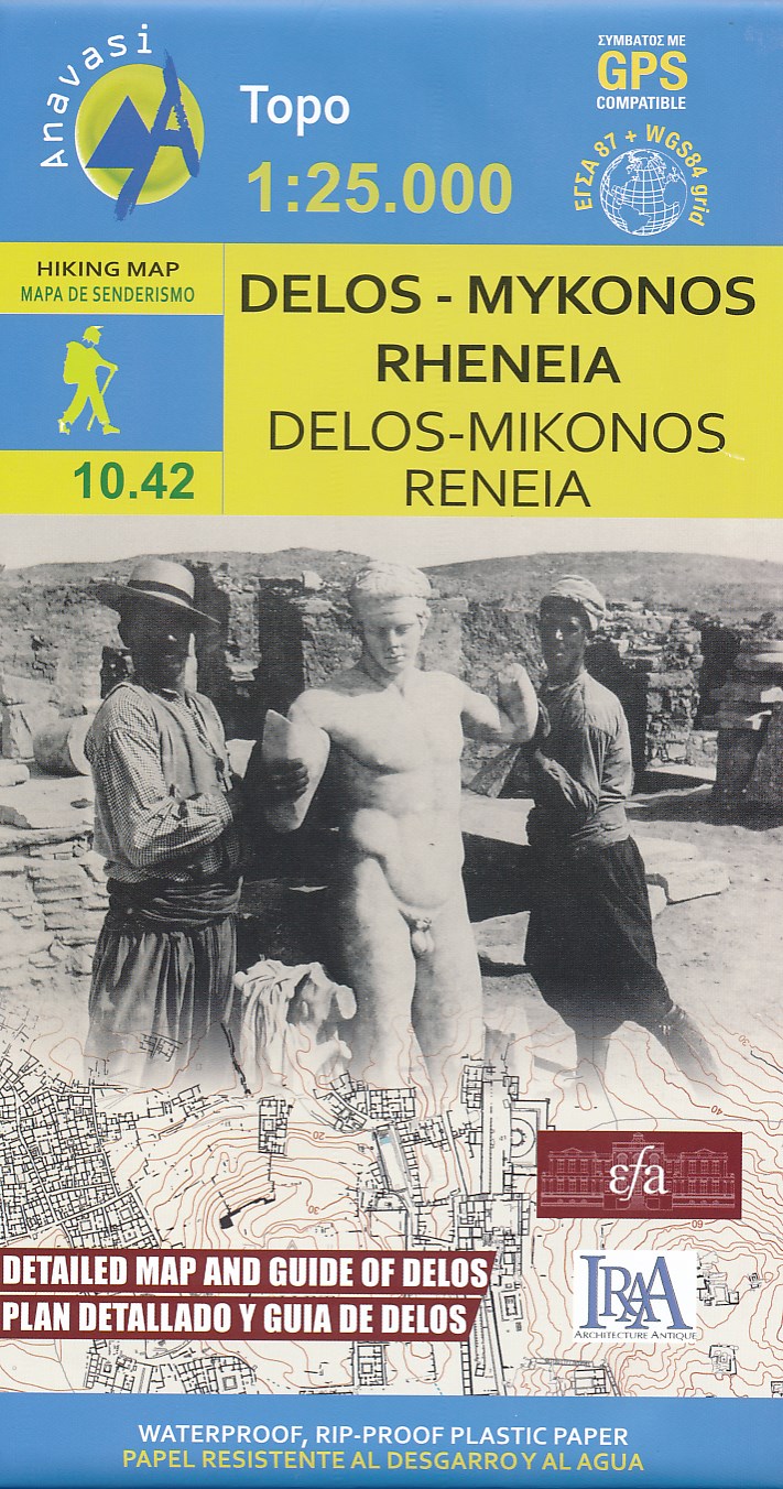
- Mykonos with the nearby islands of Delos and Rineia / Rheneia on a light, waterproof and tear-resistant, GPS compatible map at 1:25,000 from Anavasi. The reverse side shows a large, very detailed plan of the archaeological remains on Delos of the temples of Apollo, Artemis and Leto.Topography of the islands is shown by contours with hill... Read more
- Also available from:
- De Zwerver, Netherlands
- Stanfords, United Kingdom
De Zwerver
Netherlands
Netherlands
- Wandelkaart 10.42 Delos - Mykonos (Mikonos) - Rheneia (Reneia) | Anavasi
- Mykonos with the nearby islands of Delos and Rineia / Rheneia on a light, waterproof and tear-resistant, GPS compatible map at 1:25,000 from Anavasi. The reverse side shows a large, very detailed plan of the archaeological remains on Delos of the temples of Apollo, Artemis and Leto.Topography of the islands is shown by contours with hill... Read more

Stanfords
United Kingdom
United Kingdom
- Mykonos - Delos - Rheneia / Rineia Anavasi 10.42
- Mykonos with the nearby islands of Delos and Rineia / Rheneia on a light, waterproof and tear-resistant, GPS compatible map at 1:25,000 from Anavasi. The reverse side shows a large, very detailed plan of the archaeological remains on Delos of the temples of Apollo, Artemis and Leto.Topography of the islands is shown by contours with hill... Read more